A planned stay in the Canary Islands? Discover the natural beauty of Fuerteventura with our selection of the most beautiful hikes on the island!
Imagine a wild and plural island, between land and sea, between mineral and volcanic... Welcome to Fuerteventura! Located 100 km from the north coast of Africa, the second largest island in the Canary Islands appreciates its warmth throughout the year.
A relaxing synonym with its white sandy beaches, Fuerteventura will also seduce adventure and outdoor mordus. Indeed, very popular for the practice of water sports, the island is also full of hiking trails that will make you discover exceptional landscapes.
Whether you’re looking at the beauty of the coast or exploring the volcanic lands, you’ll only have to choose from our selection of the best hikes to do in Fuerteventura!
1. Volcán Calderón Hondo
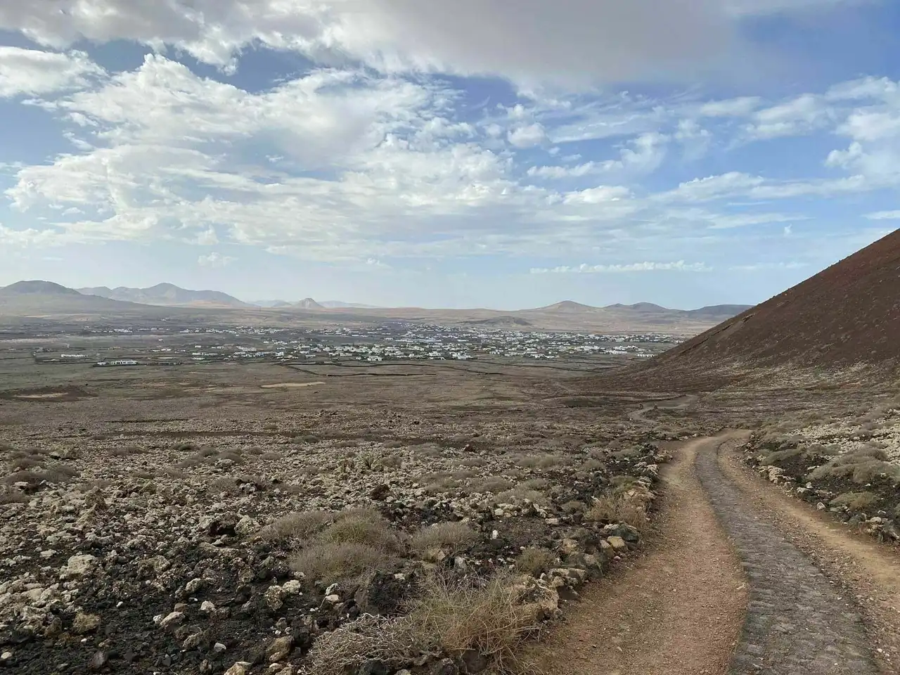
Photo credit: Alltrails
- Duration : about 1h15
- Distance 4.7 km
- Denivelé 176 m
- Difficulty Average
- See the hiking trail
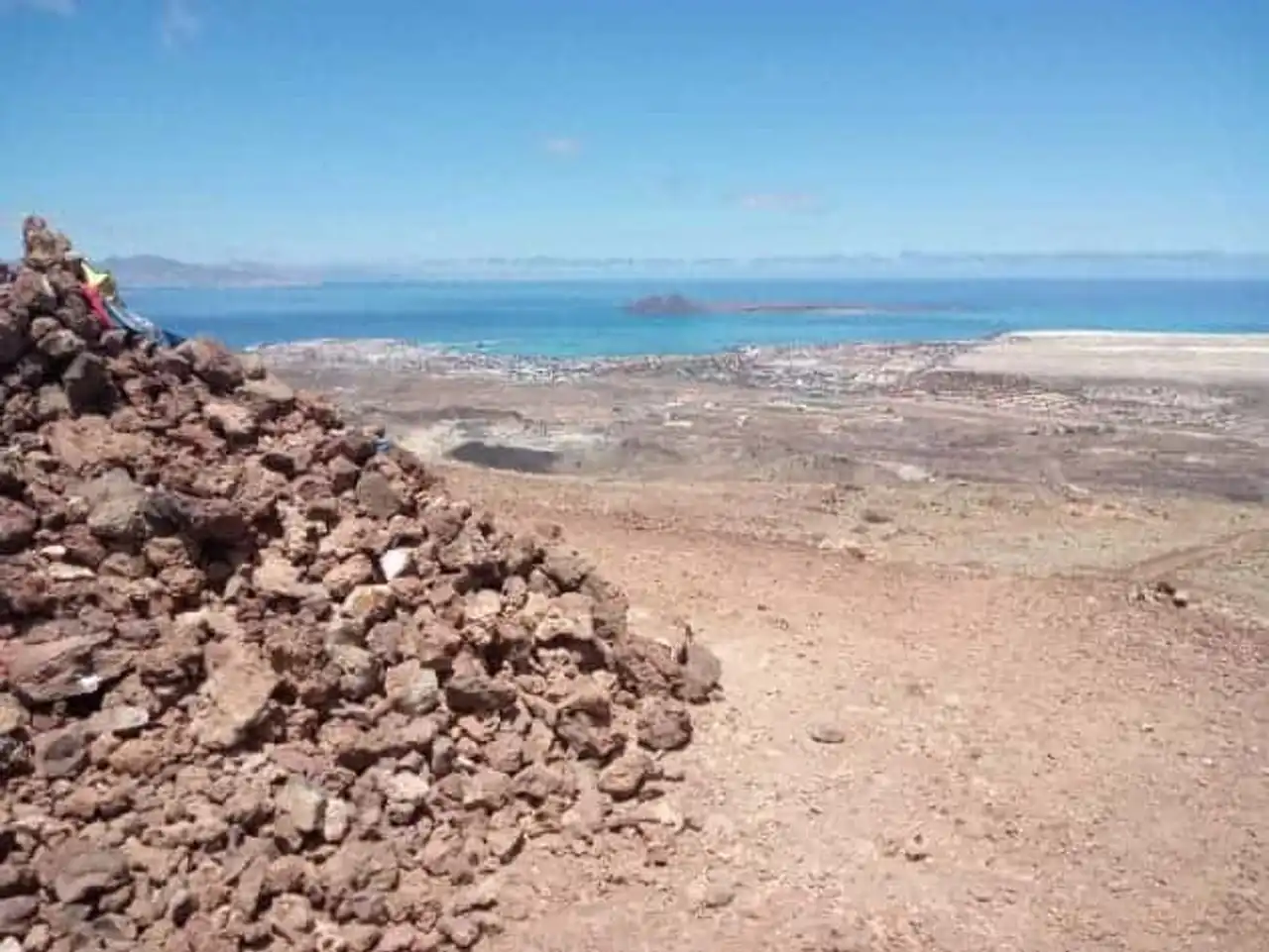
This first hike in Fuerteventura promises you a unique experience: the climb of the Hondo volcano, a the island’s must !
Easy access and very well marked, the hike is located north of the island, near the village of Lajares. The trail forms a loop during which you can observe panoramas worthy of a trip on the moon! The two paths that form the loop allow access to the volcano through the front of the Montaña Colorada .
Thus, two routes are possible:
- The easy route: when the trail separates in two, take the right of the trail Montaña Colorada. It is the path that bypasses the volcano by the south. The walk is easy with little denimation, to finally arrive at the stairs leading to the crater. For the return you have the choice between going back on your steps or attempting the descent on the other side, a little more inclined;
- The sports route: instead of taking to the right, take the other path that bypasses the volcano by the left. And get ready to climb with good hiking shoes!
Along the path, it is a beautifully contrasted landscape that opens to you: between the blue of the sea and the red of the earth. Finally, the crater of the Calderón Hondo , which means “deep pot”, imposes itself with more than 70 m of depth and 100 m of diameter. Once you arrive to him, it is a breathtaking view of the island that awaits you!
2. Isla de Lobos
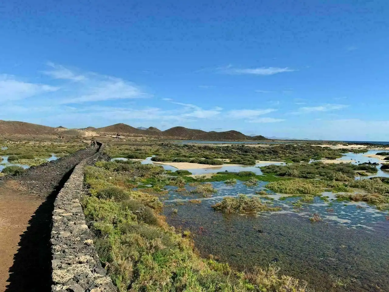
Photo credit: Alltrails
- Duration : about 2h30
- Distance 10.1 km
- Denivelé : 140 m
- Difficulty Average
- See the hiking trail
Located northeast of the island of Fuerteventura, Isla de Lobos is a small island uninhabited of some 4.58 km2. Paradise of birds, the island forms a natural reserve since 1982 and is also part of the Natural Park of the dunes of Fuerteventura.
During this hike, discover the wonders of this small natural paradise: the Playa de la Concha (plage of shell for its shape), Faro de Martiño (phare), Las Lagunitas (Lagoons), saladares (laughing) and to finish the Caldera volcano, from which a sumptuous view awaits you.
To reach the island of Lobos, the crossing is made by ferry from Corralejo for a price of 15€ . Make sure you book your ticket in advance. Then you only have to take advantage of the pleasant journey of just 15 minutes to reach the island!
3. Presa de las Peñitas – Ermita de la Peña
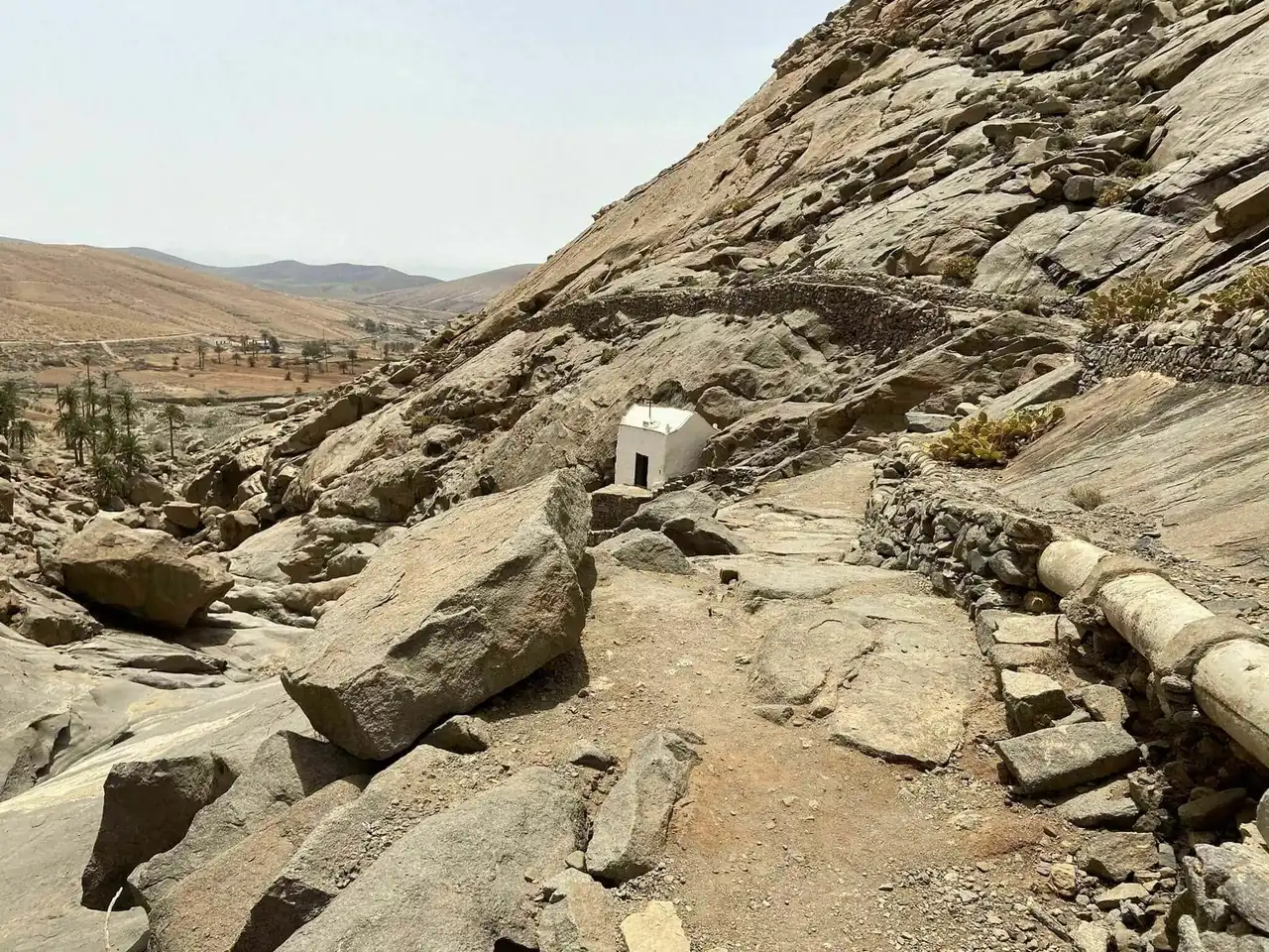
Photo credit: Alltrails
- Duration : about 1h
- Distance 3.7 km
- Denivelé : 57 m
- Difficulty Easy
- See the hiking trail
This hike in Fuerteventura is located near Betancuria. The return path is easy, uncommon and also runs along a lake. It is an ideal walk for those who want to see beautiful landscapes without making too much effort.
Thus, the walk takes you to discover a pretty valley through an incredible vegetation that borders the path, all surrounded by dry and dry mountains. Finally, the trail ends with the passage of a gorge that takes you to the discovery of a small chapel. From here, enjoy a unique view of the hilly landscape of Fuerteventura.
4. Pico de la Zarza
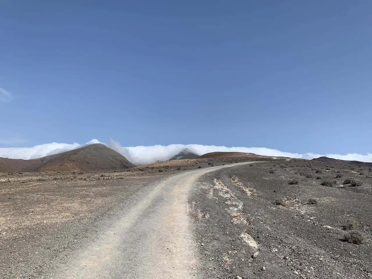
Photo credit: Alltrails
- Duration : about 4h30
- Distance 13 km
- Denivelé 694 m
- Difficulty : Difficult
- See the hiking trail
Pico de la Zarza is a hike near Pájara that is perfect for experienced adventurers! Indeed, it takes you through a path to the highest point of the island of Fuerteventura. So, prepare good walking shoes to attack the 694 m of denial that await you!
At about 200 metres from the top, the trail steeped by forming a stone staircase. But the final show rewards all the efforts provided. In front of your eyes is a breathtaking view of the Jandía peninsula and the beaches of Cofete and Barlovento!
5. Sendero Bayuyo
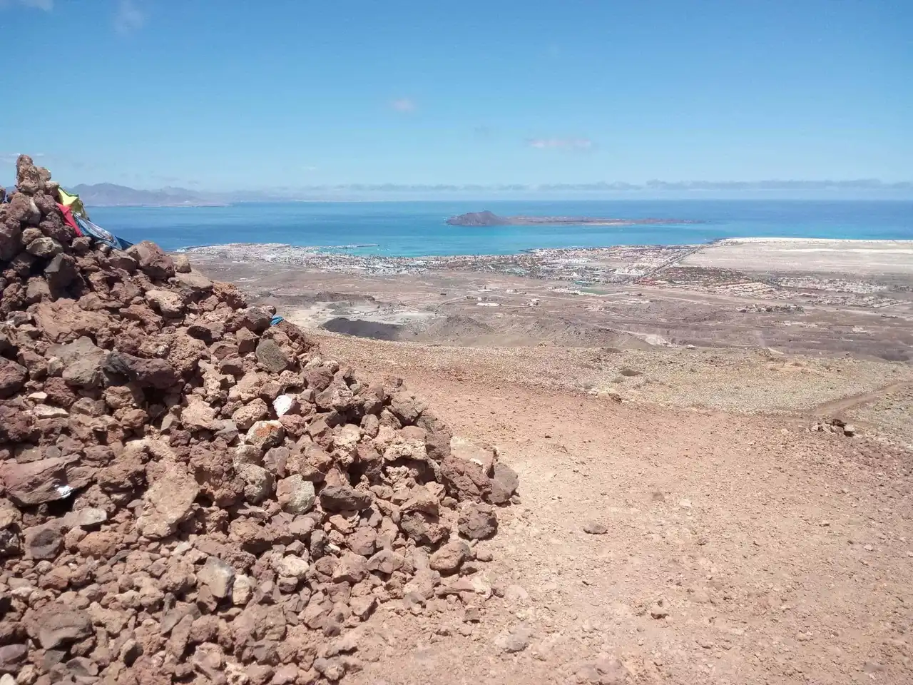
Photo credit: Alltrails
- Duration : about 2 hours
- Distance 7.9 km
- Denivelé : 244 m
- Difficulty Average
- See the hiking trail
Located north of the island near La Oliva, this hike in Fuerteventura forms a loop trail of almost 8 kilometers. Finally, this is the somewhat longer and original version of the first Hiking of the Hondo volcano.
Indeed, Sendero Bayuyo crosses a volcanic landscape contrasting with the white sandy beaches of the northern coast of Fuerteventura. The path passes through Montaña La Caldera and offers views on several volcanoes in the region, such as the Bayuyo volcano, Calderón Hondo and Montaña Colorada .
A lunar panorama with the sea as a background: this summarises perfectly this hike to be done in Fuerteventura!
6. Puerto de la Peña
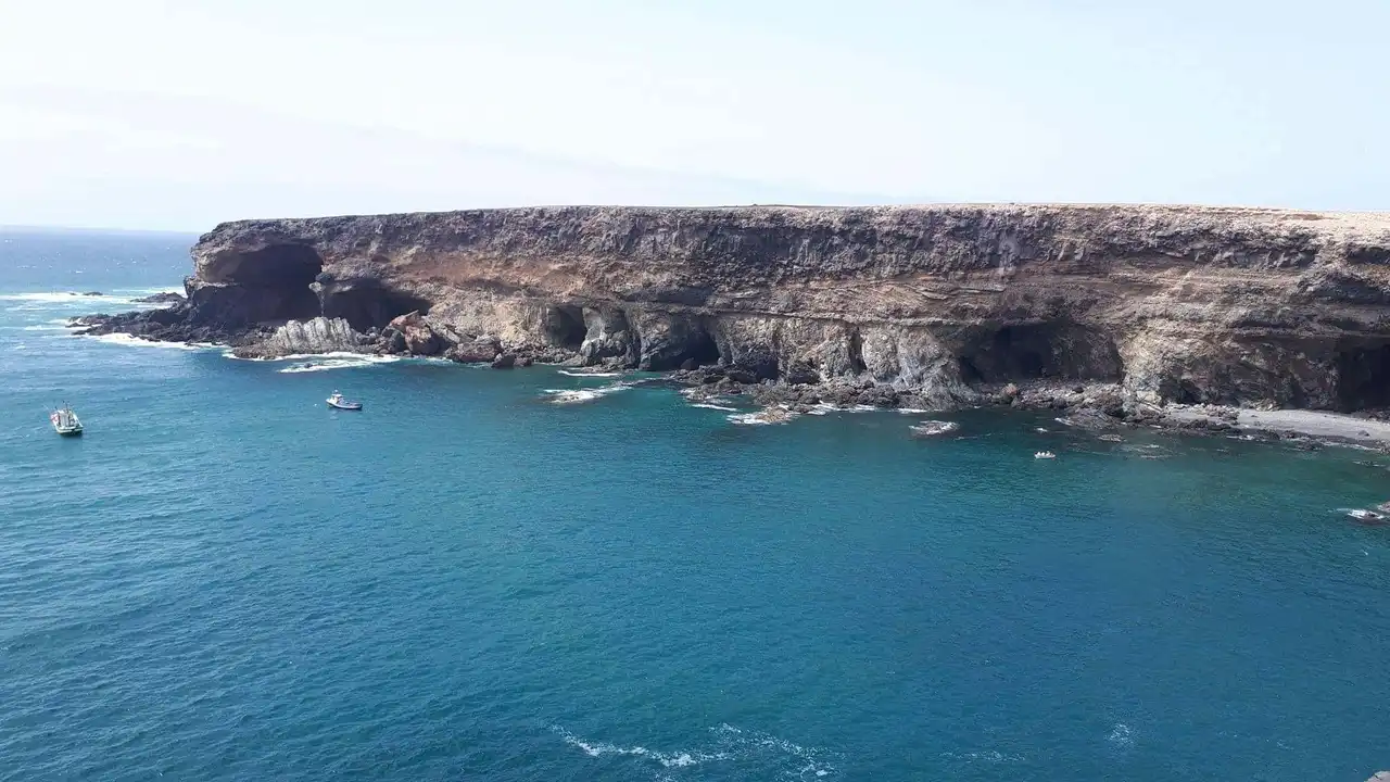
Photo credit: Alltrails
- Duration : less than 1h
- Distance 1.3 km
- Denivelé 34 m
- Difficulty Easy
- See the hiking trail
This hike in Fuerteventura is located on the west side of the island, near the town of Pájara. The trail along the coast allows you to discover the beauty of the coastline and its rock formations.
If the hike is assessed as easy, still wait to climb several stairs. But these few efforts will be duly rewarded. Indeed, they are large caves with impressive geological formations that await you. And to finish this beautiful hike, discover a fascinating black sandy beach.
7. Dunas de Corralejo
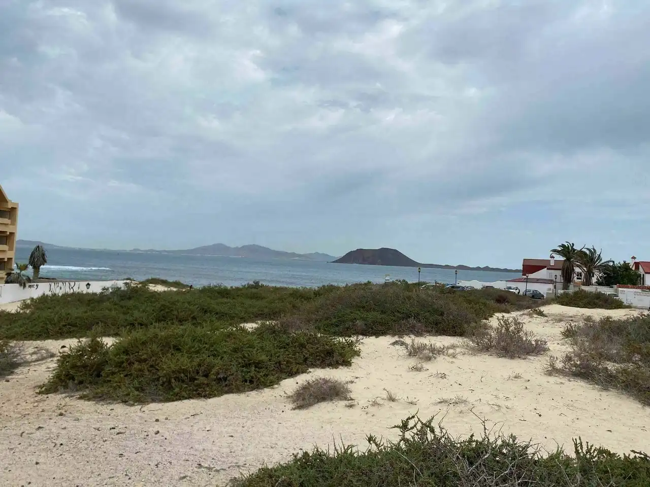
Photo credit: Alltrails
- Duration : about 2h45
- Distance 12.6 km
- Denivelé 66 m
- Difficulty Easy
- See the hiking trail
This time, go northeast of the island to discover the Natural Park of Corralejo, a must-see site during your stay in Fuerteventura!
This hike takes you north of the park, where the panorama is just exceptional. In fact, you can admire the mix of white sand dunes with turquoise waters of the ocean, all with a view of the two islands of the northern archipelago... A unique experience!
8. Degollada de Marrubio – Moro de Tegtuno – Morro Velosa
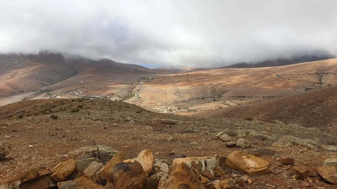
Photo credit: Alltrails
- Duration : about 1h45
- Distance : 6.4 km
- Denivelé 350 m
- Difficulty Average
- See the hiking trail
This last hike in Fuerteventura forms a looped path that is near Betancuria. If the itinerary is physically demanding, it remains technically easy. Especially since the panoramas crossed are highly rewarded with the efforts provided.
Finally, we advise you to bring you windproof clothes and provide plenty of water for this hike.


Loading comments ...