Pornic, a small port on the Atlantic, is first known for its seaside activities, such as the beach, or the sailing. But hiking in Pornic is another great way to enjoy the air of the sea!
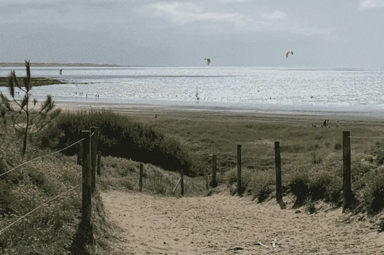
With its coastal kilometers directly overlooking the Atlantic, Pornic is comfortably located at the foot of its castle, on the very pretty coast of Jade. It forms an alternation of short granite cliffs with bretonne looks and large sandy beaches, which concentrate most of the attention of holidaymakers. This seaside is largely silled by iodine-baked hiking paths, while in the land, the Pornic countryside, crossed by the Haute Perche canal and quadrated with bores, also offers various and varied walking routes.
With a mild and oceanic climate, hiking is a valid option all year round in the vicinity, summer and winter: it is also the best alternative to the beach on rainy days! In this region with flat reliefs, thus having little knowledge of denial, the difficulty is found more in the weather of the day (high wind, rain), than in the technicality of the course. Good shoes and sticks will be enough to discover the most beautiful hikes of Pornic, even the most difficult.
1. The Douaniers Trail from Saint-Gildas Point
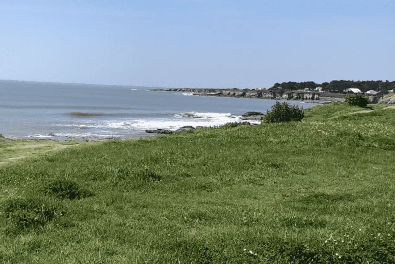
Photo credit: Alltrails
- Duration : about 3h45
- Distance 15.6 km
- Denivelé 201 m
- Difficulty Moderate
- See the hiking trail
This first hike around Pornic begins on the side of Saint-Gildas, just about 15 minutes' drive away. At the level of the Sémaphore, from the top of small brown cliffs, the view is already magnificent on the ocean, and the vast estran discovered at low tide. A marine setting that accompanies you throughout this walk, following exclusively the coastal path to Pornic.
There is no problem for you to find yourself, either to go through this route that is accessible to the greatest number, without difficulty. Many breaks are possible along the Douaniers Trail, whether on the terrace on the way, or directly on one of the many crossed beaches on the way. A hike as beautiful in a time threatening as under the sun, ideal for filling the iodine lungs.
2. Along the coast of Jade from Pornic
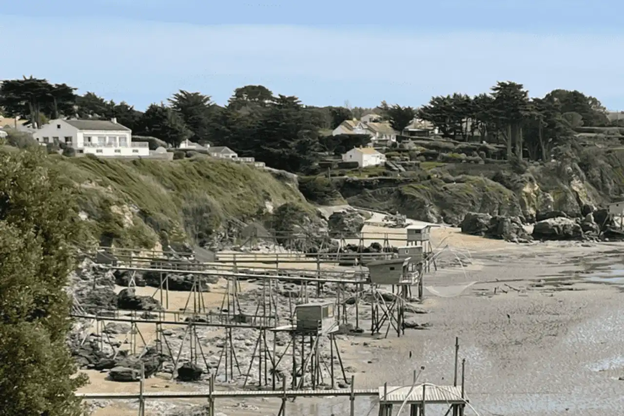
Photo credit: Alltrails
- Duration : about 2h45
- Distance 11.4 km
- Denivelé : 142 m
- Difficulty Moderate
- See the hiking trail
A hike in Pornic which takes a sort of relay from the first: you begin to the south of the Anse des Lapins and the port, on the side of the Corniche de Gourmalon, to continue your walk on the Douaniers Trail. After surpassing the last dwellings of the station, the trail becomes preserved, narrow and wilder, until reaching the large beach of the Boutinardière.
On the way, there are many small fisheries typical of the region, along with magnificent views of the ocean. At low tide, take advantage of the withdrawal of the sea to explore the small beaches, cliffs, and the rocky replis of the Jade coast.
The return is done in a loop, leaving a little the coastline to wind through the quiet streets of the Joselière and the Birochère, and thus return to Pornic and the starting point.
3. The loop of the Saint-Gildas tip
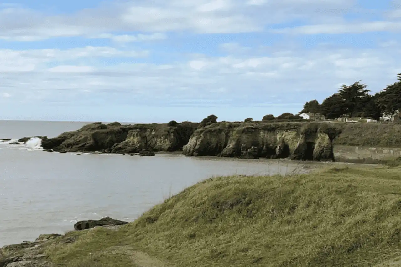
Photo credit: Alltrails
- Duration : about 1h45
- Distance 7.4 km
- Denivelé 65 m
- Difficulty : easy
- See the hiking trail
Back to the tip Saint-Gildas, 15 minutes' drive, for this hike around Pornic both short and easy, ideal for a small family outing half day. Unless you plan more time to enjoy the beach! In the loop, the hike begins and ends in fact at the level of the Grande Plage, in Préfailles, where swimming is easy and monitored.
The itinerary, simple and well marked, is to take a look at the natural reserve of the tip of Sainte-Gildas, via the Sémaphore, the old bunkers and the orientation table, with a view Black South. We then switch to the estuary side of the Loire, before cutting through the countryside through the path of the Prée, to find the starting point. An iodized rando in the days when the wind blows.
4. The canal of Haute Perche and the pond of Val Saint-Martin
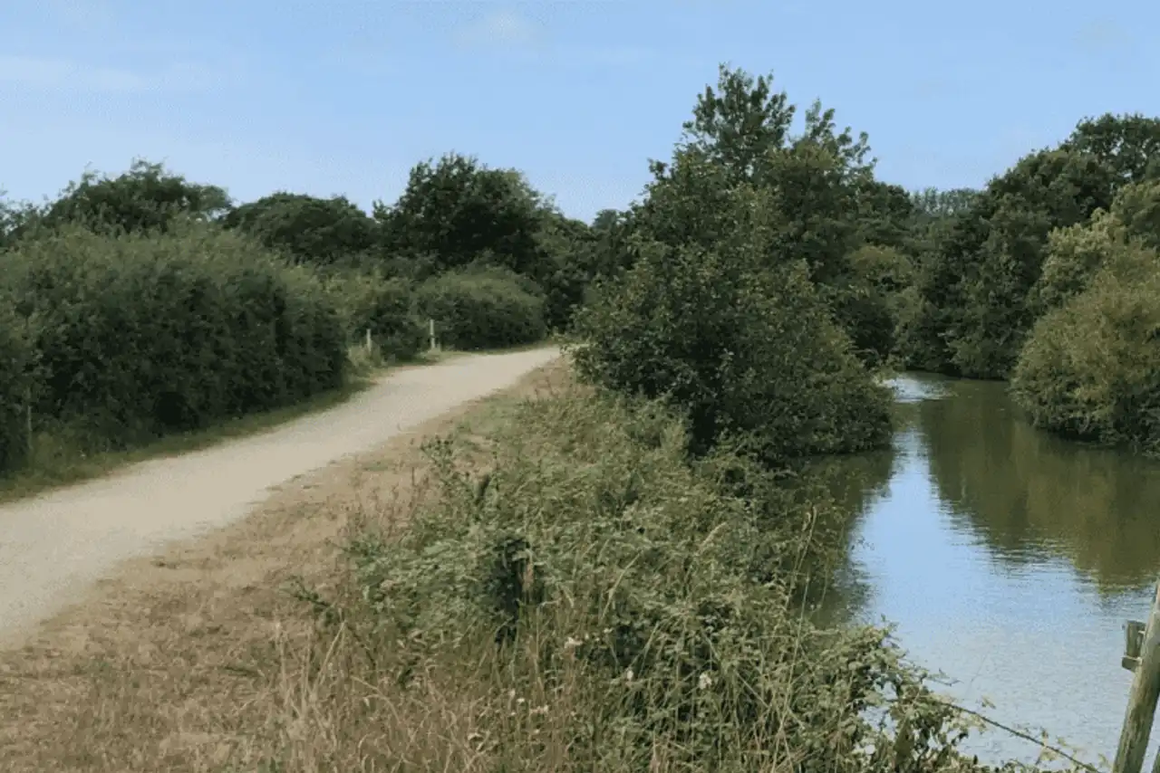
Photo credit: Alltrails
- Duration : about 2h30
- Distance 10.9 km
- Denivelé 95 m
- Difficulty Moderate
- See the hiking trail
Let's leave for a moment the coastline with this hike in Pornic, whose departure is just outside the city (less than 10 minutes by car from the center), to explore the surroundings.
Thus, this easy route, well marked in its entirety, actually brings together two! A part takes place along the canal of Haute Perche, peaceful and green, through pleasant landscapes of bocages. In a second time, the walk leads us all around the pond of Val Saint-Martin, a nice quiet water plan surrounded by greenery, appreciated by walkers, cyclists and fishermen. Many possibilities of picnic break in the shade on the way.
5. The Boivre circuit and the forest of the Pierre Attelée
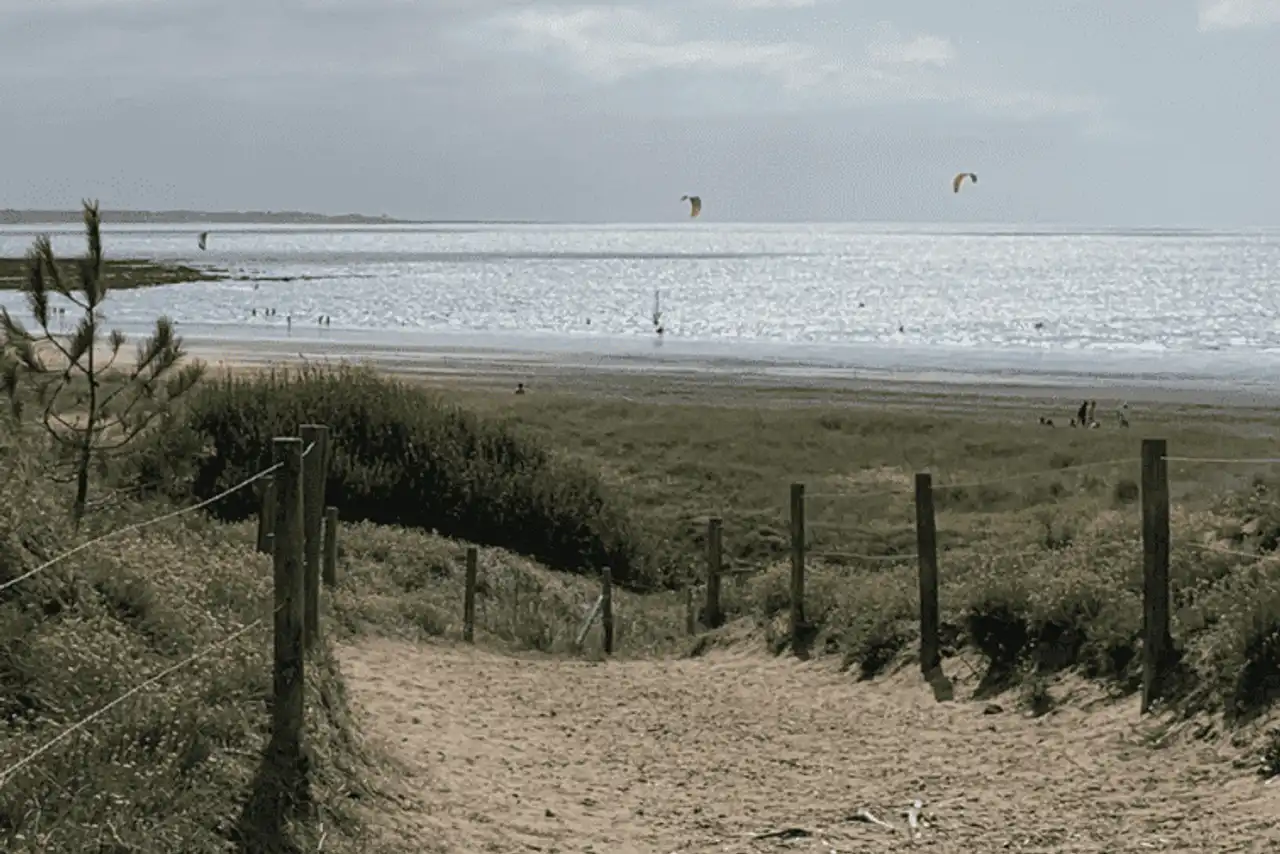
Photo credit: Alltrails
- Duration : about 3h
- Distance 12.7 km
- Denivelé 122 m
- Difficulty Moderate
- See the hiking trail
We leave at 15 minutes drive north to find the starting point of this beautiful hike around Pornic, on the commune of Saint-Brevin-les-Pins. Varied and above all very beautiful, this route is the occasion of a great walk in the half-day, where one does not care to waste time watching the landscape...
The walk begins through the dunes, along the beach, before entering the forest of the Pierre Attelée with the delicious odors of maritime pines, last of its kind on the coast of Jade. We then leave the coast for a more campagnard trail, which crosses among others the marshes of Boivre, refuge of many birds.
6. The Safari and Tenu circuit
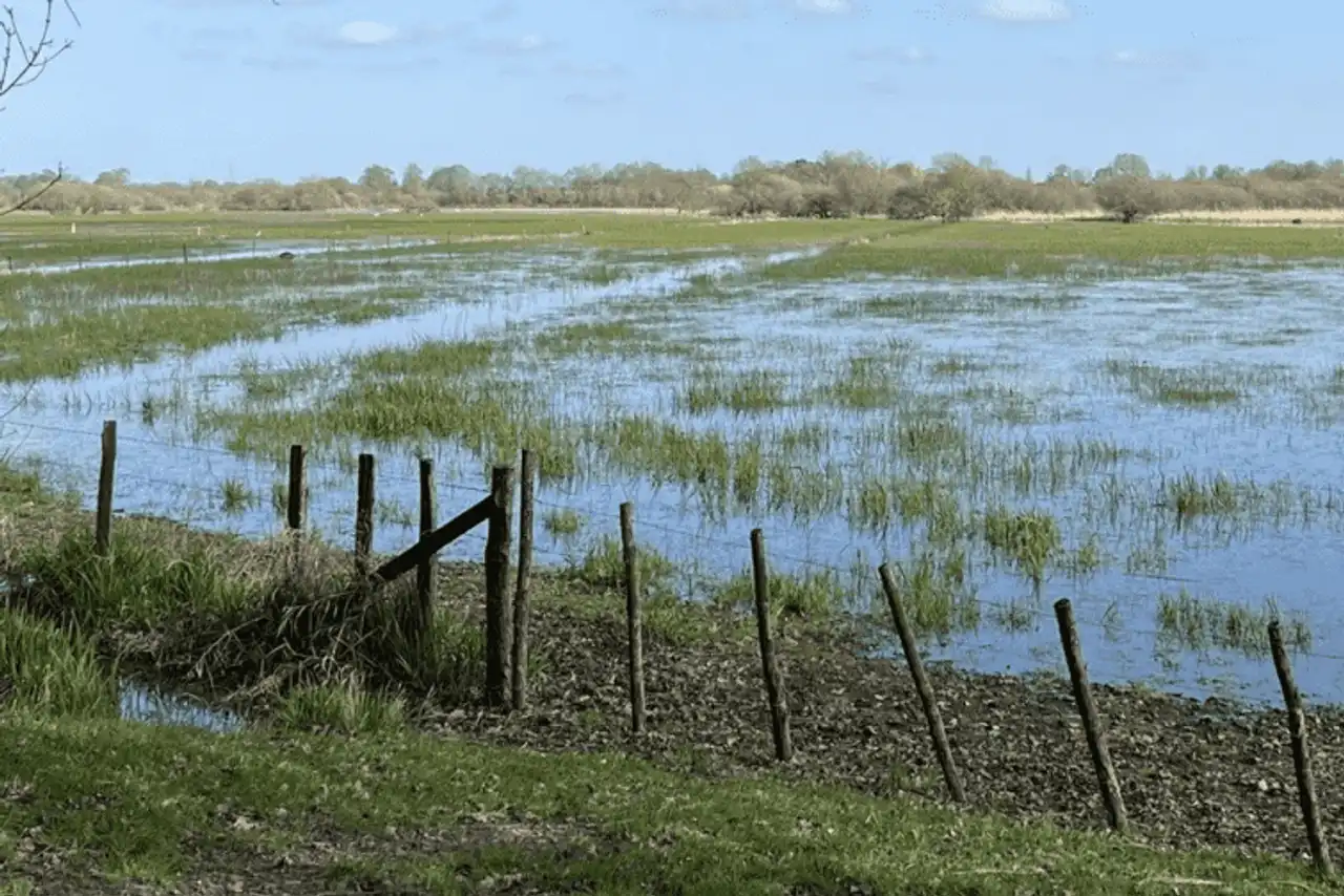
Photo credit: Alltrails
- Duration : about 1h20
- Distance 5.6 km
- Denivelé 66 m
- Difficulty : easy
- See the hiking trail
This hike in Pornic takes more of the little walk than the great exit, but it will delight children with some surprises on the way. The itinerary runs along the Wild Planet animal park, from which surprising noises escape. We can see some uncommon animals around the corner: wolves, antelopes, daims, buffalos...
The trail then finds the tranquillity of the country of Retz, between fields and vineyards interspersed with bocages, forming a loop with no difficulty. The departure is opposite Port-Saint-Père – Saint-Mars train station, accessible from Pornic in 30 minutes drive, or 45 minutes from TER.
7. The circuit of the pond of the Beusse
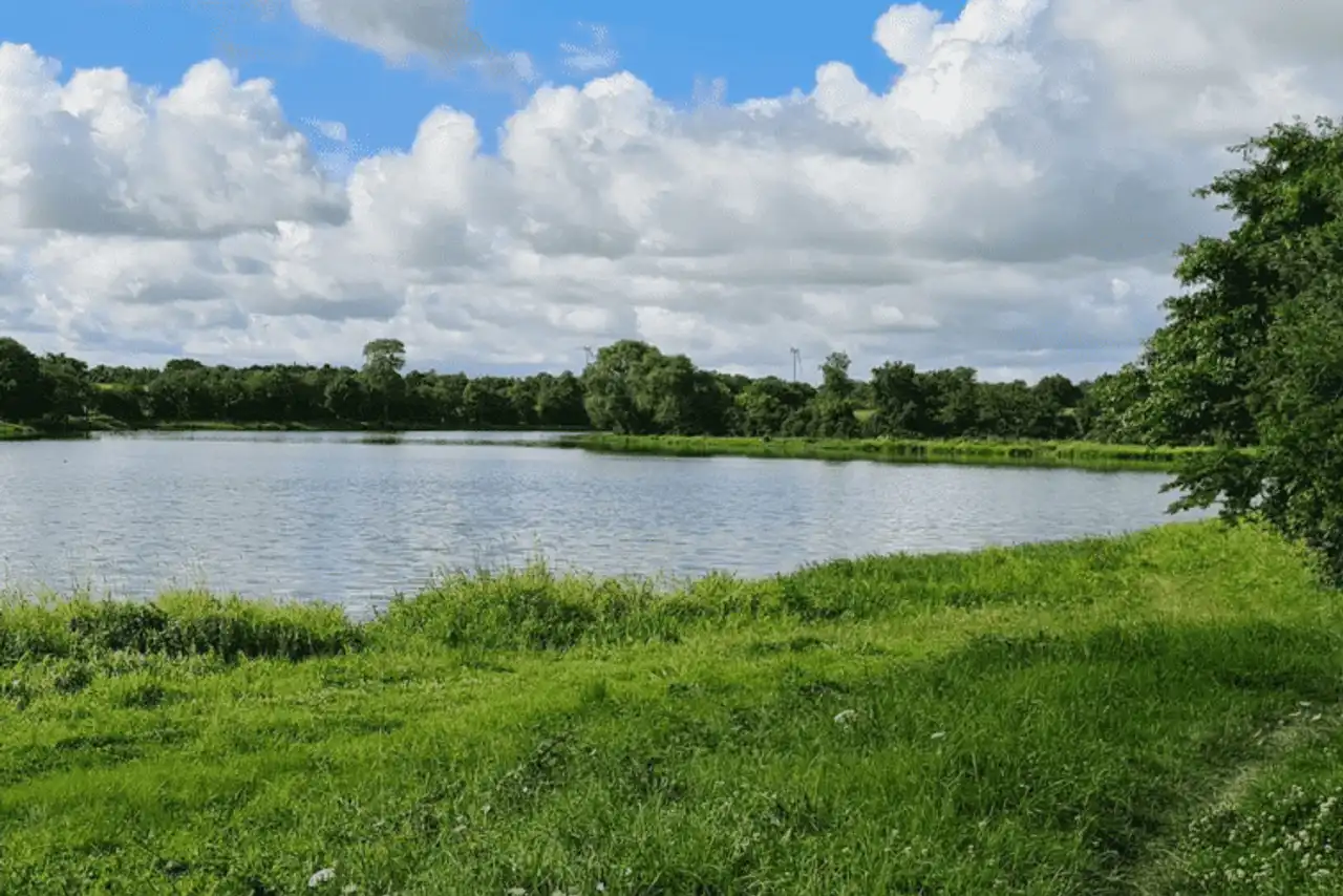
Photo credit: Alltrails
- Duration : about 2h10
- Distance 8.2 km
- Denivelé 137 m
- Difficulty : easy
- See the hiking trail
Let’s stop in the hinterland of the Retz Country, this time on the side of the Beusse pond. We are about half an hour’s drive from Pornic, to offer a good green bet in the countryside.
Thus, the tranquility is complete from end to end of this well-kept road, alternated between the banks of the pond of the Beusse and its quiet waters, small shaded undergrowth, fields and boredom typical of the region, without forgetting several hamlets and places: a whole rural world living at its pace, away from the seasonal agitation of the coast.
8. The circuit Les Sables Rouge
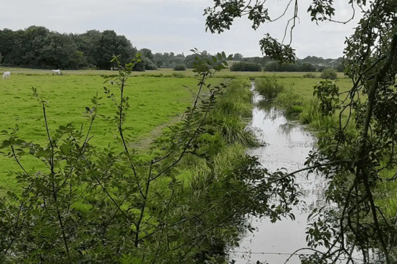
Photo credit: Alltrails
- Duration : about 1h40
- Distance 6.8 km
- Denivelé 91 m
- Difficulty : easy
- See the hiking trail
Let's continue this discovery of the Country of Retz on the countryside side with a last nice hike around Pornic, whose departure is just a step from Port-Saint-Père (30 minutes by car). Numerous hedges and undergrowth composing the bocage, fields, vineyards, but also pastures, the decor is planted, typical of the region in its hinterland.
An ancient Roman way allows you to progress at your pace towards the tiny Port Hamoneau, on the Acheneau River, where fishermen are not rare. The itinerary, in a loop, brings you back to the starting point by crossing old sandy quarries, exploited from the end of the nineteenth century, from which the circuit draws its name.



Loading comments ...