These photographs taken by satellites for Google Earth show us unusual landscapes of our planet.
Since the launch of Google Earth in 2005, the world has had the opportunity to have access to an infinite number of landscapes seen from the sky. Millions of photos taken by satellite were assembled and quickly internet users spotted unusual places .
These superb photos, sometimes abstract, are therefore the work of Google Earth View a collection of photographs of the most striking landscapes collected by satellites. These photos, slightly improved in colour, are real works of art, the only artist is nature.
The crater of Acraman located in the Gawler chain in South Australia. 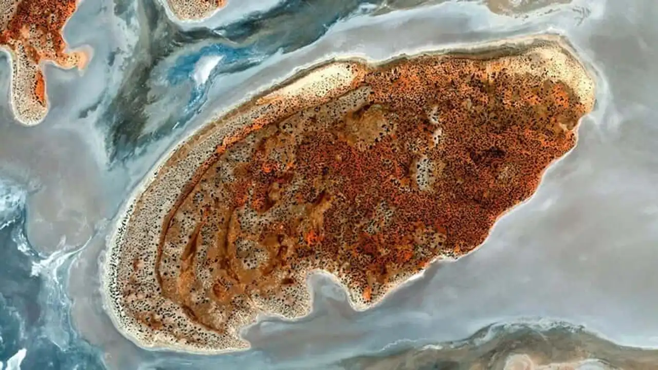
Photo credit: Google Earth
The village of Chaurikharka in Nepal, near the town of Lukla, a popular place for visitors towards Everest. 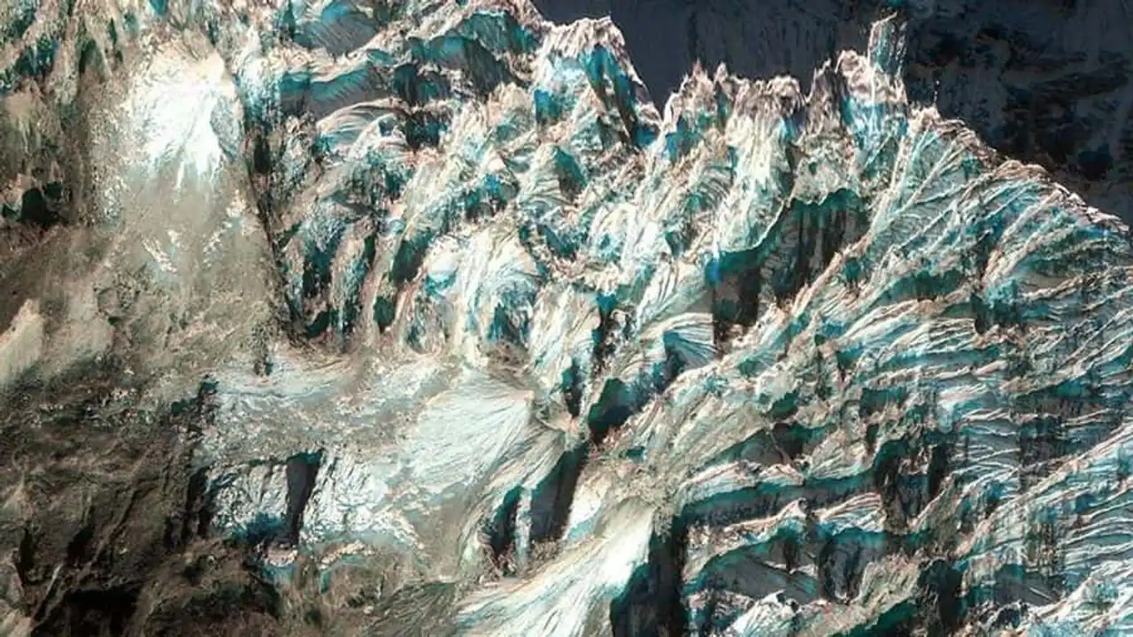
Photo credit: Google Earth
Nukufetau atoll in Tuvalu. 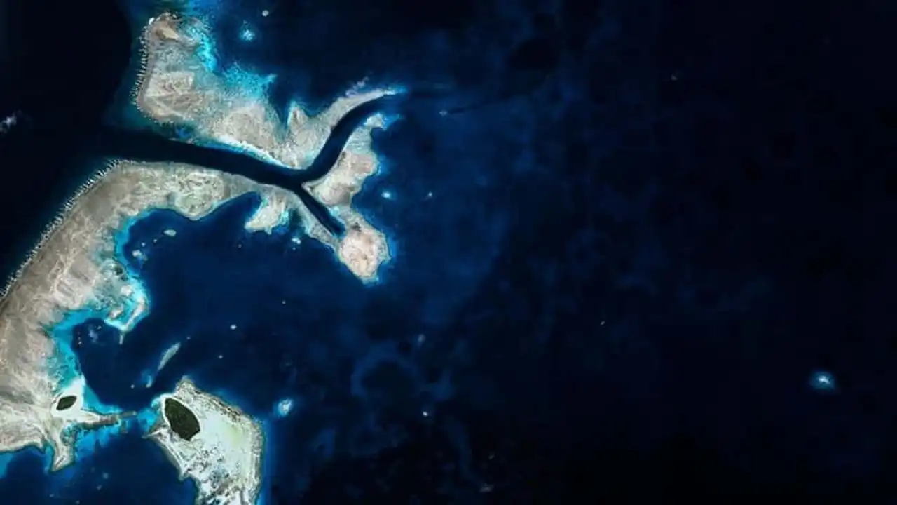
Photo credit: Google Earth
Mahajanga, a popular destination in Madagascar. 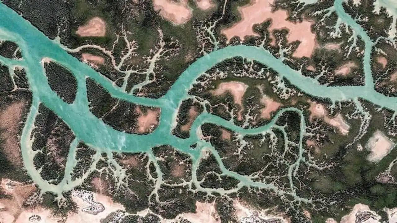
Photo credit: Google Earth
The peak Teide , is a volcano located in the Canary Islands, on the island of Tenerife. 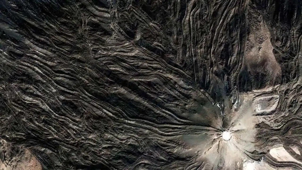
Photo credit: Google Earth
The Andes Cordillera, the longest continental mountain range in the world, Argentina. 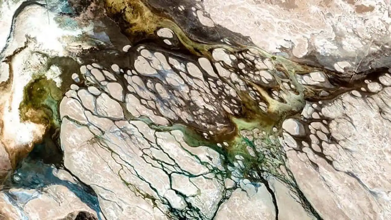
Photo credit: Google Earth
Lake District, Cumbria County, is one of England’s most remarkable natural places. 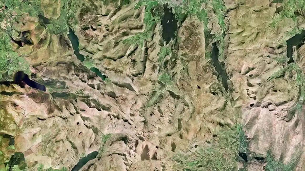
Photo credit: Google Earth
Kaikoura Peninsula, New Zealand. An ideal place to observe whales. 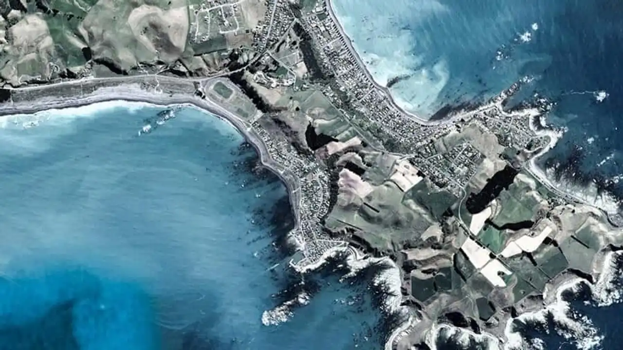
Photo credit: Google Earth
Patterns in the desert, near Boutilimit, Mauritania. 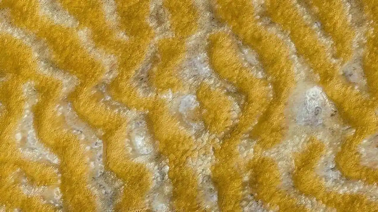
Photo credit: Google Earth
Guerrero Negro, in the Mexican state of Basse-Californie du Sud. 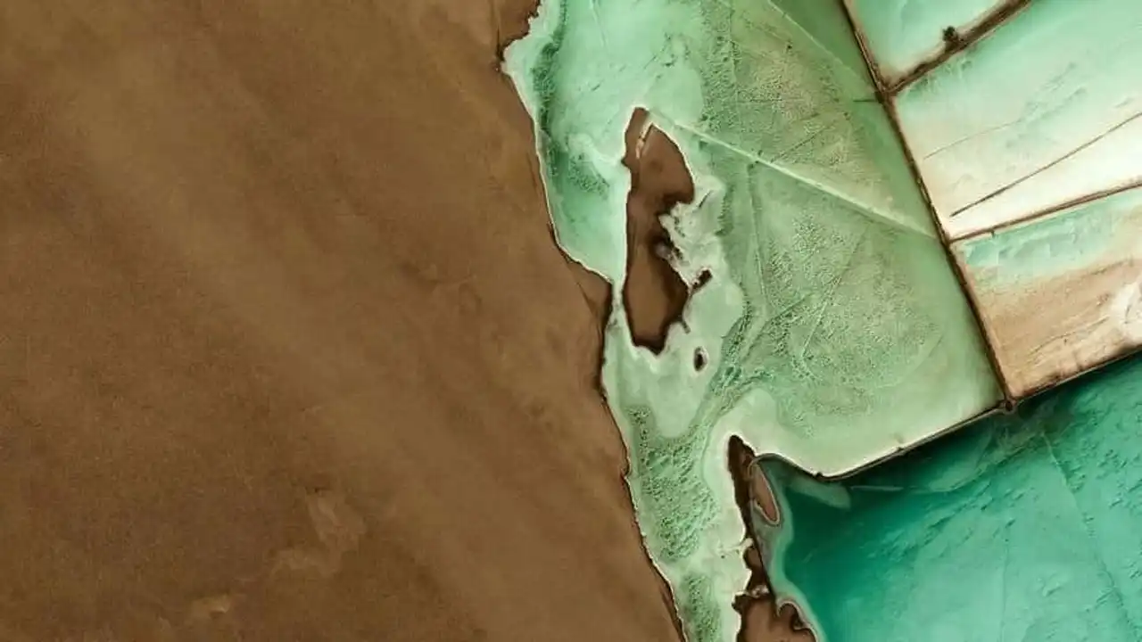
Photo credit: Google Earth
Al-Hassa, Saudi Arabia, and its natural oasis. 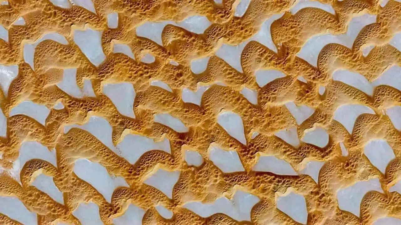
Photo credit: Google Earth
Olive plantations in Estepa, Spain. 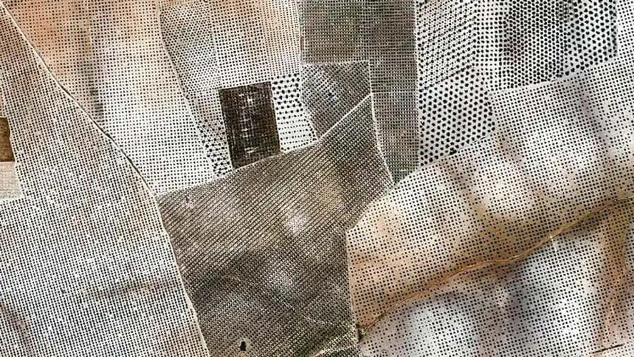
Photo credit: Google Earth
The island nation of Kiribati is composed of 33 atolls and reef islands. 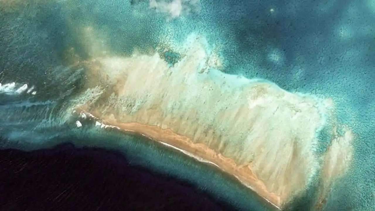
Photo credit: Google Earth
Mansel Island is an uninhabited island of the Canadian Arctic archipelago and is home to a reindeer reserve. 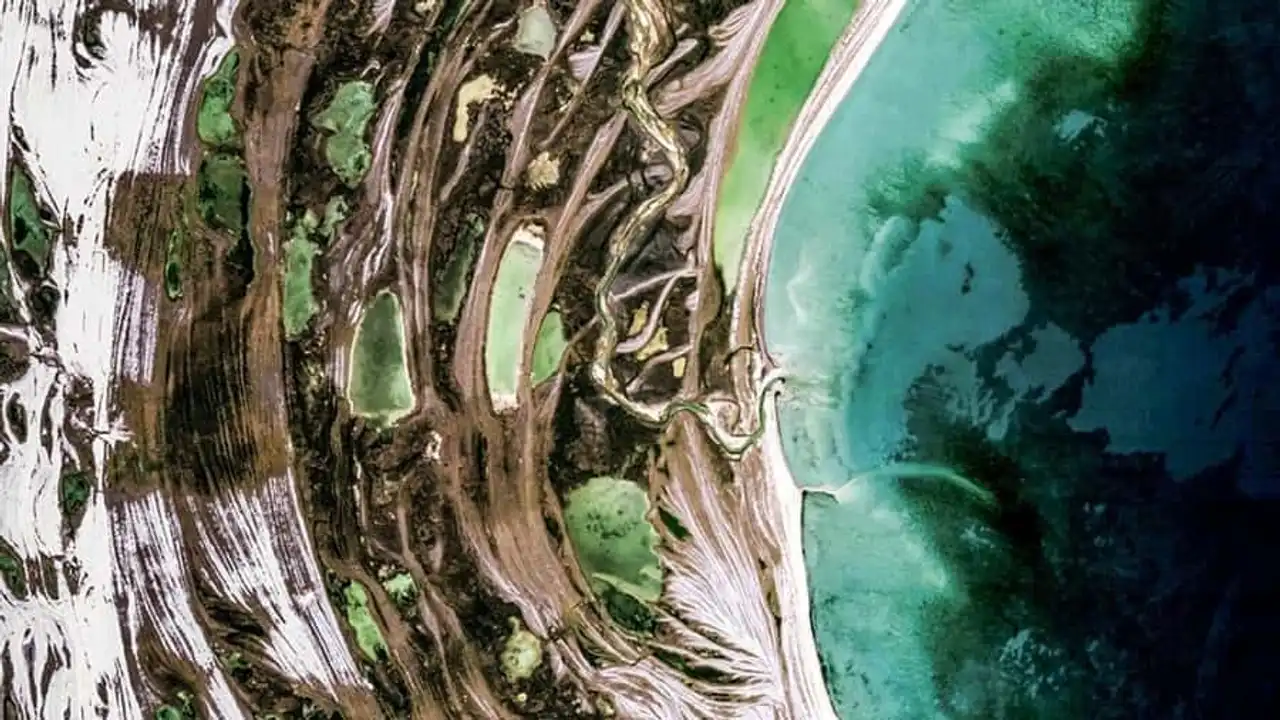
Photo credit: Google Earth
Andamooka is a city of the Australian outback, 600 km from Adelaide, known for its opal mines. 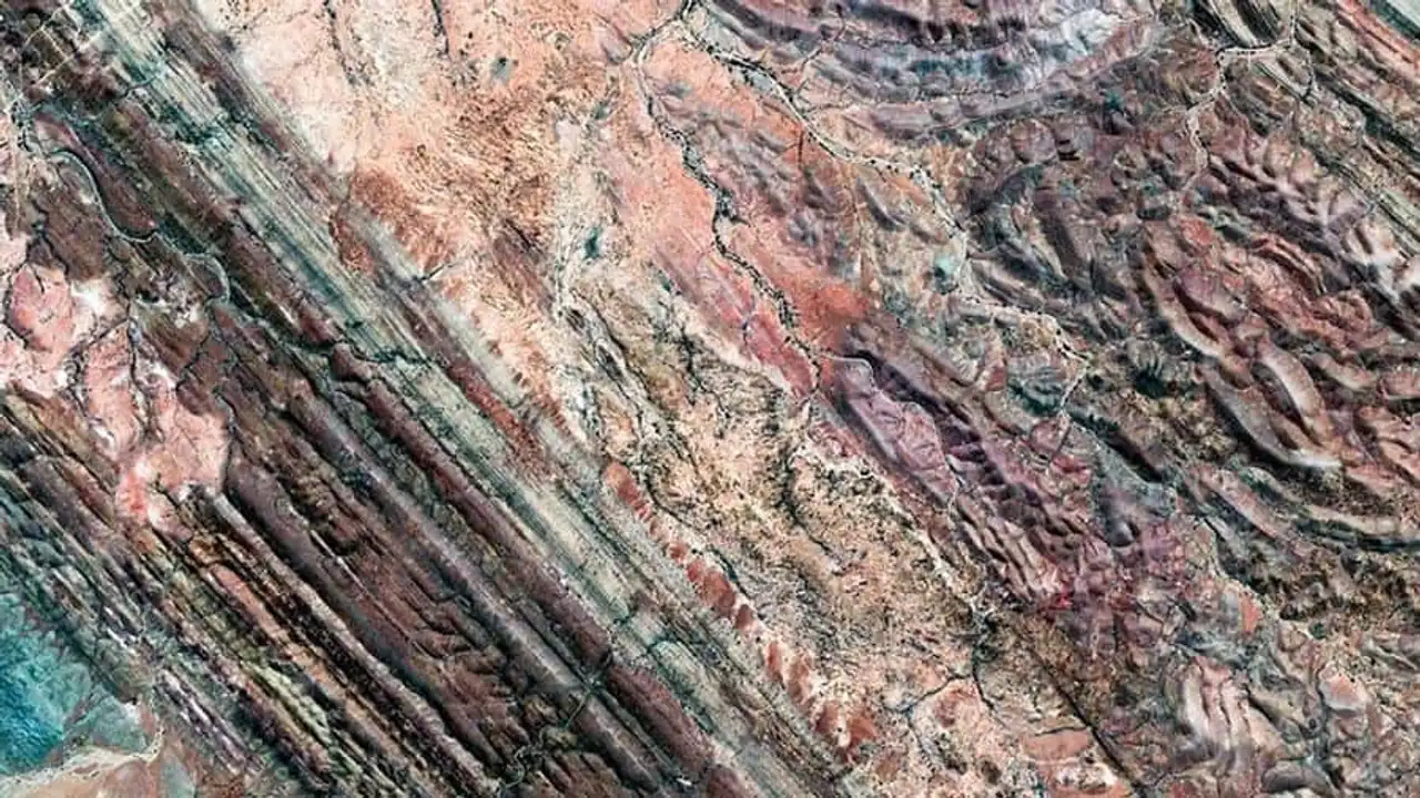
Photo credit: Google Earth
Lake Baskountchak is a salty lake of the Astrakhan Oblast in Russia. 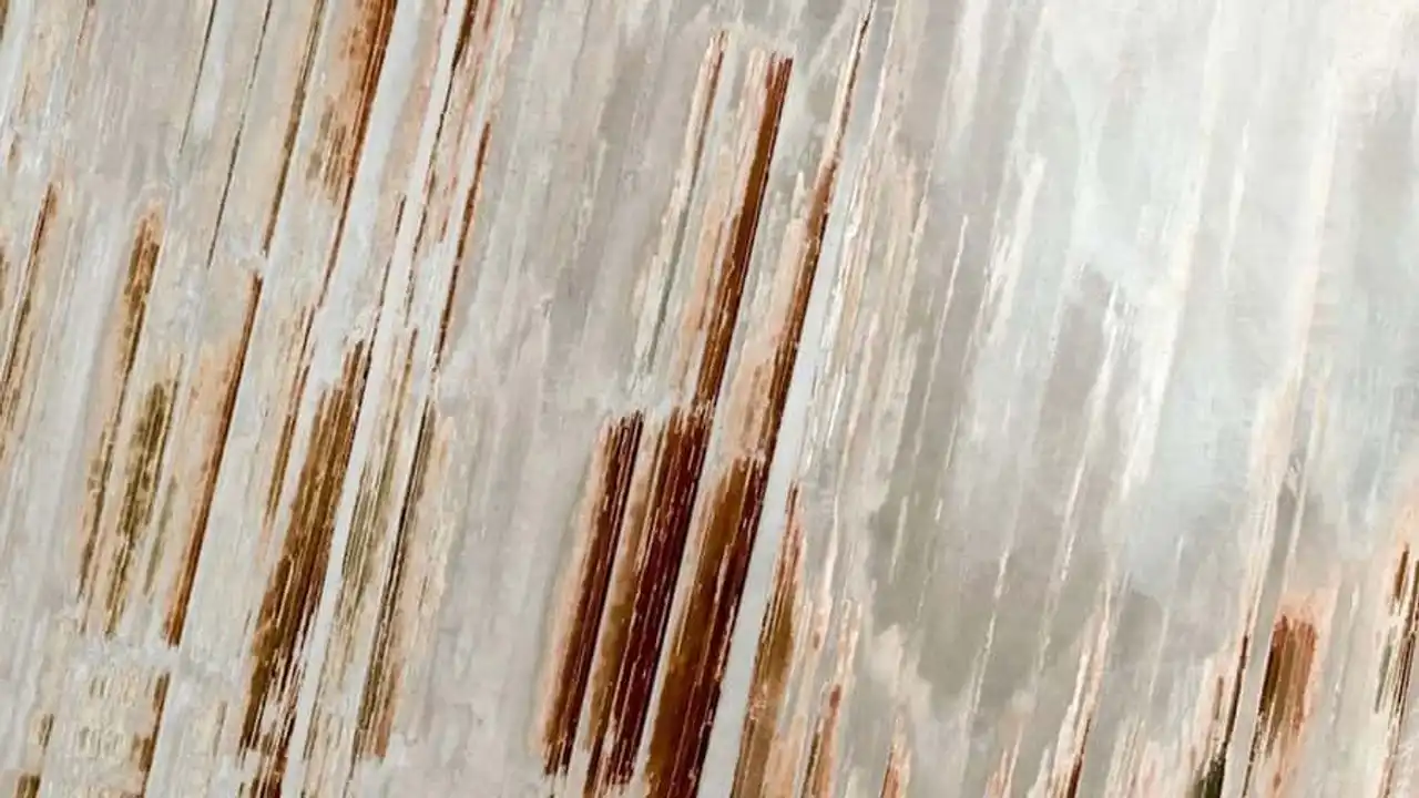
Photo credit: Google Earth
A landscape in Nor Lípez province. 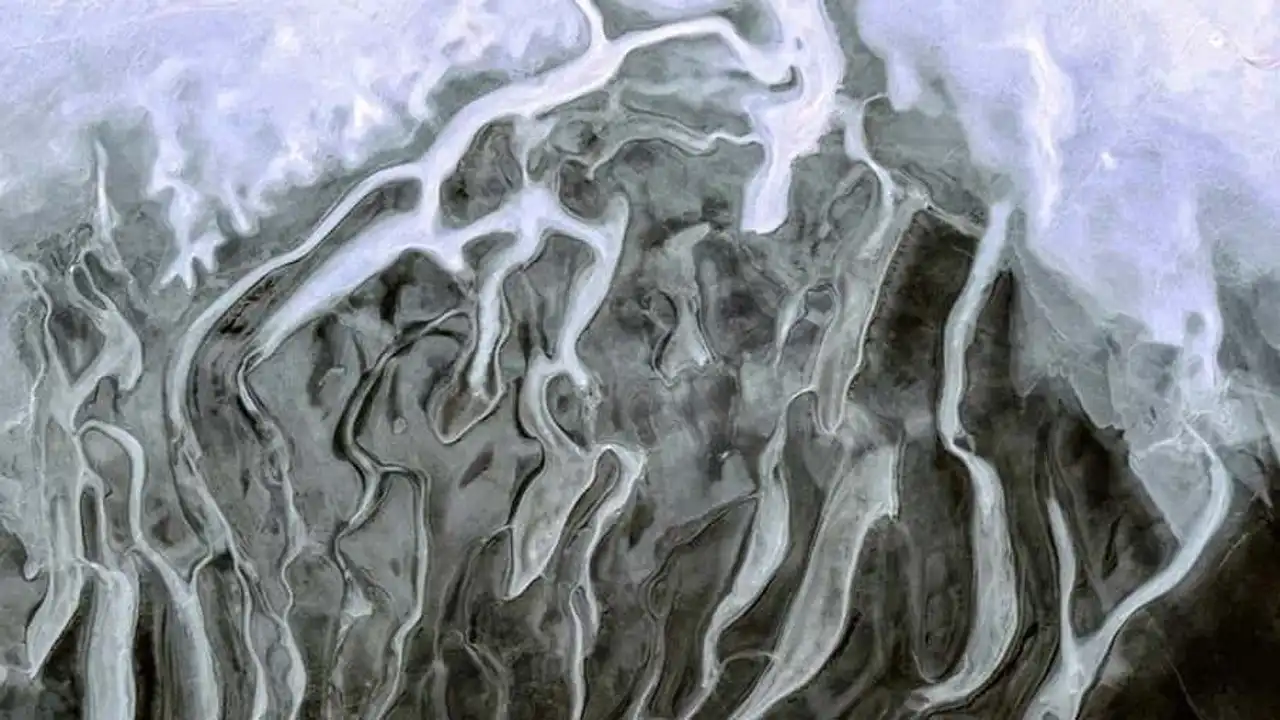
Photo credit: Google Earth
Repeated on BBC



Loading comments ...