To discover Malta, there is nothing better than hiking: cross the islands of Malta, Gozo, and Comino, following the best Maltese trails.
With relatively small dimensions, and unreasonable reliefs, hikes in Malta do not have a major technical difficulty. Even if some trails sometimes give way too much to motorized gear, the walk offers you the possibility to discover the island, or the islands more exactly (the archipelago consists of Malta, Gozo and Comino in order of magnitude), totally at your own pace.
Finally, beyond the denial and walking time, it is the warmth that you will have to be most distrusted by hiking in Malta. Indeed, we are in the south of the Mediterranean, and mercury climbs up in the summer season.
Malta, with its shaved and dry landscapes, does not offer a lot of breaks in the shade on the trails! Spring and back-season (September to October) are therefore the periods of predilection of hikers, while in summer it will be necessary to provide water and protect you from the sun. Feel free to adapt your walking schedules and itineraries to your abilities, and to the weather of the day.
1. At the top of the Falaises de Dingli
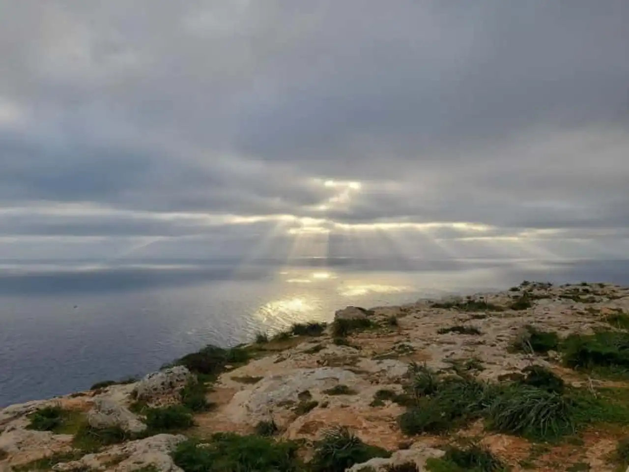
Photo credit: Alltrails
- Duration : about 2h45
- Distance 9.3 km
- Denivelé 187 m
- Difficulty : easy
- See the hiking trail
The reliefs of Malta are created by the tectonic encounter between African and European plaques. It is in Dingli, with its high layered limestone cliffs almost 250m high, that Maltese geology displays its most spectacular forms. An ideal terrain for hiking in Malta, while imbuing magnificent views of the Mediterranean. West Oriented, the Dingli Falaises are also a renowned spot to enjoy sunset!
You know what you have to do: enjoy this easy hike at the end of the day, to finish it at dusk.
2. Discovery of the Coral Lagoon of Mellieha
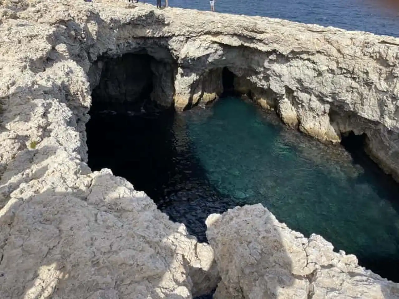
Photo credit: Alltrails
- Duration : about 3h
- Distance 10.5 km
- Denivelé 130 m
- Difficulty : easy
- See the hiking trail
For this hike in Malta with large coastal dominating, plan in your backpacks towels and bathing suits, as several beach stops are on the program of walking. You await the sandy beaches of Little Armier and White Tower, but also some spectacular underwater caves. The highlight of the show during this route: the Coral Lagoon, whose circular hole is easily visible on your GPS card.
The ceiling of this cave with clear blue waters having collapsed by the top, it is possible to plunge inside (a jump of 7m anyway!), but also to access it more easily. Going back on foot allows you to escape from the tourist boats that came deposited the curious directly on site.
3. Swipe the north coast of Gozo
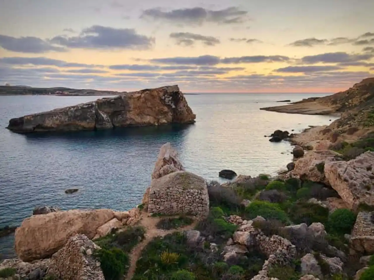
Photo credit: Alltrails
- Duration : about 3h50
- Distance 13.7 km
- Denivelé 181 m
- Difficulty Average
- See the hiking trail
Direction la charming Gozo for this beautiful hike in Malta. A ferry connects the two islands on a regular basis, so it is possible to leave the day, even if staying directly in Gozo is especially recommended for hiking enthusiasts.
Here, the trail starts at Marsalforn, a station that has the wind in the stern, and follows the coastline to Mgarr and its port, passing through the pretty bay of Ramla. This makes it a beautiful piece of the north coast of Gozo, a natural itinerary that crosses still wild, increasingly rare areas in Malta.
4. The complete tour of Comino
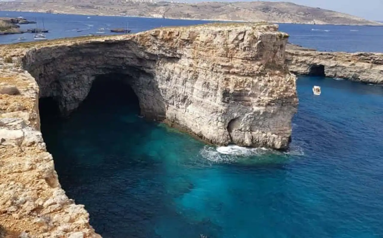
Photo credit: Alltrails
- Duration : about 2h50
- Distance 10 km
- Denivelé : 129 m
- Difficulty : easy
- See the hiking trail
Comino is the least known of the Maltese islands, but also the smallest and most endearing. It has ideal dimensions for hiking in circular Malta and a beautiful loop interspersed with bathing in blue and transparent waters, like the Blue Lagoon, a must-see stage.
Turning around Comino takes about 4h in total, adding the jumps in the water, count a nice day out. A boat trip is necessary to reach the island, but as the walking route makes the whole tour of Comino, regardless of your starting point.
5. Exploration of the Majjistral Nature and History Park
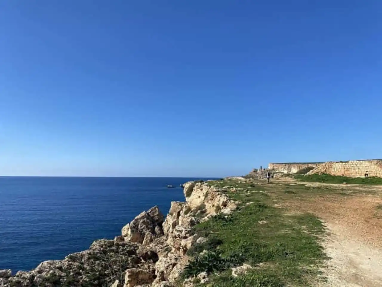
Photo credit: Alltrails
- Duration : about 1h50
- Distance 6 km
- Denivelé 126 m
- Difficulty : easy
- See the hiking trail
This easy little hike in Malta starts at Golden Beach, a sandy beach in the west of the island, nice for swimming but very busy. It will therefore be with pleasure that the walkers will escape through the trail to reach the Majjistral Nature and History Park, a coastal nature reserve through several trails.
The route, without difficulty, allows you to take the cliffs for a while to reach the tower of Ghajn Znuber, historical curiosity of the corner, before you find your starting point by making a loop.
6. Zebbug coastal march to the former French Window in Gozo
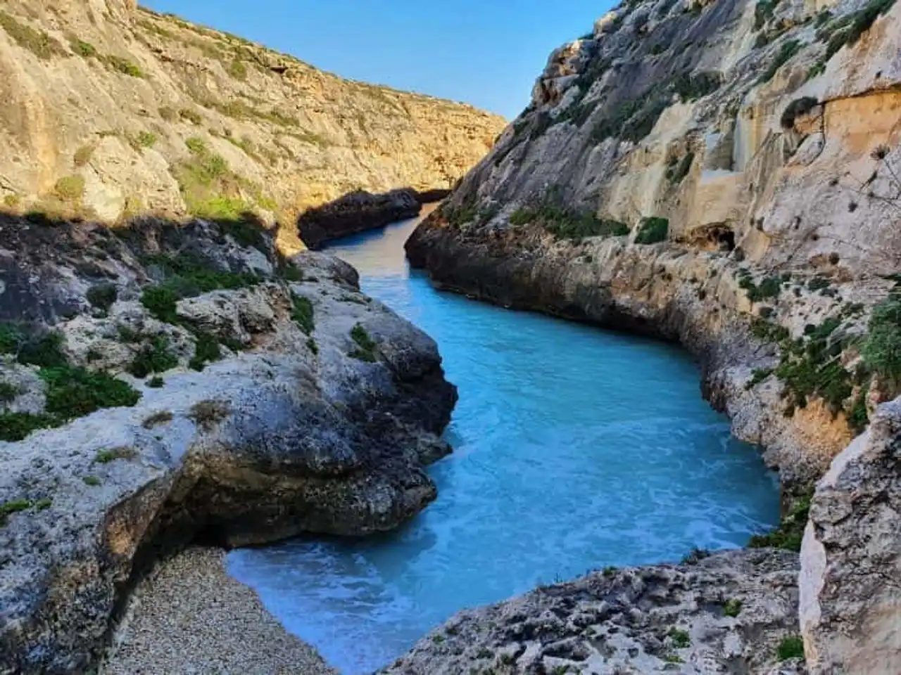
Photo credit: Alltrails
- Duration : about 3h
- Distance 13 km
- Denivelé 237 m
- Difficulty Average
- See the hiking trail
Back to Gozo, from Zebbug, for this route that runs along the sea in almost all. A series of beautiful marine landscapes, with cliffs and coves (specially for Wied Il-Ghasri), before reaching the site that has long remained the symbol of Malta: the French Fenêtre.
This famous limestone arch collapsed in 2017 and is no longer, but the site where this hike ends in Malta remains of great beauty, with cliffs and waves, the surprising Fungus Rock, the mysterious Blue Hole and Dwejra Bay.
7. The pretty bay of Ghar Lapsi
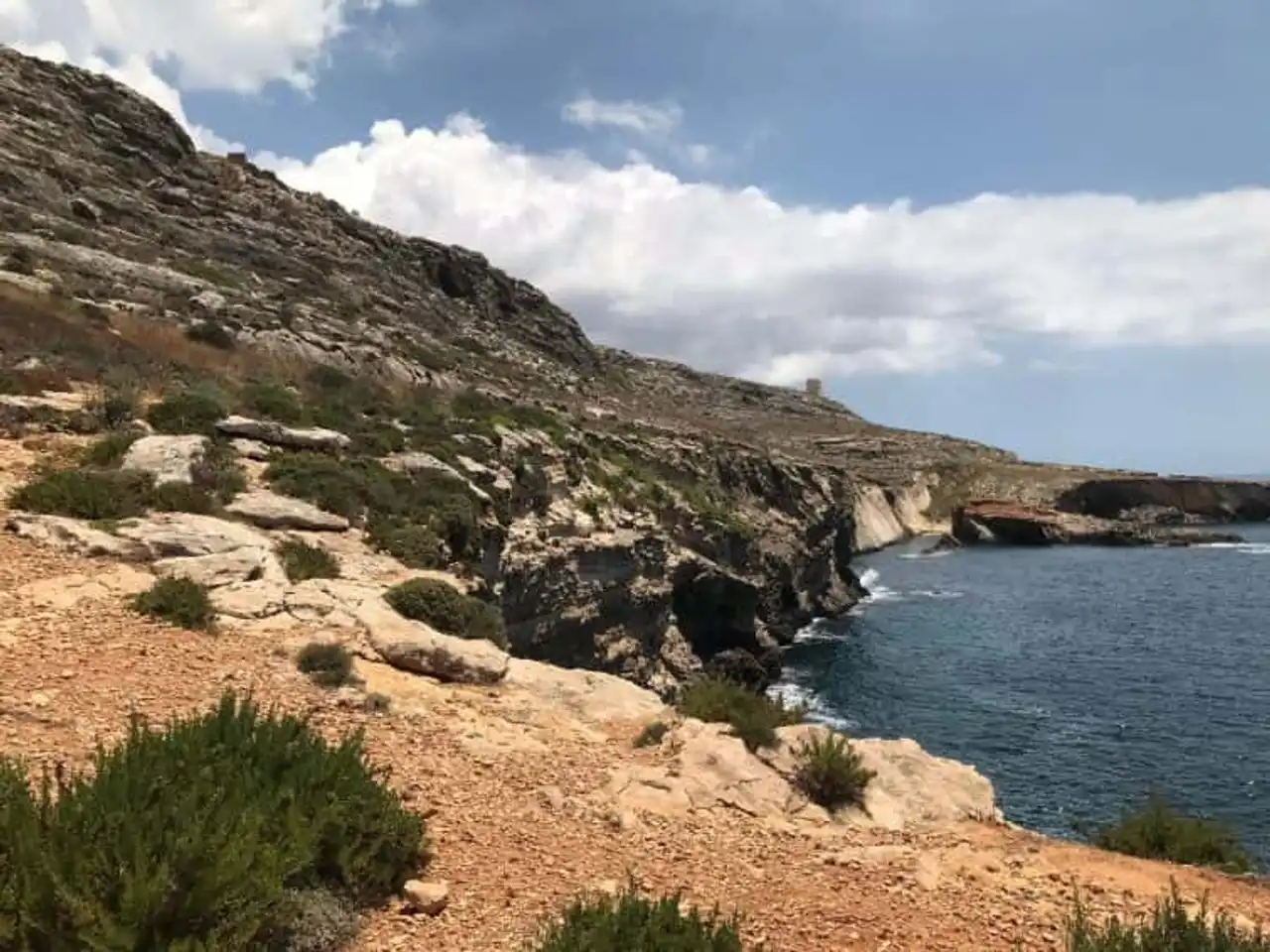
Photo credit: Alltrails
- Duration : about 1h
- Distance 4 km
- Denivelé 187 m
- Difficulty : easy
- See the hiking trail
This hike in Malta begins in Ghar Lapsi, a cove built in a natural swimming pool, in a spirit one can no longer Mediterranean! The trail then ventures on the edge of the cliffs that characterize the western face of Malta, in a landscape that is both arid and wild, on the background of azur. We're looking at it...
The curious will not hesitate to get out of the route to crochet by the archaeological site of Mnajdra, close to the itinerary. You will discover a complex of megalithic temples among the oldest in Europe, whose existence dates back to the fourth millennium before our era!
8. The wild cliffs in Ir-Rabat
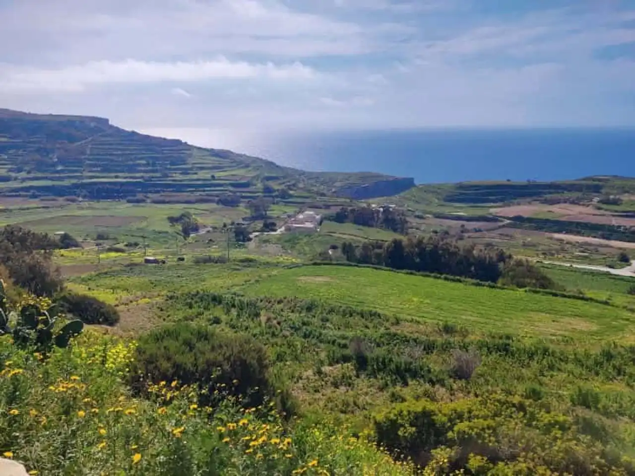
Photo credit: Alltrails
- Duration : about 2h20
- Distance 6.9 km
- Denivelé : 261 m
- Difficulty Average
- See the hiking trail
If Dingli’s site, which is very well known, still attracts many people, other coastal cliffs offer excellent hiking grounds in Malta, as here in the vicinity of Ir-Rabat.
With a bit of denivelé, rocky but well traced, this looped route perfectly represents what it is possible to discover by hiking in Malta. Out of the beaten paths, away from the crowd, you enjoy all along various magnificent views of the island and the sea, through arid landscapes, sprinkled with shaved but fragrant vegetation, typical of the Mediterranean.
9. From Sliema to La Valette by the seafront
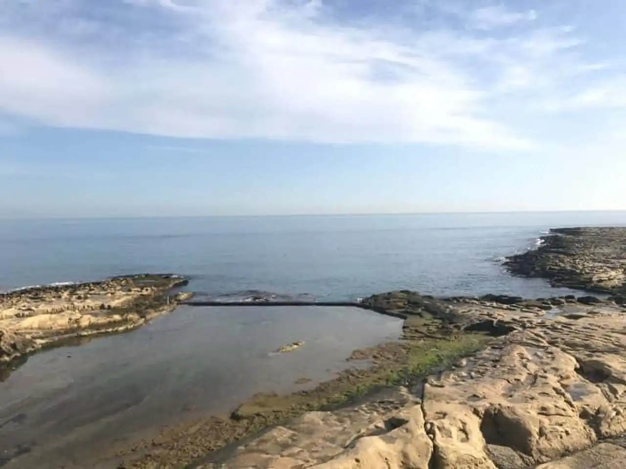
Photo credit: Alltrails
- Duration : about 3h
- Distance 10.8 km
- Denivelé 99 m
- Difficulty : easy
- See the hiking trail
A hike in Malta, or more exactly a long walk in Malta: with this itinerary, we completely change the register with an urban dominant walk, on the east coast, the most built of the island. There's no need for rando shoes, everything's going on hard!
The goal, starting from Sliema, is to reach La Valette, the capital, following the pleasant seafront: it is the residential and tourist area of the island, the current course of the Maltese lifestyle. A superb view awaits you at the foot of La Valette, that it is possible to reach by ferry (or by bus) to conclude this nice ride.
10. The Victoria Lines Trail, crossed from Bahrija to Pembroke
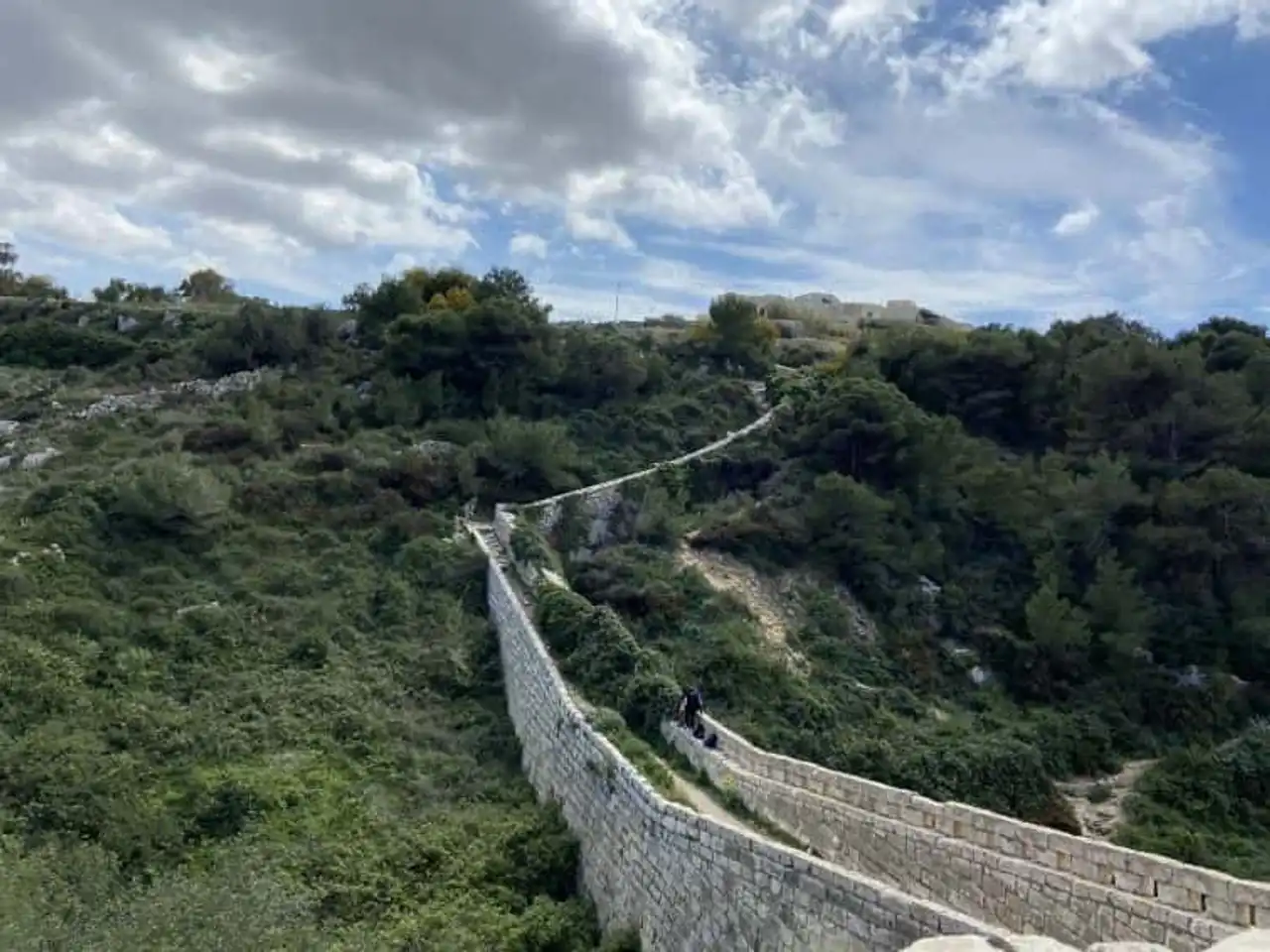
Photo credit: Alltrails
- Duration : about 7am
- Distance 24 km
- Denivelé 422 m
- Difficulty difficult:
- See the hiking trail
Hiking in Malta can also take the form of a longer and demanding route, like the Victoria Lines Trail. This route offers you to cross the island from the beginning of Bahrija and to Pembroke in the agglomeration of La Valette, passing through Mosta and its famous dome. You follow a line of old fortifications classified by Unesco, the Victoria Lines.
Careful, more difficult in terms of kilometers and trail tracking, this hike is for the enduring hikers.
11. The hills of Gozo
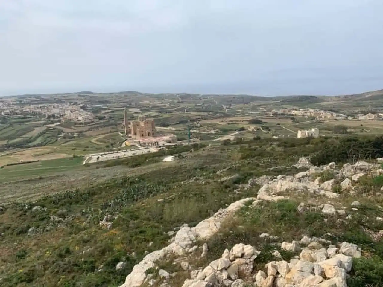
Photo credit: Alltrails
- Duration : about 6:15
- Distance 19.6 km
- Denivelé 605 m
- Difficulty difficult:
- See the hiking trail
In the heart of Gozo, the fortified city of Rabat is a forced passage on the island. It is also the opportunity to walk for a beautiful hike in Malta, to discover the hills of Gozo. You will discover a well hilly itinerary, which ultimately accumulates a respectable denial, and quite a few kilometers. Get ready!
The efforts are largely rewarded by various points of view, the beauty of the landscapes, and the tranquility of the Gozo countryside. A real dive in the intimacy of the island.





Loading comments ...