Go to the mountain side by discovering the most beautiful hikes to do in Haute-Savoie!
Welcome to Haute-Savoie! This mountain department adjacent to the Italy and Switzerland is one of the jewels of our natural heritage. Co-chair of the roof of Europe, the Mont Blanc and its 4,810 meters offers visitors a wide variety of landscapes!
Here it is for all tastes: sparkling lakes, green pastures, majestic forests, mineral summits or encaissé valleys punctuate the high-savoyard territory.
To get to know for yourself, Wanderlix offers you a selection of the most beautiful hikes to do in Haute-Savoie. Family, air, sport or bucolic: who will convince you to wear your boots?
1. Boucle de la cascade d’Angon
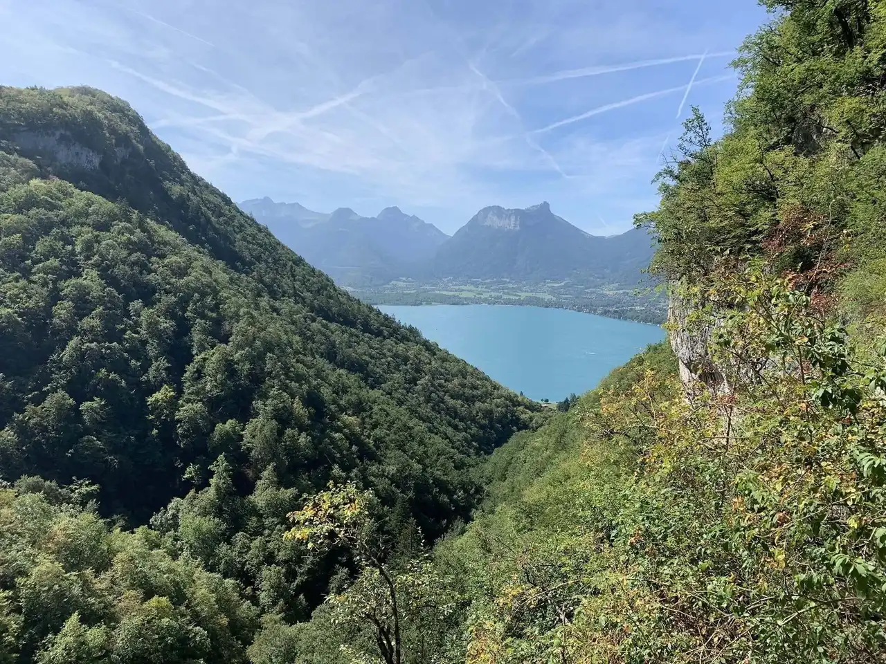
Photo credit: Alltrails
Duration : less than an hour
Distance 3.7 km
Denivelé 299 m
Difficulty Average
See the hiking trail
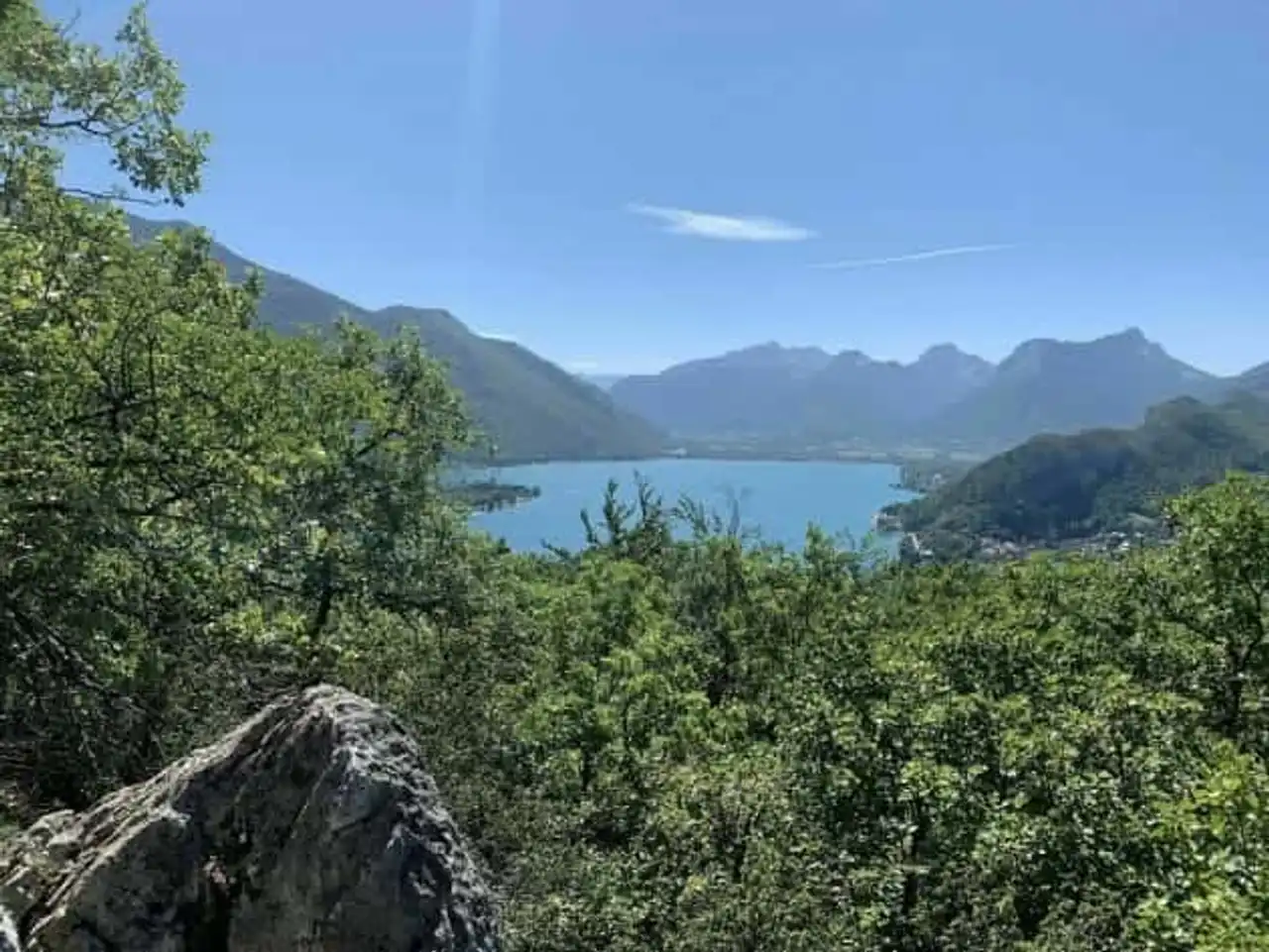
To start this selection, we have chosen a safe value among the hikes in Haute-Savoie! This hiking tour departs from the shores of Lake Annecy . It crosses shady undergrowth tower, meadows and small picturesque villages.
Your itinerary starts with a forest climb... Great, it'll be the only one! You will have the opportunity to admire beautiful views of the lake and the Lanfon Dents. In summer, the shadow will calm the heat of the sun. She will be helped by the freshness of the Angon waterfall, the star of the ride. A trail will lead you to this spectacular waterfall.
Attention, during the summer weekends, attendance can be strong. Our advice? Prefer autumn to appreciate the sublime colors of the surrounding forests.
2. La Tournette via the path of the Col de l’Aulp
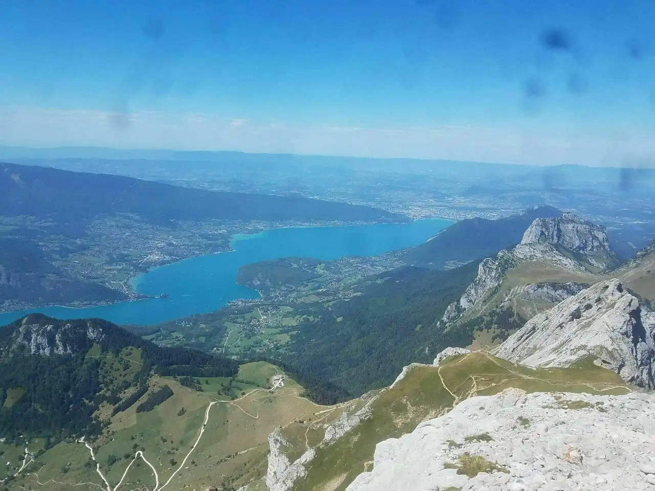
Photo credit: Alltrails
Duration 5h
Distance 10.1 km
Denivelé 1 180 m
Difficulty : Difficult
See the hiking trail
The Bornes massif is full of sumptuous natural sites. Why don't you go to Montmin? There is a sublime hike in Haute-Savoie. Its course begins at the Prés Rond and climbs the summit of La Tournette. It is named the throne of Annecy: it is the highest mountain adjacent to the city!
To get there you will cross beautiful rocky areas requiring good upright shoes. Some dizzy parts promise beautiful air sensations to the top. The view is then spectacular: the brightness of the sunny Annecy Lake would almost jealously make Mont Blanc, far east...
3. Boucle du Lac Vert depuis Plaine Joux
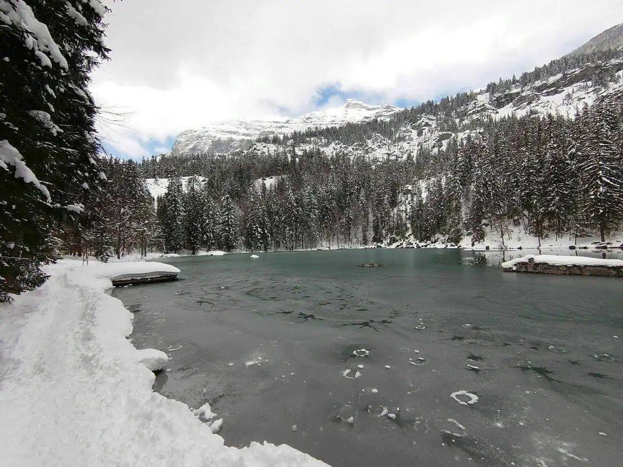
Photo credit: Alltrails
Duration 2 hours
Distance 6.6 km
Denivelé : 347 m
Difficulty Average
See the hiking trail
This hike in Haute-Savoie is for a wide audience due to its ease. It aims to lead you to the Green Lake (which for the anecdote is part of the Kaamelott series decors). The trail lies on the foothills of the Fiz rocks, above the town of Passy.
In all seasons but especially in the spring, you will have the chance to contemplate the Mont Blanc massif, which is 20 kilometres away. This classified natural site (it is forbidden to swim in the lake) will be perfect for an invigorating picnic. Have a local farmer reblochon, a pure delight!
4. Silver Needle
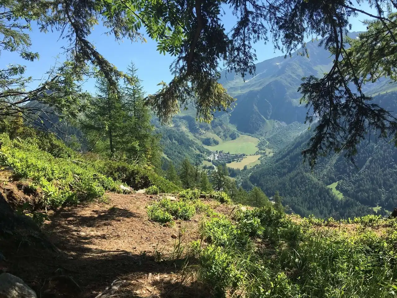
Photo credit: Alltrails
Duration 2 hours
Distance 4.7 km
Denivelé 466 m
Difficulty : Difficult
See the hiking trail
Argentière is a commune located near Chamonix . The nature reserve of the Red Aiguilles is a jewel of the area: it falls well, this hike in Haute-Savoie the crossing.
The route is confused with the GR du Tour du Mont-Blanc. L’Aiguillette d’Argentière is a remarkable mountainous site... But air. Delicate passages, ferrilized portions and dizzying paths forbid it to sensitive souls.
For others, what a show offered by this mineral itinerary! As you go, watch the narrow valley of Chamonix, which stretches on both sides at the foot of the majestic Mont Blanc. Moreover we encourage you to discover this cradle of mountaineering if this experience has pleased you!
5. The circus of Fer-à-Cheval
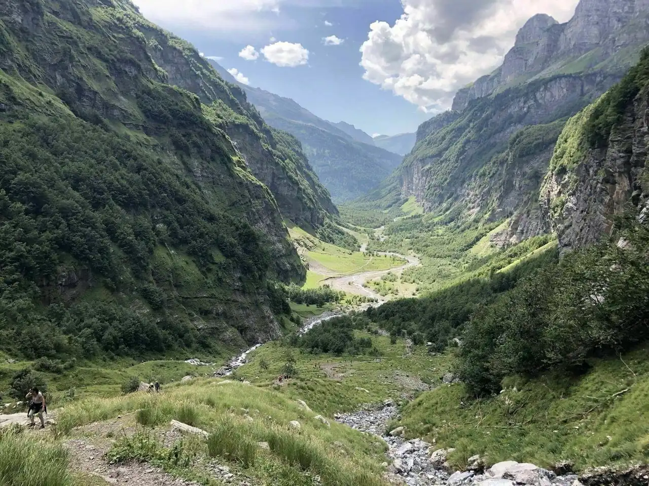
Photo credit: Alltrails
Duration 2h45
Distance 10.6 km
Denivelé 616 m
Difficulty Average
See the hiking trail
This hike in Haute-Savoie takes place in the Giffre Valley near the town of Sixt-Fer-à-Cheval. The route starts under the cliffs of Cirque du Fer-à-Cheval (called as a result of their semi-circle form). Some measure about 700 meters high!
Well marked, the path, quite physically demanding, runs along the giffre torrent. You'll cross it at the Giffrenant Bridge and reach the "Word of the World".
This place means the place or springs the cascades at the origin of the torrent. There are about 30 in the spring, when the snow melts. In the summer some of them allow a swim... More refreshing!
6. The Black Head Cross
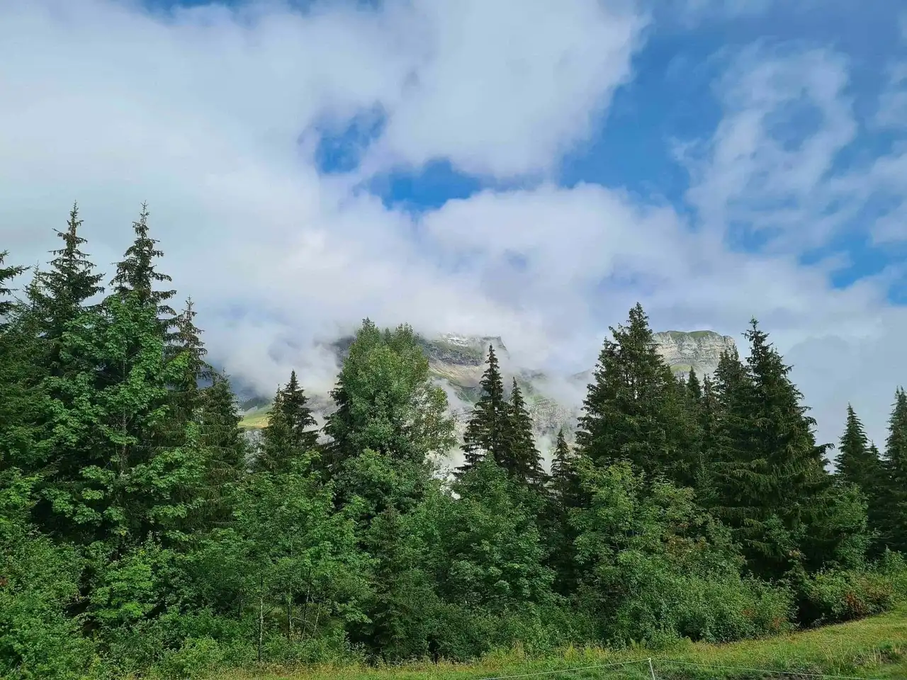
Photo credit: Alltrails
Duration 1h50
Distance : 6.3 km
Denivelé 515 m
Difficulty : Difficult
See the hiking trail
Cordon is nicknamed the balcony of Mont Blanc. Facing the latter, the village offers a hike in Haute-Savoie both steep and short. Your journey starts on winding paths through the coniferous forest.
You will come out to discover beautiful alpages that, in the summer, belong only to cows. Turn around: amazing view! Owned to the chain des Aravis , the Fiz rocks pierce the sky on your left. Below, the Arve valley spreads all along.
And in front, unmistakable, it is the Mont-Blanc massif that makes you...
7. Jettaz wood at Mount Veyrier
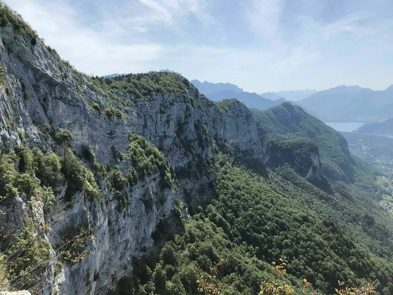
Photo credit: Alltrails
Duration 2h20
Distance 8.5 km
Denivelé 874 m
Difficulty : Difficult
See the hiking trail
We have chosen a most bucolic forest route: you will have to follow the peaks of Mont Veyrier. Why? To enjoy one of the most beautiful views of the region, let’s see!
You will cross the pass of the Pre Vernet and then climb the pass of the Sauts by following a lizard path in the forest. Its relative ease (the descent can be slippery, also think of water in the summer!) attracts many walkers. The summit is not farther, you get out of the forest trail and... Lake Annecy suddenly deploys.
You can also contemplate the majesty of Mount Baron, nearby. Considered as the balcony of the Haute-Savoie prefecture, Mount Veyrier is more welcoming in the spring.
8. Lake Benit loop
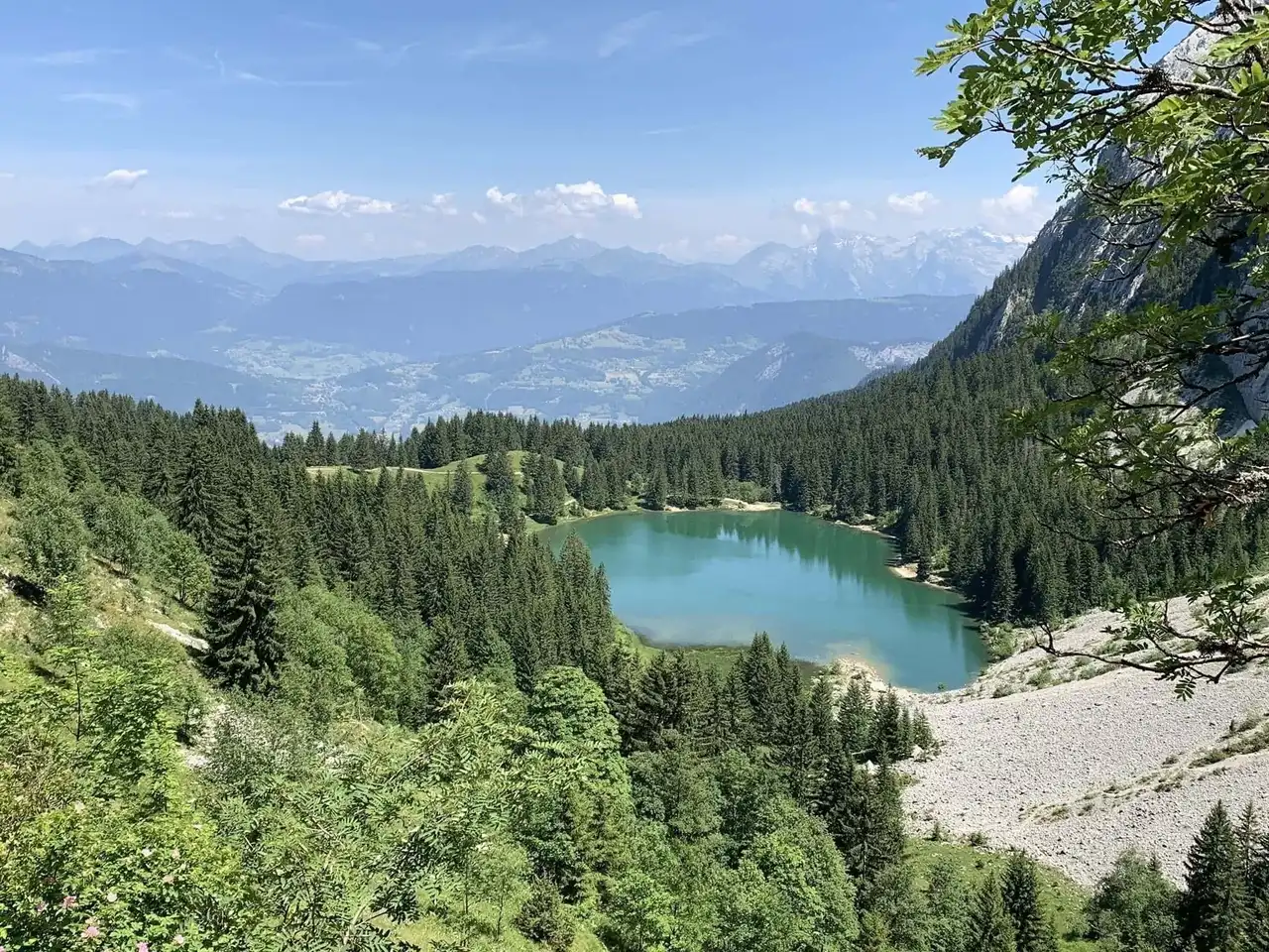
Photo credit: Alltrails
Duration 1h45
Distance : 6.4 km
Denivelé 442 m
Difficulty : Difficult
See the hiking trail
With your family, this route will make you discover the surroundings of Mont-Saxonnex. First, you have to reach the lake, located at the foot of the Bargy chain, by walking through wide paths. In fact, you're driving the ski slopes!
The climb continues in the pastures and then leads quite quickly to the lake that you will overlook when arriving. Once there, dominated by impressive limestone cliffs, the walkers will only have to turn back to admire an incredible view of the valley!
9. Lake Gers from Samoëns
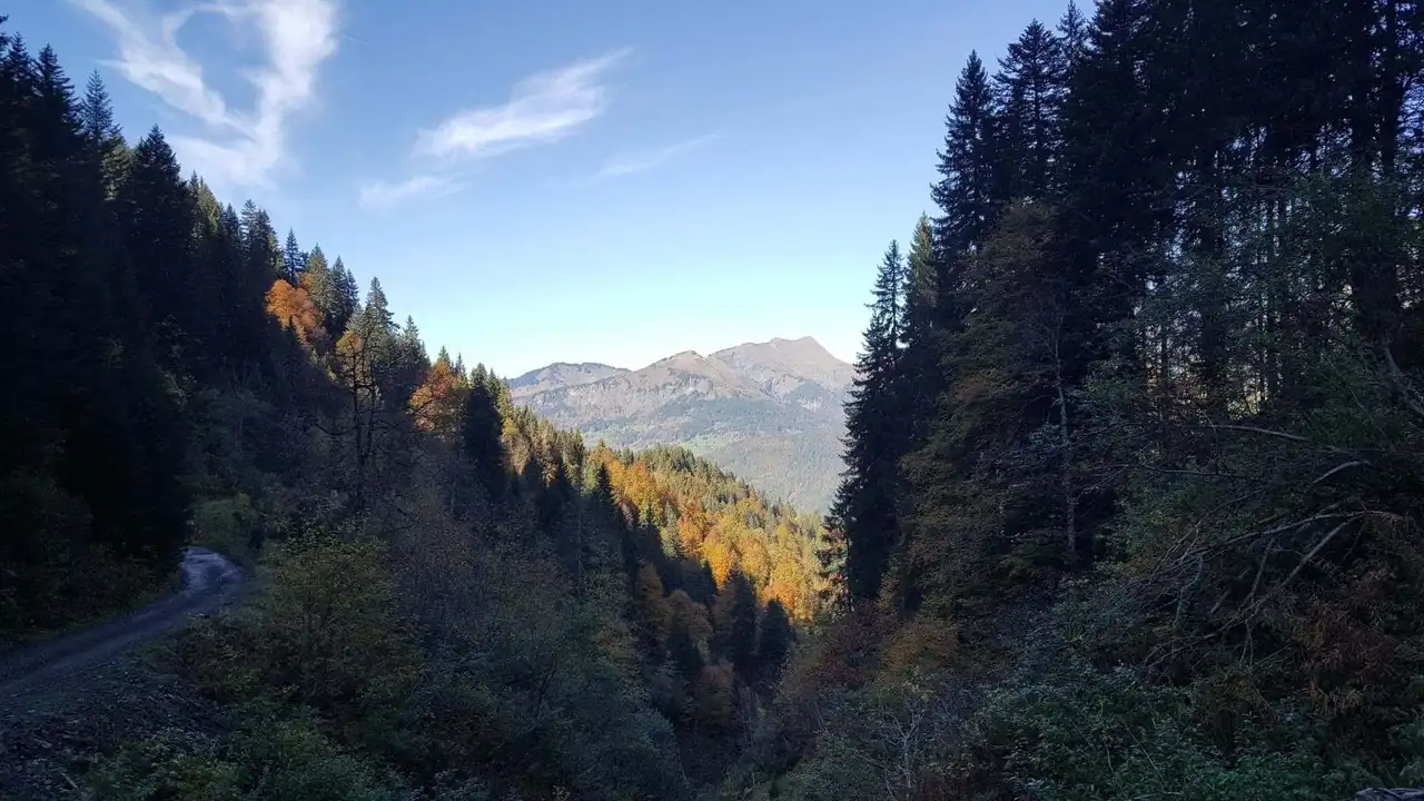
Photo credit: Alltrails
Duration 2h40
Distance 12.1 km
Denivelé 500 m
Difficulty Average
See the hiking trail
Samoëns is known for his family ski resort in the heart of the Giffre massif. Lake Gers from the town is a very pleasant hike in the summer of Haute-Savoie. During the hot summer days of the freshness felt on the forest trail leading there.
Following your arrival at the Combe de Gers, a bucolic alpine meadow, you can relax in the grass in the middle of a mountain setting that has been completely wild. The water is particularly fresh at 1,537 meters above sea level, but swimming in such a medium is much worth a few chills!
10. The trail of the rock of Chère
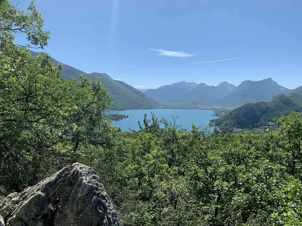
Photo credit: Alltrails
Duration 1h45
Distance 6.8 km
Denivelé : 294 m
Difficulty Average
See the hiking trail
Located in Charvines between Menthon-Saint-Bernard and Talloires, the Chère rock trail is a route overlooking Lake Annecy. Classified as a natural reserve in the 1990s, the place has nice undergrowth.
Richly marked and well shaded, it will attract walkers wishing to avoid sun bites in the summer... The course will cross the forest and then follow a golf course. You will have the opportunity to stretch by admiring beautiful views of the lake. The two mid-term viewers are here for that! This hike in Haute-Savoie is very pleasant and easy even in rainy weather.
11. Mont Charvin by the pass of the Porthets
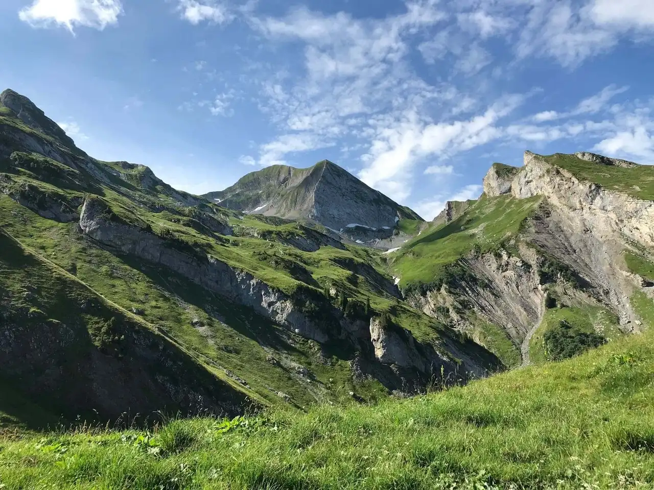
Photo credit: Alltrails
Duration 4h
Distance 13.4 km
Denivelé 1 333 m
Difficulty : Difficult
See the hiking trail
Here is a hike in Haute-Savoie sport and vertiginous for discerning hikers. After parking in the parking lot outside the hamlet of Tournance, the latter will attack the ascent of Mont Charvin.
The zigzague path through pastu alpages to Lake Mont Charvin. You can get there before you reach the pass of the Porthets and then the summit of Mont Charvin. From above, what a splendid view of Mont Blanc, the tip of Orsière and the Head of the Aulp!
12. Lac Blanc via the Flégère
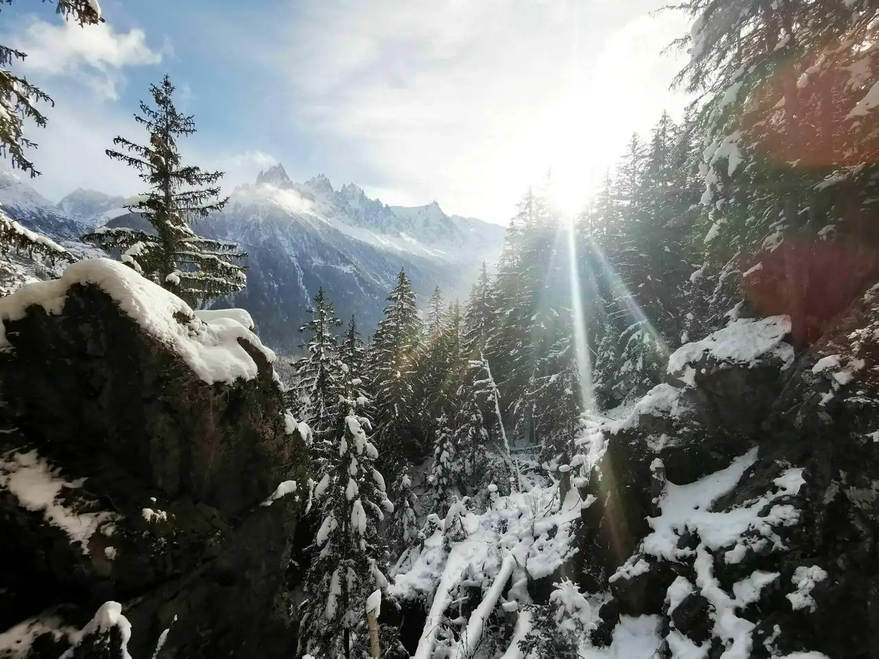
Photo credit: Alltrails
Duration 2h50
Distance 9.3 km
Denivelé 651 m
Difficulty Average
See the hiking trail
This hike in Haute-Savoie runs through the Chamonix Red Aiguilles Nature Reserve. The route starts at La Flègère from the Praz cable car. It crosses pierriers and cliffs to Lac Blanc, passes through the Aubuy Head to the Glière Index and finally goes back to Flégère.
Bouquetins, chamois and marmots are from the party in summer! This hike deserves but offers unique panoramas in the Alps. Good shoes, water in quantity and walking sticks are recommended!


Loading comments ...