In the heart of the Parc des Volcans d’Auvergne and the Central Massif are the department of Cantal and its mountains. Go on adventure with your shoes and discover its best hikes!
The department of Cantal enjoys many ways to be approached. Whether it’s cheese, hilly landscapes, volcanoes, mountains or park, everyone will always find something to marvel at.
It is located in the middle of the Central Massif, which makes it ideal for hiking enthusiasts. This is where we take you: from the mountain paths, breathtaking landscapes and green pastures where the Auvergne cows pasture.
So let's discover together what are the best hikes to do in the Cantal!
1. The Col d’Eylac, the Puy de Peyre Arse and the Puy Mary
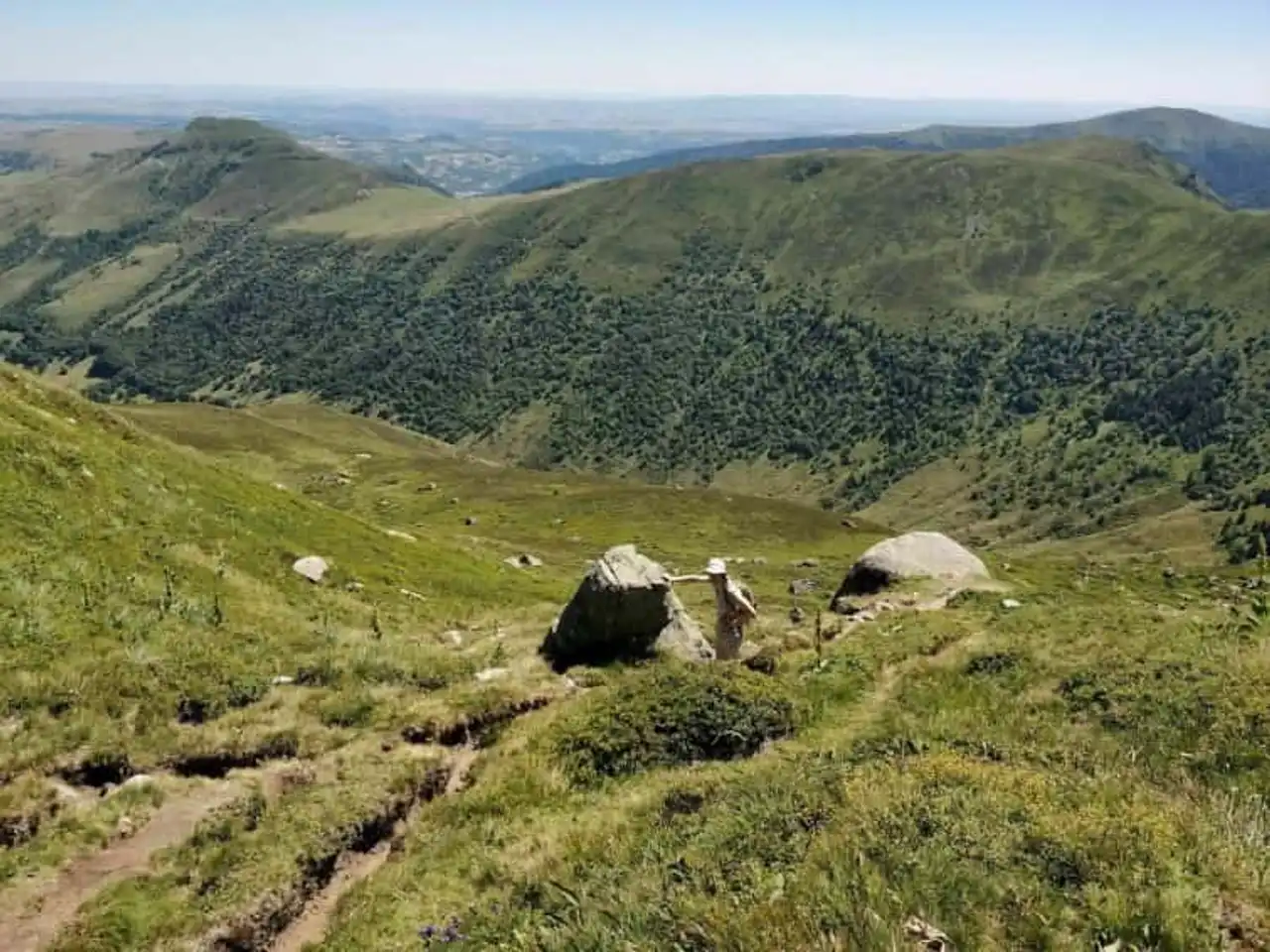
Photo credit: Alltrails
- Duration : about 3h20
- Distance 9.2 km
- Denivelé 599 m
- Difficulty Average
- See the hiking trail
Get high! The Cantal hikes allow it largely, thanks to its location in the heart of the Central Massif. To explore the Col d’Eylac, it’s close to 1,800 meters above sea level it will have to climb.
Of course, the moderate level of this hike confirms the soft ascent, especially since it starts at about 1,300 m. On the landscape, it is the horizon that stretches your arms, adorned with its most beautiful mountains and its wonderful valleys.
Above you, the flat immensity of the sky contrasts with the reliefs and greenery under your feet. You’ll be on the famous Puy Mary, as well as the Puy de Peyre Arse.
That said, no loss of balance in sight, these ridges are wide enough to ensure the passage of safe hikers.
2. The Tower of Puy Griou
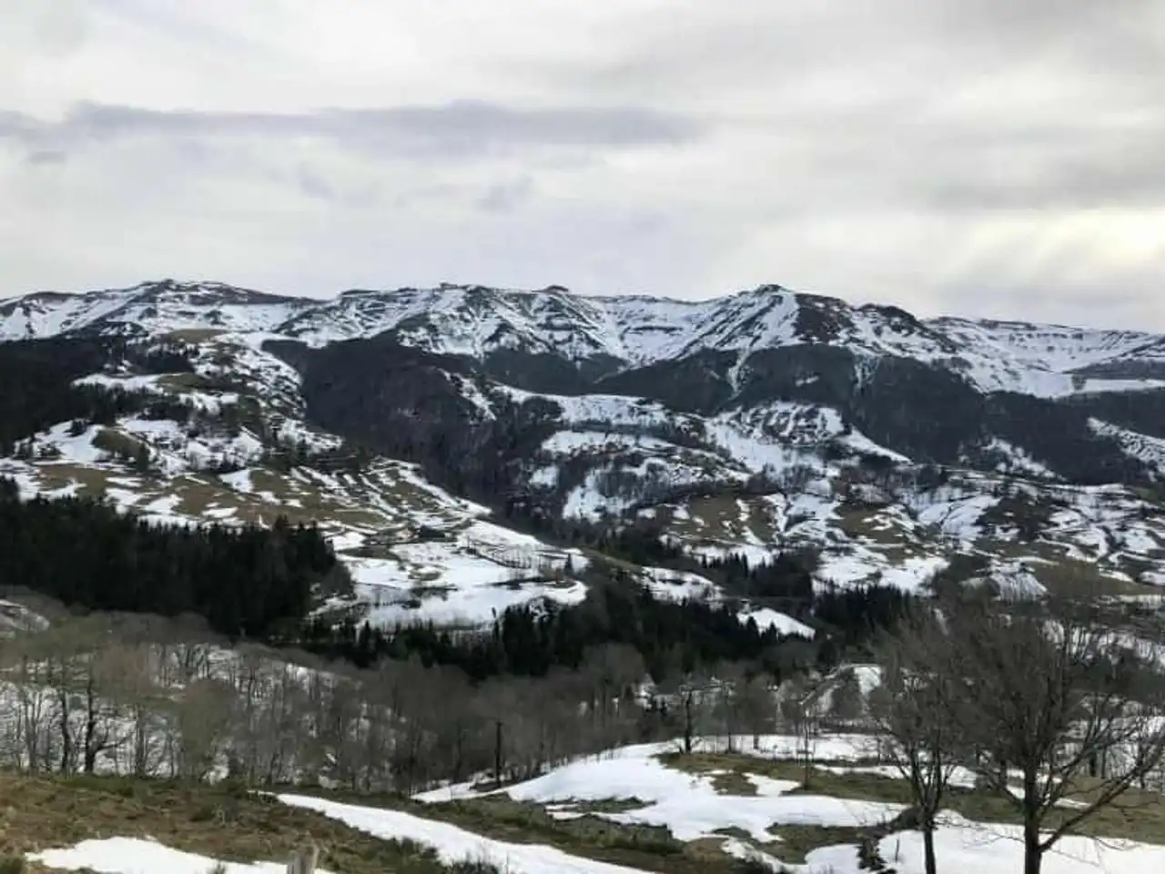
Photo credit: Alltrails
- Duration : about 3h15
- Distance 8.9 km
- Denivelé 460 m
- Difficulty Average
- See the hiking trail
The Puy Griou is one of the domes of the Central Massif that is very visited, because of the challenge it can represent. Moreover, his name comes from a local dialect, and means “unable to ascend”. However, the trails that lead to it are now adjusted to allow everyone to discover this puy.
At the start of Font-de-Cère, in the heart of the Auvergne Volcano Regional Natural Park, the ascent to Puy Griou begins on a suitable and accessible path.
Follow a few broad peaks, pass on paths through trees, everything is good for a communion with nature... Once at the top, an incredible panorama awaits you. Perched to 1,690 metres above sea level , this is all the horizon you embrace.
3. Albepierre and its waterfalls
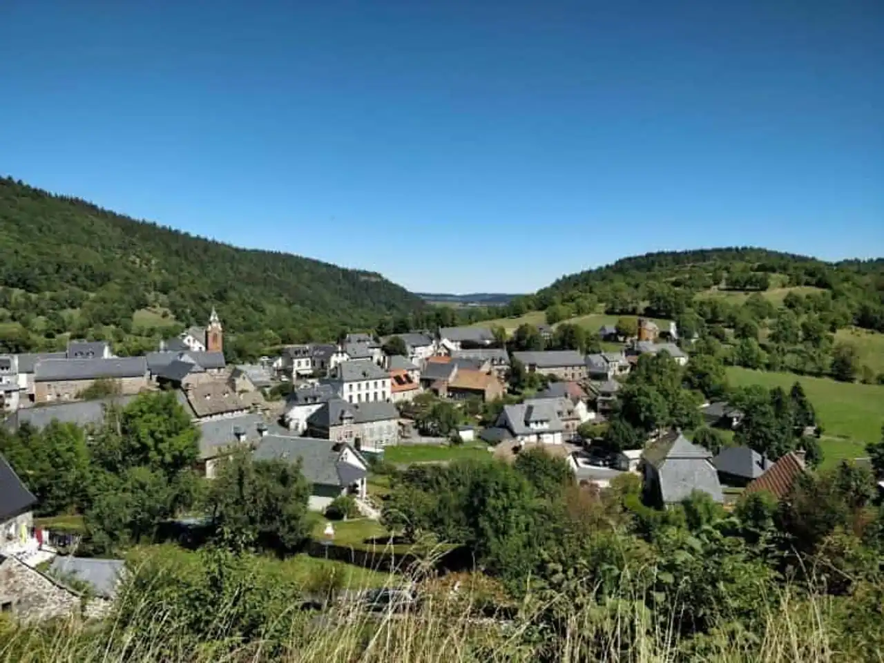
Photo credit: Alltrails
- Duration : about 3h30
- Distance 10.1 km
- Denivelé : 348 m
- Difficulty Average
- See the hiking trail
Albepierre is a pretty small village stuck between two valleys, close to the Lioran ski resort. But beyond the trails and descents full of chills, which we are interested in, are the cascades of the natural area of Albepierre.
By the south, discover a clear path through a dense forest, punctuated with cascades. Thus, the waterfalls of the Vergnes, Prapsou and Prés Longs await you patiently, spilling the water from the river Le Lagnon. It is the time to enjoy what cantalus nature has more beautiful to offer.
Small bonus for two wheel enthusiasts: it is possible to make this hike by bike , as long as it is equipped for the mountain.
4. The Col de Prat-de-Bouc and the Plomb du Cantal
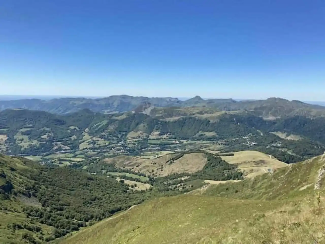
Photo credit: Alltrails
- Duration : about 2 hours
- Distance 7.9 km
- Denivelé 448 m
- Difficulty Average
- See the hiking trail
There are hikes from Cantal that offer a particularly panoramic view of the region. This is the case. By taking height, up to 1 855 metres To reach Plomb du Cantal from the Col de Prat-de-Bouc, you will have the opportunity to enjoy it.
By following the loop, you start climbing first, breaking the gap in front of you. During this ascension, you risk crossing cows of the Aubrac , typical of the region, that pass quietly in their fields.
Then, once in the Plomb, find a refuge that will allow you to raise yourself and mark a short break in your journey. But it is especially the opportunity to fully enjoy the view that offers to you.
Finally, the descent begins, the landscapes evolve but the cows are always present to animate the journey.
5. The Col de Pertus and the Col du Gliziou
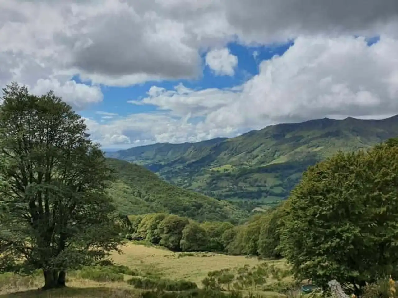
Photo credit: Alltrails
- Duration : about 4h
- Distance 12.4 km
- Denivelé 578 m
- Difficulty : Difficult
- See the hiking trail
At the heart of the Central Massif, a pretty loop in nature is about to marvel at you. Everything starts at the Col de Pertus, with a rather important climb before reaching a quieter path.
Direction Col du Gliziou, from which you will observe the Puy de l’Usclade on the left and of course, the Puy Gliziou straight ahead. You will then go to Liadouze then Larmandie where we recommend a little break.
Indeed, the last quarter of the Cantal hikes often ask one last effort , like here, where the denial rises again. Throughout the path you can see beautiful views of the surrounding valleys, through the very many trees of the forest.
6. The trail of the Cascade du Biaguin
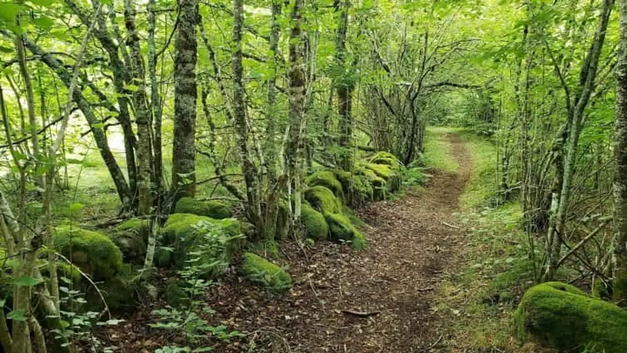
Photo credit: Alltrails
- Duration : about 1h
- Distance 3.7 km
- Denivelé 137 m
- Difficulty Easy
- See the hiking trail
For a short walk, some cantal hikes are also perfect.
To reach the Cascade du Biaguin, you will go along Mars and its tributaries, which dig one of the valleys of the Central Massif. Since La Chaze, it’s not very complicated, it’s about taking the water course to the waterfall, refreshing.
The path crosses a forest, well green and fizzy, typical of the Volcano Regional Natural Park. A true ode to nature, quiet and reflexive.
7. The Mandailles circus
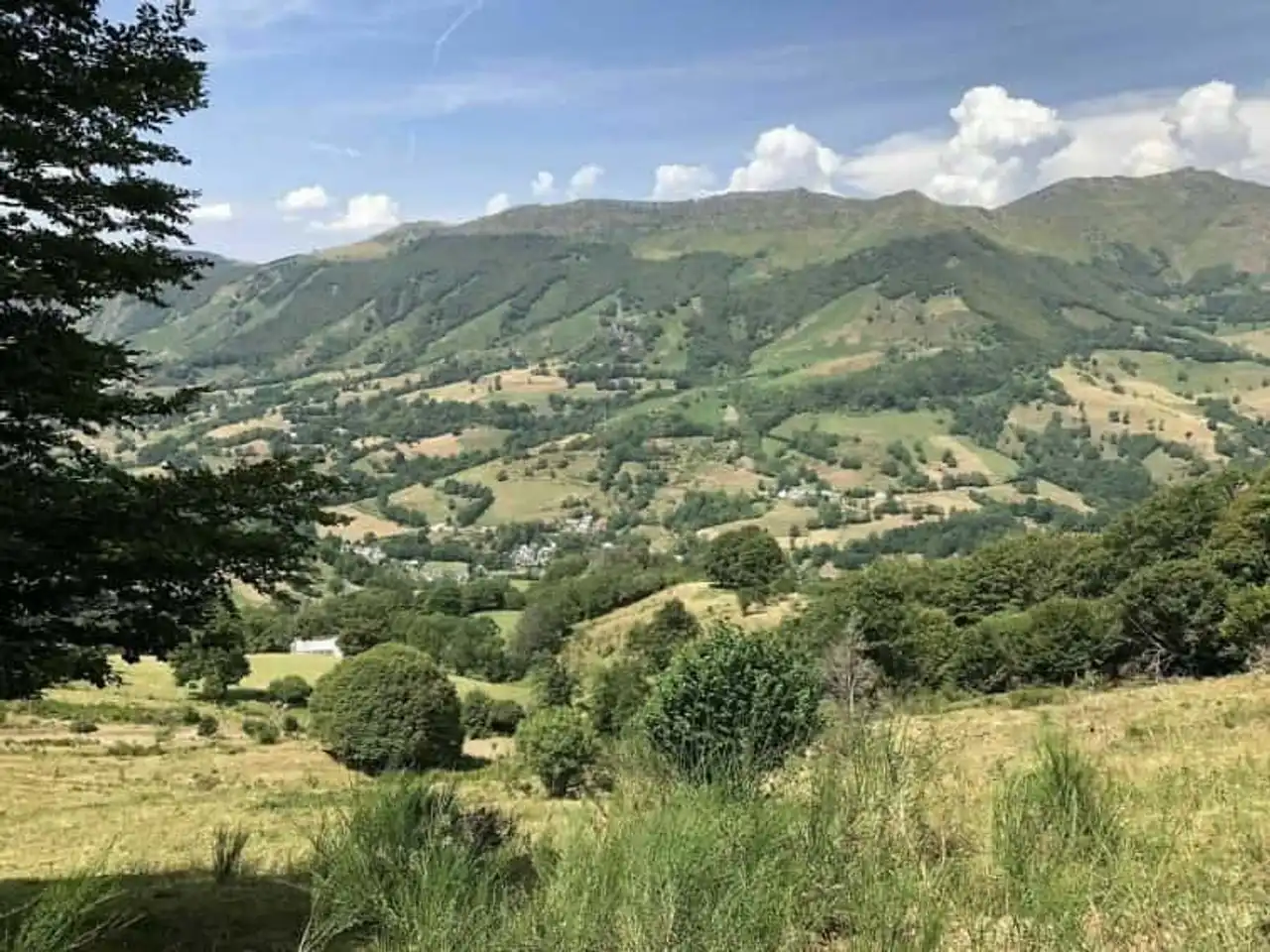
Photo credit: Alltrails
- Duration : about 9am
- Distance 27.2 km
- Denivelé 1 105 m
- Difficulty : Difficult
- See the hiking trail
The Mandailles circus includes several puys: Chavaroche, Mary, Peyre Arse, Usclade, Griou and Elancèze. In winter, it is the paradise for skiers and snowshoe lovers. In the summer, on the other hand, it is the ideal place to deal with its nature, fauna and flora.
During this hike, you will sow the puys, you will approach some more than others. But in all cases, you can widely observe them and bring back precious memories.
This is the opportunity to visit the Cantal and its puys in one time! This trail is one of the longest hikes in Cantal with its 27 kilometers, but get rid of the difficulty. Denial is rarely abrupt.
8. The Rouffier and the Roc du Merle
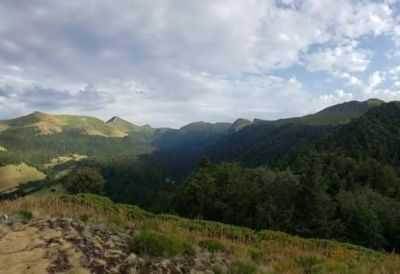
Photo credit: Alltrails
- Duration : about 2 hours
- Distance 7.2 km
- Denivelé 442 m
- Difficulty Average
- See the hiking trail
Above the Valley of Mars where the villages of Falgoux, La Combe, Fontolive or La Chaze are located, discover this pleasant hike, with clearings and denivelé.
Without a possible challenge, Mars Valley part the most beautiful valleys of Cantal . Its flora is very rich (including peatlands) and its protected fauna.
Go to the ascent to the Roc du Merle, 1 344 meters above sea level . From this summit, the Roc du Merle offers a magnificent view at 180° and the valley stretches your arms, enjoy it!
9. The Bec Circuit of the Eagle and the Teton of Venus
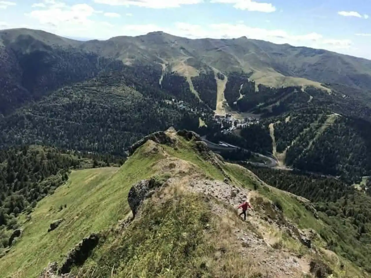
Photo credit: Alltrails
- Duration : about 3h
- Distance 8.5 km
- Denivelé 504 m
- Difficulty Average
- See the hiking trail
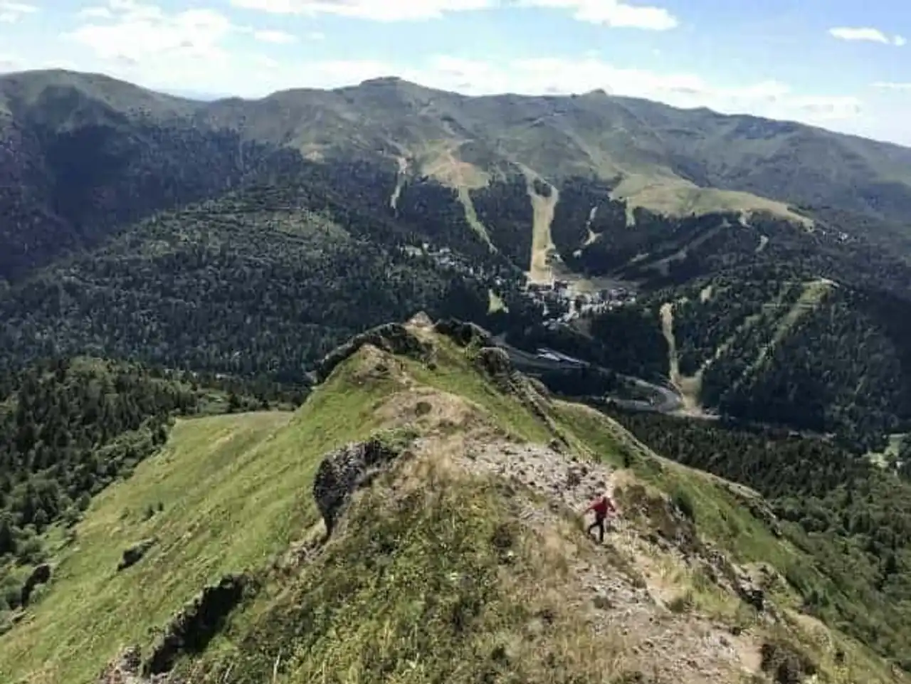
Among the hikes of the Cantal we offer, this one has one of the most important elevations. It is therefore necessary to have a good physical condition to make this hike.
On the way, magnificent views, the horizon and the relief of the Central Massif. At the highest point, you will be able to observe the villages below the Puy de Masseboeuf.
But above all, this route will allow you to approach the Teton of Venus, a summit at the sharp end, and the Bac de l’Aigle, dominant at 1,700 metres above sea level. Don't be surprised if, on the way, you hear the metal bells of the cows lying around.


Loading comments ...