
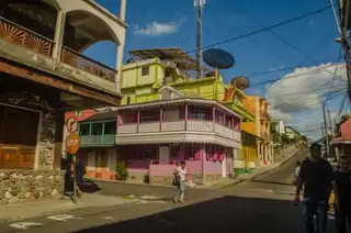
Need oxygen? Go down the mountain legs: here are the most beautiful hikes to do in the Chartreuse.
The Chartreuse massif is located in the French Prealpes and overlaps the departments of Isère and Savoie. Considered one of the most beautiful in the alpine chain, it houses a remarkable fauna and flora.
Indeed, some emblematic summits are among the must-sees of French natural heritage. Why not look at them in the most natural way: by simply starting to survey the massif during a walk-up?
Warm the boots and close your bags, Wanderlix presents you the best hikes to do in the Chartreuse. No worries, there will be for all tastes.
1. Crolles tooth buckle
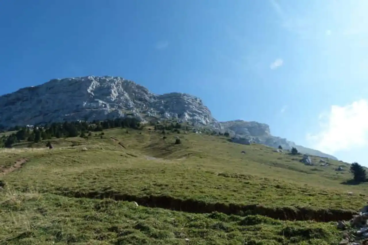
Photo credit: Alltrails
Duration 1h45
Distance 6.9 km
Denivelé 678 metres
Difficulty : Difficult
See the hiking trail
La Boucle de la Dent de Crolles is one of the most beautiful hikes in the Chartreuse. It all starts with a climb in the pastures by the footstep of the Oeille. Impressive cliffs already dominate you! The climb to the top of the Dent de Crolles offers you the possibility to contemplate the sumptuous valley of Perquelin. Cables in the rock will allow you to reach the Glaz Trou.
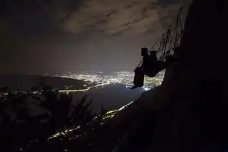
It is a network of caves dug in the mountain that you can explore as you like. But... turn around: incredible! A breathtaking 360-degree view of the mountains and the valley allows you in clear weather to see... the Mont Blanc . Nice, right?
2. Trail of the Col de Porte in Chamechaude
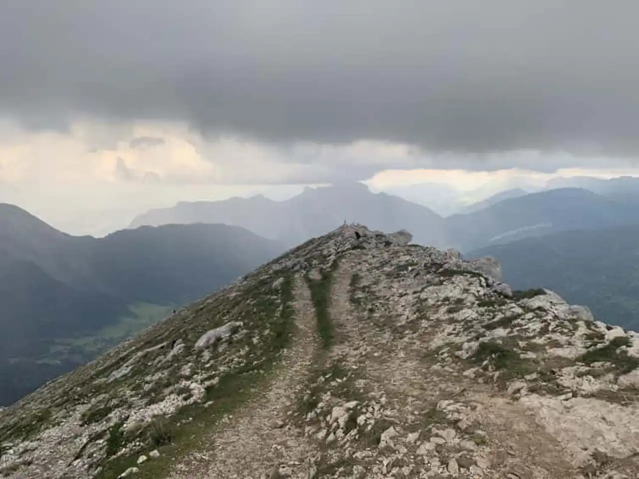
Photo credit: Alltrails
Duration 1h50
Distance 7.4 km
Denivelé 682 metres
Difficulty : Difficult
See the hiking trail
This hike starts at the Porte pass. You will have to cross the Montquaix forest to the Chamechaude. Doesn't that tell you? This is the highest peak of the Chartreuse massif, which stands at 2,082 metres above sea level. Passed the forest path (summer, shadow is the most pleasant) the route is on rocky paths. Here, the good shoes are rigorous... The zigzague trail along an air cliff with beautiful sensations.
The end of your trip includes a short wired section that will reassure dizziness. The ultimate reward of this hike in Chartreuse: the view from the top! The entire region is then spreading in front of you and you can admire Mont Aiguille and the Vercors massif.
3. Ascension of Mount Granier
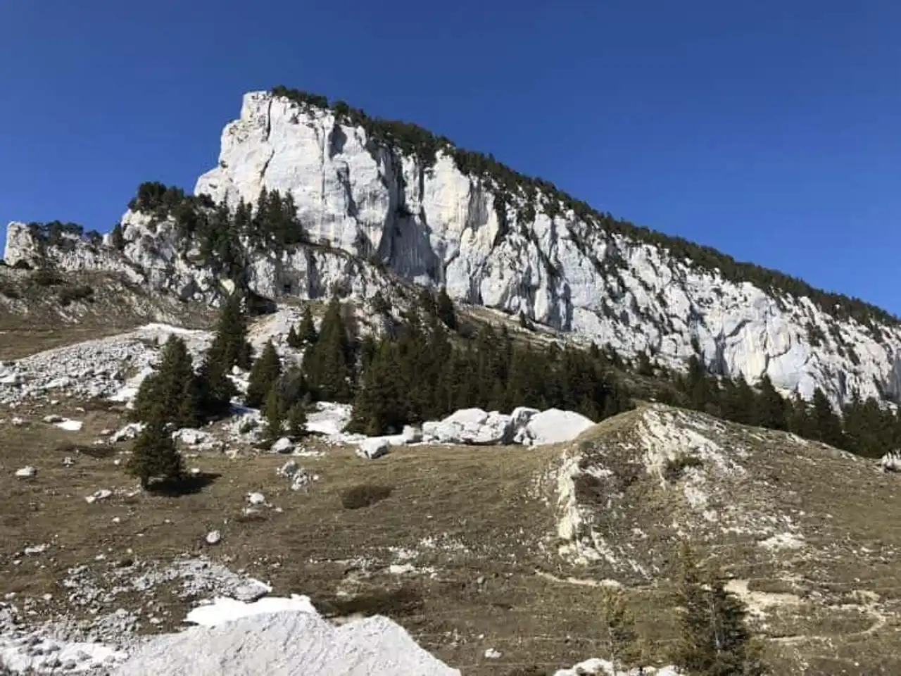
Photo credit: Alltrails
Duration : about 3h30
Distance 11.4 km
Denivelé 1 049 metres
Difficulty : Difficult
See the hiking trail
Welcome to the nature reserve of the Top of Chartreuse, close to La Plagne . Start by parking on the Plans path and then take GR9. The path climbs gradually but surely along the slopes of Mount Granier. The latter dominates the Grésivaudan valley (east side) and the Chambéry cluse from its north side.
Its north face, let's talk about it: this cliff of nearly 900 meters high appeared in the night of November 24 to 25, 1248. This is the greatest known breeze in the history of Europe! The incredible view of the Entremonts valley should not make you forget the prudence on narrow paths... and sometimes quite exposed. It’s not a bunch that wants!
4. The Great Som
Photo credit: Alltrails
Duration : about 4h30
Distance 15.1 km
Denivelé 1,513 metres
Difficulty Average
See the hiking trail
This hike in the Chartreuse begins at the park of the Correrie Museum. The itinerary begins with a bucolic walk in the middle of a dense forest suitable for contemplative meditations. You will be able to reach the Monastery of the Great Chartreuse. Continue to the Habert de Bovinant, a mountain of 1,635 meters above sea level. The Grand Som overlooks it: to reach it follow the signage along a steep path.
Beware of the sometimes slippery rocks that lead to beautiful green slopes from April to September. The sommital cross is reached! Stupid by the beauty of the view on the Chartreuse massif, do not forget to consult the two orientation tables that will allow you to put a name on these spectacular mountains.
5. Mount Rachais from the mountain pass
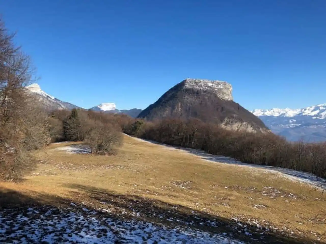
Photo credit: Alltrails
Duration 2h20
Distance 8.7 km
Denivelé 418 metres
Difficulty Easy
See the hiking trail
Welcome to the Vence Pass which offers visitors a beautiful parking. Once you get off your vehicle, follow the small road that passes by the bar-restaurant to GR9. The red and white marking will no longer leave you to the Batteries Road. It rises slowly and will allow you to reach the peak of Mount Rachais.
The summit is not farther: a small window is placed to offer you the opportunity to admire the regional natural park. Rather friendly and unexposed, this hike in the Chartreuse can also take place in basketball or... in snowshoeing, in winter.
6. Cascade du cirque de Saint-Même
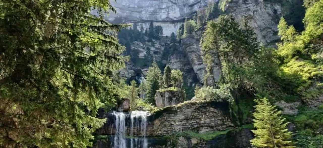
Photo credit: Alltrails
Duration less than 1 h
Distance 2.7 km
Denivelé : 226 meters
Difficulty Average
See the hiking trail
A little family path, do you mind? Take the direction of the Combettes out of the town of Saint-Même-d’en-Haut. Your mission: to reach the sources of the Guiers-Vif along the torrent of hamlet in hamlet. Beautiful clearings punctuate your forest path to the Cascade du Guiers-Vif. This will make the happiness of the most courageous seeking to refresh... yes, the water is iced! The sometimes slippery rocks are the only elements requiring some caution, especially for the smaller ones.
The decor is in any case worthy of a fantastic film decor: a lush vegetation with a bright green surrounding you. Very pleasant in the summer, this hike in the Chartreuse is a must for young and old.
7. Boucle de la Pravouta
Photo credit: Alltrails
Duration 1h30
Distance 4.5 km
Denivelé : 321 meters
Difficulty : Difficult
See the hiking trail
Near Saint-Pancrasse, in Isère, the Pravouta loop begins at the Coq pass. Go up the forest trail to the Habert de Pravouta and follow the trail to the pass of the same name. Then follow the north crest to the top: the valley extends, immaculate or green, in front of you. Continue your mountain getaway by taking the pass of the Ayes and then go back to the famous GR9: it’s already over! This hike has a low denial, making it accessible.
Sunday hikers and children can do it without pain. Positive: throughout the itinerary you will find beautiful meadows for picnic. Or watch the raptors plan: most often they are nozzles. But the royal eagle can sometimes make you the honor of its presence...
8. The Charmant Som
Photo credit: Alltrails
Duration less than 1 h
Distance 2.7 km
Denivelé : 185 meters
Difficulty Average
See the hiking trail
This trail is a hike in the Chartreuse that offers an incredible view of many summits. Here is the chain of Belledonne, Vercors and even the king of the Alps: Mont Blanc. In order to contemplate them, start by going to the parking lot of the charming Som hostel located on the commune of the Cottaves. You will have to face a rather steep (but short) climb to the top of the Charming Som.
Cross the incredible landscape sometimes rocky, sometimes grassy, leading to your goal while opening up your mirettes. The sommital cross is the time to take a well-deserved break. It was worth it, wasn't it?


Loading comments ...