Hiking in Auvergne? Of course! The region, which lends itself to it, stretches your arms and opens its paths to the volcanoes!
The Auvergne is a very old region, with an important History largely linked to that of the Hexagon. It is also a preserved region, with its dozens of volcanoes that mark the landscape and its large green areas, typical of the Auvergnat territory.
Nature thus occupies much of the region, which is ideal for hiking. In the discovery of the volcanoes, the Massif Central or the lake heritage, the Auvergne has so much to offer that it should not be deprived of it for nothing in the world!
In addition, after the effort of a good hike, the gourmet gastronomy will comfort you...
1. The Puy de Pariou
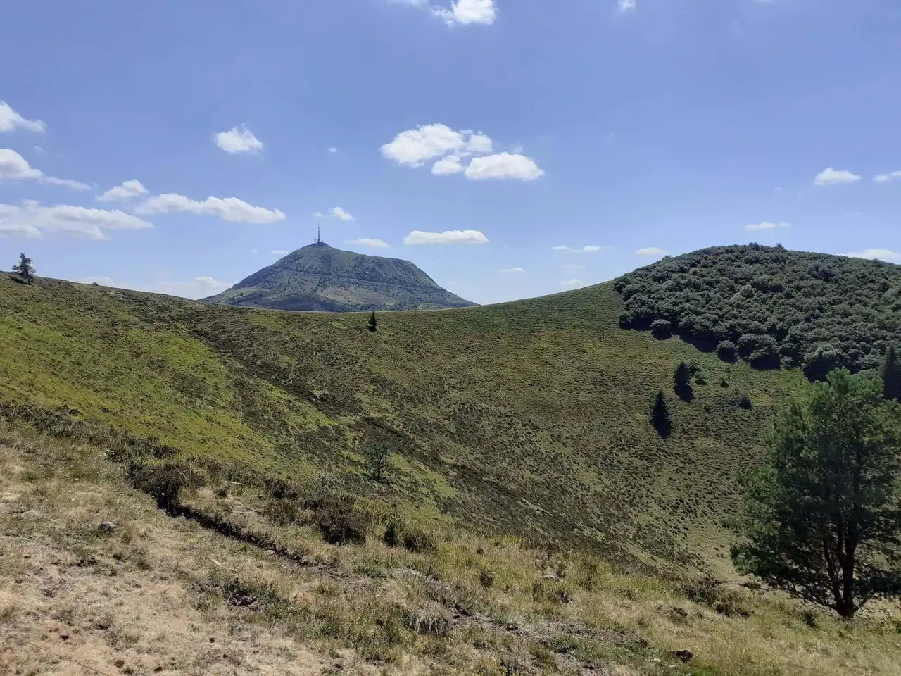
Photo credit: Alltrails
Duration 1h30
Distance : 6.3 km
Denivelé : 262 m
Difficulty Average
See the hiking trail
Less than 15 kilometres Clermont-Ferrand is La Fontaine du Berger, a small village of some houses. It is the starting point of the ascent to the Puy de Pariou. It is one of the many volcanoes that blow the Auvergne and its crater has the particularity of allowing hikers to go down there.
Situated close to 1,200 metres above sea level, the puy offers a nice view of the surrounding area as well as Clermont-Ferrand, which you can see in the distance. Because of this proximity to the great metropolis of the Auvergnate, the place is rather frequented. This is the case especially in the hollow of the crater, where hikers like to pause before descending.
2. The Puy de Dôme via the Col de Ceyssat
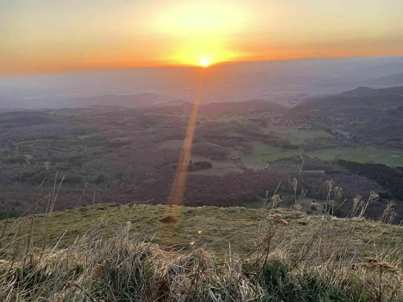
Photo credit: Alltrails
Duration 1h
Distance 5.3 km
Denivelé : 378 m
Difficulty Average
See the hiking trail
There are many hiking tours in Auvergne which are located near Clermont-Ferrand. Indeed, this city is close to the Puys auvergnats chain. So we suggest you discover the Puy de Dôme which gave its name to the department. This is the highest puy of the chain, with a height of 1,465 meters.
So, from the Col de Ceyssat to 1,078 meters above sea level, start the climb in zig-zag to the Puy de Dôme. Once at the top, you can observe several things. The first is the historical vestiges of the Temple of Mercury, dating from the first millennium's first fruits. Then you can see the TDF (TV antenna) tower dating from the 1950s and today became the symbol of the puy.
Finally, it is the view that should impress you most. Panoramic, it allows to discover Clermont-Ferrand from a different point of view, but also the Puys chain. In case of exceptional visibility, the most fortunate may even see the Mont-Blanc 315 kilometers!
3. La Banne d’Ordanche by the Plateau du Guéry
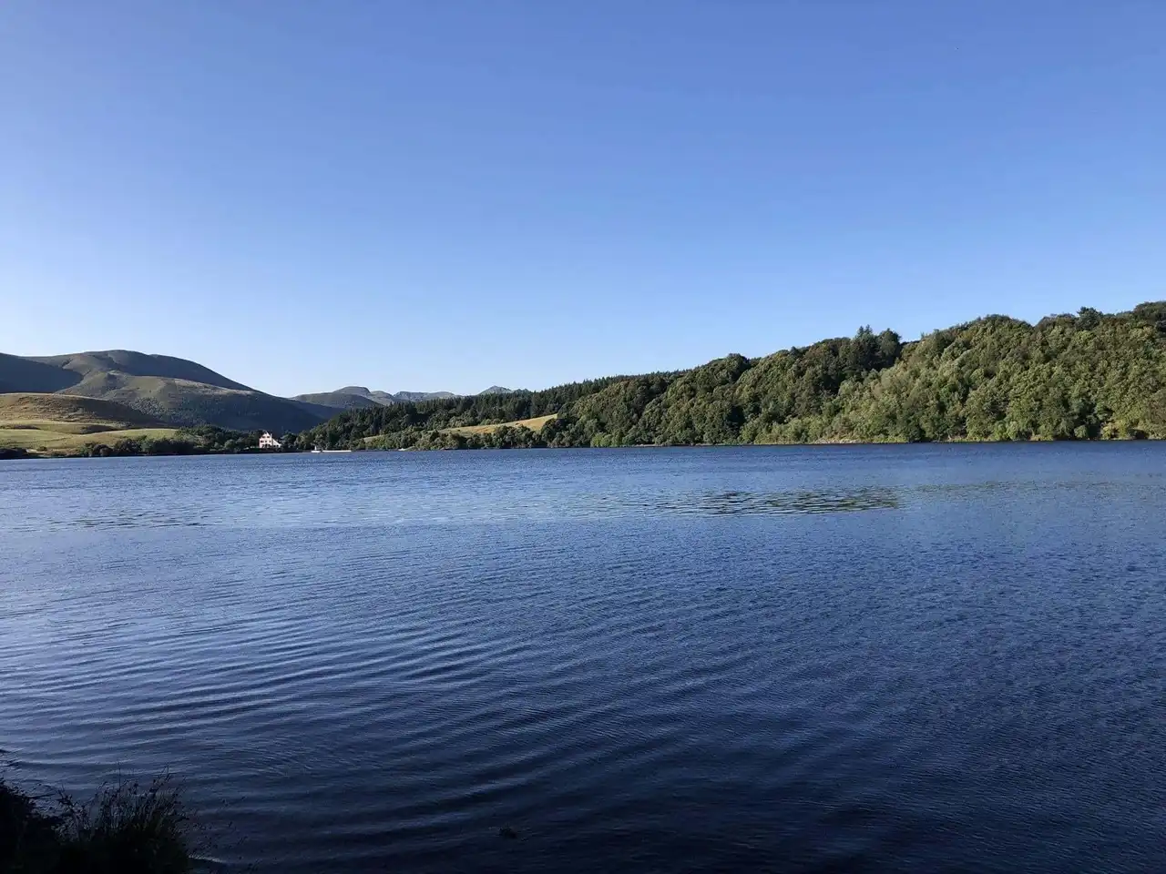
Photo credit: Alltrails
Duration : 3h20
Distance 14.5 km
Denivelé 554 m
Difficulty Average
See the hiking trail
Start this hike along the beautiful Lake of Guéry, where many walkers come to stroll. Then you will start climbing to the Ordanche Banne, at 1,513 meters above sea level. The Banne d’Ordanche is a summit that dominates the city of La Bourboule but also Le Mont-Dore.
To get there you will cross the Plateau de Guéry, characterized by its large expanses, not necessarily planes, attention! We'll have to keep climbing! When you return, you will approach the Chantauzet, another puy at 1,385 metres above sea level.
4. Le Puy de Montchal and Lac Pavin
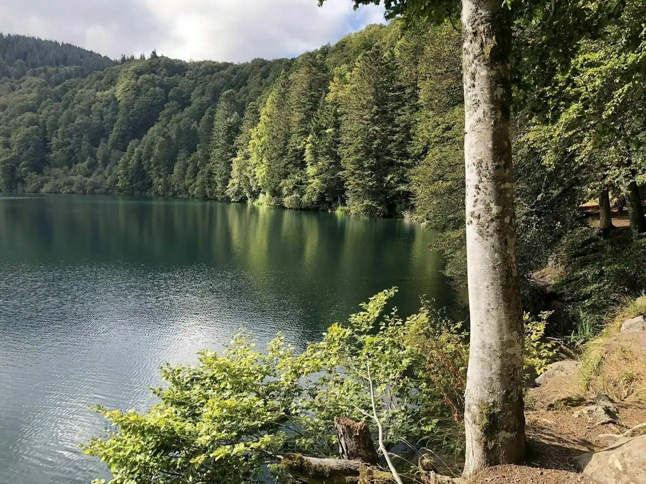
Photo credit: Alltrails
Duration 1h45
Distance 7.7 km
Denivelé 230 m
Difficulty Average
See the hiking trail
Like many hikes in Auvergne, this one takes place in the Volcano Natural Regional Park . Its departure is at Lac Pavin, a very beautiful stretch of water, lined with dense vegetation and mountains.
The lake itself is a former crater that has filled itself. He has a peculiarity: he is said to be a meromic. That is, its banks are too steep to allow the wind to mix surface and depth waters. But it does not remove anything from the magic of the place!
Then you will reach the Puy de Montchal, at 1,407 meters above sea level. This hike takes place in almost all undergrowth, while allowing you to admire the lake and its surroundings along the path.
5. The Goules Puy and the Sarcoui Cave
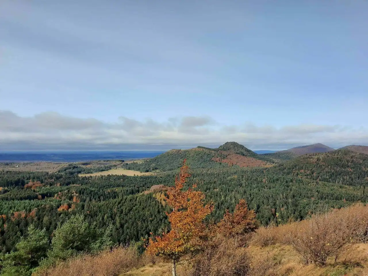
Photo credit: Alltrails
Duration 1h15
Distance 5.3 km
Denivelé 188 m
Difficulty Easy
See the hiking trail
The Puy of the Goules and the Grand Sarcoui are two very close puys, not to say stuck. The route of this hike is a return trip, you may see things about the return you haven’t had the time to see it.
Two points of interest are to be seen on the path: the cave of Sarcoui (jadis exploited by the Mérovingians) and the Puy des Goules. You can quite see the cave before the puy and vice versa. When you arrive at the top of the puy, you can take a tour, lunch in the shade of the many hazelnut trees and admire the view of other puys, like the Puy-de-Dôme!
6. Saint-Nicolas-des-Biefs, Bietterie and Verrerie
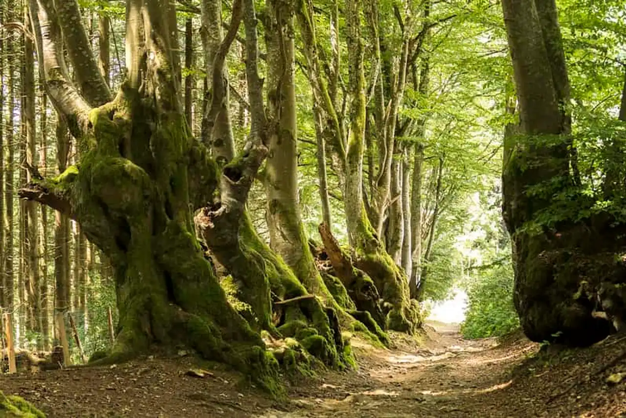
Photo credit: Flickr – Count Rushmore
Duration 1h45
Distance 7.7 km
Denivelé 275 m
Difficulty Average
See the hiking trail
This small path through wood of about 8 kilometers will delight nature lovers. In addition to having the opportunity to marvel at breathtaking views, you will discover a nice walk in the woods.
Less than 40 kilometers from Vichy, on the border between the Allier and the Loire, alternate between walking and climbing. On the way, you can also see a limestone (modern) maintained, the most spiritual will be able to collect it.
7. The Guards and the Plomb du Cantal
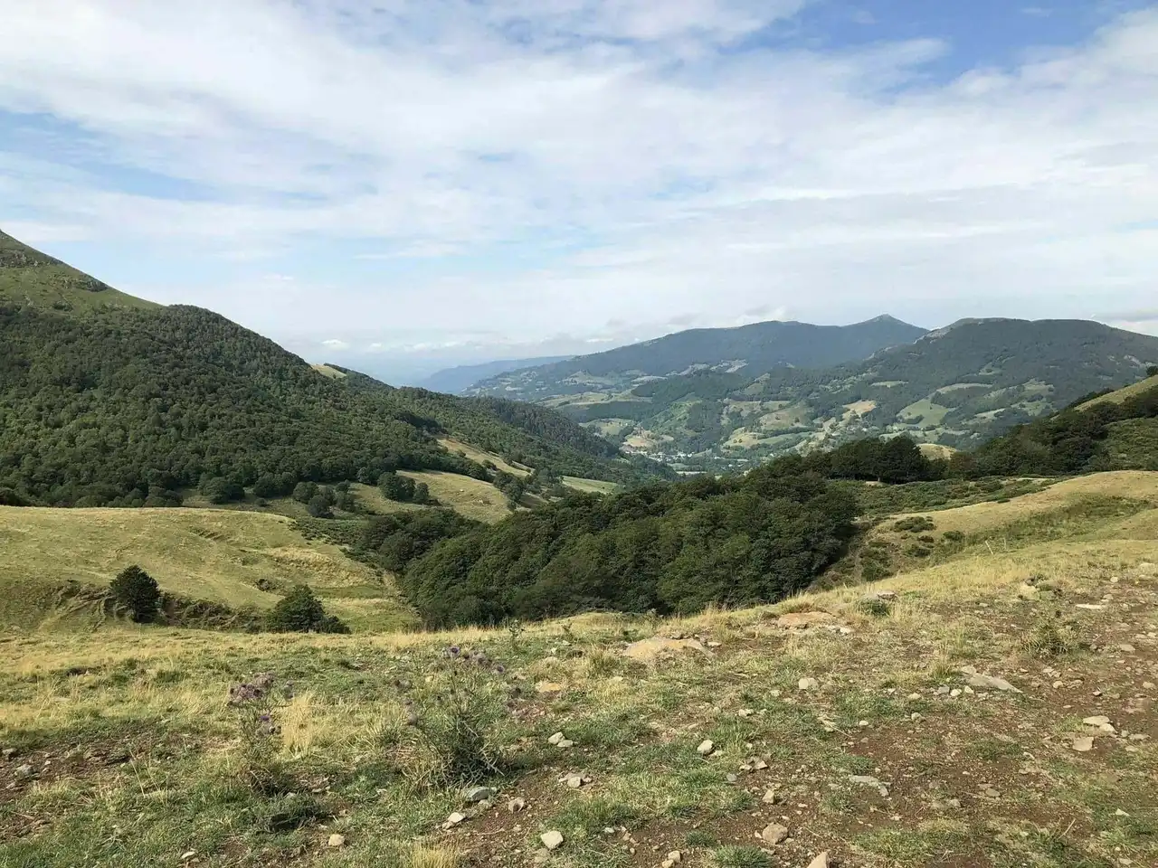
Photo credit: Alltrails
Duration 2:30
Distance 10.0 km
Denivelé 725 m
Difficulty : Difficult
See the hiking trail
Here’s one of the hikes in Auvergne a little more tough than others. It is just over 30 kilometres from Aurillac, in the Volcano Natural Regional Park and not far from the Lioran ski resort.
You will take a large 10-kilometre tour, discovering the Puy Brunet, the Plomb du Cantal and the Buron des Gardes, real natural pepites. The views are incredible, as a comfort after the efforts to reach them.
Note that the Plomb du Cantal is the highest point in the Cantal Mountains with its 1,855 meters of altitude!
8. The Puy Mary
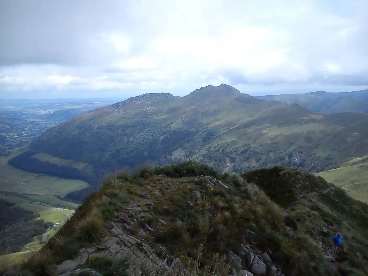
Photo credit: Alltrails
Duration 1/2 hour
Distance 1.3 km
Denivelé 133 m
Difficulty Easy
See the hiking trail
The discovery of the Puy Mary from the Pas de Peyrol takes place on a trail of less than 2 kilometers. What is not very long and yet, on arrival, it is wonderful views that await you!
Indeed, at an altitude of 1,780 meters, you will take your eyes full. Overall, the valley offers itself to you! If it is true that going and its constant positive denial can ask for some effort, you will only be delighted once at the top!
9. The Cros and the Cascade de la Louade
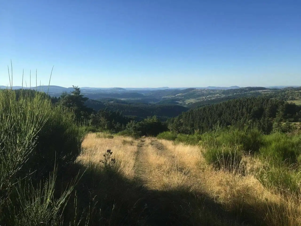
Photo credit: Alltrails
Duration 1h45
Distance 7.6 km
Denivelé 199 m
Difficulty Average
See the hiking trail
South of Puy-en-Velay, the Cascade de la Louade is formed by a stream that goes to the Gazeille, a river passing a little further down. At the start of the village of Le Cros, you will start gently by joining Courmarcès on a wooded path.
Then you will start ascent to the waterfall, along beautiful pastures, sometimes occupied by donkeys or cows. It is a small loop that is done quite easily, and rewards you by the views. Especially the one on the waterfall before accessing it. Some sort of mouthing...
Note, however, that if the hikes in Auvergne that we have listed are mostly natural, it has a bitumen road portion. Redouble your attention, cars could pass!
10. La Cascade de la Beaume
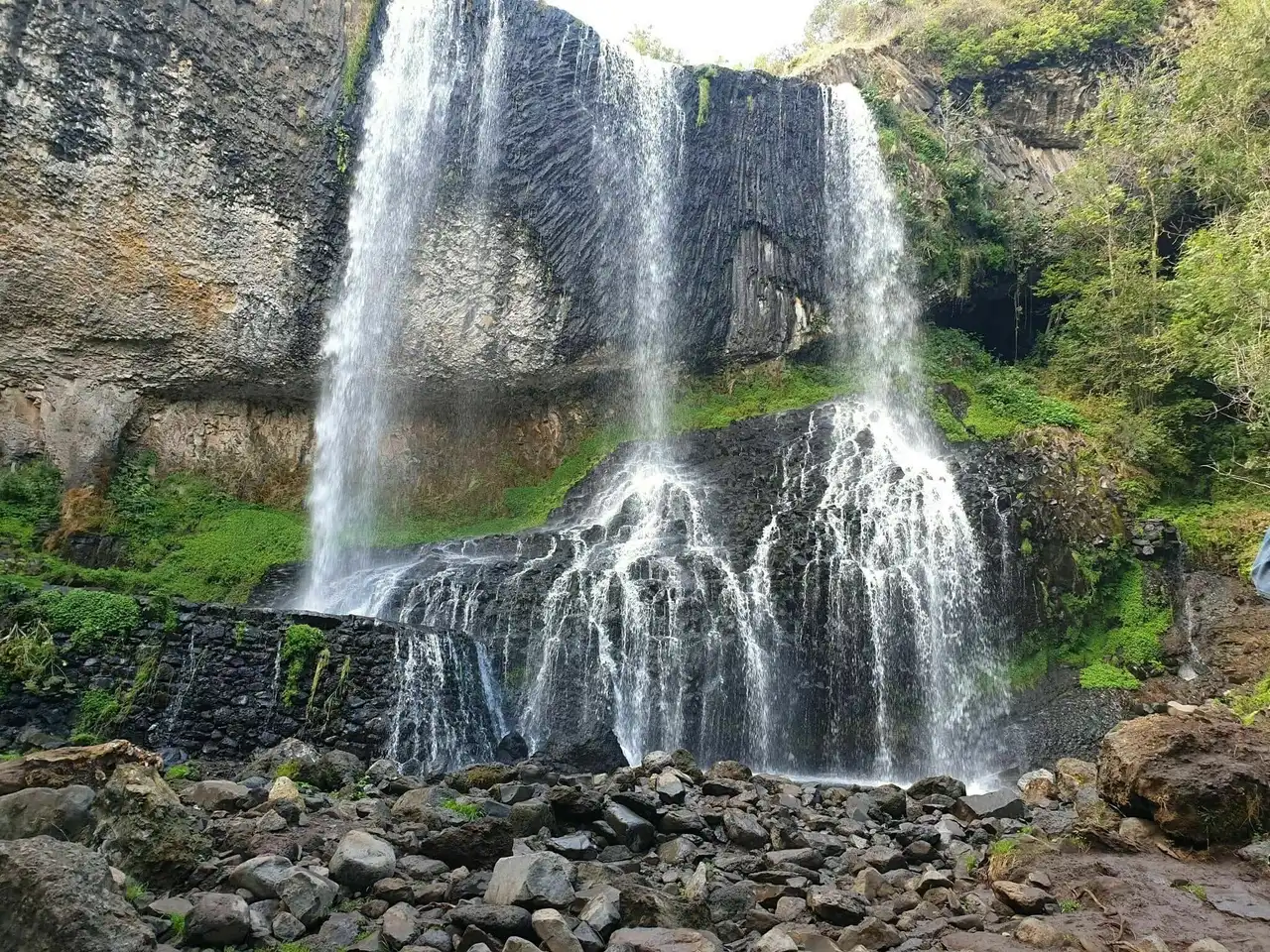
Photo credit: Alltrails
Duration 1/2 hour
Distance 2.1 km
Denivelé 69 m
Difficulty Easy
See the hiking trail
This hike can also be similar to a good digestive ride. On this trail, only 2 kilometres away, there are few difficulties to note.
You actually go there to admire the waterfall. Cascade that lets a stream flow, La Beaume, old enough for having managed to make a place. He worked so hard on the rock that volcanic organisms now dominate the cliffs.
The result is breathtaking, it is a natural painting, composed of lush vegetation, quick water and black rocks...
11. The Pic du Lizieux
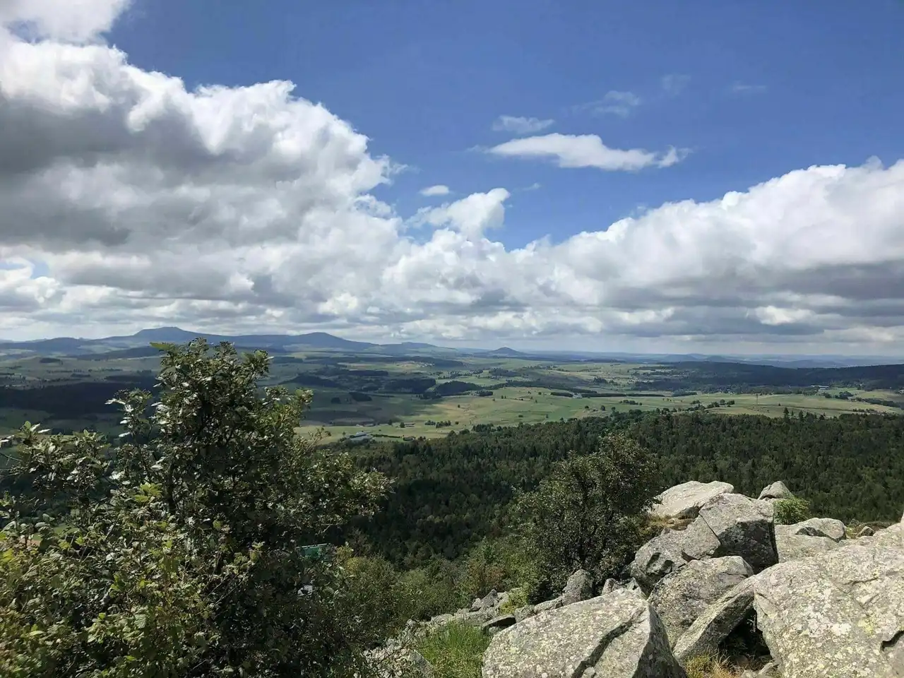
Photo credit: Alltrails
Duration 1h
Distance 5.5 km
Denivelé 178 m
Difficulty Average
See the hiking trail
About 30 kilometers from the Puy-en-Velay the Pic du Lizieux overlooks the area around the top of its 1,388 meters high. The paragliders in the region love flying from this peak, because the view is incredible.
360° is a striking panorama that awaits you, with an orientation table to recognize what you see in front. This hike is rather easy despite a few more difficult places. You will evolve among the trees, squeeze some high rocks and cross a undergrowth. If in some places the denivelé gets felt, don’t be afraid, the game is worth it!
So, have you made your choice among these hikes in Auvergne?



Loading comments ...