In the country of pretzel, nature is more important than it seems. This is why we offer you this selection of the best hikes in Alsace!
At the crossroads of three cultures and with its very tempered character, Alsace is a very strong region that stands out. If she was conquered by several countries, it was France’s offer of her heart. A rich and powerful heart, where gourmet culinary specialties and dove-like architecture blend in harmony.
It is without forgetting the nature side of Alsace: bordered by the Rhine and surrounded by the Vosges massif, it has a breathtaking natural heritage! This is why we have selected the best hikes in Alsace for you. You only have to discover it on foot or by bike, through parks, reserves or valleys!
1. Kruth Lake
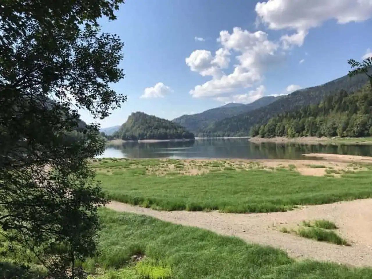
Photo credit: Alltrails
- Duration : about 1h10
- Distance 5.5 km
- Denivelé 147 m
- Difficulty Easy
- See the hiking trail
Lake Kruth is in the heart of the Regional Natural Park of Ballons des Vosges . Specifically at the foot of the Ventron massif and its natural reserve, north of the town of Kruth.
In 1964, with the appearance of a dam in this place, on the Thur River, more than 10 million cubic meters of water are retained. This is how this artificial lake was born, bordered by a vegetable belt composed of forests and grassy shores.
To start your hiking route in Alsace, this is perfect. Its path leads you to the shores of the lake, partly undergrowth, the other in the open air. Ideal for a digestive walk or a family walk, the course is simple and does not represent any real difficulty.
2. The Three Castles of Ribeauvillé
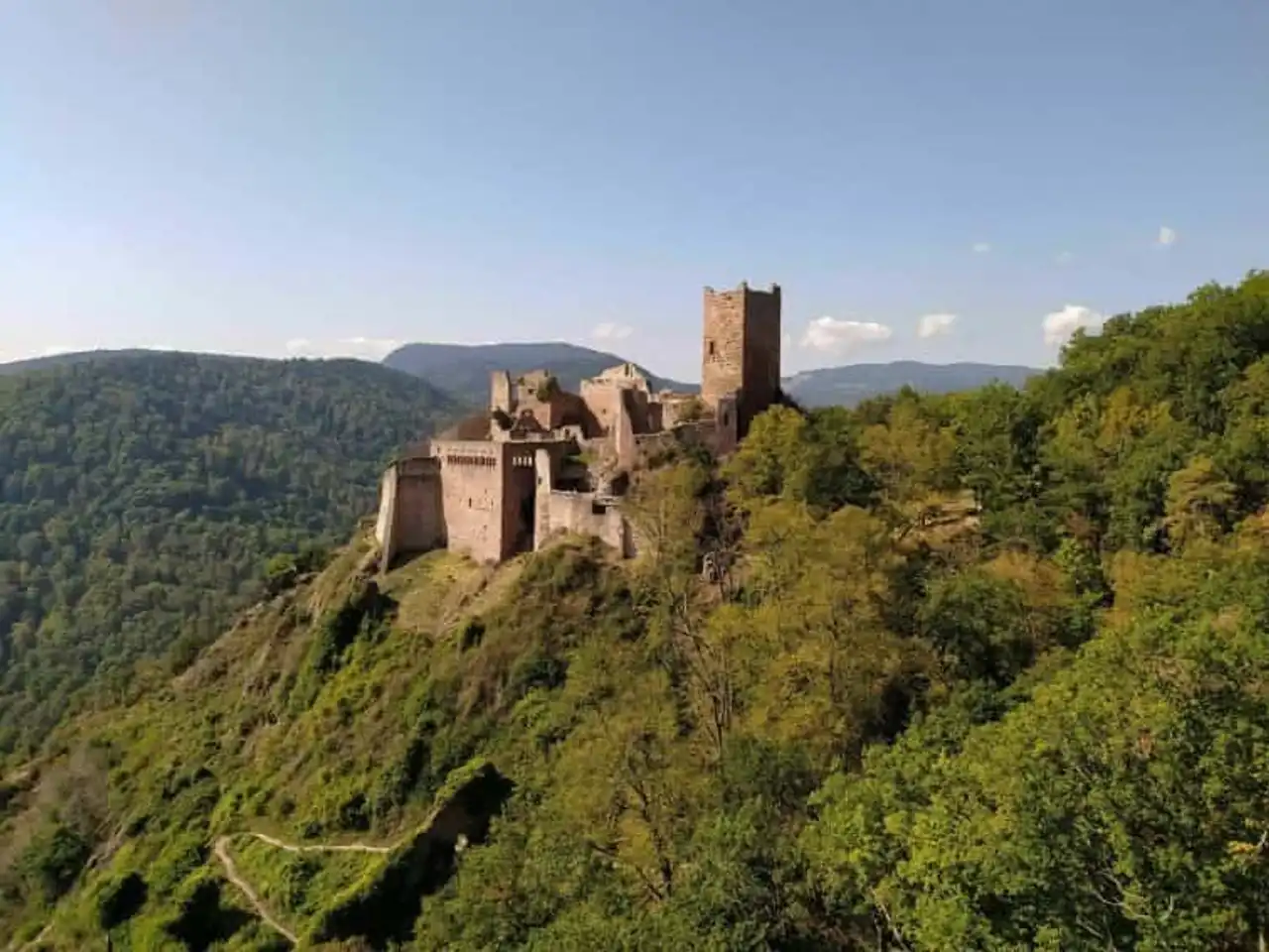
Photo credit: Alltrails
- Duration 1h30
- Distance 6 km
- Denivelé : 385 m
- Difficulty Average
- See the hiking trail
About 20 kilometers from the centre Colmar , find Ribeauvillé, a small town of less than 5,000 inhabitants. Very old, because the first writings that evoked it date back to the firstfruits of the 10th century, Ribeauvillé has a very rich historical heritage.
And this is what this hike offers you to discover, through the exploration of the three emblematic castles, located on the heights of Ribeauvillé. First, the castle of Saint-Ulrich, the castle of Girsberg and finally the castle of Haut-Ribeaupierre.
If the sometimes abrupt disappointment can make the hike a little arduous, know that the view from the castles is breathtaking. You will discover a true panorama of the entire Alsatian countryside, to the horizon! You can even squeeze the walls and penetrate the old castles, today in ruins.
3. The view of the Three Lakes
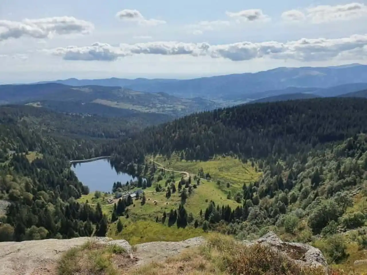
Photo credit: Alltrails
- Duration : about 2h30
- Distance 9 km
- Denivelé : 401 m
- Difficulty Average
- See the hiking trail
Hiking in Alsace allows you to discover the region as rarely seen, this route is an example. It is in the heart of the Two Lakes Biological Reserve that you can discover the... Three Lakes. Through an open-air path, explore the Alsatian nature, observe the local fauna and flora, discreet and both present...
Go down first by a ridge, from where you will see Lac des Truites. Then, along the plateau on one side, and the ravine on the other, you will get closer to the Black Lake, downstream of the Belmont Observatory. Then, go back to Lac Blanc before finally retraversing the plateau at the edge of the Biological Reserve.
4. White Lake, Black Lake, Forlet Lake (Truites) and Green Lake
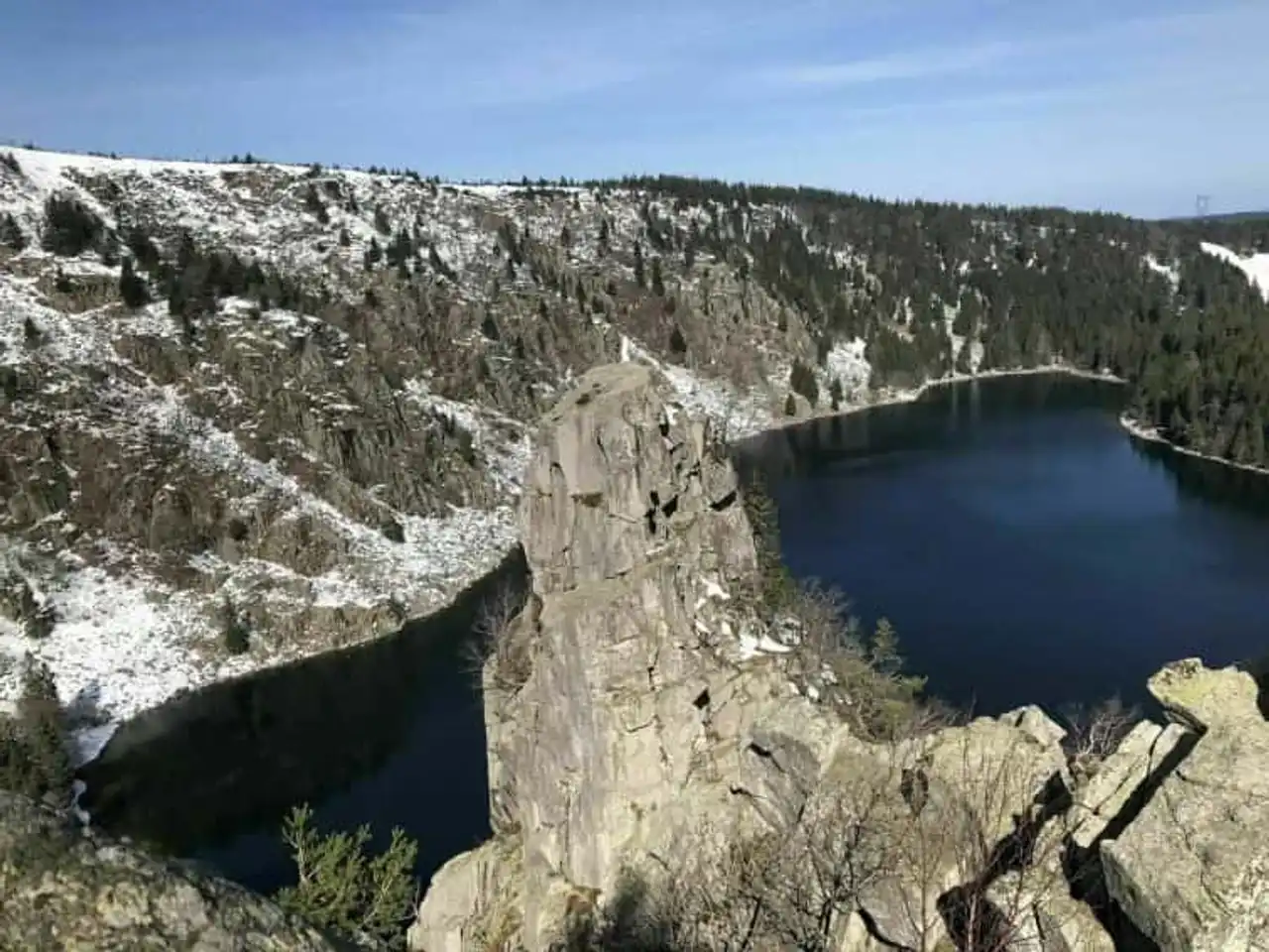
Photo credit: Alltrails
- Duration : about 6h
- Distance 17.2 km
- Denivelé 846 m
- Difficulty : Difficult
- See the hiking trail
Follow the border between the departments of the Vosges and the Haut-Rhin through this amazing hike. You are going to meet four emblematic lakes in the Alsatian region: Lake Blanc, Black, Forlet (or Truites) and Green.
First of all, you will be able to add the Ringelbuhlopf (1,302 metres), before going along the ridge and trays shared between two natural reserves. You will then descend to the lakes, alternate climbs and descents.
Powerful hiking, she'll ask you some effort. However, at the key, sumptuous landscapes, for a guaranteed change. Also, for gourmets, there is a lot of myrtilliers on the way. It is possible to pick the fruit, within 3 litres per person per day.
5. The Trail of the Rocks
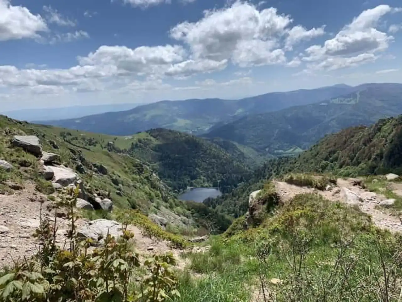
Photo credit: Alltrails
- Duration : about 6h
- Distance : 18.2 km
- Denivelé 991 m
- Difficulty : Difficult
- See the hiking trail
There are hikes in Alsace that are rather technical and that require a little more rigor than others. For this one, this is the case.
First, lightly descend into the Frankenthal-Missheimle Nature Reserve, enjoy the green setting in which you evolve. But this is also the most technical part. Indeed, the presence of many rocks makes the course sometimes steep.
But these efforts glorify the second half of the hike, when you pass near the Petit Hohneck (1,290 meters) and Lake Schiessrothried. Then you will have to follow the Neve Trail to the Spitzkoepfe (1,290 metres) and the Hohneck (1,363 metres).
Finally, you will follow the plateau at the border of the Charlemagne Boiler Reserve, where flora and fauna secretly observe you.
6. Burgertsmatt in Fischboedle
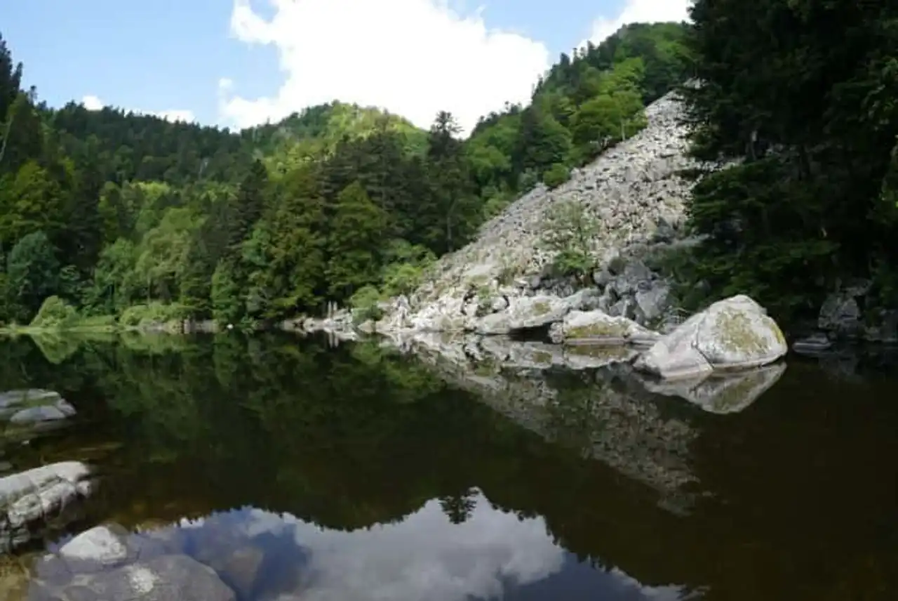
Photo credit: Alltrails
- Duration : about 2 hours
- Distance 7.1 km
- Denivelé : 329 m
- Difficulty Average
- See the hiking trail
Between Mittlach and Metzeral, two villages in the large Munster valley, discover the small Wormsa valley at the foot of the Hohneck (1,363 metres).
So follow this loop that runs along the valley by its flanks, to the water point of Fischboedle. As preserved in its green setting, timidly hidden by the dense forest around it, it is a pleasant place to recharge.
Majority in the undergrowth, the view emerges in places. In harmony with nature, you will pass under rock arches, climb through the trees and ejaculate the stream through wooden bridges.
7. Mont Sainte-Odile and the Castles of Ottrot
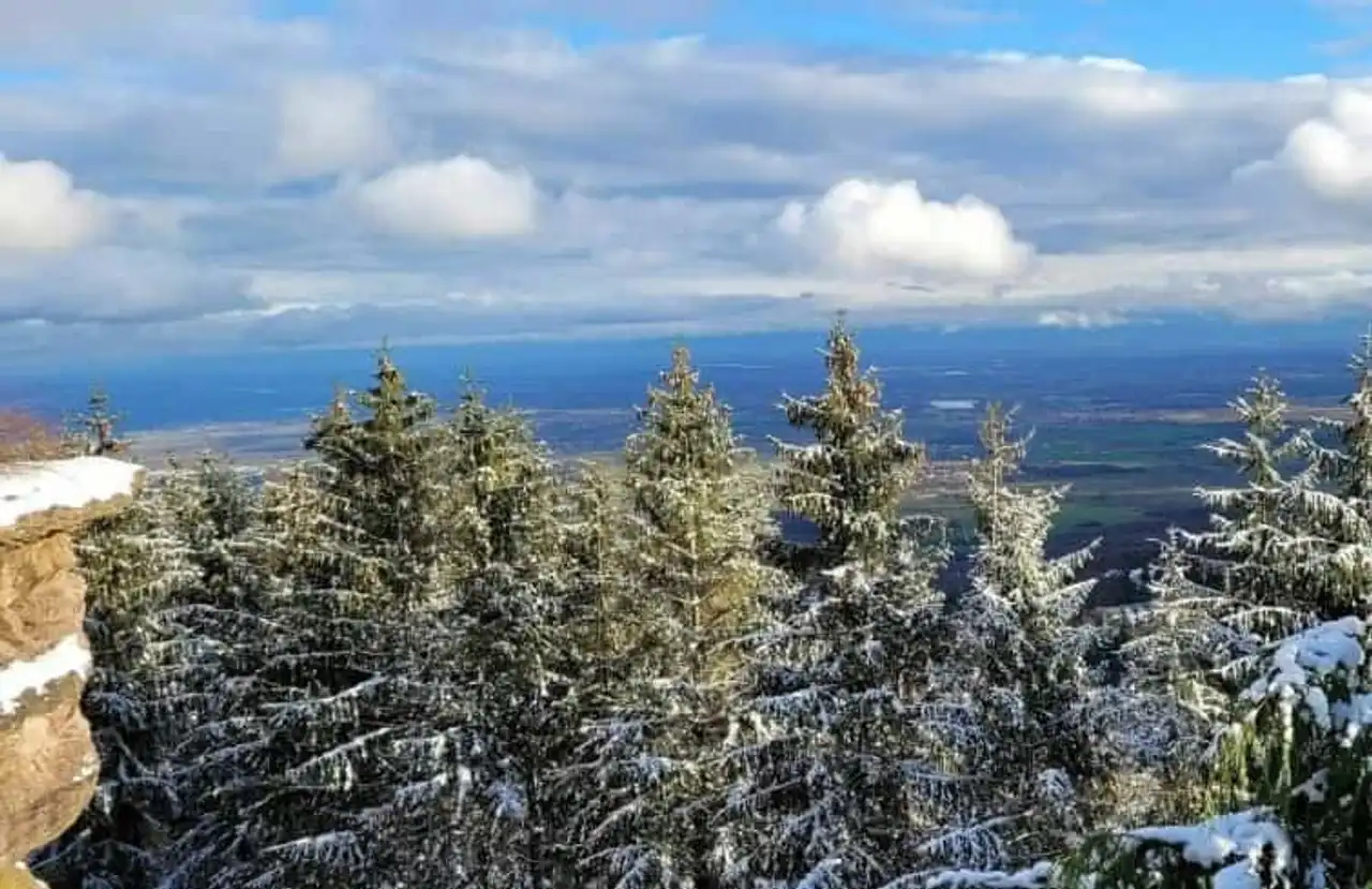
Photo credit: Alltrails
- Duration : about 4h
- Distance 11.7 km
- Denivelé 600 m
- Difficulty : Difficult
- See the hiking trail
Discover one of the hikes in Alsace that will teach you a little about the history of the region and its spiritual dimension. To begin with, climb the mountain at the foot of which is the city of Ottrott.
You will quickly meet the ruins of two castles: the Rathsamhausen and the Lutzelbourg. Their surprising remnants make it an idea of the daily life of the time. Then continue to the plateau of Hohnenburgerberg, where nature unfolds, richly wooded. Take the time to observe the surroundings and especially the horizon.
Go to Mont-Sainte-Odile, where you will embrace a magnificent and panoramic view of the Vosges Mountains. The mountain has a very strong spiritual dimension because it is each year the place of pilgrimage of more than 1.3 million people. Indeed, it houses the monastery of Mont-Sainte-Odile, a beautiful building overlooking the Alsace plain. You will also find a basilica, a chapel and some hotels.
8. The Hohwald waterfall circuit at the Boil of the Veaux
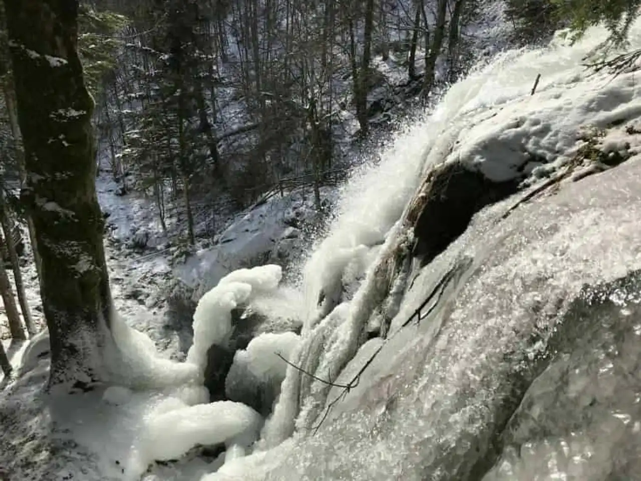
Photo credit: Alltrails
- Duration : about 2h45
- Distance 10.5 km
- Denivelé 568 m
- Difficulty Average
- See the hiking trail
The Hohwald waterfall is a natural monument known in the region. Location frequented due to its accessibility, we suggest you go a little further. Obviously, you will first have the joy of watching the waterfall and why not, to refresh your feet.
But discover a little more landscape by continuing your journey to the Zundelkopf (882 meters) and the Water Boiler. The wooded path crosses spruce and fir forests, to be seen in summer and winter. Finally descend to the Source of Andiau, the river that comes after throwing and form the Hohwald waterfall downstream!
A small addition to the destination, the Tourist Office of the Country of Barr offers a refreshing guided tour with picnic, the Croq’Rando!
9. The Battlefield of the Old Armand
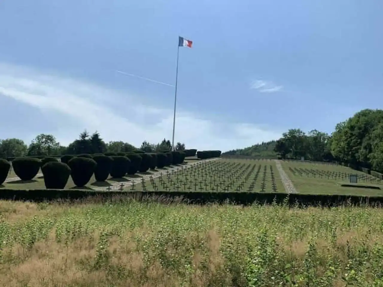
Photo credit: Alltrails
- Duration : less than 1h
- Distance : 3.4 km
- Denivelé 135 m
- Difficulty Easy
- See the hiking trail
The Hartmannswillerkopf massif is located south of the Vosges Balloon Regional Natural Park. He was the scene of bloody battles during the First World War, causing the death of more than 30,000 French and German soldiers.
Today, it is a real open-air museum, offering hikers kilometers of trenches and many remarkably well preserved concrete shelters. If hikes in Alsace are usually centred on nature, it will send you back more than a century.
Start by going along the military cemetery and its thousands of white crosses. Then climb the mountain flank, towards the corners a little further backwards where the hairs have built trenched and sheltered. You will visit strategic posts, a former barracks, a memorial and a stele. In addition, by moment, you will see a beautiful view of the city of Wattwiller and its surroundings.
10. Lake Schiessrothried and Hohneck
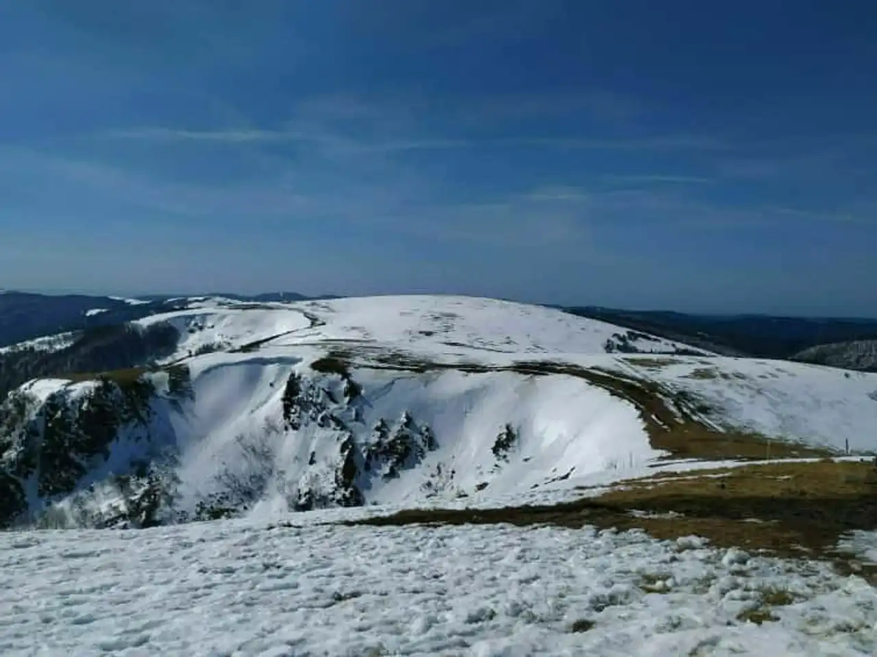
Photo credit: Alltrails
- Duration : about 4h10
- Distance 12.2 km
- Denivelé 612 m
- Difficulty : Difficult
- See the hiking trail
Discover this trail in a loop, starting from the Gaschney, where there is a winter sports station. During this trail, start bypassing a summit to Lake Schiessrothried. Very quiet place, you can rest there or even enjoy a picnic, without forgetting to pick up your waste.
The trail, a little steep and very rocky, continues to the west and you can regularly have a beautiful view of the valley, especially the Wormsa. Then go up to the Hohneck (1,363 metres), following the Neve Trail.
On the way, do not miss the Spitzkoepfe (1,290 meters). From this summit, a 360-degree view awaits you on the plateaus, plains and other Alsatian mountains. On the last straight line you can contemplate the Petit Hohneck (1,290 meters).
11. The East Donon Tower
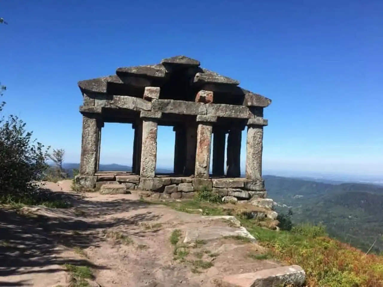
Photo credit: Alltrails
- Duration : about 1h45
- Distance 6.6 km
- Denivelé 330 m
- Difficulty Average
- See the hiking trail
The Donon (1 009 meters) is a summit near the town of Grandfontaine, commune of Bas-Rhin. For a very long time, it has been considered a sacred mountain because it is visible from far away. The Romans consecrate him to Mercury, and build a temple still standing there today. Some other traces of the human passage are found there, such as tools or meules dating from the Bronze Age.
At the start of the Col du Donon, climb the mountain, discover the many historical vestiges and enjoy the panoramic view of the horizon, rugged with beautiful fir forests. Then go down to the Col d’Entre Two Donons, just named. Finally, come back to your starting point via a path along the Donon.
12. Lake Michelbach
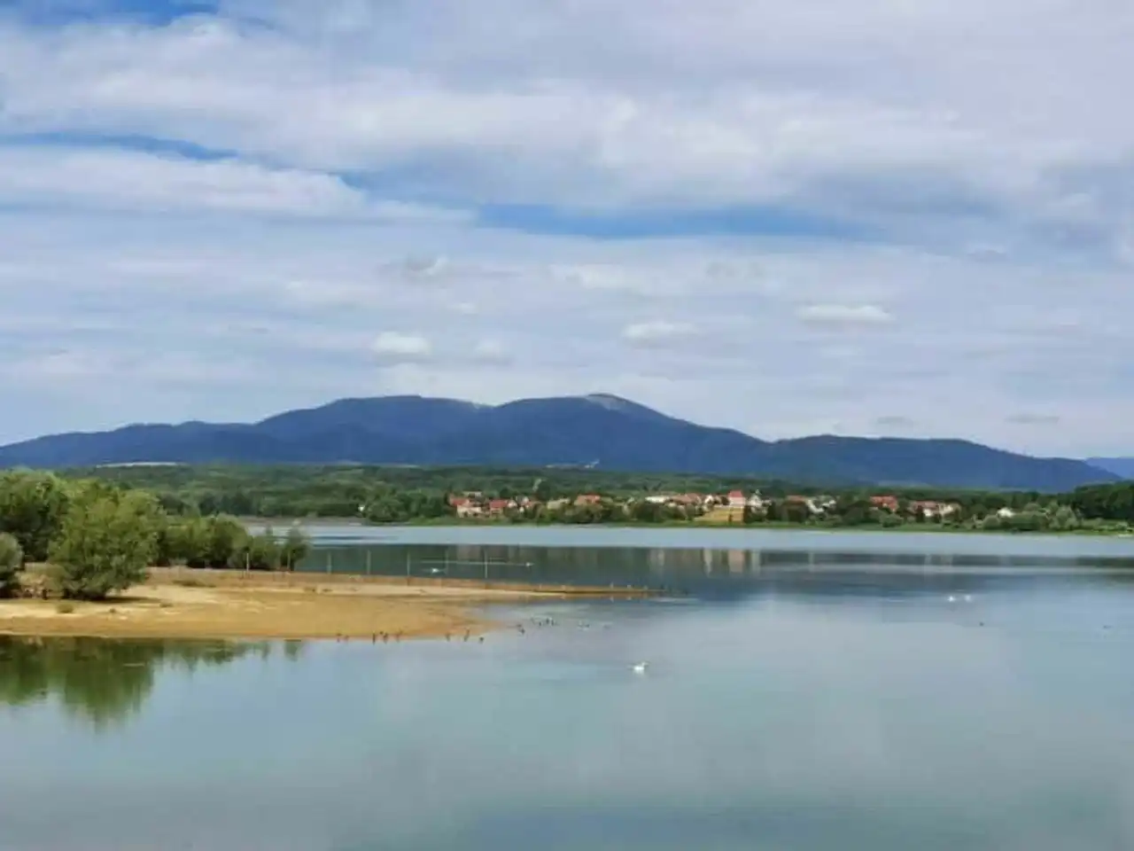
Photo credit: Alltrails
- Duration : about 1h
- Distance 4.5 km
- Denivelé 125 m
- Difficulty Easy
- See the hiking trail
Lake Michelbach is an artificial lake located west of Mulhouse . It was created in the 1980s, on the occasion of the construction of a dam in this place to draw drinking water from the surrounding cities. Ranked Natural Reserve in 1997, the lake allows many birds to live in peace, away from the tumult of human lake activities.
Today, it is nevertheless possible to discover all this fauna through a route that makes the turn of the lake. It is one of the most popular Alsace hikes because it is easy, quick and accessible to children. This makes the lake an ideal place for families, which can then spend a moment in nature and breathe a little fresh air.




Loading comments ...