The Var is going to delight you! Between lush hills and blue sea, enjoy a refreshing break by discovering the most beautiful hikes to take around Fréjus.
Fréjus is a town located in the south-east of France, on the hilly coastline of which it occupies six kilometers. Nestled between the Massif des Maures and that of the Esterrel , the commune enjoys a sublime natural setting and a most generous climate. Fréjus is particularly wide and, for half, covered with forests that walkers of all hair enjoy to travel winter as summer.
At Wanderlix, we are part of it: so much and so well that we have chosen the most beautiful hikes to do around Fréjus. From the coastal path to Mont Vinaigre to the ponds of Villepey, no doubt that you will also find your happiness. Top start!
1. On the slopes of Mont Vinaigre
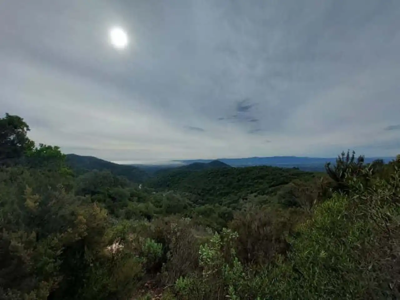
Photo credit: Alltrails
- Duration approximately 2 hours
- Distance: 6.6 km
- Deranked: 292 m
- Difficulty: Moderate
- See the hiking trail
It is at the testanier’s pass that our team will give you an appointment to make the climb of Mont Vinaigre. Be fearless, this hike around Fréjus doesn’t seem like mountaineering: it’s a rather easy course in the heart of the massif of L’Estérel. Mont Vinaigre, at 618 metres above sea level, is the highest point.
At the top, it’s the whole bay of Cannes to Fréjus and Saint-Tropez . In winter, on the other side, the panoramic view of the snowy mountains of Mercantour is also worth two hours of effort. A picnic area is at your disposal on this rural journey that we would gladly recommend to beginner hikers. Come on, you fools!
2. The Malpasset Dam loop
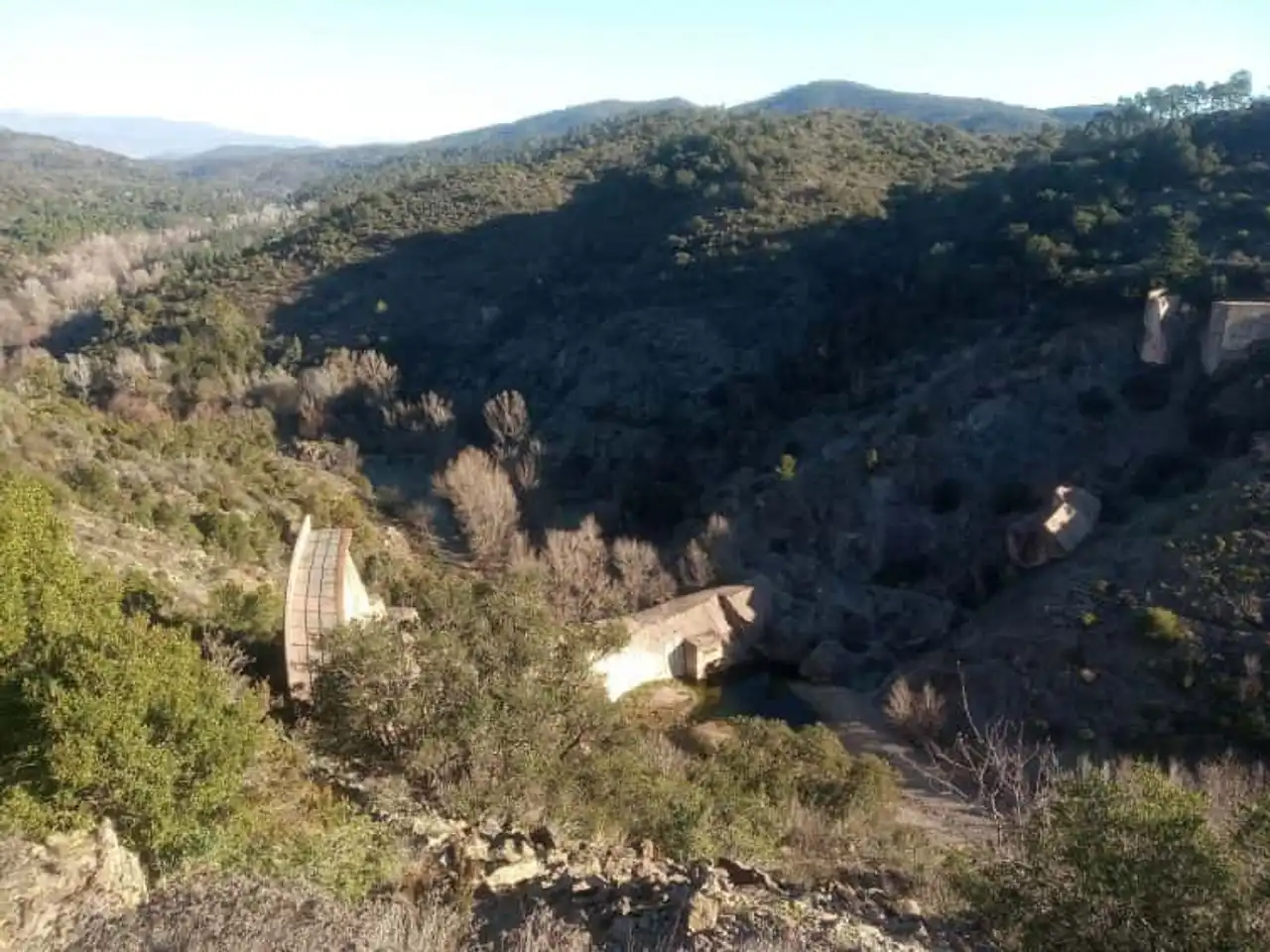
Photo credit: Alltrails
- Duration approximately 1 h 05
- Distance: 3.9 km
- Deranked: 122 m
- Difficulty: easy
- See the hiking trail
Unlike its name, this hike around Fréjus is usually going well. It must be said that it is one of the simplest physically in this pretty region. The trail runs along the Ambon track that winds in a pretty forest typical of south-eastern France. It allows access to the ruins of the Malpasset Dam, the place of the most important French civil catastrophe of the twentieth century.
On 2 December 1959, torrential rains exploded this vault built on the Reyran, a tributary of the Argens. In high season, commentary visits to Malpasset's site are available on Tuesday morning. This forest itinerary is worth a visit by its simplicity and beautiful view from the viewpoint of the dam. Subjects to vertigo, attention!
3. Discovery of Cape Dramont
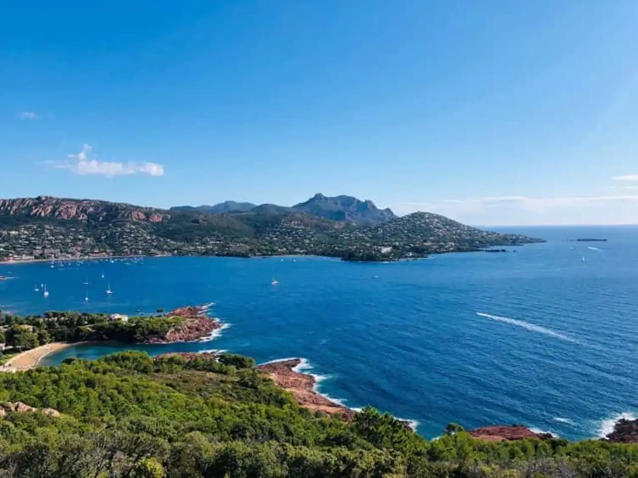
Photo credit: Alltrails
- Duration approximately 1 h 35
- Distance: 5 km
- Deranked: 233 m
- Difficulty: easy
- See the hiking trail
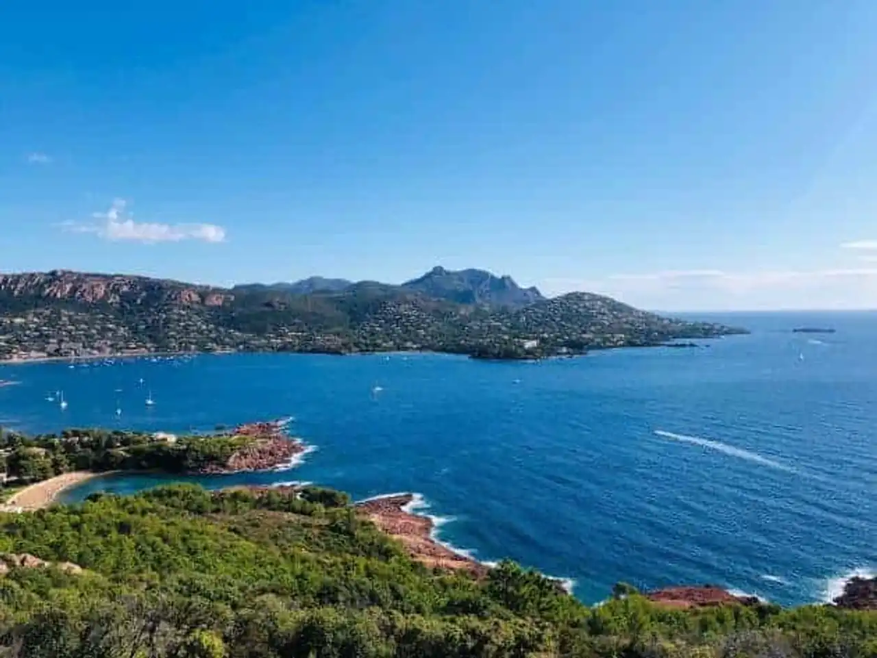
Cape Dramont is a wonderful preserved natural space located in Saint Raphael . It hosts a semaphore and offers magnificent views of Agony Bay. Going to its discovery, it is plunging into a coastal world shared between the blue of the sky and the sea and the reddish rocks emblematic of the Esterel massif. Close to the small port of Agay, you will find a charming little pebble creek.
For the anecdote, the island of Gold, which faces the beach of Cape Dramont, would have inspired the cartoonist Hergé for his “Black Island”. Moreover, the island of Gold looks like a profile gorilla... She also served as a decor for a scene of the film "Le Corniaud", by Gérard Oury, with Louis de Funès and Bourvil. The stars, decidedly, enjoy the region!
4. The coastal path in Saint-Raphaël
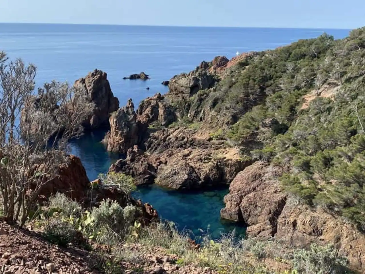
Photo credit: Alltrails
- Duration approximately 4 hours
- Distance: 16.3 km
- Deranked: 264 m
- Difficulty: Moderate
- See the hiking trail
Welcome to Saint-Raphaël for an enchanting journey by the sea. This hike around Fréjus begins at the station of the commune, passes by the port near the beautiful Bonaparte garden before prolonging to the east. The coastal path stretches to Camp Long Beach. Long enough, its weak denial makes it an option to occupy a beautiful afternoon or a summer morning.
You will crowd the landing beach and cross beautiful quiet coves where you swim in the middle of the rocks. A good plan if you or those who accompany you are tired at halfway: the Dramont station is located between the stops of Boulouris-sur-Mer and Agay. It will allow you to reach your starting point... without getting tired.
5. The 3 Lakes and Meulières
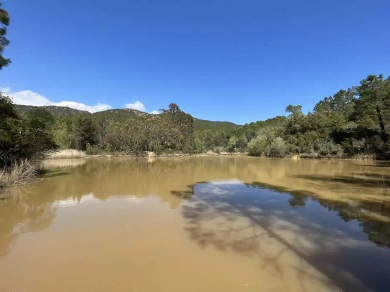
Photo credit: Alltrails
- Duration approximately 1:45 a.m.
- Distance: 6.6 km
- Deranked: 149 m
- Difficulty: easy
- See the hiking trail
This time we offer you a pleasant route to explore the beautiful forest of the Defens wood. Its majestic oaks and pluricenterary pines would probably have seduced Merlin himself. Today they welcome a nice hiking trail to do around Fréjus. The easy route allows you to discover the three small lakes of the volcanic massif of the Colle du Rouet. You can enjoy a beautiful panoramic view overlooking the rock of Roquebrune and Mont Vinaigre.
It is possible to picnic at the start or on the arrival of the hike on the arranged area next to the parking lot. Practice for (re)taking forces! Forester and therefore, shaded, this hike is accessible regardless of the level of participants. This will not prevent them from carrying a reasonable amount of water: they will not find any drinking water on the journey.
6. Return to the Rastel d’Agay
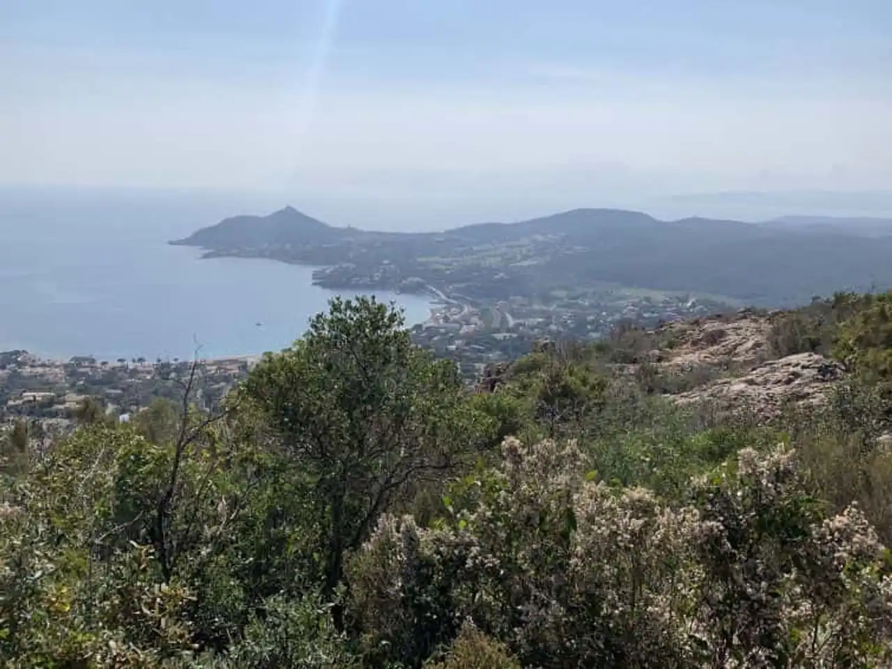
Photo credit: Alltrails
- Duration approximately 1 h 35
- Distance: 5.6 km
- Deranked: 183 m
- Difficulty: easy
- See the hiking trail
Wow! This hike around Fréjus overlooks the majestic bay of Agay, offering magnificent views from the Rastel d’Agay and its orientation table. The Estérel massif and its red rocks contrast with the sky, often blue in this region among the most sunny in Europe.
The Pic de Cap Roux and the Pic de l’Ours are on the horizon. During the descent, if you go on site in winter or spring, you will have the opportunity to go along small streams. In the summer, access to the massif is regulated: by high heat or violent wind, it can be quite closed. Ask yourself first to avoid any disappointment!
7. Large panoramic loop in the massif of Ester
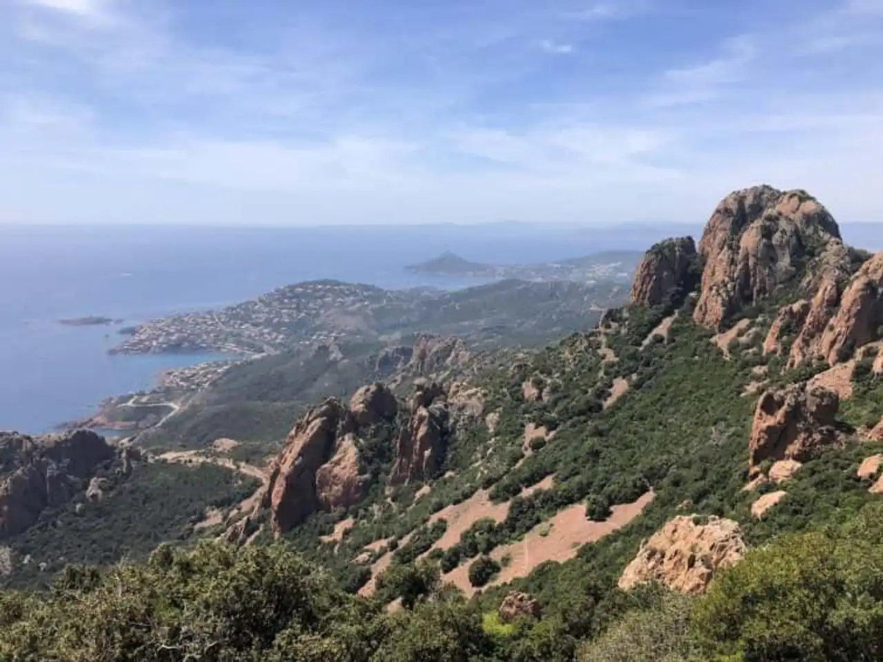
Photo credit: Alltrails
- Duration approximately 8:05 a.m.
- Distance: 27.8 km
- Deranked: 1 033 m
- Difficulty: difficult
- See the hiking trail
Long about thirty kilometers, this large loop in the Estérel massif climbs over 1,000 meters in total. Not nothing! It will lead you to the Pic de l’Ours, Cape Roux and close to the Saint-Pilon while offering stunning panoramic views of the Mediterranean. The course, quite unmarked, is one of the wildest of this selection.
Moreover, it passes through the biological reserve of Mal-Infernet. If you try the adventure, you will take care of the air or delicate passages, especially on the last section of the route. But the show is worth it, especially in the autumn.
8. The tower of the ponds of Villepey
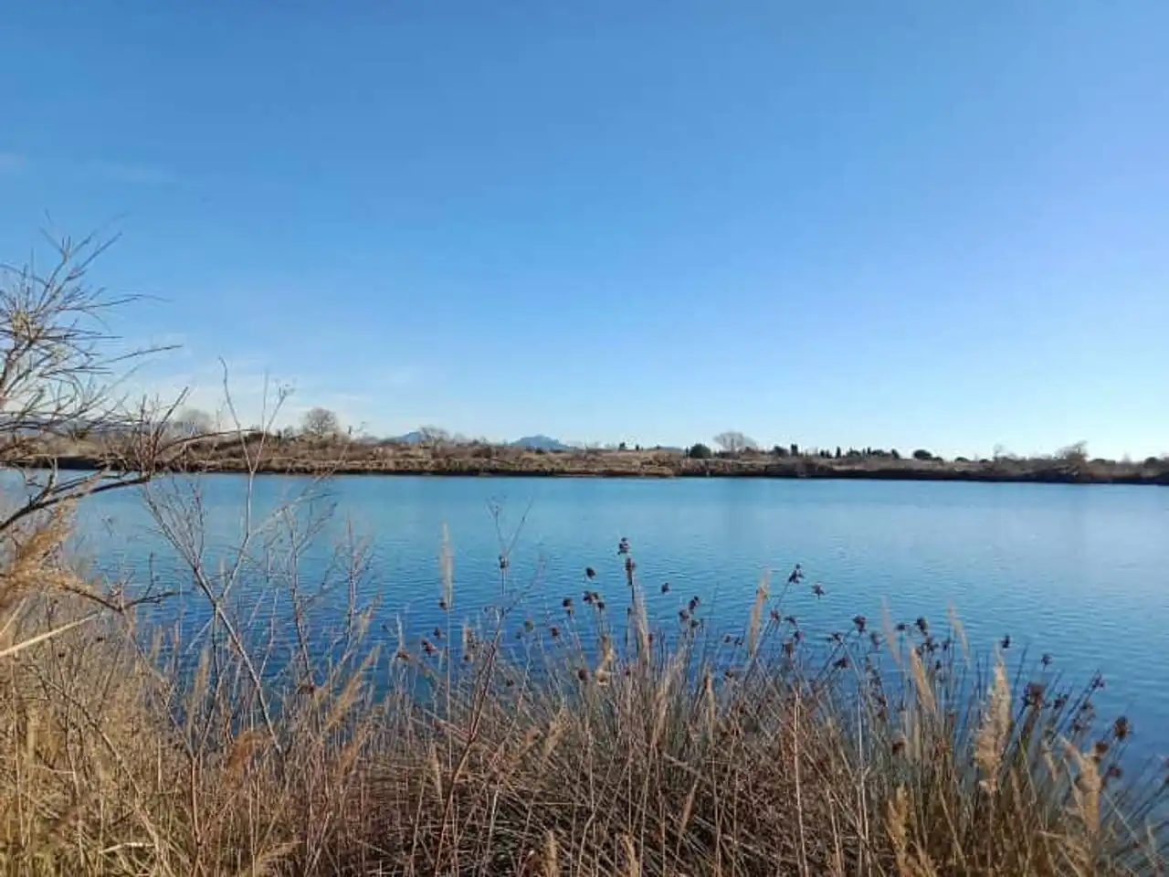
Photo credit: Alltrails
- Duration approximately 1 h 25
- Distance: 6.3 km
- Deranked: 28 m
- Difficulty: easy
- See the hiking trail
The ponds of Villepey form one of the few coastal wetlands in the region, which houses exceptional flora and fauna. This protected natural area of 260 hectares is located in the heart of the delta de l’Argens. To discover it, go south of the city of Fréjus on the beach of Galiote.
In the south of François Léotard, you will evolve in the midst of many species of birds that make the happiness of amateur photographers. The return will give you the opportunity to discover the beautiful beach of the Esclamandes after the Vasière Observatory. A short, easy and friendly route, especially with the family.
9. Ascension of Mount Aigre
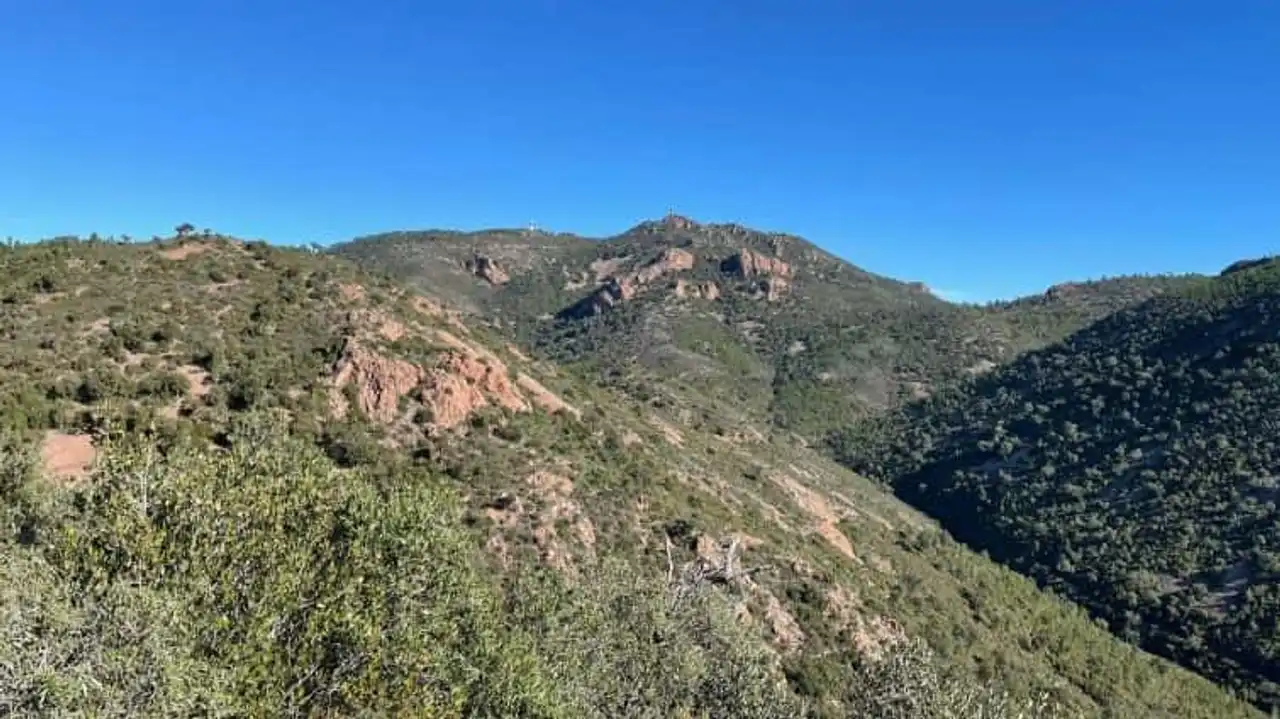
Photo credit: Alltrails
- Duration - About 3.20.
- Distance: 11.7 km
- Deranked: 389 m
- Difficulty: Moderate
- See the hiking trail
After Mont Vinaigre, Mount Aigre! Its ascent, rather easy, is a great hike around Fréjus. The trail walks quietly to beautiful viewers overlooking the bay. The main track is marked in blue: at an intersection, choose the path that climbs to the top of Mount Aigre and its 450 meters of altitude. The top is indicated by a panel. The descent is simply done by following the marking of GR 51 which will lead you to your departure car park.
We appreciate this hike because of its many points of view and ease of access to the starting pass. It is also easy to find a shaded corner to picnic or take a break. This doesn't help you with sun cream in the summer!
10. The loop of Marre Trache by the balcony of Esquine
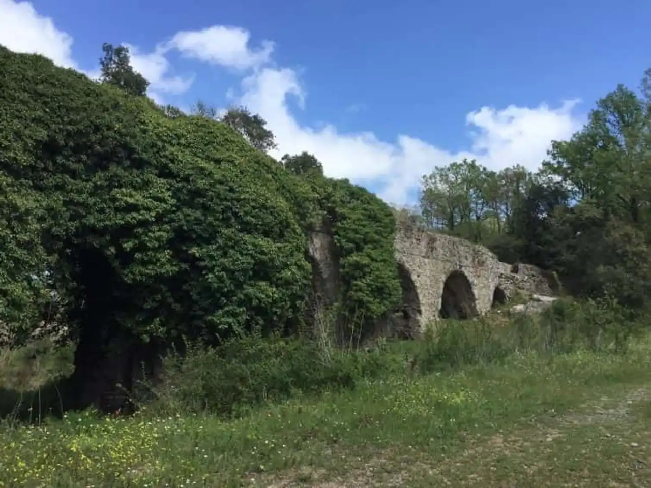
Photo credit: Alltrails
- Duration approximately 2 h 35
- Distance: 9.5 km
- Deranked: 267 m
- Difficulty: Moderate
- See the hiking trail
This ultimate hike around Fréjus starts from the end of the Malpasset road to lead you to the level of Marre Trache and Lac de l’Avellan. It is willing to stop before reaching the junction of Esquine and GR 51. The itinerary winds in the middle of a monumental chaos of stone blocks that precedes the “Villa de l’Esquine”.
This bucolic forest section in undergrowth is pleasant in all seasons. The course does not present any real difficulty but some -short-gradients will put the calves untrained to hard trial... equip yourself with sticks, it will relieve your gambettes to the climb as to the descent!


Loading comments ...