The mountain in the heart of Provence, here is the experience of hiking on Mont Ventoux! Massive, peaking at 1,910 m above sea level, everyone knows it for its arduous ascents by bike, but many walking paths also run through this Provencal giant...
What surprises the Ventoux is its loneliness: it stands above the Monts du Vaucluse, near the Lace de Montmirail, forming a natural barrier made of ancient limestones. This rock explains the white colour of its peak even in the summer, while in winter it is the snow that shaves the Ventoux.
Because of its situation, the Giant of Provence is particularly exposed to the north wind: it does not make a good hike on Mont Ventoux when the Mistral blows strong! From this particular climate comes from beautiful landscapes, and wild fauna and flora lovers enjoy on the trails.
Ranked a biosphere reserve by Unesco, no wonder Mont Ventoux acts as a magnet on so many hikers. In view of the climatic conditions of the Ventoux, the ideal season for hiking begins in the spring.
In the summer, when it’s hot in Provence, don’t hesitate to protect yourself from the sun and above all, think about always moisturizing yourself, leaving to wear its weight in water... The back-season is very pleasant for its colors and its softness, while the winter, walking is possible on the Ventoux, provided you equip yourself for the cold!
1. The summit of the Ventoux from Mont Serein
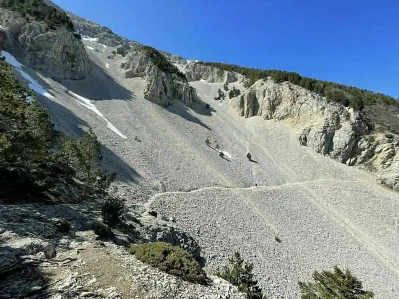
Photo credit: Alltrails
- Duration : about 5h
- Distance 13.7 km
- Denivelé 697 m
- Difficulty : Difficult
- See the hiking trail
Many hiking routes on Mont Ventoux lead to the top of the iconic Giant de Provence, but many are difficult. With this loop starting from Mont Serein, you keep the gap of a beautiful ascent to reach the highest point, while remaining on an accessible route.
Very beautiful 360°C views of the Alps, the Rhone Valley, the Luberon, the Mediterranean, etc. Access to the summit of the Ventoux remains a memorable experience! To do in clear time, in spring, for a better effect. Back by the ridges then the north face, in the forest, and in the middle of nature.
2. The great loop of the Discovery Trail Jean-Henri Fabre
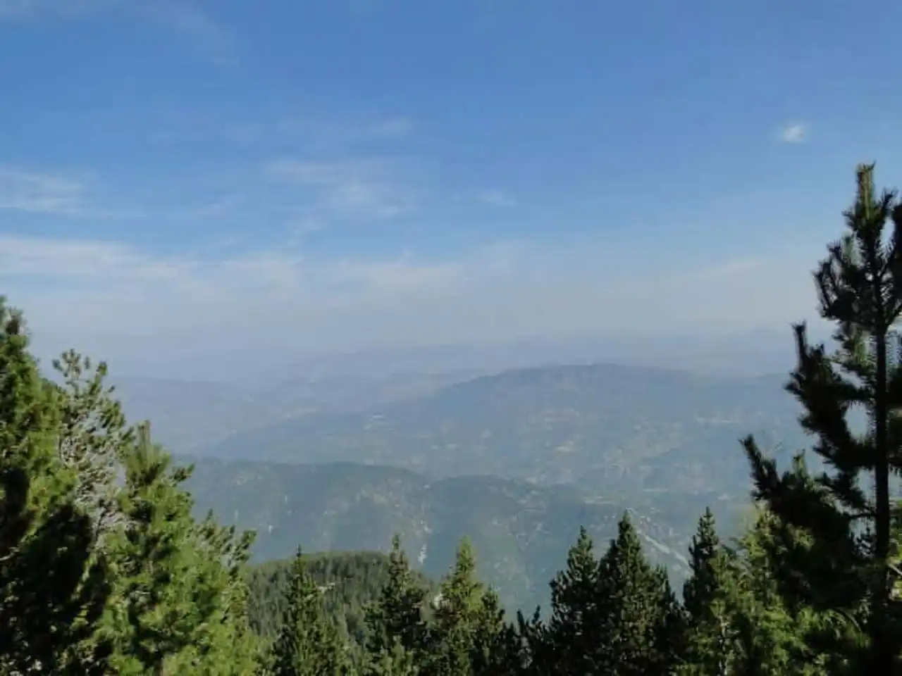
Photo credit: Alltrails
- Duration : about 2h30
- Distance 5.5 km
- Denivelé 165 m
- Difficulty Easy
- See the hiking trail
This very pretty Mont Ventoux hike is sprinkled with explanatory panels around the work of entomologist Jean-Henri Fabre Nature theme!
From Mont Serein, the Discovery Trail has the advantage of being easy to travel for all, including children, while enjoying the exceptional setting of the Ventoux, whose summit is not far away.
Several loops allow you to adapt your ride to your expectations or time limits, from 1h to 2h30 walking, or even the two combined.
3. The lace of Montmirail by Gigondas
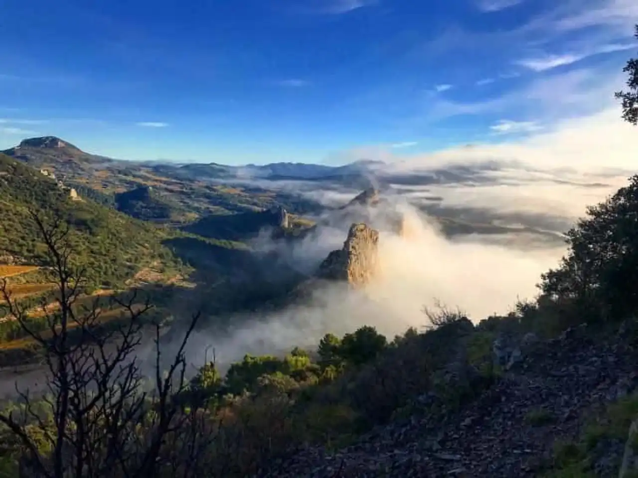
Photo credit: Alltrails
- Duration : about 2h45
- Distance 9.3 km
- Denivelé 532 m
- Difficulty Average
- See the hiking trail
One of the beautiful hikes of Mont Ventoux, which takes place on the side of the nearby Montmirail lace: a natural site at least as well known! This relatively easy circuit still needs to be well-enhanced as there are rocks everywhere.
At the start of Gigondas, known for its wines, this well-marked path leads you through the setting of steep and eroded limestones of the Dentelles de Montmirail, passing through the iconic Rocher du Midi (470 m). A must-see rando in the corner, always on the backdrop, the imposing silhouette of Mont Ventoux.
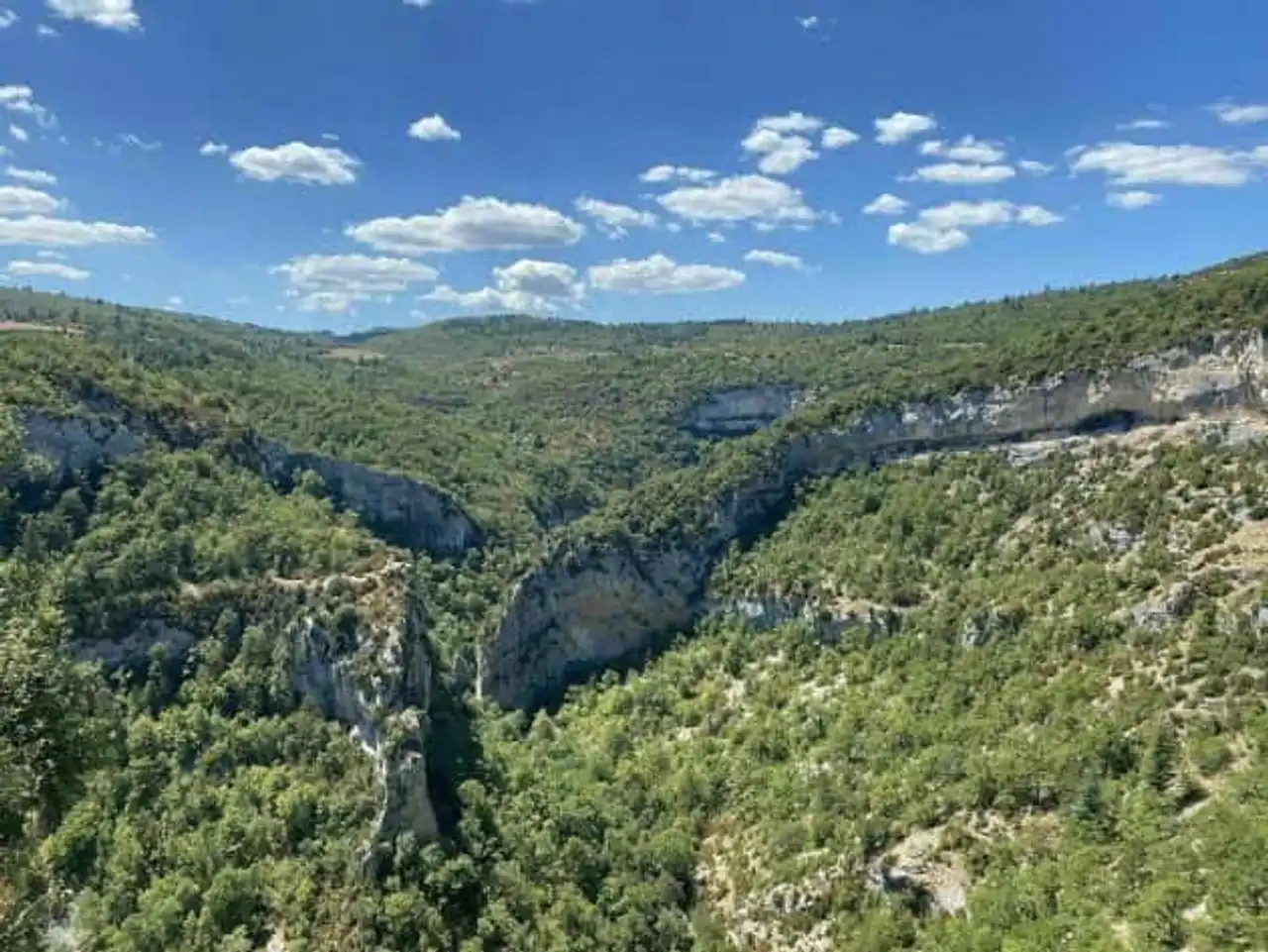
4. The Gorges de la Nesque
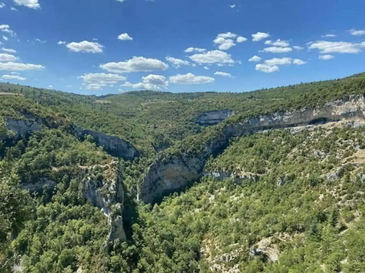
Photo credit: Alltrails
- Duration : about 3h
- Distance 10.1 km
- Denivelé 442 m
- Difficulty Average
- See the hiking trail
After the peaks, this must-see Mont Ventoux hike changes the setting and takes us to the bottom of the Nesque Gorges. The departure is located in the village of Monieux, at the foot of the Ventoux on the plateaus of the Vaucluse Mountains, for a very interesting loop route, a little sporty but accessible.
The very beautiful path leads above the gorges in the first time, before descending all to the bottom of the canyon, via the chapel of Saint-Michel, then goes back to the starting point through the lake of Monieux. A nice rando, for all, half day.
5. The Crests of Arfuyen
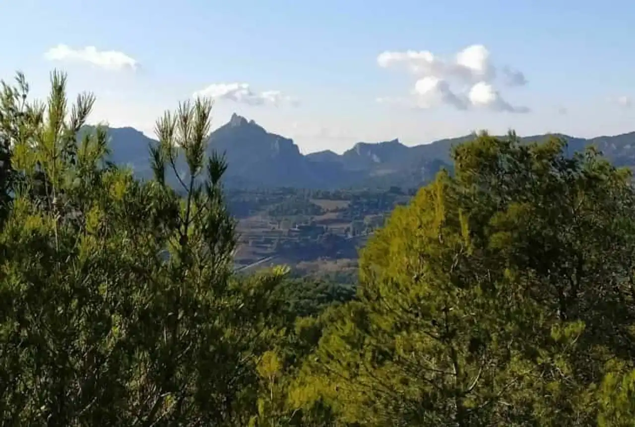
Photo credit: Alltrails
- Duration : about 4h
- Distance 14.8 km
- Denivelé 642 m
- Difficulty Average
- See the hiking trail
Between Ventoux and Dentelles de Montmirail, Malaucène has a truly exceptional situation: the orientation table, in the heart of the village, helps you spot!
Exactly, the aim of this Mont Ventoux hike is to climb on the ridge path above the village, to appreciate the best view possible. With a fairly strong denivell, plan a good half-day walk, or even more to take your time.
6. From Bédoin to Mont Ventoux
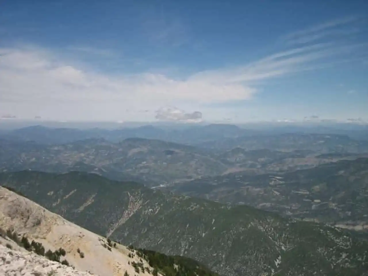
Photo credit: Alltrails
- Duration : about 7am
- Distance 20.9 km
- Denivelé 1 627 m
- Difficulty : Difficult
- See the hiking trail
Here, we're no longer joking with the positive denial... The Mont Ventoux hike from Bédoin is to be reserved for solid legs and lovers of great physical effort: go equipped!
More than 1600 m of denivelé are to climb to reach the mythical summit of the Ventoux, passing through all the floors of vegetation that cover the slope of the mountain, from wooded slopes to mineral peaks: very varied landscapes for a unique ascent!
Leave early in the morning and plan all day to walk, as well as a means of transport to descend.
7. Beaumes-de-Venise and the Rocher de Rocalinaud
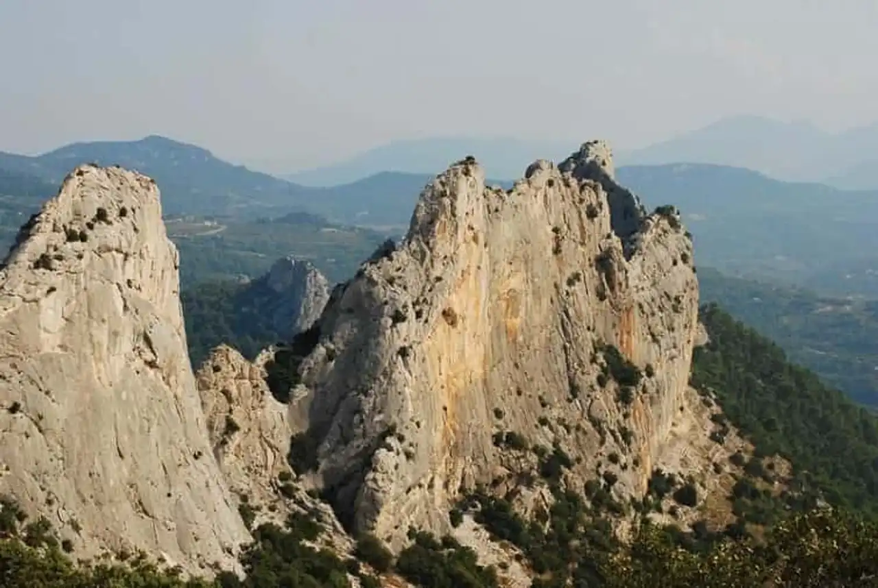
Photo credit: Flickr – JanPhilipp
- Duration : about 2h30
- Distance 7 km
- Denivelé 160 m
- Difficulty Average
- See the hiking trail
Another hike from Mont Ventoux on the side of the Montmirail lace, meet this time in Beaumes-de-Venise!
From the central square, this beautiful trail crosses hilly landscapes covered by vineyards (the village is renowned for the quality of its floods...), to the mysterious Rocher de Rocalinaud, which is surnamed here “leave lunar”... A surprising site, which offers a great view of Mont Ventoux as a bonus!


Loading comments ...