The hiking trails on the Quiberon peninsula and its surroundings are as many as varied: they offer all the latitude to discover, on foot, this region among the most beautiful and interesting in Brittany.
Take your time, enjoy the landscapes, cross villages, historical sites, see the sea and the sky evolve... hiking around the peninsula of Quiberon overlaps with the pleasures dear to walkers. In the image of the mythical GR34, which crosses the whole tower of Brittany through the Quiberon peninsula, the trails of the region are well traced and maintained, appreciated and used both by the premises and by the holidaymakers.
In southern Brittany, the beautiful season of the rando extends from spring to back-season : heat is seldom a discomfort provided that it protects itself from the rays of the sun, and a garment of rain is always provided in case... In winter, when the weather conditions deteriorate, the hike on the Quiberon peninsula can take a spectacular turn, for which does not fear the big weather.
With limited denials, the difficulty is first of all endurance, and the number of kilometers to go. Among the most beautiful hikes around the Quiberon peninsula, make your choice according to your desires and your level, from the pretty family walk to the longer and demanding exit: you have to fill the program with all the holidays!
1. The coastal path of the Wild Coast
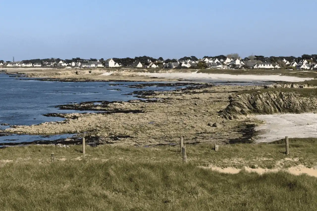
Photo credit: Alltrails
- Duration : about 5h
- Distance 20.6 km
- Denivelé 147 m
- Difficulty Moderate
- See the hiking trail
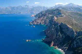
The west coast of the Quiberon peninsula is nicknamed the Wild Coast, due to its cliffs and its exposure to the winds and waves from the Atlantic: a memorable show!
A great classic among the hikes on the Quiberon peninsula, it is quite possible to make this walk from Portivy to Port Maria on the way back, to enjoy the landscape from two different angles, or to adapt a shorter route. On the way, you are sure to take a nice dose of iodine...
A beautiful but also very busy itinerary, probably even more beautiful out of the tourist season, with less world.
2. From coast to coast: north loop of the Quiberon peninsula
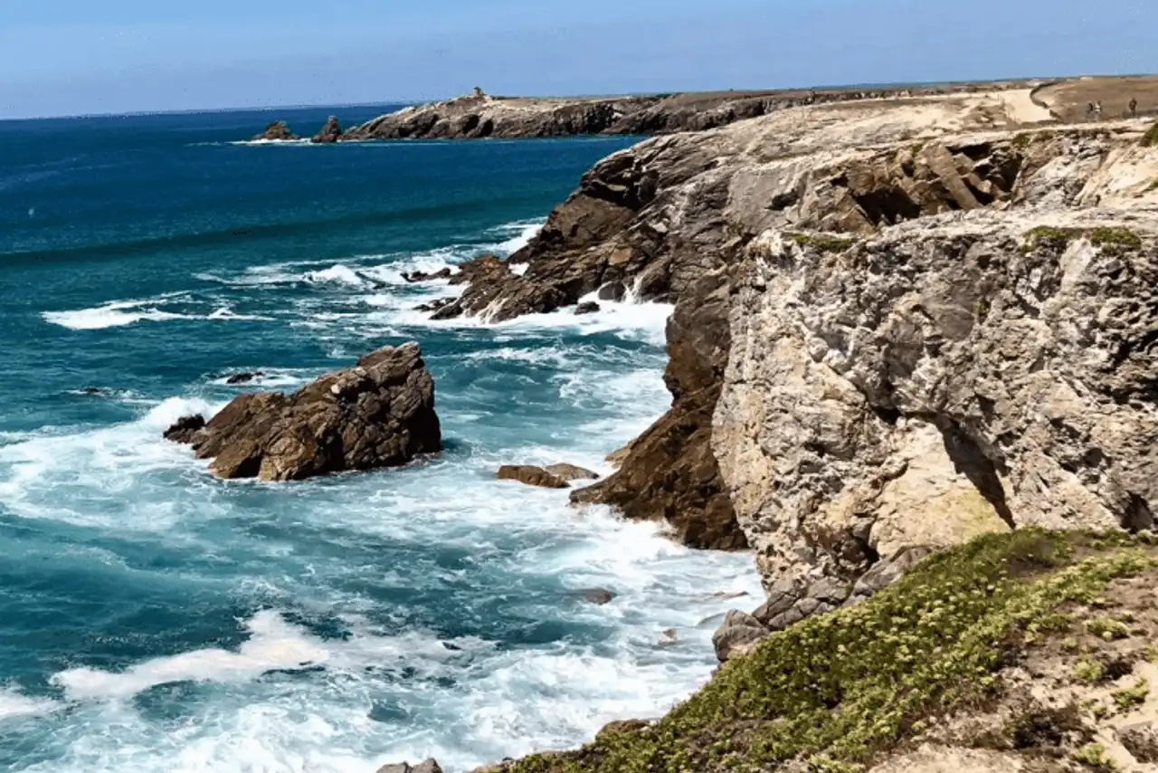
Photo credit: Alltrails
- Duration : about 2h45
- Distance 11.9 km
- Denivelé 98 m
- Difficulty : easy
- See the hiking trail
This variant offers a hike on the Quiberon peninsula in a loop, allowing you to return to your starting point: so you enjoy the two sides of the peninsula, the calm and sheltered East Coast, and the wild and exposed West Coast.
The route crosses Saint-Pierre-Quiberon and Portivy, with various spots to take a break, but also several beaches to get to the water and vary the pleasures. Throughout the course, you will discover the beautiful landscapes of the Quiberon peninsula, remaining on an easy and unfavorable path.
A treat for hikers wishing a beautiful walk accessible at all levels.
3. At the confluence of the rivers of Etel and Sac’h
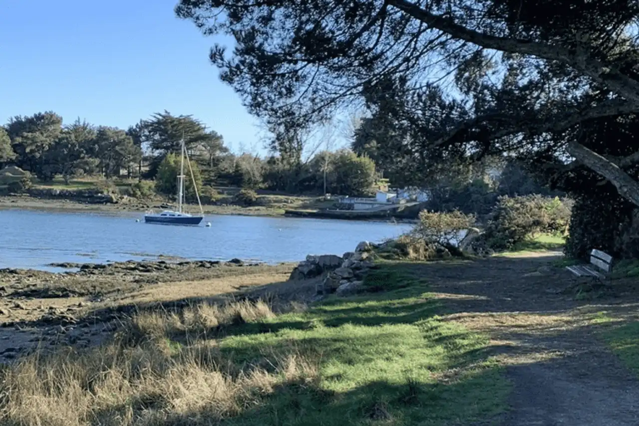
Photo credit: Alltrails
- Duration : about 1h30
- Distance : 6.4 km
- Denivelé 44 m
- Difficulty : easy
- See the hiking trail
Let’s leave the Quiberon peninsula a little further to the small town of Port Niscop, on the side of Belz, about half an hour drive . This very pretty loop takes place at the confluence of the rivers of Étel and Sac’h via the tip of Royanec, through the typical landscapes of Morbihan.
Thus, the ria of Etel, subject to the influences of the tides, has constantly changed its appearance, colors, and scents: a real marine ride with a hint of countryside, for the greatest pleasure of walkers. Without noticeable difficulty and easy level, a hike around the Quiberon peninsula for the whole family.
4. The tour of the island of Houat on foot
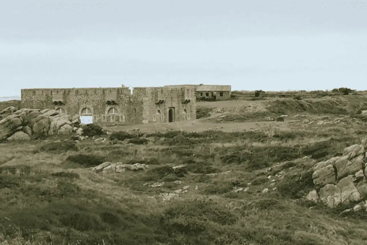
Photo credit: Alltrails
- Duration : about 3h30
- Distance 14.5 km
- Denivelé 207 m
- Difficulty : easy
- See the hiking trail
Among the hikes around the Quiberon peninsula really nice to organize, there are the small islands off the Morbihan, including the island of Houat . To get there, it’s easy: smugglers connect from the port of Quiberon, and the tour completes without problems during the day.
As soon as you arrive in Port Saint-Gildas, you can go on your hike, following the coastal path making the whole tour of the island: water-flowing rocks, granite cliffs, beautiful sandy beaches, transparent water by location... the show is to enjoy from end to end this superb route.
5. The complete tour of the island of Hoëdic
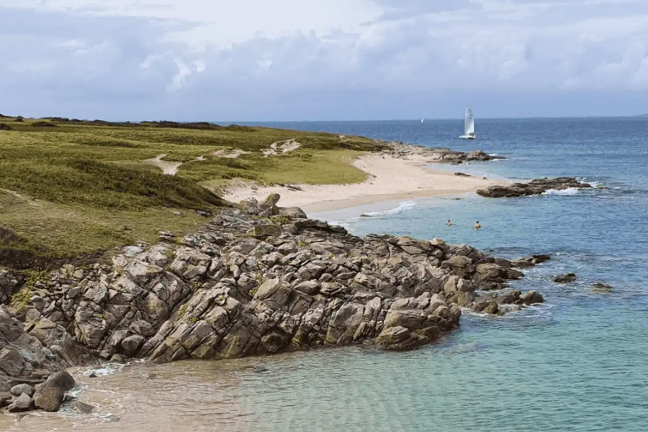
Photo credit: Alltrails
- Duration : about 2 hours
- Distance 9.2 km
- Denivelé : 83 m
- Difficulty : easy
- See the hiking trail
As long as we are in the islands of Morbihan, let’s go for another hike around the island of Quiberon with an island character, this time on the island of Hoëdic . The speech is identical to the previous hike, on Houat: take the boat from the port of Quiberon, with for port of call Port Argol, and then go on with your walk all around Hoëdic.
It is very easy to make the turn of Hoëdic while returning to the port in time for the boat back, without forgetting to make a (or several) swim break on the way, if the weather is ready: it would be a shame to pass next to such a clear water!
6. The tip of Locmariaquer on the Gulf of Morbihan
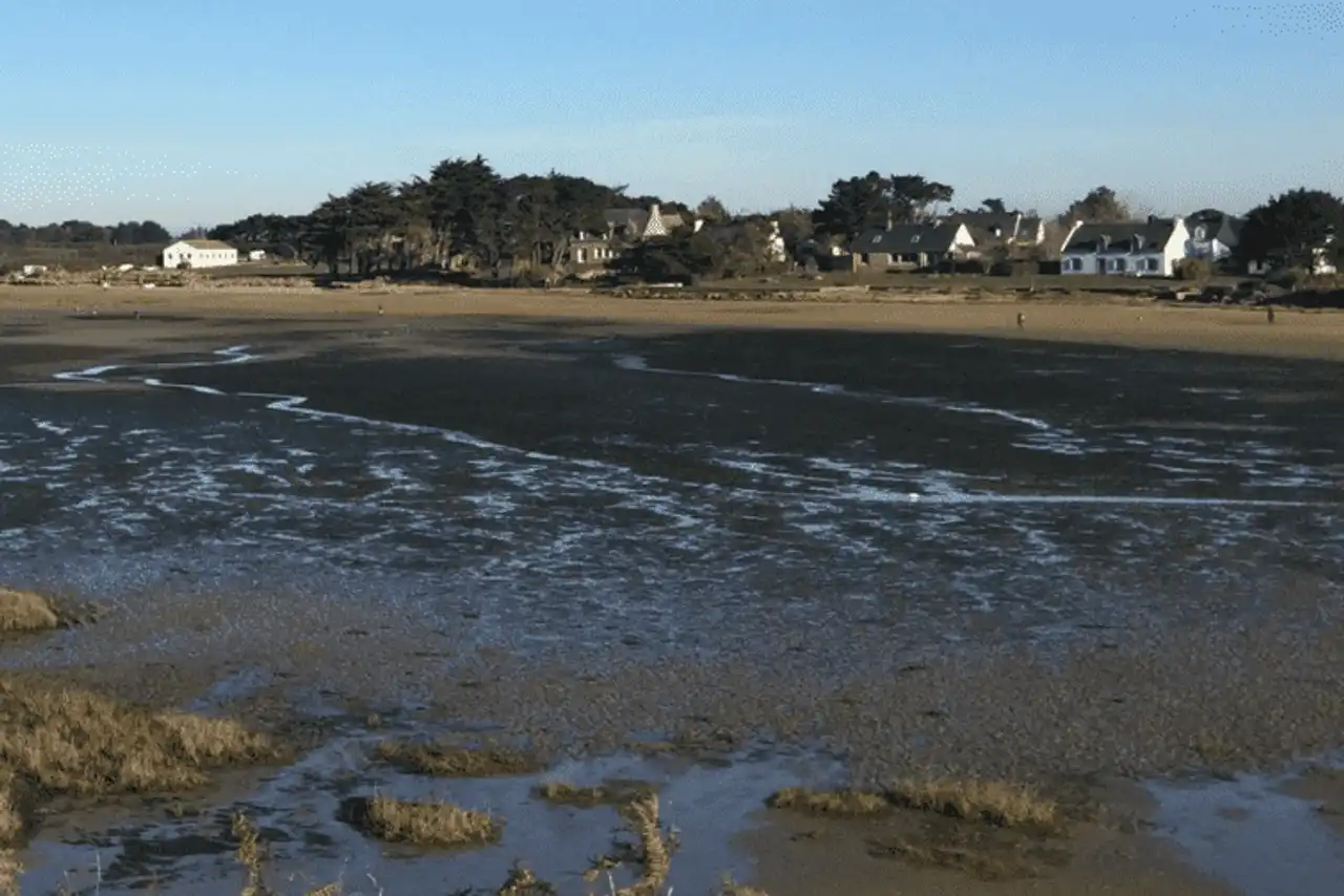
Photo credit: Alltrails
- Duration : about 3h
- Distance 13.5 km
- Denivelé 110 m
- Difficulty : easy
- See the hiking trail
A hike around the Quiberon peninsula to discover the setting of the neighbouring Morbihan Gulf, this very beautiful buckle starts on the side of Locmariaquer, to be discovered 40 minutes drive approximately . The path, coastal and well marked, is easy to follow, while making the open sea air.
You thus walk along the tip of Locmariaquer that closes the gulf, always changing at the edge of the tide, before switching to the Atlantic side, towards Saint-Pierre. Don't miss on the road several megalithic sites as we find it in Brittany, but also a few breaks on the beaches punctuating the walk.
7. The Kerzerho megalith circuit
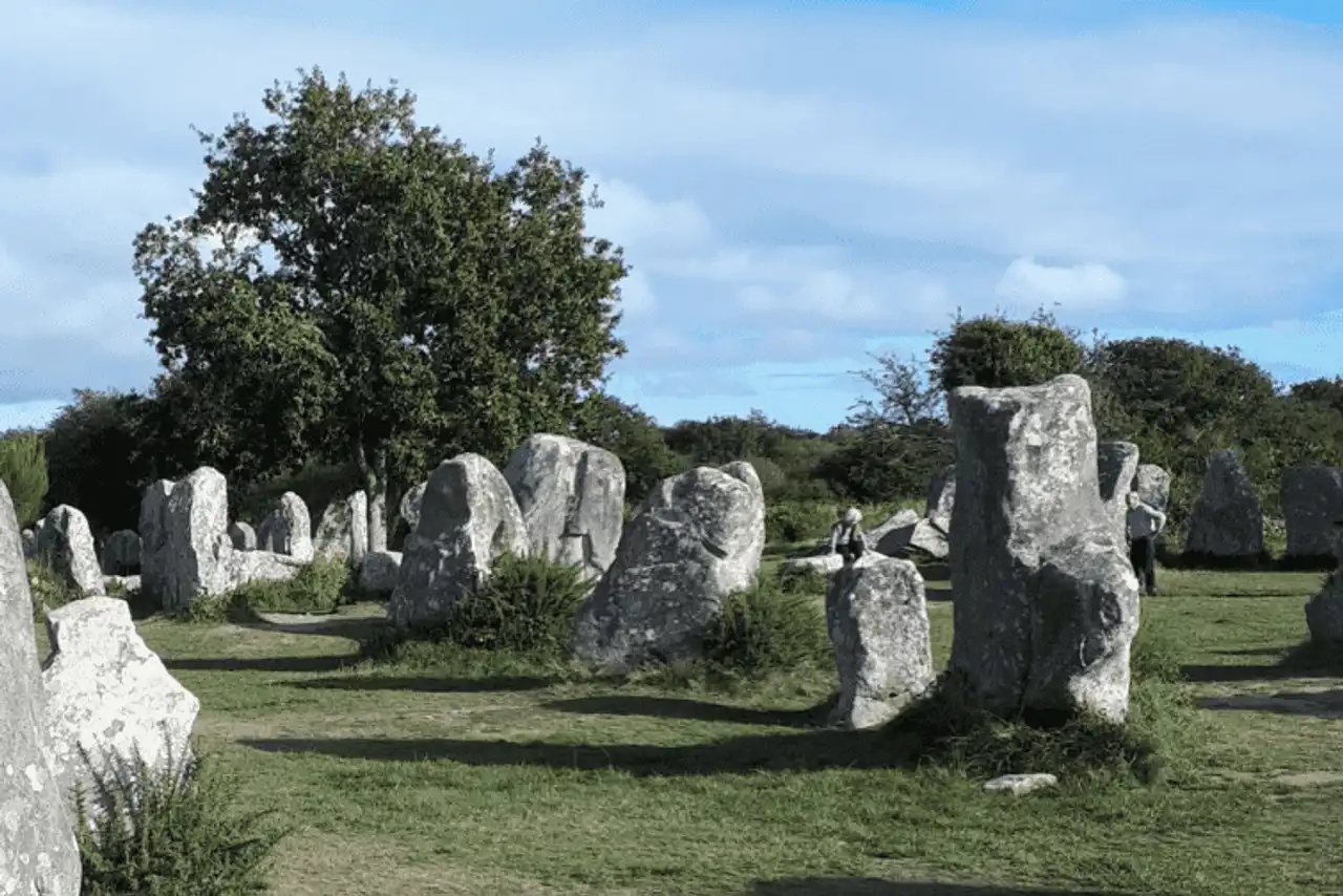
Photo credit: Alltrails
- Duration : about 1h30
- Distance 6.8 km
- Denivelé 54 m
- Difficulty : easy
- See the hiking trail
These famous megaliths are back on Erdeven's side, less than 30 minutes’ drive from the Quiberon peninsula . Less known than Carnac's alignments, less frequented and yet very similar, Kerzerho's megalithes circuit gathers no less 190 menhirs !
With free, easy and family-recommended access, this pretty hike around the Quiberon peninsula gently sinks into the forest, via small roads marked and sprinkled with various megalithic vestiges, mixing in the same walk, nature and local legends.
8. The Conguel Point from Quiberon
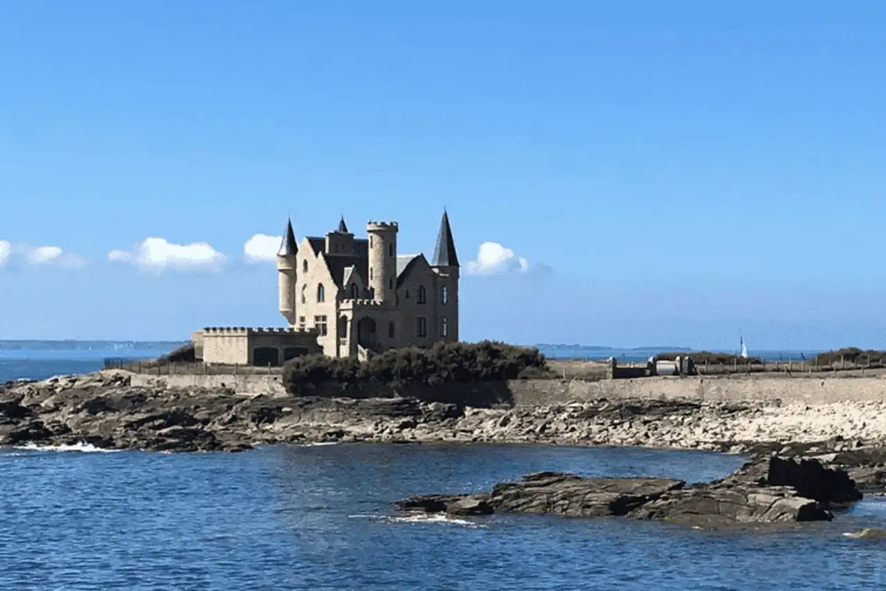
Photo credit: Alltrails
- Duration : about 2h30
- Distance 11.6 km
- Denivelé 114 m
- Difficulty Moderate
- See the hiking trail
The aim of this walk will be to hike on the Quiberon peninsula to its south end, the Conguel Point. The route starts directly in the town of Quiberon, at the Port Halliguen level.
We quickly escape from the city to follow beautiful sandy beaches before reaching the tip of the Conguel and its shaved vegetation, beaten by the winds. Here is a beautiful marine panorama, with the Gulf of Morbihan and the offshore islands, Houat, Hoëdic and Belle-Île-en-Mer . We don't leave the coast on the way back, before entering Quiberon, via Port Maria, to find its starting point.
9. The loop of Saint-Philibert
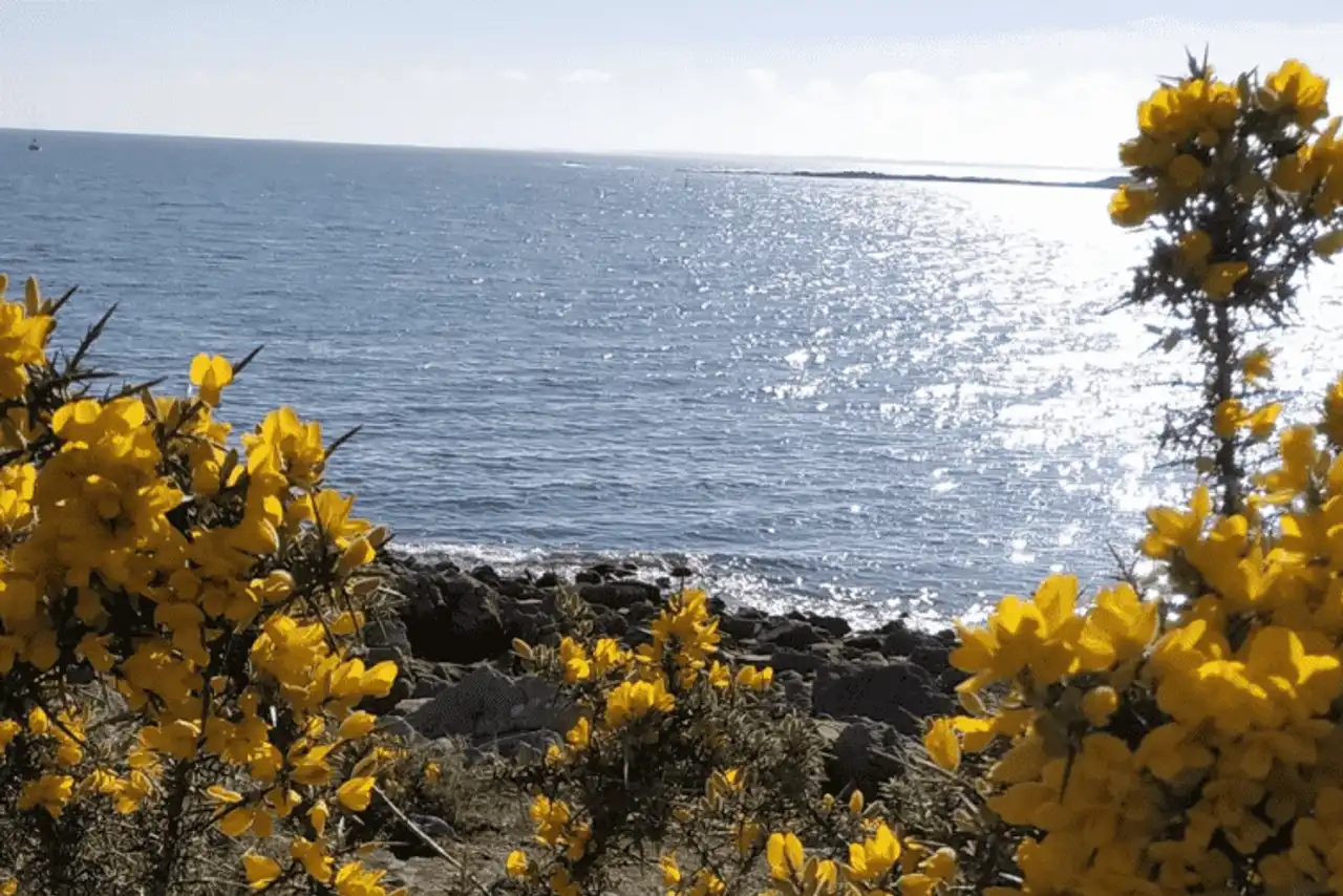
Photo credit: Alltrails
- Duration : about 2h15
- Distance 9.5 km
- Denivelé : 81 m
- Difficulty : easy
- See the hiking trail
Saint-Philibert is another of these charming villages that we find everywhere in the Morbihan. To reach the start of this hike around the Quiberon peninsula, count 30 minutes by car , via the Trinidad-sur-Mer , then leave the car at the village level.
Afterwards, the route is entirely along the coastline, pushing to the peaks of the beautiful beaches of Men Er Beleg and Kernevest, before returning to the village by the residential areas and the country roads. A nice and easy level ride, to practice the legs half day.
10. Carnac alignments
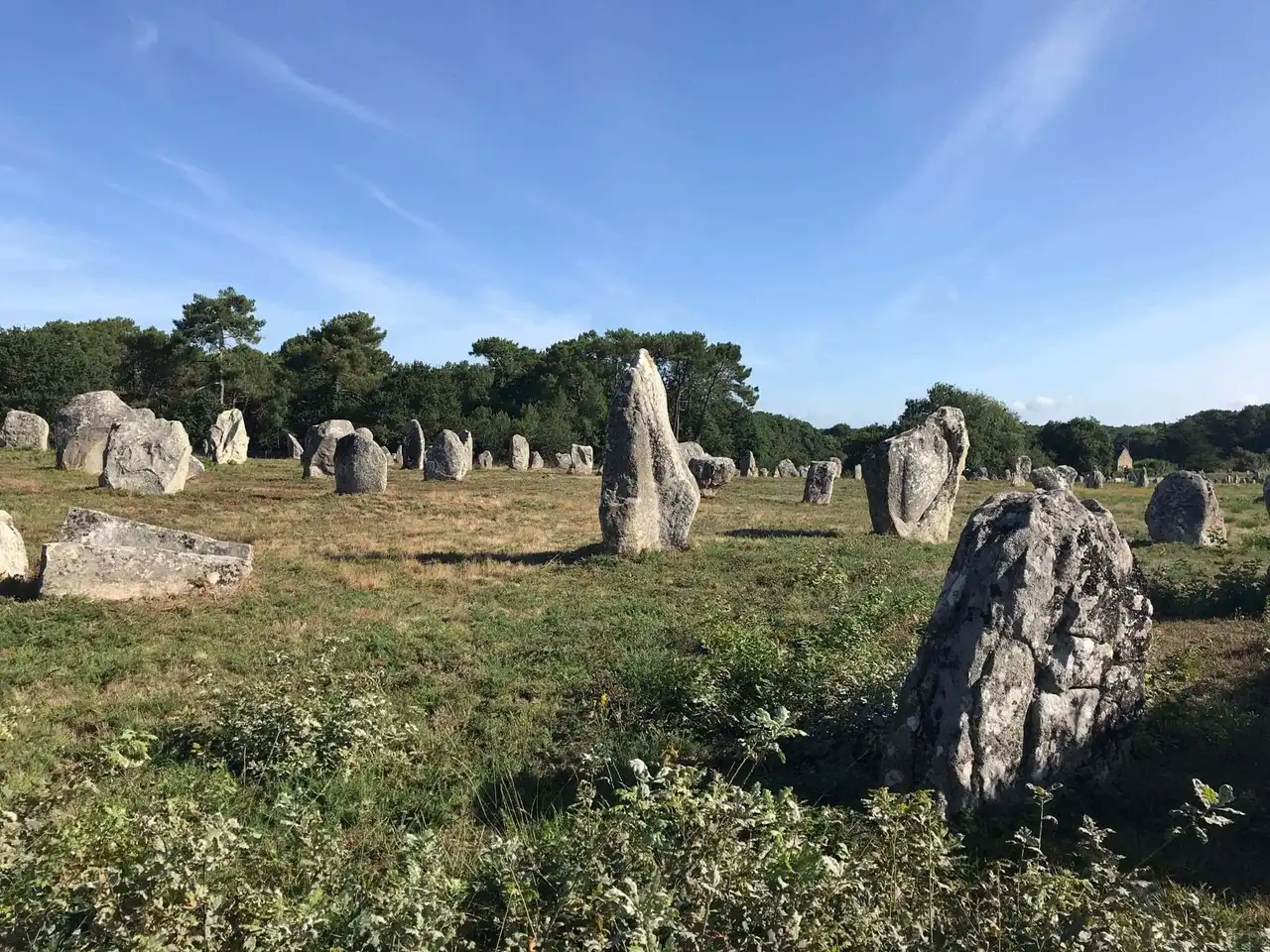
Photo credit: Alltrails
- Duration : about 2 hours
- Distance 8.4 km
- Denivelé 136 m
- Difficulty : easy
- See the hiking trail
Famous beyond Morbihan’s borders, Carnac’s alignments remain a surprising site, and one of the world’s largest megalithic ensembles. This testimonial of prehistory remains nestled with mystery when it is not too crowded, which is rare: prefer the low season to make this hike around the Quiberon peninsula.
Count this 20 minutes drive to reach the departure of the circuit, at the Maison des Mégalithes. Free to you to deepen the visit before or after the discovery of all the alignments of Carnac through which you lead this route: the alignments of Menec, the alignments of Kermario and the alignments of Kerlescan. The megaliths will have no secret for you!



Loading comments ...