Whether you have adventure in the skin or simply need a bowl of fresh air, the Donon has great views and archaeological trails. He will undoubtedly charm you, if you are passing through the Vosges this massif is not to be missed.
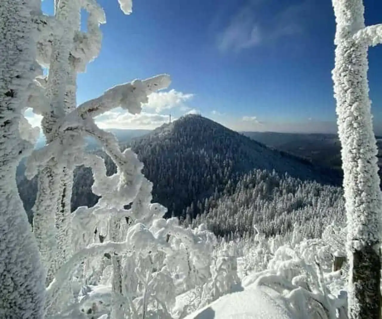
The Donon massif culminating at more than 1,000 meters above sea level in the heart of the Vosges, represents the perfect encounter between nature and History. A place of refuge and recollection, from prehistory he was associated with a sacred character which followed him over time. Aside from the rest of the world, this massif offers a grandiose view of the Bas-Rhin while taking a unique and timeless look.
Many hiking trails exist today, but few are full of prehistoric monuments and objects dating from the third millennium BC. In a sporting, mystical and historical atmosphere, we offer 4 tracks through which nature will transport you in time.
1. The East Donon Tour
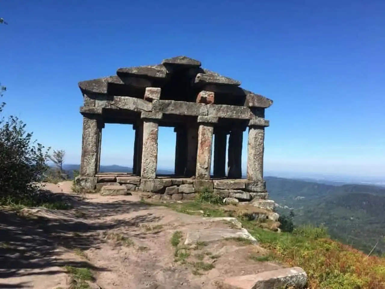
Photo credit: Alltrails
- Duration : about 2 hours
- Distance 6.6 km
- Denivelé 330 m
- Difficulty Average
- See the hiking trail
Located near Grandfontaine, the Donon East Tower is a superb hike to discover a beautiful and busy nature in History. The trail is very well marked, it will lead you to the highest point of the Donon located at 1,009 meters above sea level.
You will access it by following the path of the Sarrazins, an ancient path, then crossing the rainwater tank. The place is sublime, leaving a temple in the middle of nature.
If you want to discover the Donon massif, this hike is a must. The course is accessible and its ascent requires no technicality. Famous for its Gallo-Roman remains, the Donon Tower represents a true course of open-air history.
2. The Two Donons
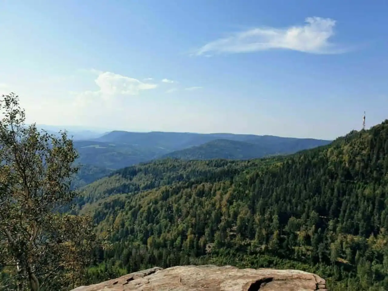
Photo credit: Alltrails
- Duration : about 4h30
- Distance 12.6 km
- Denivelé 530 m
- Difficulty : Difficult
- See the hiking trail
If you want to increase your endurance a little, the two Donons tower is ideal. Allowing access to the two summits with the GR5, this hike around the Donon will allow you to cross all of the historical and archaeological vestiges while enjoying superb views during the ascent.
On this trail, it is best to plan good hiking shoes, the course can indeed be steeped in places. However, in view of the number of hikers taking this loop, the difficulty should not in any way discourage you.
In the middle of the season, the two-Donons are very successful, so we advise you to leave early. You can take the time to enjoy the different points of view quietly without looking to flee the world. Have a little day to enjoy the beauty of the place without rushing.
3. The Little Donon by the Chemin des Stèles
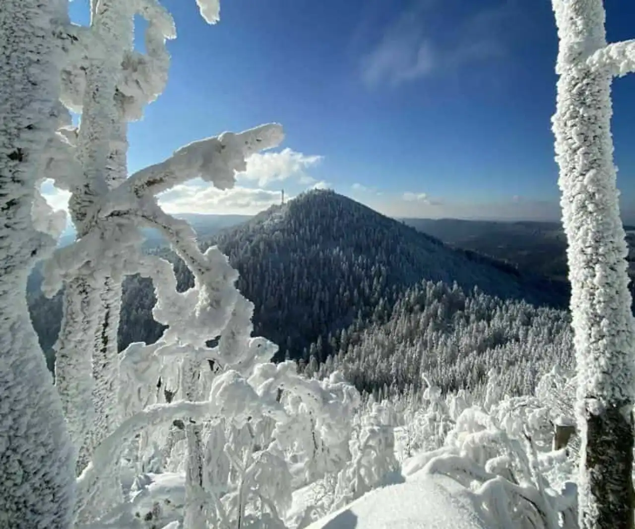
Photo credit: Alltrails
- Duration : about 1h
- Distance 4 km
- Denivelé 157 m
- Difficulty Average
- See the hiking trail
To discover a new facet of history through the Vosges, direction the little Donon by the way of the Stèles. The hike takes the state forests of the town of Wisches, offering a majestic undergrowth surrounded by beautiful views.
The route brings us back to the First World War with the presence of former German fortifications: the bunkers and the stele of the little Donon. You will then find this and there on the path of the tombs of German and French soldiers.
Aside from the sun’s rays, this hike around the Donon is a real breath of fresh air in the summer, and the snow-covered forest is just as fairy in the winter when it comes to snowshoeing. This fast 4-kilometre loop is the ideal to discover the history of the Donon without having to provide too much effort.
4. From the Rock of Mutzig to the Two Donons
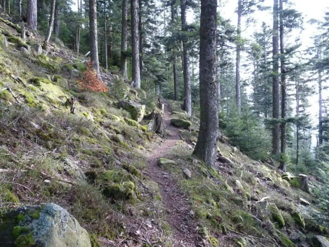
Photo credit: Alltrails
- Duration : about 3h
- Distance 34.3 km
- Denivelé : 1 367 m
- Difficulty : Difficult
- See the hiking trail
In a slightly more sporty register, the Tour du Rocher de Mutzig to the two Donons is also a sublime hike in the region. Indeed, from the top of its 1,008 meters above sea level, the top of the rock of Mutzing makes great competition in the Grand Donon. From a distance of 34 kilometers, the trail is ideal for hiking, cycling and mountain biking enthusiasts.
Moreover, it does not present any particular difficulty if it is not its length. And if the circuit seems to you in theory more complicated than others to realize, it has two big advantages:
- He is less frequent and therefore allows you to enjoy hiking in all privacy;
- But he also lends himself extremely well bivouac. So if you want to make a beautiful adventure and try a unique experience with a wake-up in the middle of nature, the hike from Mutzig to the two Donons is made for you.
You will encounter beautiful views of this path that it is best to take early. Due to the length of the hike, we also recommend that you have a forehead, especially if you use this route on the winter seasons during which the days are shorter.
Similarly, the local bakery has an excellent reputation, so enjoy a small stop in one of them to anticipate the lunch break! One thing is certain, with such beautiful panoramas, you will not regret the adventure.


Loading comments ...