
Explore the Occitania and discover its treasures: here is our selection of the most beautiful hikes to do around Gruissan.
Gruissan is a small town nestled in the heart of the Narbonnaise Regional Natural Park in the Aude. This authentic commune shared between land and sea is a tourist must in the region. If its old village is full of jewels of the Languedoc heritage, the site also hosts two marinas and the seaside resort of Gruissan-Plage.
Gruissan, it is a sumptuous natural setting that you enjoy exploring on foot. Its surroundings are not in the rest with varied landscapes that will seduce the fans of rural escapades. To convince you, here is our list of the best hikes to do around Gruissan. Let’s go for the ride!
1. The tower of the Doul pond
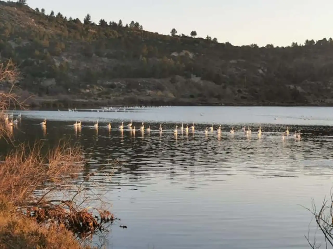
Photo credit: Alltrails
- Duration: about 1h30
- Distance: 6.3 km
- Deranked: 92 m
- Difficulty: easy
- See the hiking trail
Close to Peyriac-de-Mer , the tower of the pond of the Doul is a nice course in the heart of the Salines of the Narbonnaise Regional Natural Park. During this hike around Gruissan, you can admire beautiful views of the surrounding area from the Berrière rock.
Here, the trace takes the form of a rather caillious path . So we advise you to equip yourself with good shoes before, perhaps, to cross some pink flamingos! This is short route preferably at the end of the afternoon to enjoy the sunset and its magical reflections in the marsh water.
2. The path of the Clape
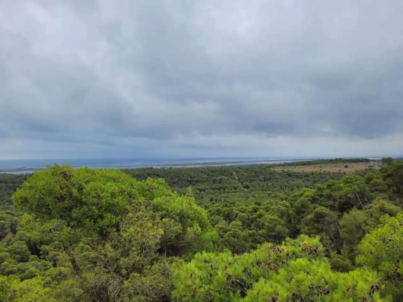
Photo credit: Alltrails
- Duration: about 4h
- Distance: 14.8 km
- Deranked: 414 m
- Difficulty: difficult
- See the hiking trail
The Clape trail crosses the massif of the same name, a site classified for its landscapes and its rich biodiversity. This hike around Gruissan for four hours starts at Notre-Dame-des-Auzils parking . It runs through various landscapes: garrigue, rocky canyon, forest and views of the Mediterranean coast.
We even think we appreciate them short "physical" passages which puts the calves under strain. Slightly. well marked , the path of the Clape turns out to be the ideal place to take a summer hike... encouraged by the singing of the cicadas, of course.
3. The tower of the pond of Gruissan
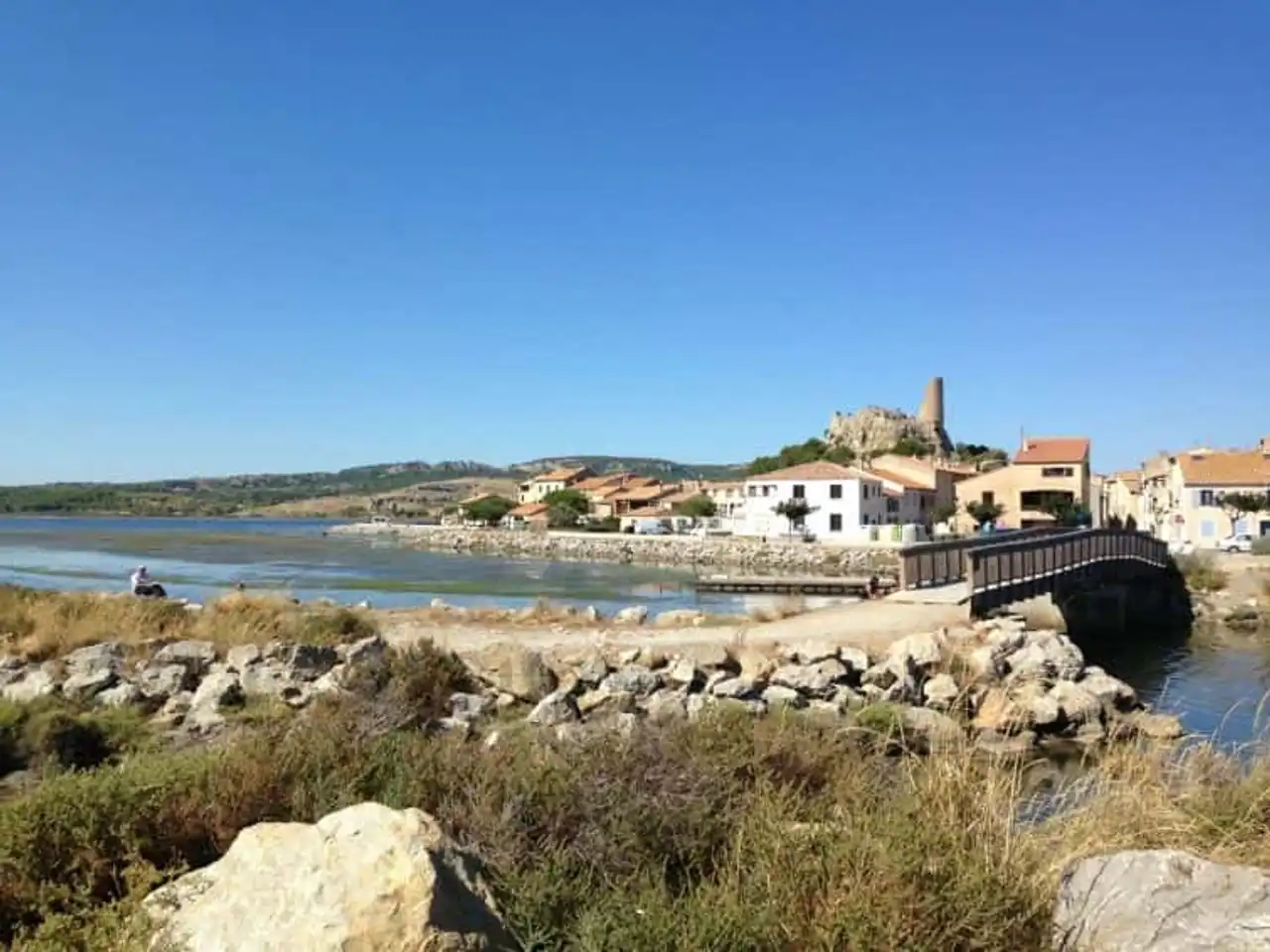
Photo credit: Alltrails
- Duration: about 1h
- Distance: 6 km
- Deranked: 23 m
- Difficulty: easy
- See the hiking trail
Gruissan is a renowned seaside resort in the department of Aude. Just in front of its port is a parking lot, which serves as the starting point of this rando. This, six kilometres long, is easy like everything and especially pleasant in all seasons. It towers the saumat waters of the Gruissan pond, which hosts pink flamingo placides.
If you have the chance to go there in winter, you can attend their love season. The loop offers a beautiful view of Gruissan and the Barberousse Tower... and the possibility to offer a little local salt flower. This star product of the best tables in the region will delight the taste buds of the whole family. Miam!
4. Le Clos Sainte-Lucie
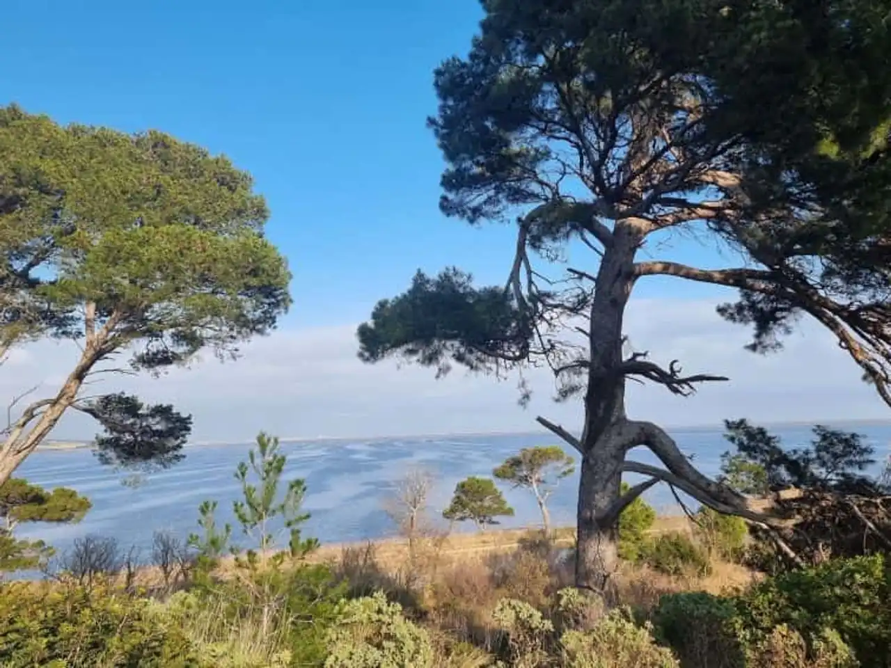
Photo credit: Alltrails
- Duration: about 1h30
- Distance: 7.7 km
- Deranked: 65 m
- Difficulty: easy
- See the hiking trail
Welcome to Port-la-Nouvelle, in the Narbonnais country, known for its long sandy beaches and ponds. It is also at the level of the salins of Saint Lucia that starts this short and accessible route . It passes through the Lock House of Saint Lucia and runs along the Robine canal over several hundred meters.
Then it passes through characteristic marshes, continues to the Saint-Antoine rock and Vigie before returning to the starting point. All along the way, this Family hiking offers beautiful panoramic views of the surrounding area.
Attention : our four-legged friends will have to take their turn, they are not allowed to walk the way.
5. Walk in the massif of Fontfroide
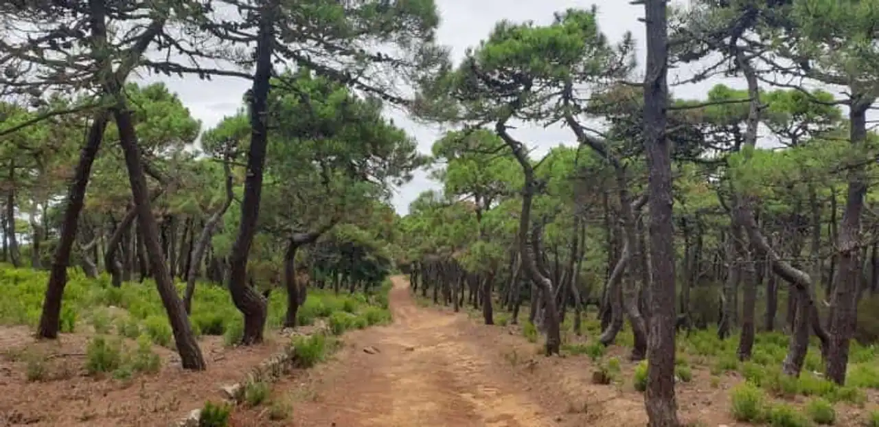
Photo credit: Alltrails
- Duration: about 2h30
- Distance: 10.1 km
- Deranked: 213 m
- Difficulty: easy
- See the hiking trail
Near Saint-André-de-Roquelongue and Bages, the dense and mysterious pine forest of Fontfroide has attracted the curious for centuries. The Romans, for example, since it is crossed by the Domitian way, built to connect the Iberian Peninsula and Italy. The monks also, by the way, since this hike around Gruissan part of the Cistercian Abbey of Fontfroide , on the edge of pinewood.
This circuit is carried out in a little over two hours, guaranteeing to those who borrow breathtaking views of the Corbières, the Pyrenees and the Audois coastline. Ombragé , this easy path is perfect for a summer outing with family or friends.
6. The circuit of the vineyards of Portel-des-Corbières
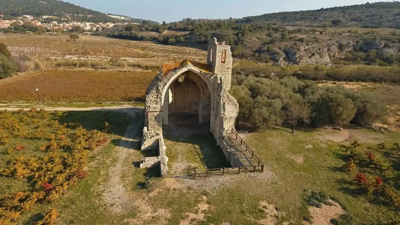
Photo credit: Alltrails
- Duration: about 2 hours
- Distance: 7.4 km
- Deranked: 156 m
- Difficulty: Moderate
- See the hiking trail
The Corbières massif is a region of medium mountain, with limestone and shale terrain, enjoying a Mediterranean climate. This limestone chaos forms the transition between Central mass and Pyrenees . Its terroir known for the prestigious AOC winery eponymous is willing to walk, especially on the Portel side. In the vineyards of the commune, this hike around Gruissan composes a nice course.
Careful, is particularly exposed to wind who, sometimes, can blow hard. This is ideal for grapes, sometimes less for walkers with hats or caps. Fun detail: you will have the opportunity to observe... lamas at the beginning of a walk. A farm is on your left, when you arrive!
7. Nice buckle in the vicinity of Cape Leucate
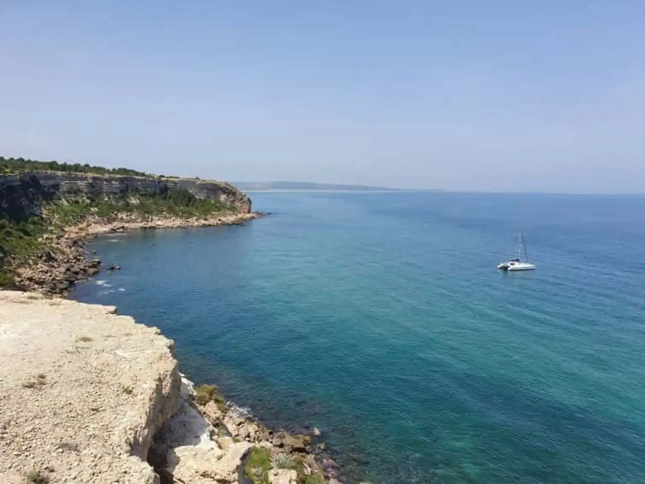
Photo credit: Alltrails
- Duration: about 2 hours
- Distance: 9 km
- Deranked: 128 m
- Difficulty: easy
- See the hiking trail
It is in the vicinity of Leucate that we take you, more precisely on the Fort road . It connects the Cape of the Brothers to the Cap Leucate lighthouse and the shoreline of the commune for about ten kilometres. Falaises, coves, small beaches, vineyards: the diversity of landscapes is remarkable. The trail of this hike around Gruissan offers magnificent views of the eight kilometers of fine sand of the resort of La Franqui, which you will admire before entering the descent to the finish car park.
Easy. , this walk is perfect for a family afternoon under the sign of relaxation. However, you are advised to do this in low season because the itinerary is one of the most frequented in the region .
8. The Gouff of the Sweet Eye
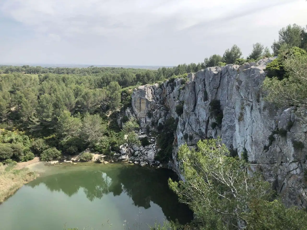
Photo credit: Alltrails
- Duration: about 2 hours
- Distance: 9.2 km
- Deranked: 130 m
- Difficulty: Moderate
- See the hiking trail
What a lovely name for an alternate route between agricultural landscapes and wooded paths in the heart of the Clape massif. Near Saint-Pierre-la-Mer , the itinerary passes through the sheepfold of the Oustalet. There is a mini farm to be discovered for free as well as an exciting eco-musée that is worth a visit. Then, you will reach the famous site of the Sweet Eye, a crib surrounded by very high limestone walls.
A flash? It is a gouff in karstic environment, totally or partially filled with water. This must-see tourist spot of the local heritage is the pride of this spectacular rando, rather easy but scary . Good shoes closed for everyone, it’s essential!
9. The loop of Port Mahon
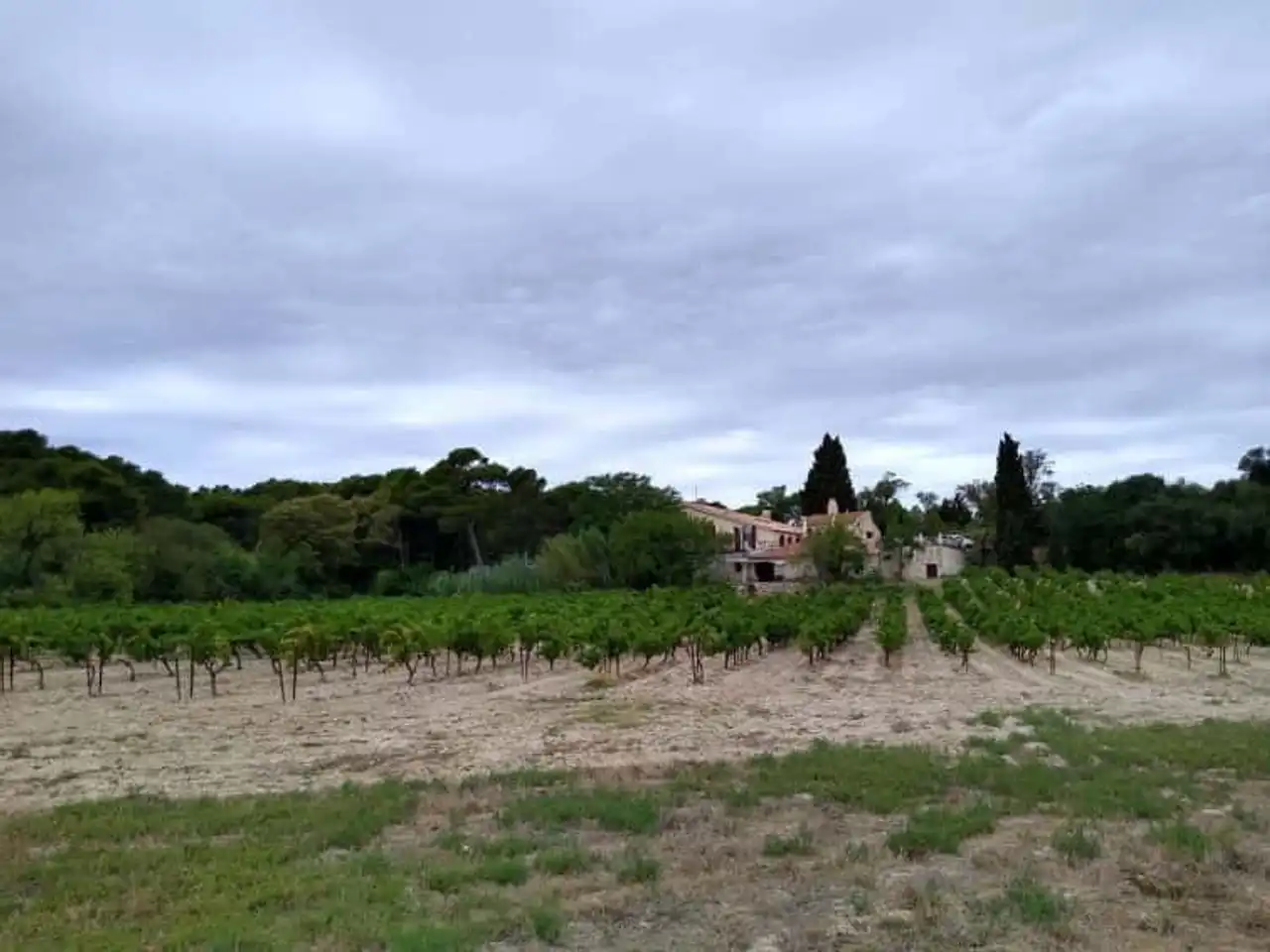
Photo credit: Alltrails
- Duration: about 1h30
- Distance: 8.4 km
- Deranked: 38 m
- Difficulty: easy
- See the hiking trail
Welcome to the hamlet of Aragnou, a village on the banks of the river La Berre. Your journey will take you on the waterfront of Port Mahon, which overlooks the pond of Bages and its salins. This bucolic buckle gives the opportunity to explore charming small paths of the Sigean wine region. The low denial and the possibility of refreshing allows you to enjoy the family route and to initiate the smallest to the joys of walking.
And in the discovery of the heritage, too: the presence of the Corbières Museum will be appreciated in the old town. It houses a rich collection of archaeological objects from the excavations of Pech Maho’s Oppidum and many other exciting treasures.
10. Bouis hike
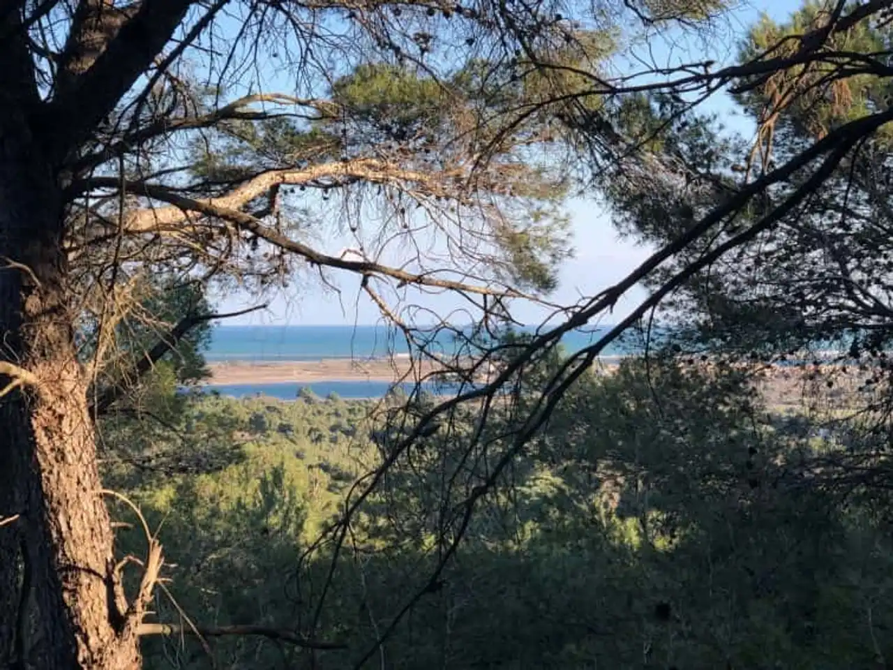
Photo credit: Alltrails
- Duration: about 1h30
- Distance: 6 km
- Deranked: 148 m
- Difficulty: easy
- See the hiking trail
Between wood and scrubland, this hike around Gruissan is made from the house of the sellers . It winds in the middle of the hills of the Clape massif to the stream of the Combe de Tintaine that you will cross. We can only imagine it now but know that there would have been a Roman port here in the Ir century of our era. We can still see the vestiges of what seems to be an ancient lighthouse...
The sea was then shattered on the cliffs that formed a handle protecting the sailors from the prevailing winds. Observe these reddish rocks: their amazing color is due to the presence of iron oxide. Don’t miss going to see the noria of Tintaine, a well revealing the presence of a groundwater table, and the surrounding dry stone cabanons. A real jump in time!


Loading comments ...