
Are you looking for the best hiking trails around Antibes? Coastal path, walk in the forest, discovering meridional summits... Discover the Côte d’Azur's pears!
Between its beautiful beaches and its charming city center, Antibes is an emblematic destination of the Côte d’Azur . It is famous for its dream beaches and its charming city center, but less for its hikes. And yet, its surroundings are home to beautiful trails that oscillate between beaches, undergrowth and mountain! Want to find out? Find the best hikes around Antibes.
1. The course of Antibes via the trail of Tire-Poil
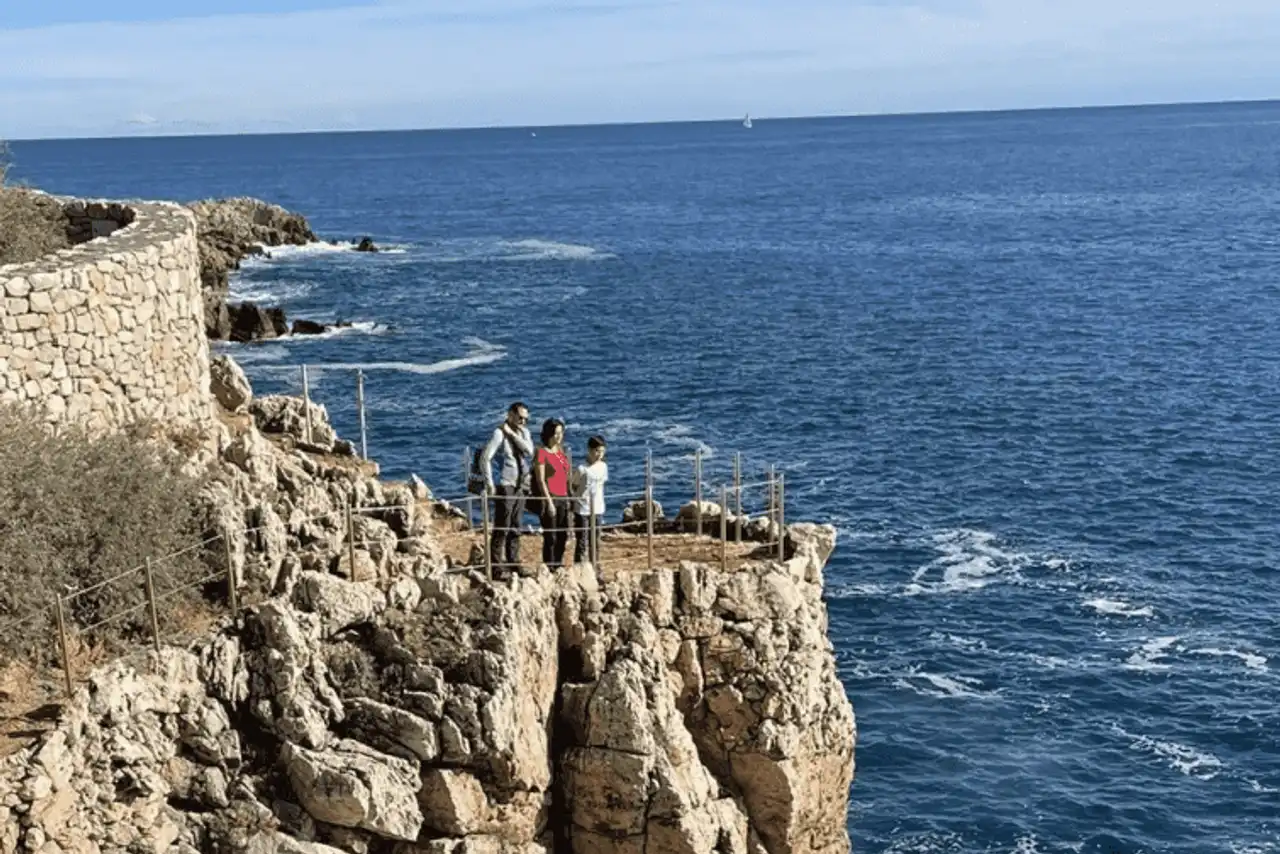
Photo credit: Alltrails
- Duration : about 1h10
- Distance 4.7 km
- Denivelé 59 m
- Difficulty : easy
- See the hiking trail
Are you looking for a nice family trip after enjoying the alleys of the old town and its restaurants? Go to the beach of the Garoupe to discover the course of Antibes! You will follow the trail of Tire-Poil, section of the famous Douaniers Trail, which owes its name to the strength of the winds that sweep the coastline.
Throughout this hike that blends sun and softness, you will cross iconic villas of the Mediterranean. At the end you will arrive on beautiful rocky beaches. Go explore the small coves and let yourself be golden in the sun... Easy and very well appointed, Tire-Poil is known to be one of the most beautiful hikes in the French Riviera.
2. The Tamarin Trail and the Brague Trail
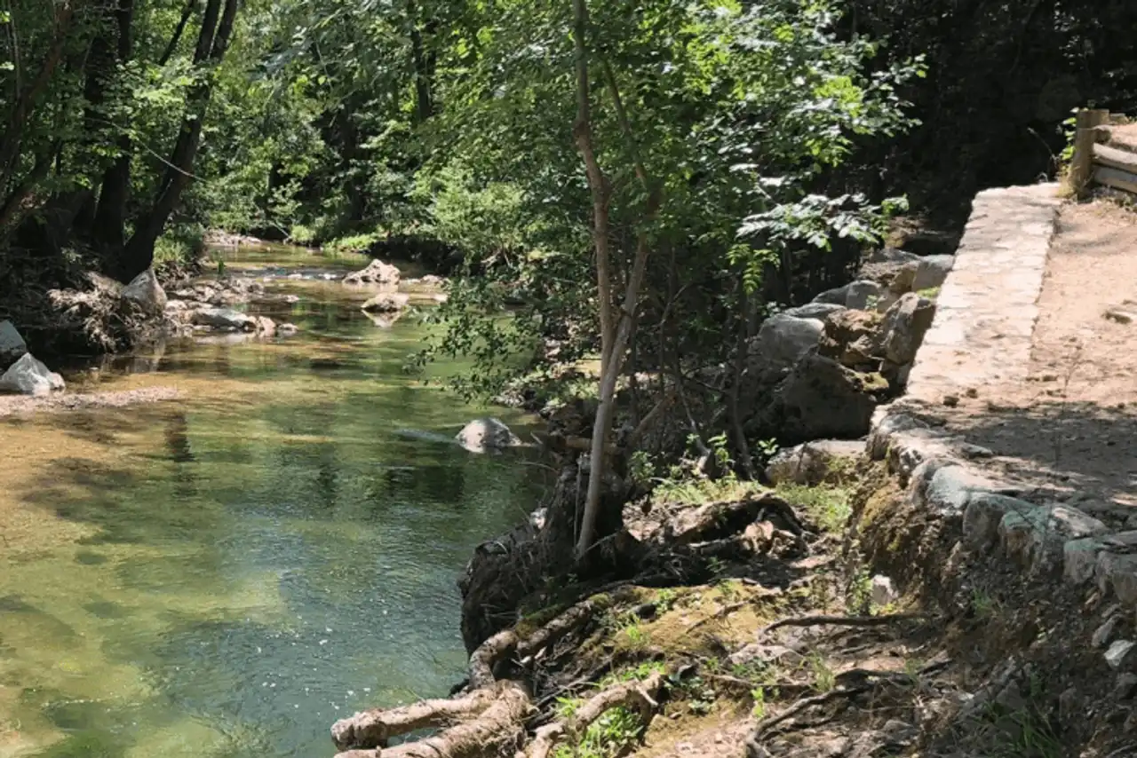
Photo credit: Alltrails
- Duration : about 2h30
- Distance 7.9 km
- Denivelé 217 m
- Difficulty : easy
- See the hiking trail
Want a moment of escape during your stay on the French Riviera? This hike around Antibes starts in Sophia Antipolis, about 20 minutes by car from the city centre. It follows the Tamarins trail and the discovery path of Brague, offering intimate and bucolic landscapes. At the end of the trail you can admire the beautiful Bruget waterfall from the stone bridge.
A shady path that runs along the river, away from the tumult of the coast: an ideal option to cool off in the summer! In addition, hiking is very accessible. You can safely take your children, and the dogs are welcome.
Attention : Make sure to check the route before you start. The path is not always well marked and some sections are out of reach.
3. The loop of the Valmasque
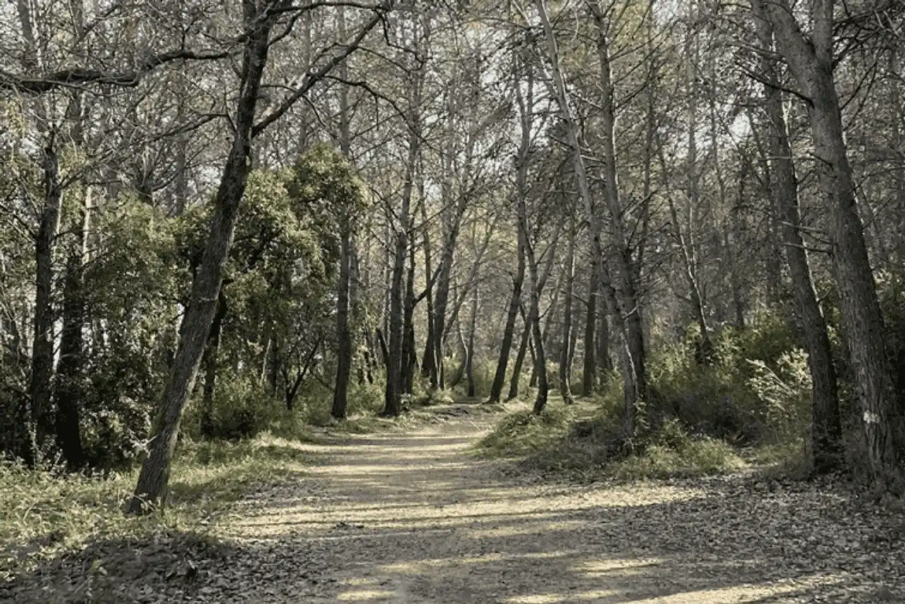
Photo credit: Alltrails
- Duration : about 3h45
- Distance 12.6 km
- Denivelé : 279 m
- Difficulty Average
- See the hiking trail
This hike around Antibes is ideal for discovering the beauty of forests Alpes-Maritimes . And because of this, it makes you explore beautiful forest trails, which alternate between pine forests and oak forests. Very well equipped, it can be travelled on foot or in mountain biking. The climbs and descents invite a little sporting challenge to this beautiful course.
The start of the hike is in the heart of Valbonne, about 30 minutes by car from Antibes.
4. Fort Carré via the coastal path
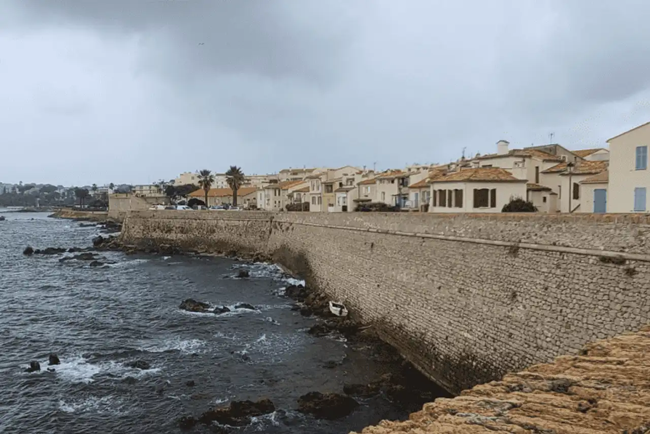
Photo credit: Alltrails
- Duration : about 3h20
- Distance 12.2 km
- Denivelé 121 m
- Difficulty : easy
- See the hiking trail
Built in the 16th century under the reign of Henri II, Fort Carré is a must-see. Its star-shaped walls draw an emblematic silhouette of the cap of Antibes. Then why not discover it as part of a hike?
Go to Fort Carré to start the route to Juan-les-Pins. You will follow a part of the coastline, crossing a multitude of beautiful beaches: the Gravette beach, the Ondes beach, the Gallice beach... You will also have the opportunity to stroll on the port of Salis and the port of the Croûton. Not to mention the views on the bay Nice , snowy mountains and the blue line of the Mediterranean. A delight!
5. Sainte-Marguerite Island
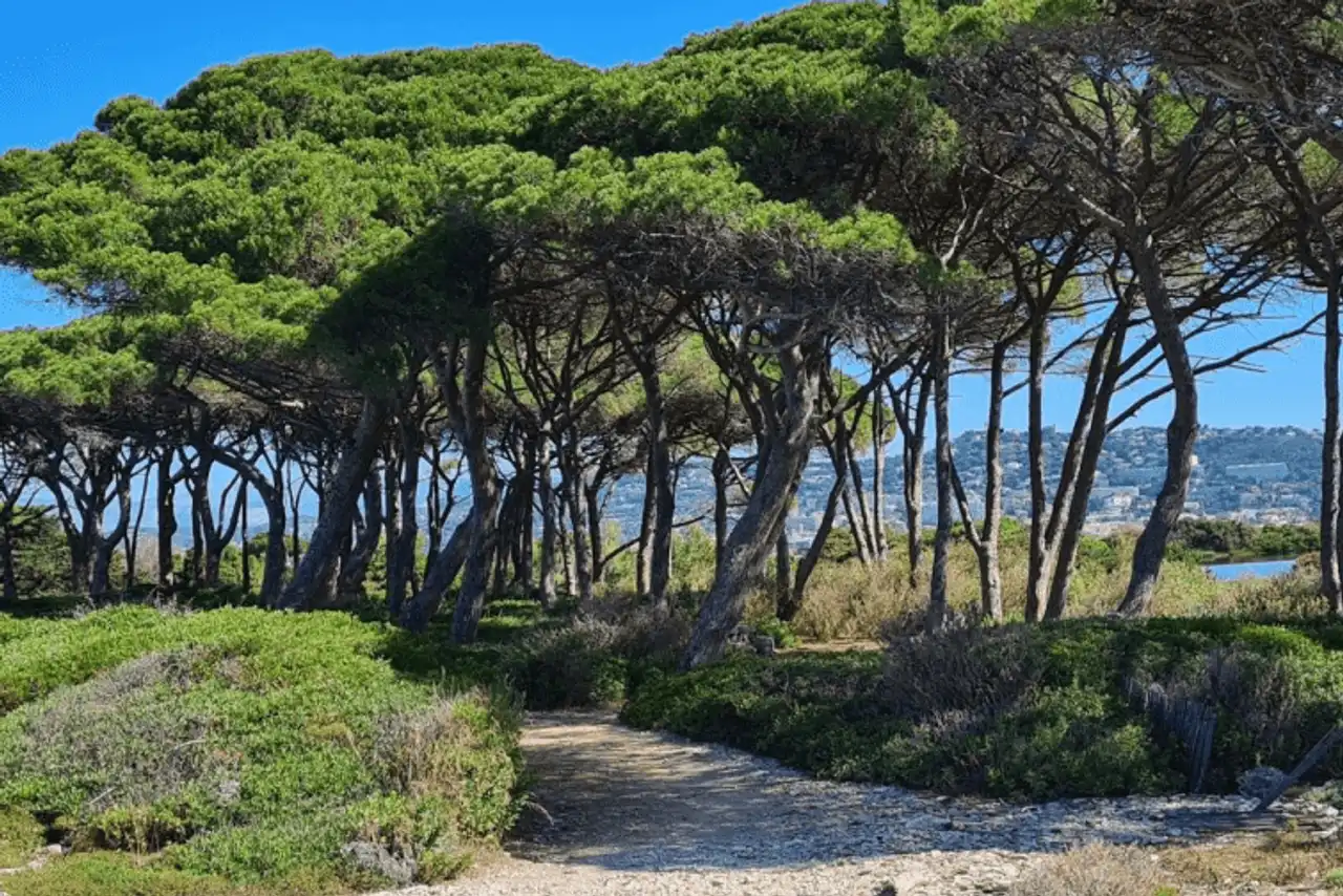
Photo credit: Alltrails
- Duration : about 2 hours
- Distance 7.2 km
- Denivelé : 57 m
- Difficulty : easy
- See the hiking trail
Are you looking for a hike around Antibes to get out of here? Visit Golfe-Juan, a seaside resort located 15 minutes from Antibes. Here, take the ferry to Sainte-Marguerite, the largest of the Lérins Islands . You will have about 20 euros and 25 minutes of travel.
The path around the island is an invitation to the walk. Saving and easy access, it offers typical Mediterranean landscapes, transfigured by the scents of flora and clutches. Sometimes it leads to natural coves, ideal to refresh the days of heat. A moment out of time!
6. The Garoupe wood
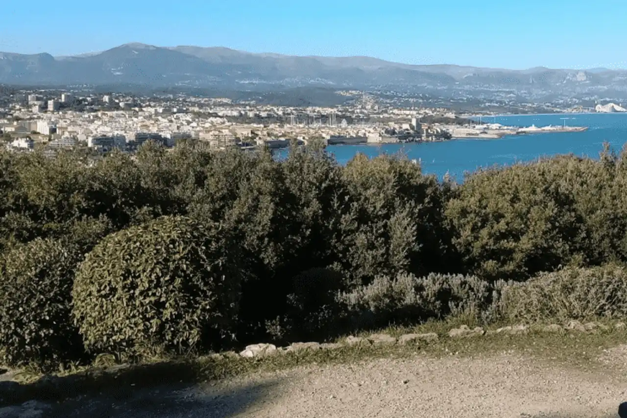
Photo credit: Alltrails
- Duration : about 30 min
- Distance 2.1 km
- Denivelé 49 m
- Difficulty : easy
- See the hiking trail
From the Notre-Dame de la Garoupe church in Antibes, follow the path that leads you to the Garoupe wood. This is a short and accessible path, which you can take with your family without any problems.
The Garoupe wood is enclaved in an environment of coastal villas, luxury hotels and paradise beaches. And yet, green oaks form a remarkable green setting. On the way, stop at the chapel of Calvary, an ancient pilgrimage site that still bears witness to the ancient veneration of the sailors for present or missing deities.
7. The White Bath
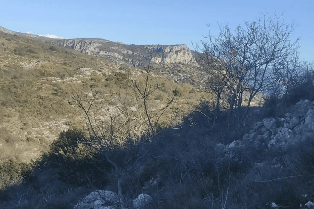
Photo credit: Alltrails
- Duration : about 1h
- Distance 1.6 km
- Denivelé 177 m
- Difficulty Average
- See the hiking trail
Visit the Préalpes Côte d’Azur Regional Natural Park, about forty minutes by car from the city centre, to start this pretty hike around Antibes. It trains you on the heights of the Baou des Blancs, which peaks at 673 meters above sea level.
From above you will have a breathtaking view of the French Riviera: Nice, Mandelieu-la-Napoule , Massif de l’Esterel ... In good weather you can even see the Corse ! If you still have a reservation, you can also reach the Black Baou.
Provide good walking shoes and what to desalter you.
That is: ♪ is a term of Provencal origin that designates a flat-top escarpment.
8. The Col de Théoule and Notre-Dame d’Afrique via the track of Saoumes
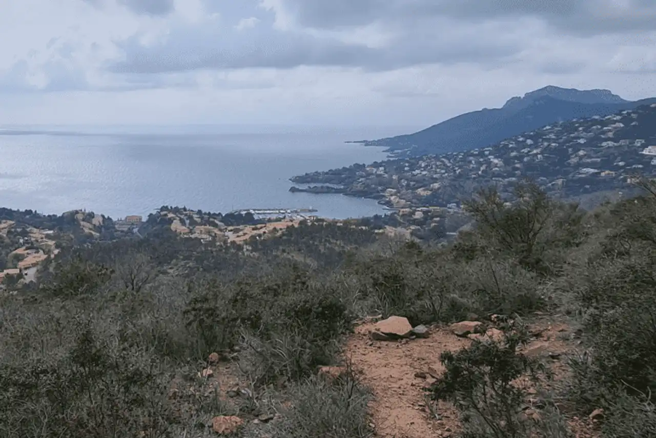
Photo credit: Alltrails
- Duration : about 2h20
- Distance 7.1 km
- Denivelé 267 m
- Difficulty Average
- See the hiking trail
Discover the Notre-Dame d’Afrique memorial! This 12-metre high statue pays tribute to the civilians killed during the Algerian War, which is why it became a pilgrimage site for the French repatriated from Algeria. It dominates the Mediterranean, offering a superb panorama on the coast.
To start this hike, go to Theoule-sur-Mer, 45 minutes from Antibes. You will take the Vallon de l’Autel track and the Saoumes track. An easy and pleasant journey that offers beautiful landscapes.
9. The park of Vaugrenier
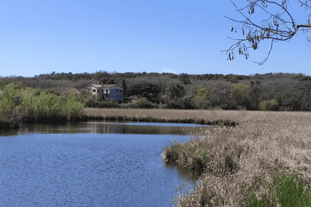
Photo credit: Alltrails
- Duration : about 1h45
- Distance 5.8 km
- Denivelé 90 m
- Difficulty : easy
- See the hiking trail
Located 5 kilometres from Antibes, Vaugrenier Park is an ideal place to relax. Between undergrowth, meadows and ponds, you will find a rich and varied fauna and flora. In particular, cork oaks bring a unique atmosphere. If you like to observe birds, don’t forget your twins! An observatory is on the course.
This hike around Antibes is accessible to all. You can start your family and stop the time of a picnic... A bowl of fresh air close to the city.
10. Valbonne via the Brague Trail
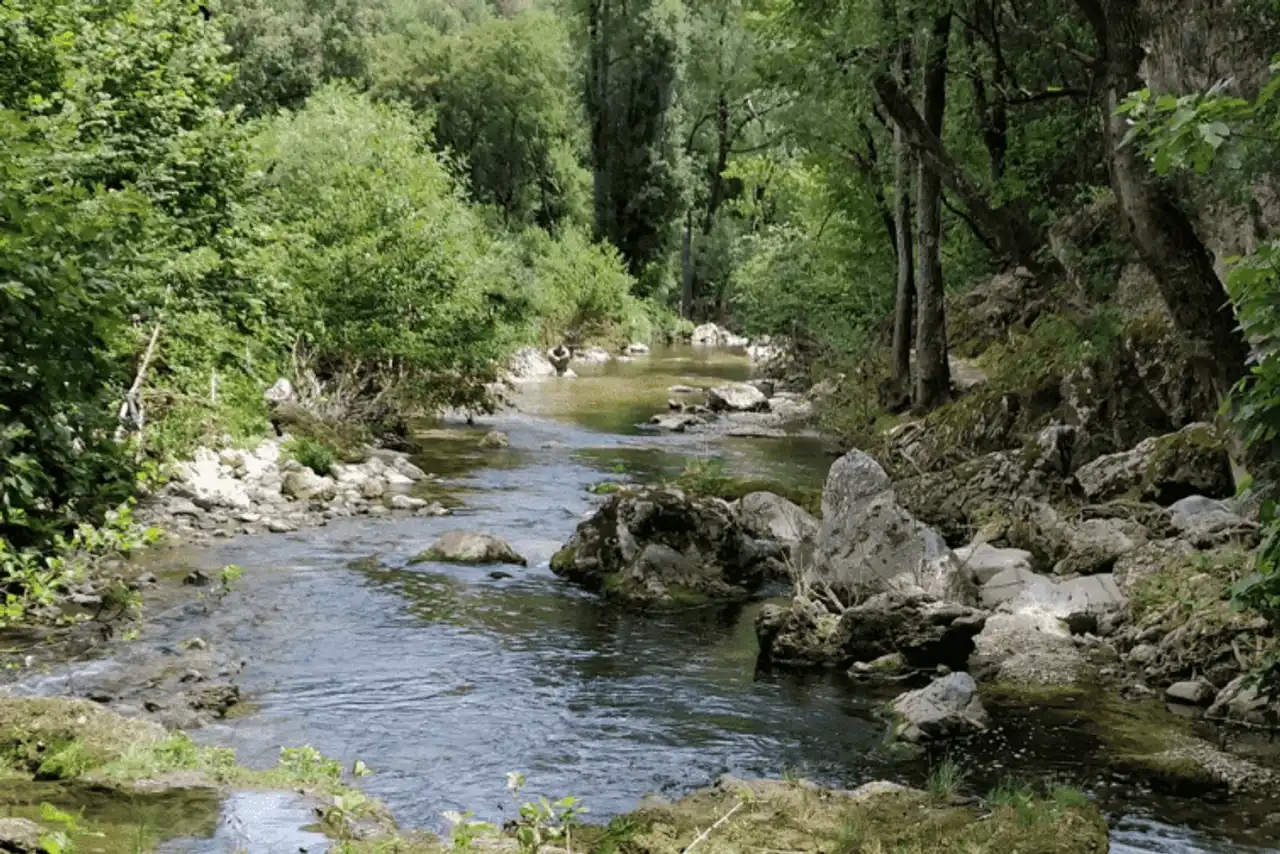
Photo credit: Alltrails
- Duration : about 6:00
- Distance 20.4 km
- Denivelé 460 m
- Difficulty Average
- See the hiking trail
This pretty hike takes you from Biot to Valbonne, along the trail discovered in Brague. It is a shady path that keeps going along the river. The must to relax a summer day! On the way you will cross the bridge of the Tamarins, the sculpted Rock, the estate of the Verrière and the cave Mathilde.
This hike near Antibes does not have a particular difficulty, but it continues for 20 kilometers. So plan on good walking shoes and what to unalter you.
11. The Roman camp
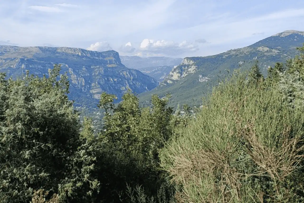
Photo credit: Alltrails
- Duration : about 2h15
- Distance 6.9 km
- Denivelé 237 m
- Difficulty Average
- See the hiking trail
Want to get high? This pretty hike around Antibes gently climbs up to the Roman camp located on the heights of Rouret, at 479 meters above sea level. You will need a little imagination to appreciate the archaeological site, still largely buried under ground.
But the interest of the rando lies above all in the point of view at the top. In the east you can see Nice, in the west, Cannes . In the North, it is a breathtaking view of the Loup Gorges that awaits you. Just magical!
12. The Siagne Canal
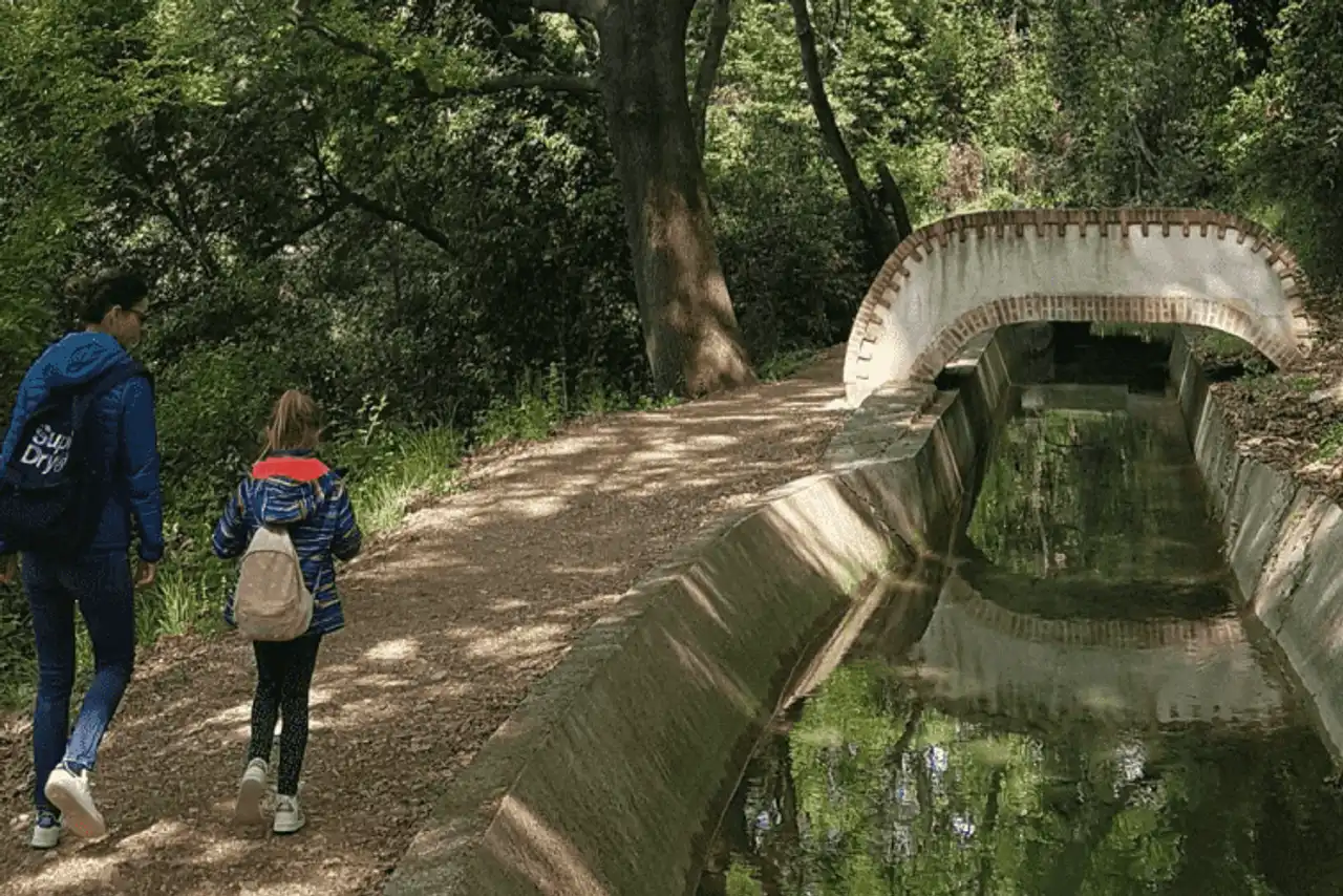
Photo credit: Alltrails
- Duration : about 2 hours
- Distance 6.1 km
- Denivelé 145 m
- Difficulty : easy
- See the hiking trail
Go to the city of Plan de Grasse, about 40 minutes by car from Antibes, to start this hiking trail. You will go along the Siagne Canal, which provides drinking water to the oily and ducky countries. Between undergrowth and southern villages, typical Provencal landscapes await you.
Very well-appointed, the trail can travel on foot or by bike. It is also an ideal spot for the running.


Loading comments ...