Friends walkers and walkers, you want to know what are the best hikes in the Aubrac? Here is our selection of the most galvanizing trails!
Horse riding on three departments (Aveyron, Cantal, Lozère), the Parc naturel régional de l’Aubrac is a real pearl of the French terroir. With a rich heritage and culture, he has been able to stand out over time. But what interests us today is of course its natural dimension!
How to discover its 220,000 hectares of pure nature, stuck between the Volcano Regional Natural Park and the Grandes Causses? We suggest you walk it! So, discover our selection of the best hikes in Aubrac and go for adventure!
1. The Picade, Lake Salhiens and the Déroc Waterfall
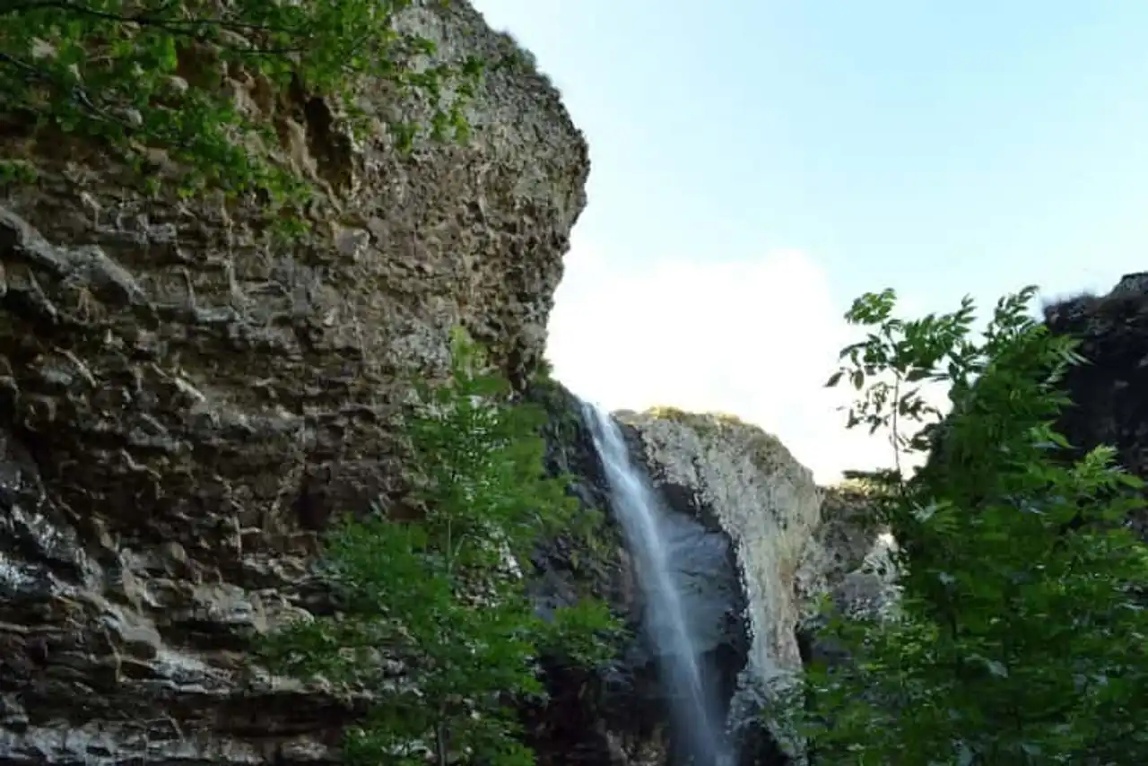
Photo credit: Shutterstock – CELINE NAEGELEN
- Duration 1h
- Distance : 4.3 km
- Denivelé 109 m
- Difficulty Easy
- See the hiking trail
Not far from Saint-Urcize, on the emblematic plateau of Aubrac, find the town of Nasbinals. It is south that you will discover the Picade, Lake Salhiens and the Déroc waterfall. This hike is rather easy and family-friendly. It is also very popular, so you will surely cross other hikers. First follow the path to the east, towards the waterfall before returning to your steps. Then continue to the lake, west.
You will arrive near the Déroc waterfall by the top, so you will be able to observe it from its drop point. You will also be able to approach the cave of Déroc without any problem, respecting of course the indications. Then, turn around and direction Lake Salhiens and Picade. Natural lake, it is fed by the same stream as the waterfall and is lined with dense vegetation that seems to monitor it: the Picade forest.
Moreover, it awaits you and if the path that passes through it shows a small gap, it is no less pleasant to discover its entire ecosystem!
2. Lassouts and the Castelnau-Lassouts Dam
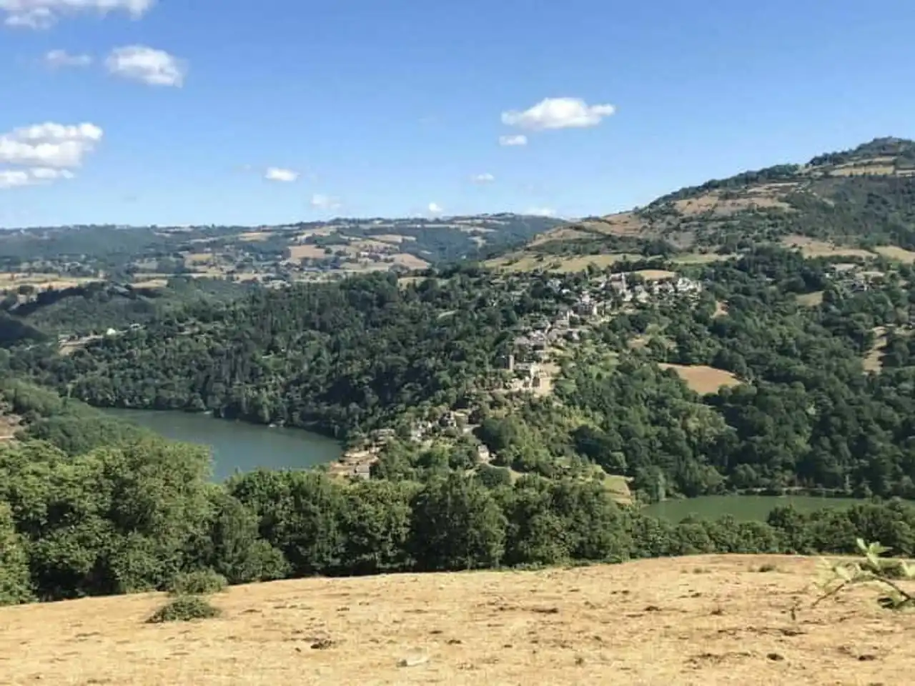
Photo credit: Alltrails
- Duration : 3h20
- Distance 13 km
- Denivelé 458 m
- Difficulty Average
- See the hiking trail
Lassouts is a local aveyronnaise all that is cute. Small stone houses, narrow streets and a church form this isolated village of Aubrac. It is bordered by an enlargement of the Lot River, caused by the EDF dam of Castelnau-Lassouts. Before arriving at the dam, first cross a beautiful dense forest, bordered by a few fields. You can't miss the dam.
Imposing, it retains a very large amount of water and participates in the production of renewable electricity for 35,000 people. A permanent exhibition on the dam will allow you to learn more about the structure. You will then follow the banks of the Lot, from which you can observe the opposite shores. Especially the pretty village of Mandailles you will see sinking into the lake.
3. The Pendouliou de la Fabregue
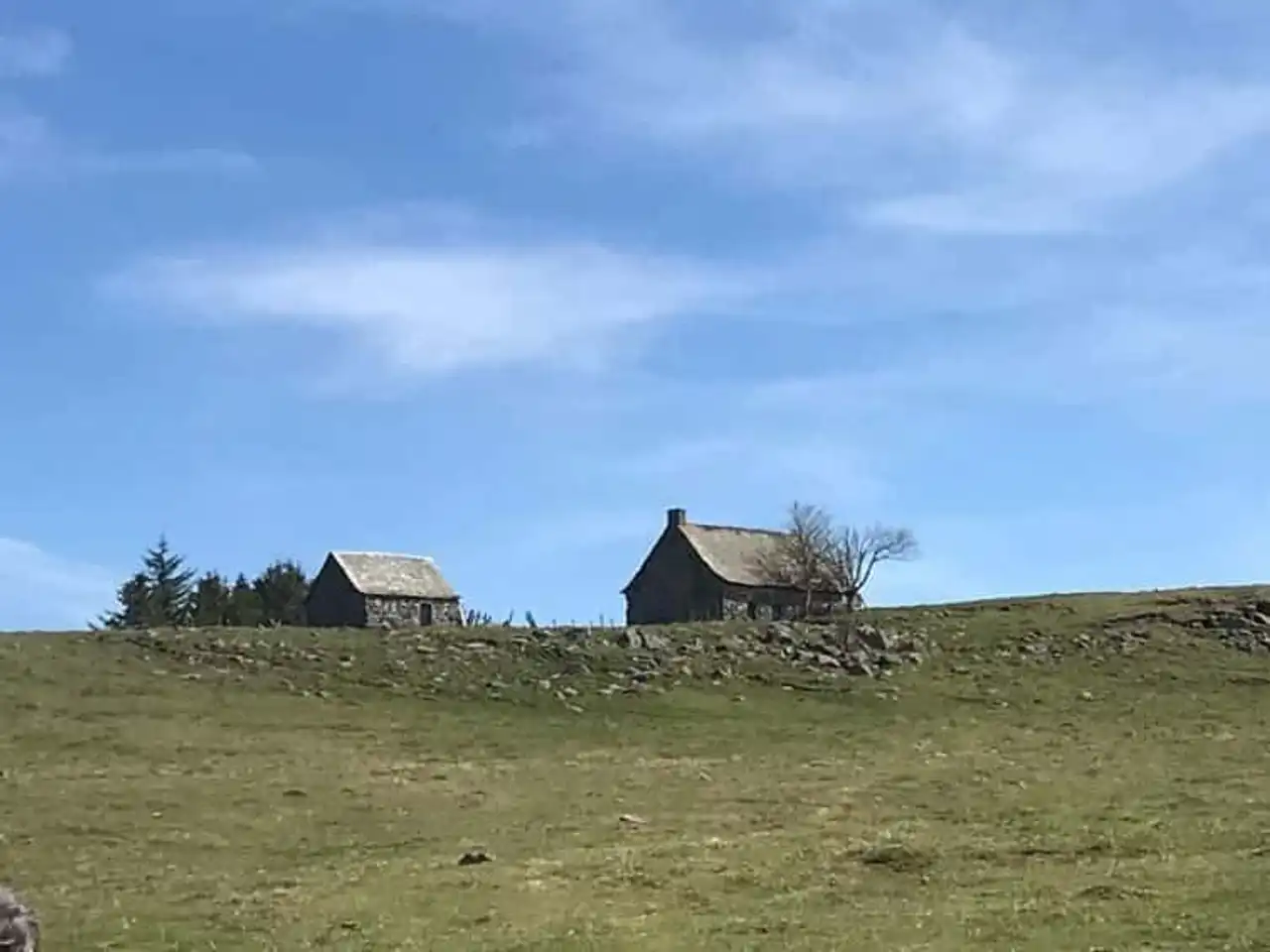
Photo credit: Alltrails
- Duration : 3h
- Distance 11.7 km
- Denivelé : 324 m
- Difficulty Average
- See the hiking trail
The hikes of Aubrac always guarantee to evolve in very natural places. This is the case for this journey from the city of Aubrac. Indeed, you begin by following a path that leads you to the valley of the Boralde of Saint-Chély. You will follow the stream of the same name for a few moments.
You will then be around the apple tree's Puech, a high hill peaking at 1,302 meters. The continuation of the trail will guide you to the Organic Reserve of the Tourbières de l’Aubrac. This is an opportunity to observe the fauna and flora that surround you!
Then you will cross the pretty plateau called Pendouliou de la Fabregue. Beautiful views await you, with a hilly horizon and punctuated with old shepherd houses. Finally, you will return to the village of Aubrac.
4. D’Aubrac à l’Abri de la Vaysse
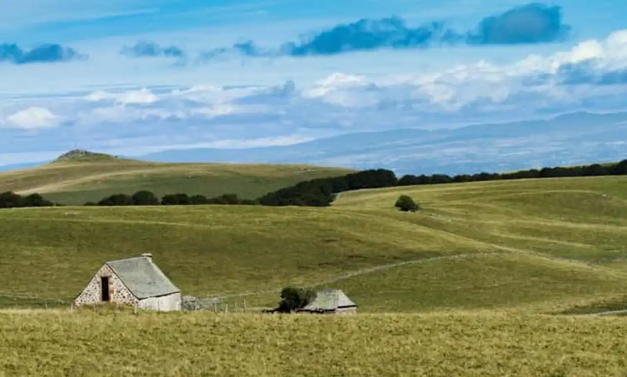
Photo credit: Shutterstock – wuthrich didier
- Duration 1h40
- Distance : 6.3 km
- Denivelé : 226 m
- Difficulty Average
- See the hiking trail
First of all, the Abri de la Vaysse, what is it? It is in fact an unguarded hut located on the border of the Tourbières Biological Reserve. Then, from the city of Aubrac, discover this path, on the way back, that leads you there. To begin with, you will descend the valley before going up to the shelter.
On the way, you will ejaculate two streams: that of Aubrac and the Boralde de Saint-Chély. Throughout the trail, you will be immersed in the undergrowth or in the forest of Aubrac, alternating dense coverage and clear passages. Once you arrive at the Abri de la Vaysse, nothing better than rest for a few moments and enjoy the surroundings.
5. The lake of Castelnau-Lassouts
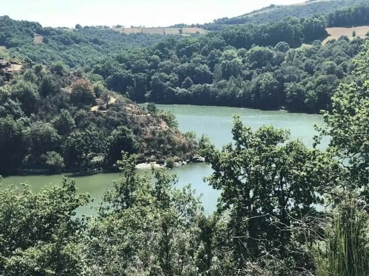
Photo credit: Alltrails
- Duration 2 days
- Distance 32.2 km
- Denivelé 801 m
- Difficulty Average
- See the hiking trail
The Lot is a river that crosses the Regional Natural Park of Aubrac by the south. He's a tributary of the Garonne River. In the north of Lassouts, it expands due to the EDF dam that holds part of its flow to produce electricity. Thus is created the lake of Castelnau-Lassouts. This hike proposes you to make the tour, simply following its banks.
So from Cabanac, a small village on the edge of the lake, go to its discovery. Many other villages are on the edge of the lake, which becomes an opportunity for you to explore the architectural heritage of the country of Aubrac. You can also stay there for one night before leaving on the trails.
Beyond that, nature is also at the rendezvous! Thanks to an exceptional fauna and flora, making the hike very bucolic, the trail is a true observatory of nature.
Last precision: this route is part of the hikes of the Aubrac that it is best to cycle. Indeed, more than 30 kilometers are waiting for you!
6. The loop of the Déroc cascade
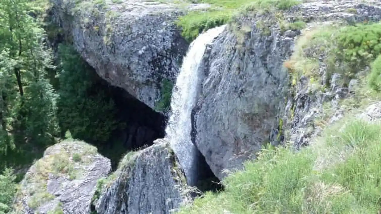
Photo credit: Wikipedia – BUFO88
- Duration 2h10
- Distance 8.7 km
- Denivelé 156 m
- Difficulty Average
- See the hiking trail
This hike offers a great loop in the heart of the Aubrac Plateau. From Nasbinals, climb to the cave of the Déroc, across plains, between fields and jacheries. You will first reach the waterfall by the place where the Salhiens creek flows. This therefore offers another perspective of cascades, usually visible from the ground.
It will be possible for you to go down to the cave and thus observe the Déroc cascade from a more classical angle. Then continue to swipe the plains, towards the village of Montgros, where a small stop is required. Finally, you will find the way to Nasbinals.


Loading comments ...