The hike in Saint-Lary is a bit of a second nature: in the heart of the Pyrenees, often ancient trails, taken by the shepherds for a long time, leave in all directions!
Entrance door to the magnificent Pyrenees National Park, a must-see on the mythical GR10 that crosses the entire Atlantic massif to the Mediterranean, Saint-Lary is a paradise for hikers. From the first beautiful days of spring as under the sun of summer, the snow disappears and the walk takes over the ski. For many, this is the best time to enjoy the mountain.
From the simple family loop to the ascent of a summit, the hikes of Saint-Lary are for everyone, provided you select your route: follow our selection!
1. La Boucle de Saint-Lary
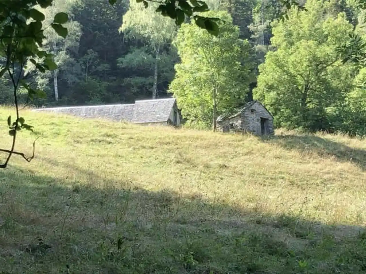
Photo credit: Alltrails
- Duration : about 1h40
- Distance 6.9 km
- Denivelé : 227 m
- Difficulty Average
- See the hiking trail
Here is a hike in Saint-Lary, which seems to be a must: it is difficult to resist following this path which takes its departure in the centre of the village!
The itinerary can be done in both directions, without major difficulty, with a short ascent to Sailhan, then a beautiful mountain path to Caneilles, overlooking the valley of Saint-Lary, before descending to the village. A large loop version is possible up to Tramezaigues, but the level increases.
2. L’Hospice du Rioumajou
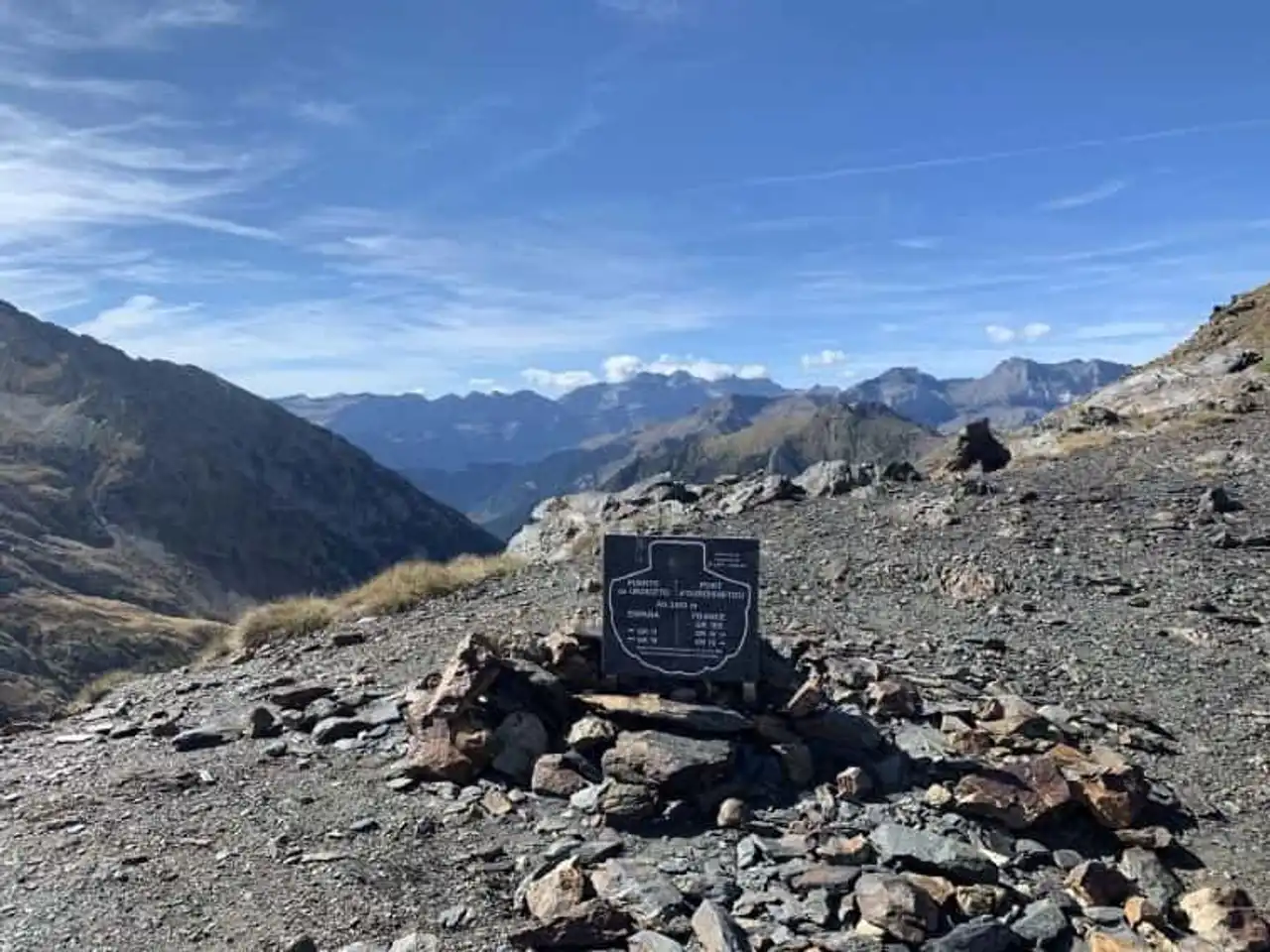
Photo credit: Alltrails
- Duration : about 3h50
- Distance 11.3 km
- Denivelé 675 m
- Difficulty : Difficult
- See the hiking trail
The Rioumajou valley is the starting point for many hikes in Saint-Lary-Soulan. Here we follow the route of a great classic of the corner, which leads us through the valley to the Hospice du Rioumajou. Beautiful landscapes all along the way on a site classified entirely Natura 2000, with a good surprise on arrival: a restaurant to take a nice break before leaving!
There are two variants of return: on the way back, or by attacking the denial of the Gerbelongue trail to enjoy an exceptional view of the valley.
3. La Balade d’Azet
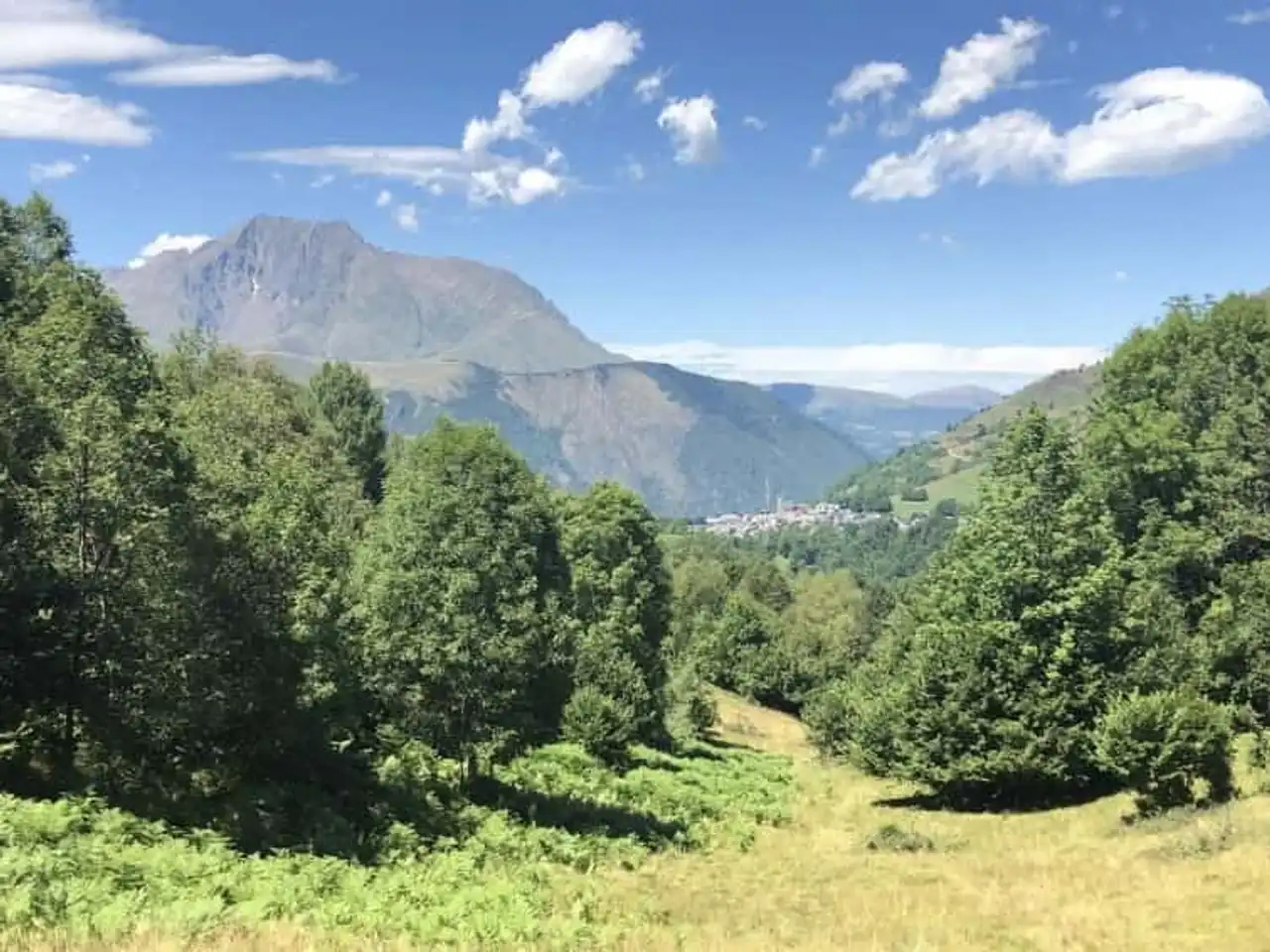
Photo credit: Alltrails
- Duration 2 hours
- Distance 8 km
- Denivelé 255 m
- Difficulty Average
- See the hiking trail
This beautiful hike of Saint-Lary-Soulan allows you to walk for a good half-day through particularly pleasant mountain landscapes: the sound of the torrents that pass the itinerary rhythm your walk, and allows you to refresh yourself in the summer.
The route starts from the small village of Azet, all ready for Saint-Lary, and does not present great difficulties if it is a slightly steep descent in the bottom of the valley, to finish the loop!
4. Lac d’Orédon, Lac d’Aubert and Lac d’Aumar
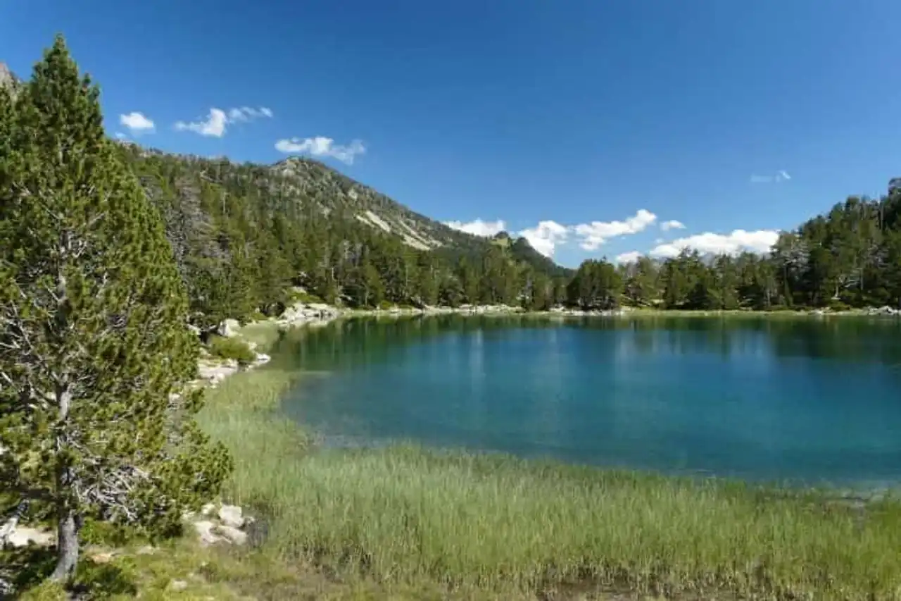
Photo credit: Alltrails
- Duration : about 2h40
- Distance 10.3 km
- Denivelé 499 m
- Difficulty Average
- See the hiking trail
Direction la Réserve Naturelle de Néouvielle, starting point of many hikes in Saint-Lary-Soulan, for this magnificent route. Conveniently, a parking (extra charge) allows to leave the car before leaving to walk.
Your pilgrimages take you to the shores of Lake Oredon, Lake Aubert and Lac d’Aumar, whose waters serve as a decor before taking a ridge path that offers great prospects, and finally descending to the starting point. Recommended buildings, because the path is sometimes a little technical.
5. The Granges of Grascaou
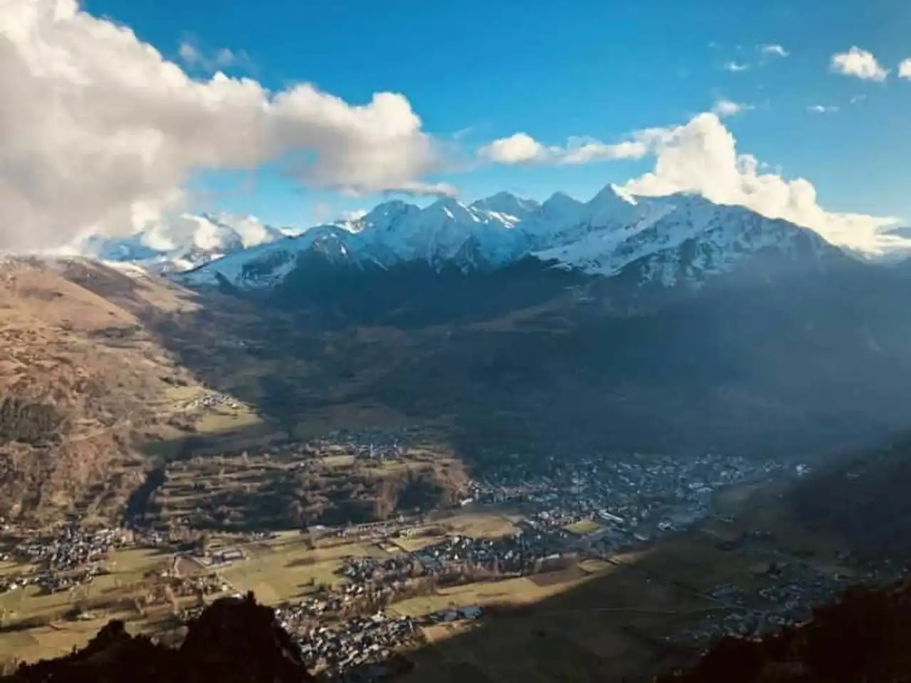
Photo credit: Alltrails
- Duration : about 2h40
- Distance 7.7 km
- Denivelé 717 m
- Difficulty : Difficult
- See the hiking trail
This hike in Saint-Lary-Soulan will be an opportunity to explore a solid denial without leaving far, since it starts at Vielle Aure on the edge of the river crossing the village. In front of you, a beautiful ascent, steep, will work the calves firmly!
More than 700 m above, you reach the goal of this march, the Grascaou Granges, from which the view will be the reward for your efforts: the Rioumajou Valley, the Louron and Saint-Lary summits below. Only to go down!
6. Pic de L’Arbizon
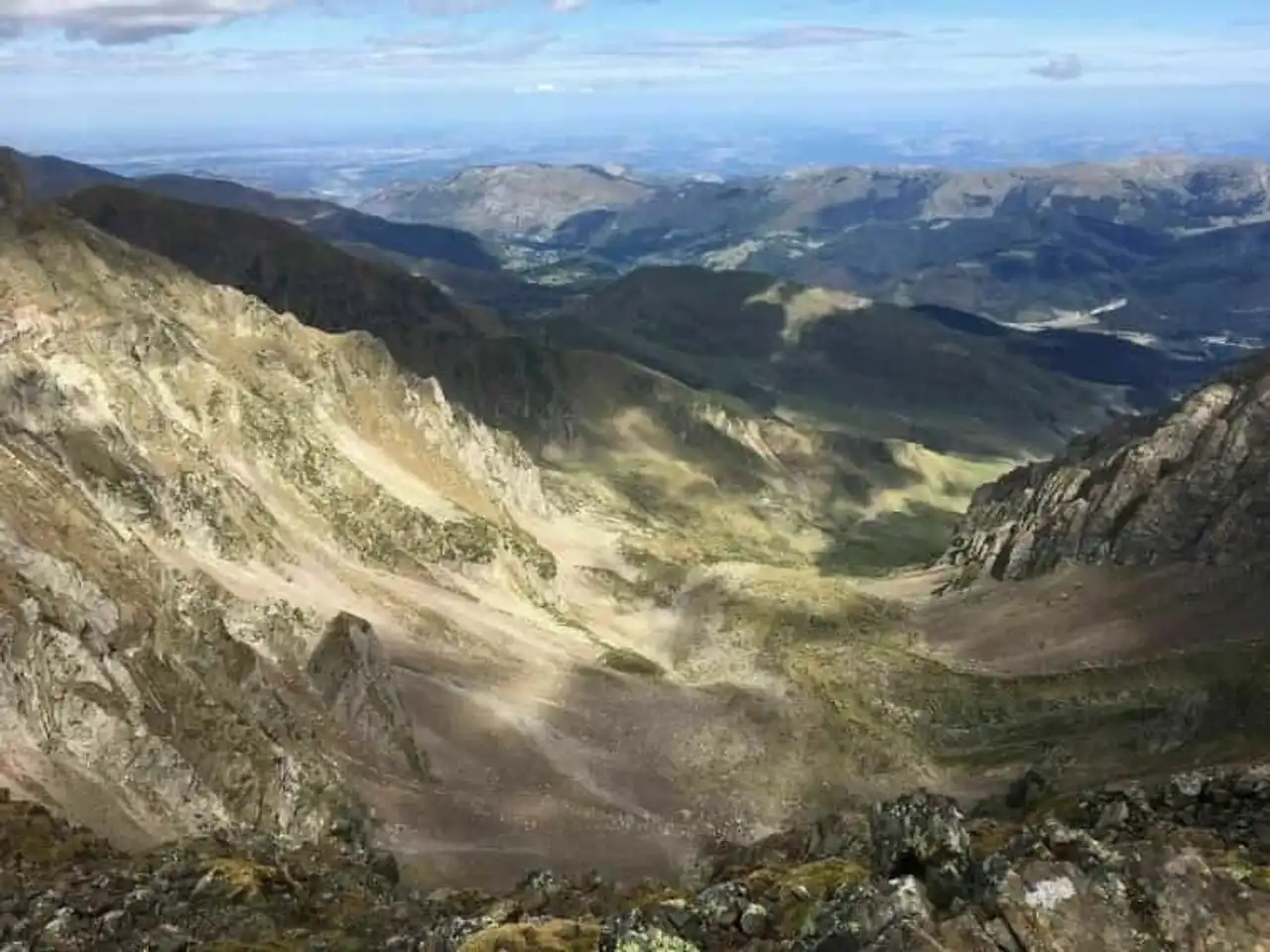
Photo credit: Alltrails
- Duration : about 3h20
- Distance 9.8 km
- Denivelé 1 392 m
- Difficulty : Difficult
- See the hiking trail
In the heart of the Pyrenees, you should expect to climb a few peaks with the best hikes of Saint-Lary-Soulan. It will be done with this steep path that leads you straight to the top of L’Arbizon, at more than 2800 m!
A complete panorama of the region awaits you. Then we take the same path in the other direction... With more than 1300 m of positive denial, this walk is not for beginners.
7. The Lakes of Bastan and the Pic du Pichaley
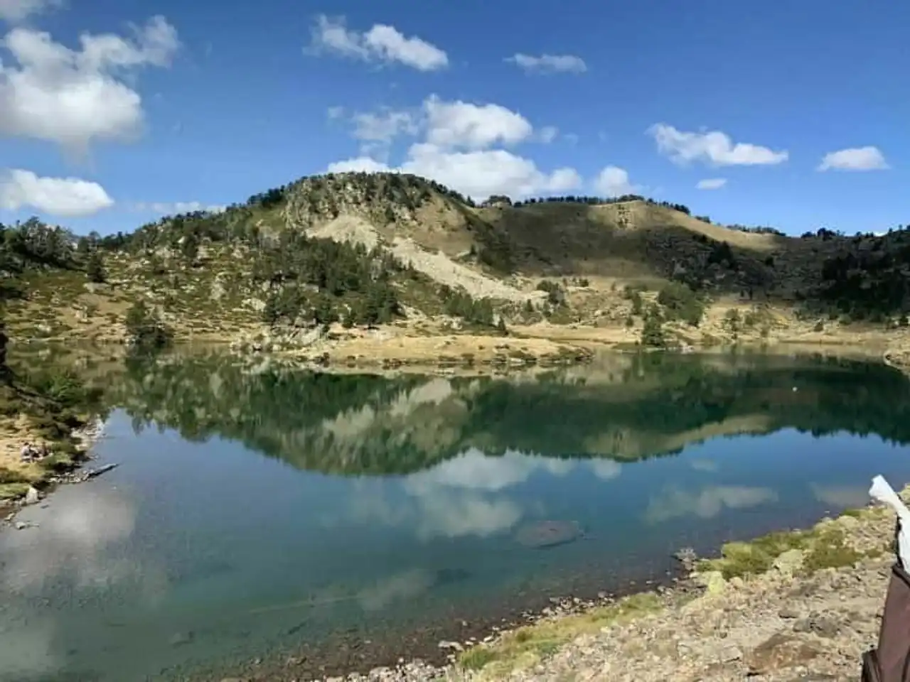
Photo credit: Alltrails
- Duration : about 2h45
- Distance 11.1 km
- Denivelé 598 m
- Difficulty Average
- See the hiking trail
A beautiful hike in Saint-Lary, in breathtaking mountain landscapes. From the Col du Portet, you go on a well- traced path to more than 2000 m above sea level, overlooking several lakes before reaching the Bastan refuge.
Then the ascent through the peak of the Pichaley is a little bit stronger, as it climbs to reach this unbeatable point of view perched at 2621 m!
8. Les Granges du Moudang
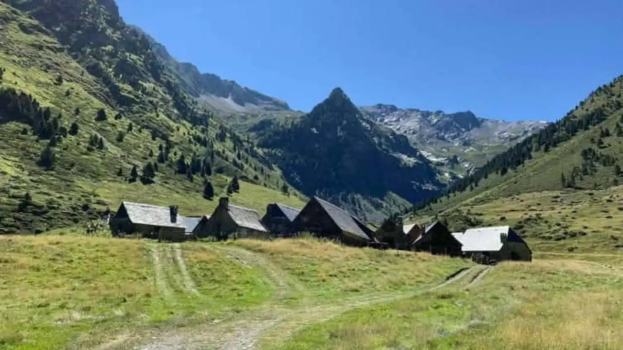
Photo credit: Alltrails
- Duration : about 3h40
- Distance 10.9 km
- Denivelé 544 m
- Difficulty : Difficult
- See the hiking trail
One of the advantages with the hikes of Saint-Lary is that everyone finds his account from the point of view of the difficulty.
The hike of the Granges du Moudang, a testimony of the past pastoral activity of the region, has nothing too difficult despite its denial, and allows all levels of hikers to taste the beauty of the Pyrenees’ landscapes.
9. The Pla d’Adet
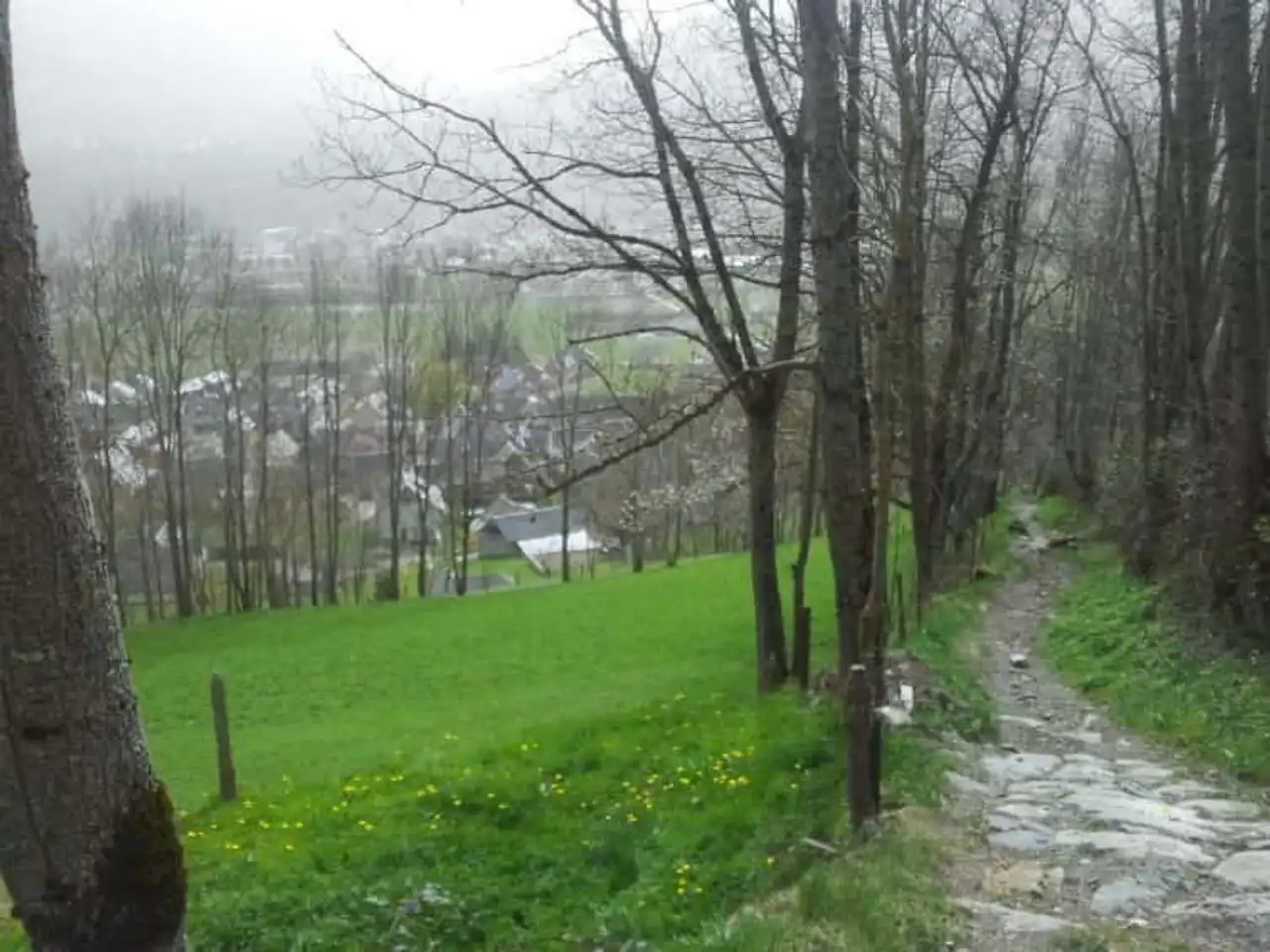
Photo credit: Alltrails
- Duration : about 2h45
- Distance 10.9 km
- Denivelé 794 m
- Difficulty Average
- See the hiking trail
We finish with a hike from Saint-Lary-Soulan which climbs, leaving directly from Vignec: a strong climb to reach the famous Pla d'Adet, a true viewpoint overlooking Saint-Lary, known to skiers of the resort in winter, just as popular with hikers in the summer!
With almost 800 m of denial, the Adet Pla water point will certainly be welcome before making the reverse path.


Loading comments ...