We sometimes forget it, but Normandy is a beautiful land to discover on foot. So you'll find your shoes and your hat, we'll take you to the most beautiful hikes in Normandy!
You have planned a stay in Normandy and in addition to the many cultural, historical and architectural points of interest, what are you looking for?
In addition to picturesque towns and villages, chalk cliffs and history, discover the Normandy hikes where pastures, valleys and marine clutches make up a breathtaking natural picture.
The cream and the camembert await you but the Norman greenery too, so enjoy it!
1. Mont Saint-Michel
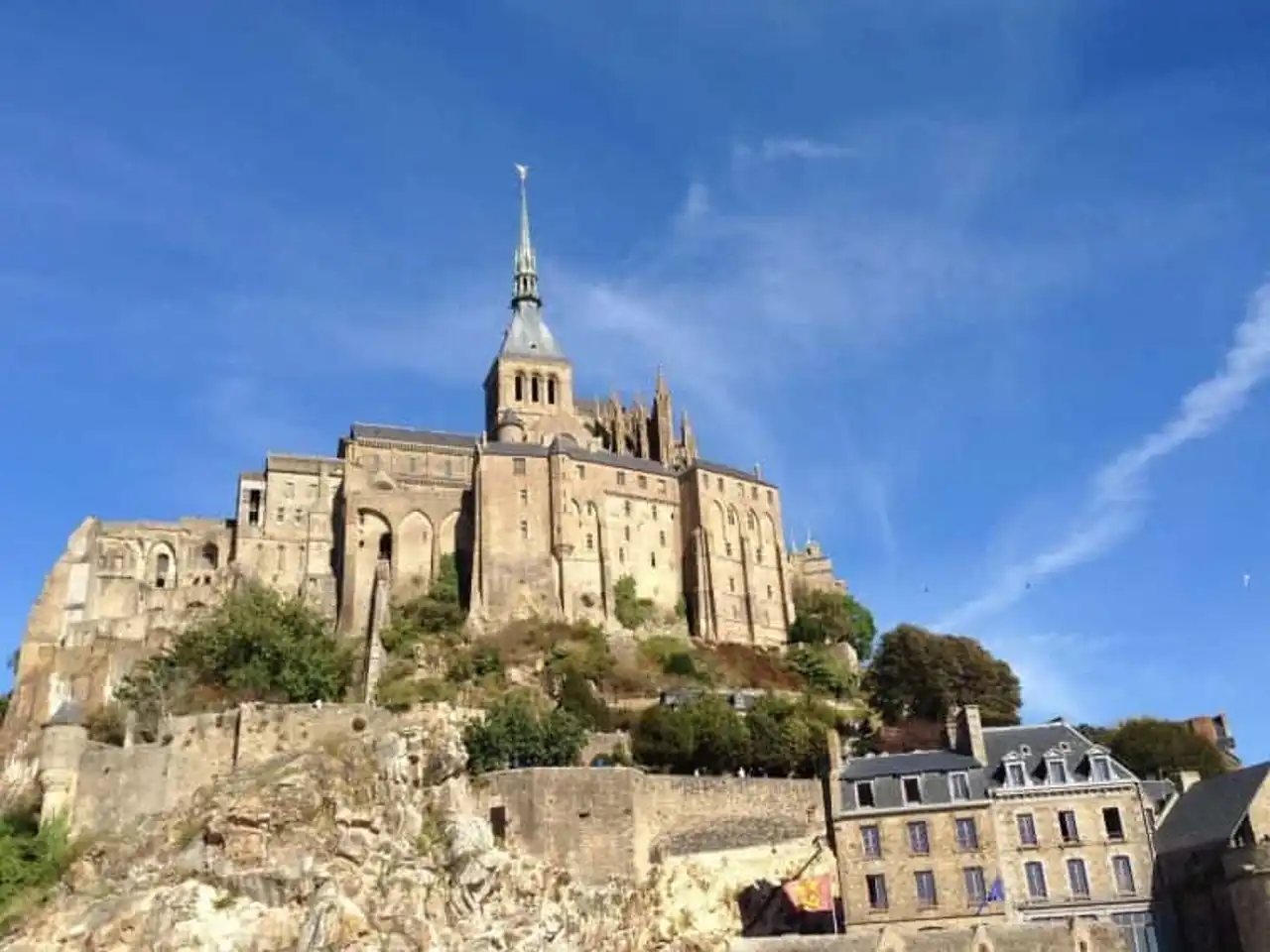
Photo credit: Alltrails
- Duration 1h30
- Distance 6.8 km
- Denivelé 87 m
- Difficulty Easy
- See the hiking trail
A true must-see of the Normandy hikes and the emblem of the region, Mont Saint-Michel is discovered in many ways. But the best sometimes remains the easiest: on foot!
From the car parks, following the road to the Rocher, you will progress on the bridge, already seeing the goal. At low tide, the show is just as impressive as it is at high tide, the only difference that the mountain is accessible.
Once you arrive, you only have to visit the mountain by surveying its alleys and of course, discovering its historical abbey.
2. ♪ Falaises d’Étretat
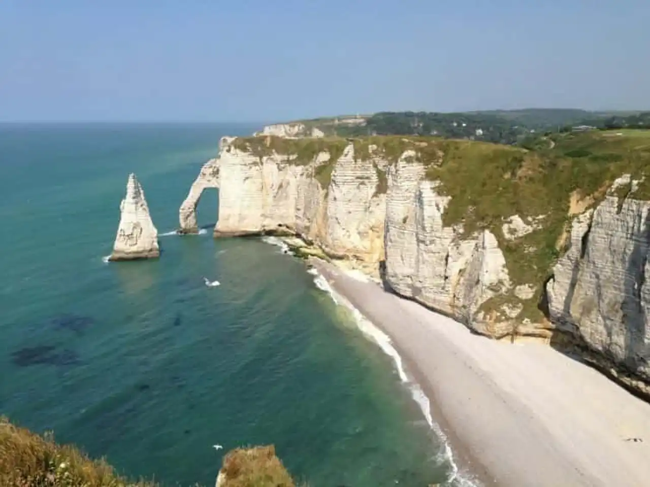
Photo credit: Alltrails
- Duration 1h
- Distance 4.8 km
- Denivelé 256 m
- Difficulty Easy
- See the hiking trail
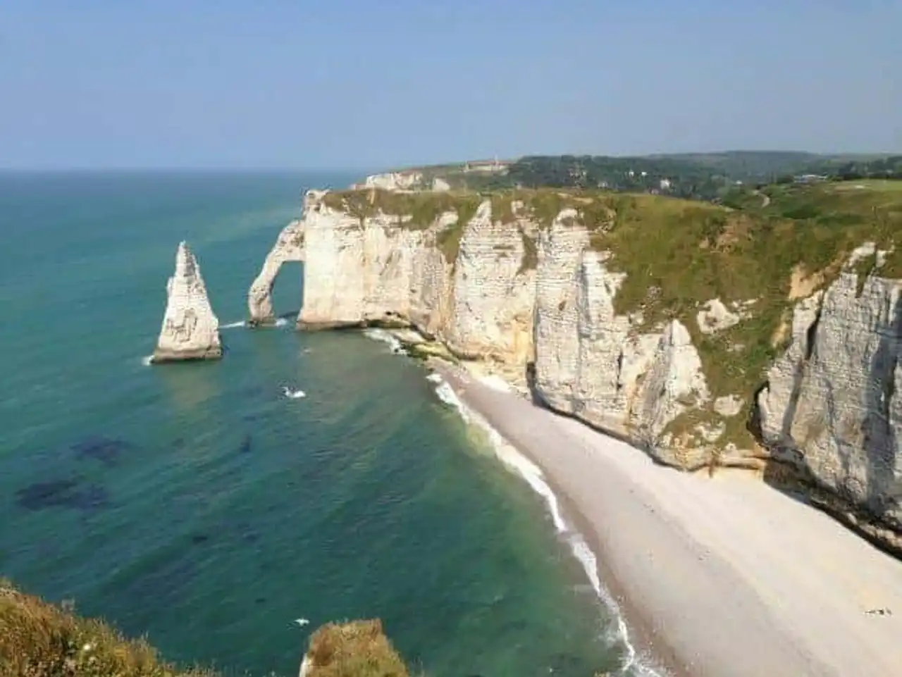
Like the Falaises de Moher Irish, Falaises d’Étretat are an unparalleled tourist attraction. Crayers, imposing and dug from natural arches, they are lined by the Channel, which dresses in beautiful colors, thus composing a beautiful painting.
This hike offers you to discover, from the famous beach of Étretat, three cliffs in particular: Aval, Amont and Manneporte.
This is the opportunity for you to access the Chamber of Demoiselles, a dramatic theater of a local legend, where you might feel observed...
3. Omaha Beach and the American cemetery of Colleville-sur-Mer
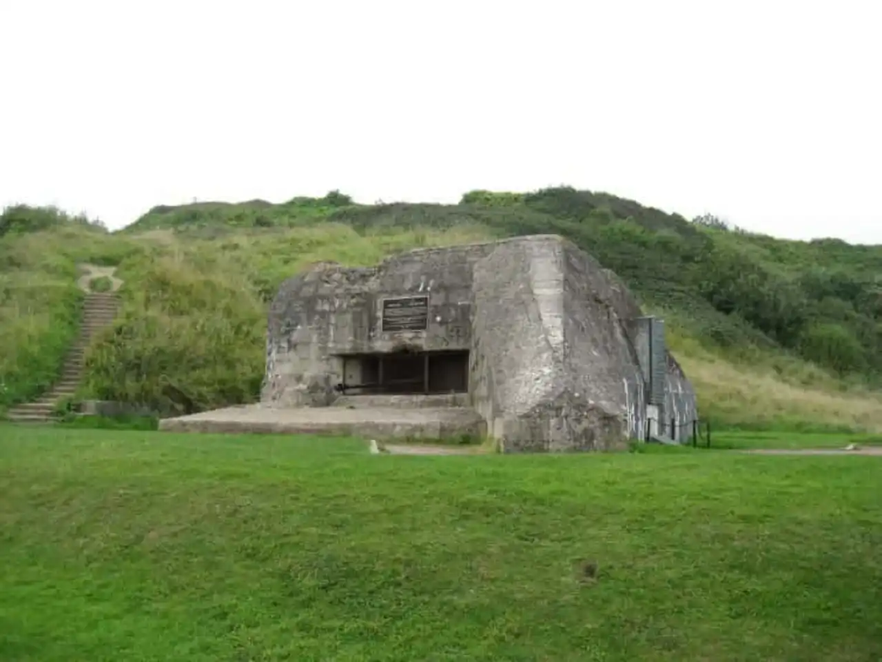
Photo credit: Alltrails
- Duration 2:30
- Distance 9.7 km
- Denivelé 216 m
- Difficulty Easy
- See the hiking trail
Omaha Beach witnessed a bloody episode of the Second World War. Today it has become a place of memory where many people are gathered each year.
Whether at the American cemetery or on the beach, the landscape remains striking, or even moving, so the vestiges of the past continue to haunt the place.
The hike, in the form of a loop, offers you a journey through the dunes and time, direction the plateau near Le Cavey. From this plateau, a panoramic view of the beach and the cemetery awaits you.
4. The circuit of the Virgin Coast and the Cap Fagnet
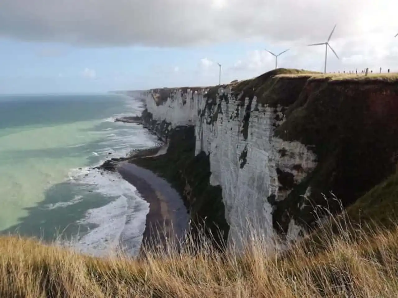
Photo credit: Alltrails
- Duration 1h30
- Distance : 6.4 km
- Denivelé 178 m
- Difficulty Easy
- See the hiking trail
From Fécamp, a little northeast of Ettretat, we offer a small loop, ideal for a family ride.
At the start of the port pier, head to the heights and discover beautiful views of the cliffs and Fécamp, especially from the Cap Fagnet that dominates the city and its beach.
Finally, you will also cross several unaffected bunkers on the way.
5. The tower of the Jardins de Monet
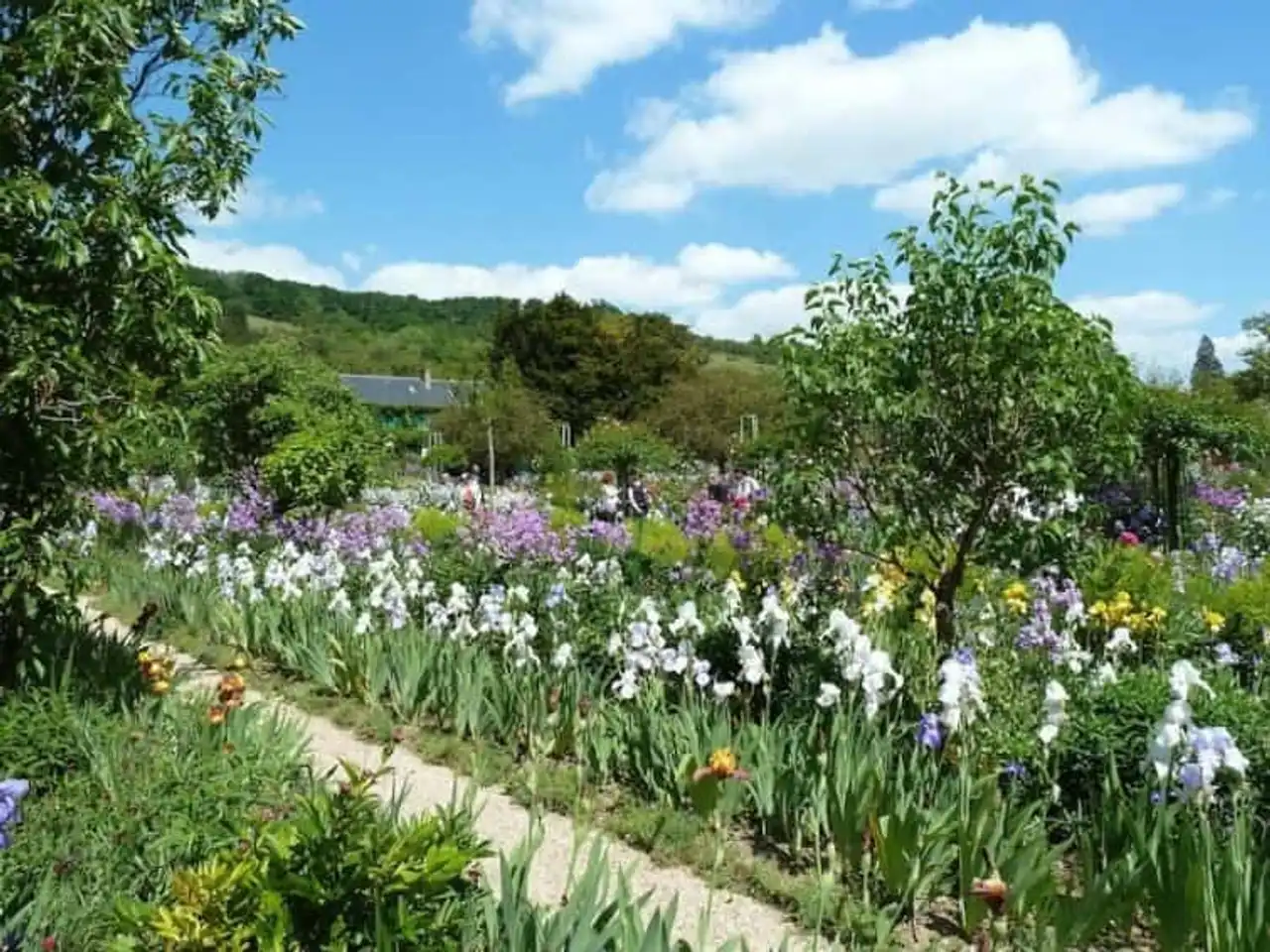
Photo credit: Alltrails
- Duration 30 minutes
- Distance 1.8 km
- Denivelé 19 m
- Difficulty Easy
- See the hiking trail
Friends artists or art lovers, this is one of the Normandy hikes that is made for you! What is more like a walk offers you the opportunity to enter the garden of the Residence of Monet.
When the painter moved to Giverny in 1883, he made his garden a real natural work. This painting, it composes it with massive flowers, trees, water points, but also and above all, colors!
Take your eyes full and let yourself be won by the deliciously debridled floral poetry, inherited by Claude Monet.
6. The Nez de Jobourg
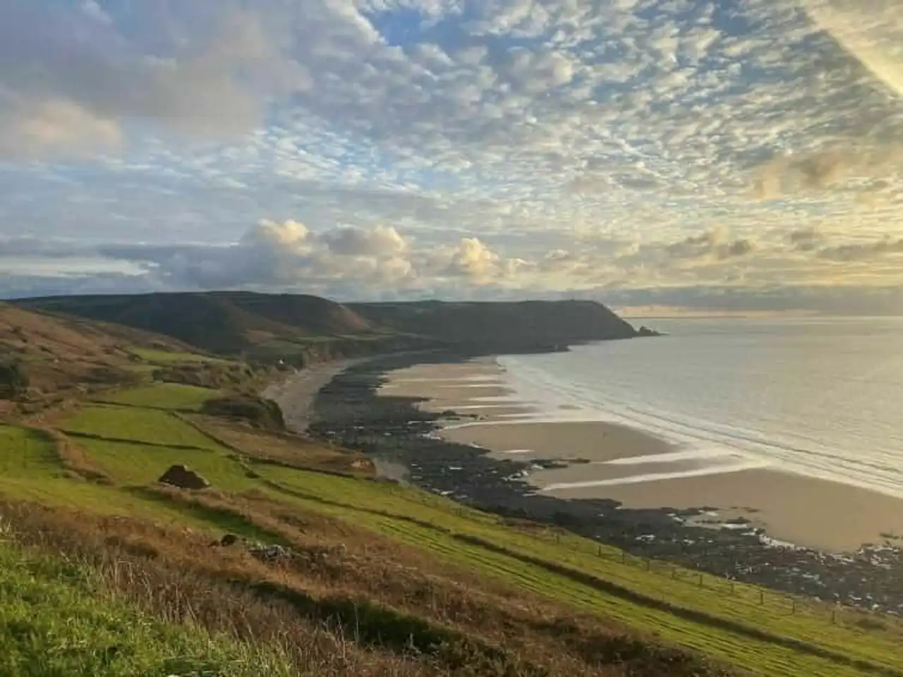
Photo credit: Alltrails
- Duration : 3h
- Distance 11.3 km
- Denivelé : 338 m
- Difficulty Average
- See the hiking trail
The Nez de Jobourg ranks among the highest cliffs in Europe and with a culminating point in 128 metres , these are the highest in Normandy. This looped trail will allow you to discover one of the most beautiful Norman places.
First because the coast is very beautiful. But then because she hides some treasures. So, by stopping on the way, you can approach the caves of Jobourg, the land of Verbec, the many years, the Baie d’Écalgrain and its beach, the Côte Soufflée... And of course, the Nez de Jobourg!
7. The coastal path of Goury
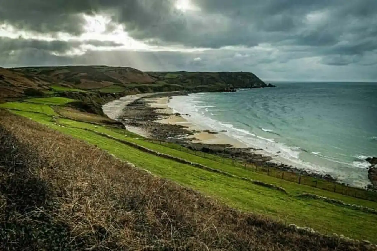
Photo credit: Alltrails
- Duration : less than 1h
- Distance : 3.4 km
- Denivelé 51 m
- Difficulty Easy
- See the hiking trail
The trail of the shoreline of Goury is located at the end of the Presqu’Île du Cotentin, in the department of Channel . It is ideal to take the air and admire the coastal landscape.
The time for a walk by the beach, you can see the headlight of the Cape of the Hague, but also the island of Sainte-Anne, which is unveiling on the horizon.
The days of very good weather, maybe you will see Guernsey and Jersey away.
8. The buckle of Saint-Adrien and Celloville
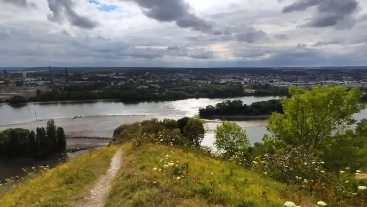
Photo credit: Alltrails
- Duration 2:30
- Distance 9.8 km
- Denivelé : 327 m
- Difficulty Average
- See the hiking trail
The small town of Saint-Adrien is close to Rouen , when we go up the Seine from Le Havre . Facing the Vase Island, Léry and Merdray, Saint-Adrien is backed by cliffs that reminiscent of the Norman coast.
The loop formed by this trail will allow you to discover the heights of the city, but also the towns of Belbeuf, Celloville and Incarville.
In the undergrowth or along a plateau, this hike requires a little effort from the start, the time to climb. That said, you will be rewarded with the view!
9. The loop of the Cap de la Hague and the hollow of the Silver Bad
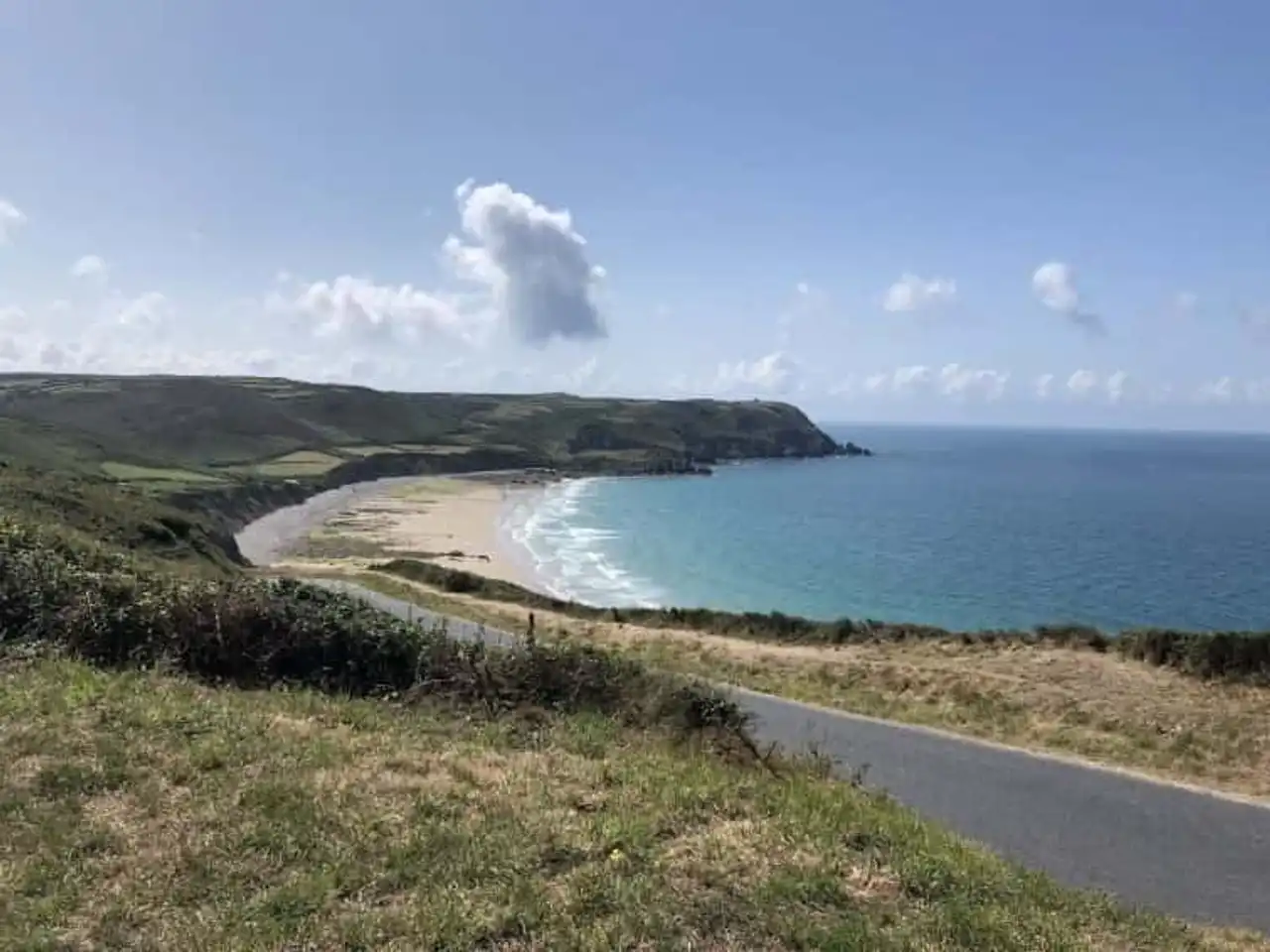
Photo credit: Alltrails
- Duration 2 hours
- Distance 8.9 km
- Denivelé 190 m
- Difficulty Easy
- See the hiking trail
To the northwest of the Cotentin Peninsula, between the Cape of the Hague and the hollow of the Bad Silver, a long path along the coast. Its name: the coastal path.
Just like many hikes from Normandy, this loop makes you discover the diversity of the local landscape. Beaches, cliffs, handles and countryside follow each other and offer you as many beautiful and atypical views.
A passage through Auderville, through its alleys and stone houses, will then punctuate your stroll with a bit of urban charm!
10. The Lude Valley and Carolles Beach
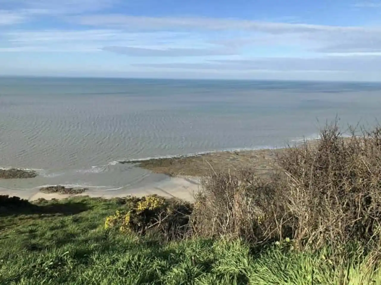
Photo credit: Alltrails
- Duration 1h30
- Distance : 6.3 km
- Denivelé 163 m
- Difficulty Easy
- See the hiking trail
This hike can be divided into two chapters. First, the coast, from which the horizon and the Breton lands (Cancale) are available to you. The days of very good weather, you can even see Mont Saint-Michel looking inside the Bay of the same name.
By continuing a little by the south, outside the route of this hike, you will fall on the Cabane Vauban de Champeaux. Then, second part of the path with the Lude valley.
The Lude is a stream of water that runs a way to the sea, and which, to do this, has dug into the Norman cliffs. The result is surprising, because a few meters from the edge of the high cliffs, here they dig again.
11. Andaine Forest and the Hermitage ponds
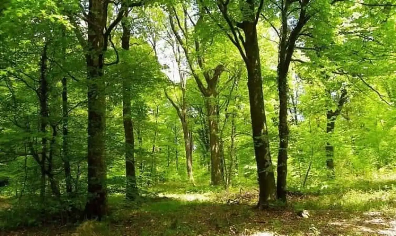
Photo credit: Wikimedia – Gérard DESGRIPPES, Mayor of Champsecret
- Duration 1h30
- Distance 6 km
- Denivelé 106 m
- Difficulty Easy
- See the hiking trail
The Andaine Forest belongs to the Normandy Maine Regional Natural Park, between Domfront and the Ferté-Macé. This hike, under the sign of nature, begins at the crossroads between several departmental roads, at the Etaine Star.
You will start your walk directly in the Arboretum, where you will observe many plant species. Then, in the middle of the way, you will discover the ponds of the Hermitage.
These are mainly fishing ponds, very regulated, where swimming is prohibited . But it does not remove anything from the very bucolic landscape of the surrounding area...
12. The Pointe de la Courtine circuit, Etretat and the Roc Vaudieu
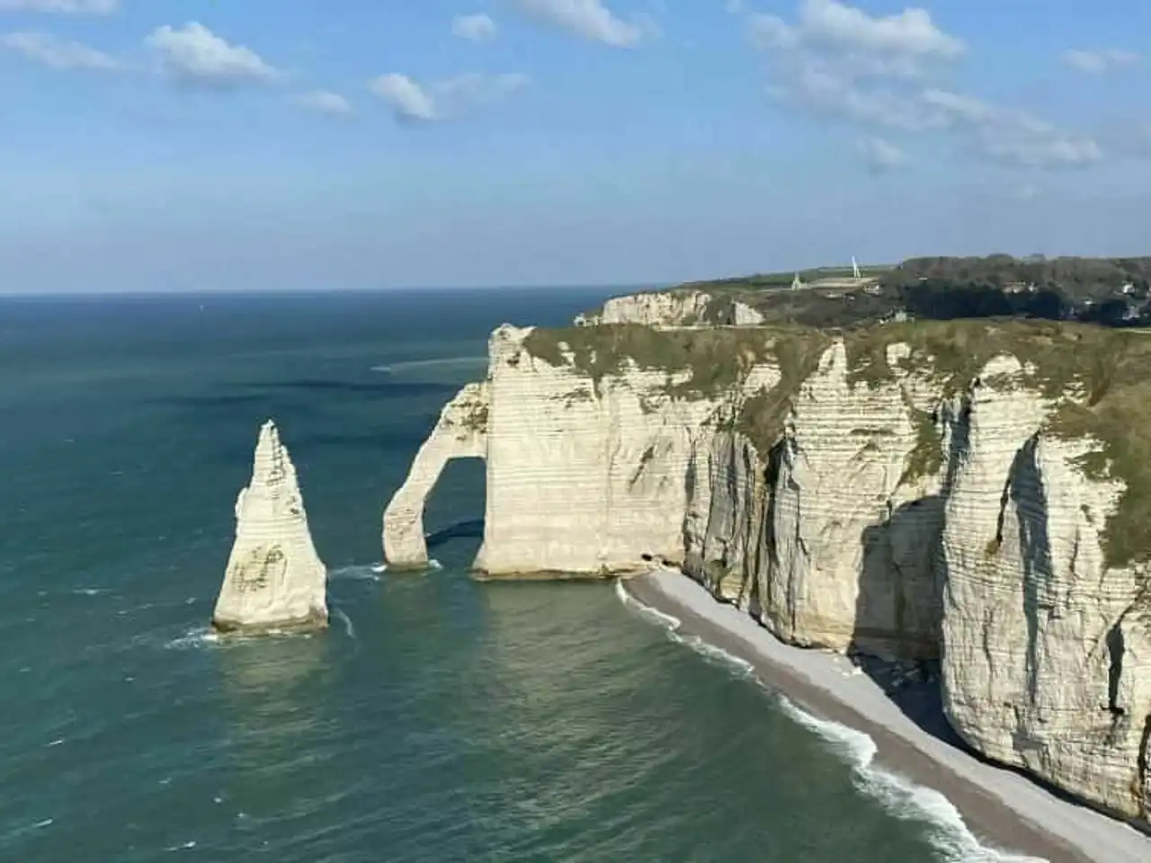
Photo credit: Alltrails
- Duration : 3h30
- Distance 14.5 km
- Denivelé : 390 m
- Difficulty Mean
- See the hiking trail
For those who want to see a maximum of the cliffs of Étretat, here is the most suitable for hiking in Normandy! Borrowing a part of its route to GR21, this hike promises you some scary cliffs, the blue sea, the breathtaking landscape and of course memories.
No matter what meaning you start the path, there will be two phases in all. The plateaus then the cliffs or vice versa. In any case, you'll leave with a piece of Normandy in your backpack!
You will also cross the city of Ettretat and ideally, you should finish by this step to recover from a good Norman snack!
13. The Crests and Monuments of Mortain
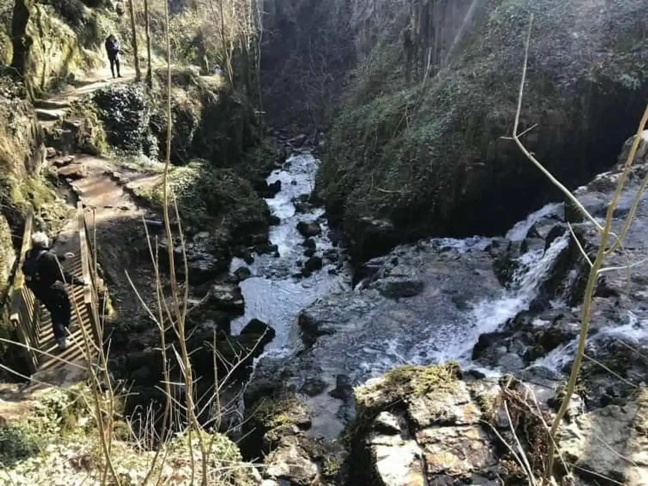
Photo credit: Alltrails
- Duration : 3h
- Distance 11.3 km
- Denivelé : 314 m
- Difficulty Average
- See the hiking trail
Mortain is a quiet town on the edge of the Andaine forest. Yet, her history precedes her. Indeed, men trodden his lands more than 40,000 years ago, leaving behind them traces.
This hike allows you to discover some, more or less recent, between natural intervals: cascades (the Petite and the Grande), forest plateaus and huge rocks to climb (Rocher de l’Aiguille).
For example, you can see the chapel of Saint-Michel or the collegial Saint-Évroult. This is Mortain’s oldest monument, dated the 13th century.
So, which one of those Normandy hikes gives you the most desire?



Loading comments ...