Open your eyes, nature is everywhere! Discover some of the most beautiful hikes in Haute-Vienne, a breathtaking and sensational department.
Located in the western center of France, the Haute-Vienne stands out from its neighbors by its very green landscape, hilly due to the Central mass that it borders, but also through its historical past.
For too long left aside, Haute-Vienne is an extraordinary holiday destination, especially for its remarkable heritage.
To do this, discover the trails, paths and routes that make the best hikes in Haute-Vienne. It would be a pity to deprive yourself of a jerk of nature...
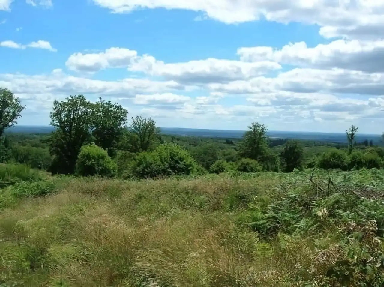
1. The Peyroux circuit to Mount Gargan
Photo credit: Alltrails
- Duration 5:30
- Distance 20.9 km
- Denivelé 536 m
- Difficulty Average
- See the hiking trail
Mont Gargan is one of the highest mountains in Haute-Vienne. It culminates in 731 metres and belongs to the Central Massif and Millevaches Regional Natural Park in Limousin.
From the town of Peyroux, southeast of Limoges , cross meadows and undergrowth towards Mount Gargan.
At the top, you can also enjoy a panoramic view of the surrounding puys, such as the Monédières Massif. This summit was also the theatre of the Battle of Mont Gargan, during which the German army faced opponents guided by Colonel Guingouin. But that’s not all.
Indeed, the ruins of a chapel dedicated to Notre-Dame-du-Bon-Secours remain there. The building dates back to the 1870s but the weather, the climate and also some malicious acts were right to its condition...
2. The Three Rivers and Three Viaducts circuit
Photo credit: Alltrails
- Duration 2:30
- Distance 10 km
- Denivelé 275 m
- Difficulty Average
- See the hiking trail
Here is one of the hikes in Haute-Vienne that bears its name. Through a circuit with a variety of landscapes and shaded with greenery, you can follow three rivers: Breuilh, Blanzou and Briance.
But Pierre-Buffière, the city they split, is best known for its bridges and viaducts. Thus, pass under impressive viaducts, especially the Blanzou valley.
Indeed, it culminates in more than 330 metres (56 meters for that of the Briance Valley). You will also pass close to Pont Vieux and Pont Neuf, which are also very beautiful urban structures.
For the small story, the first was built in the 12th century!
3. The tower of Lake Saint-Pardoux
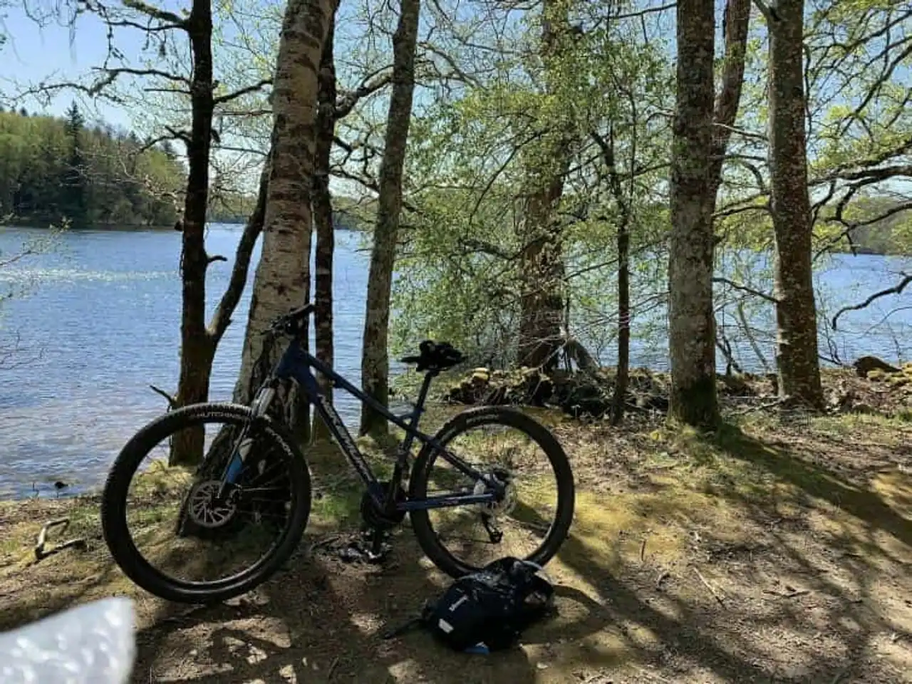
Photo credit: Alltrails
- Duration : 6h
- Distance 21.9 km
- Denivelé : 364 m
- Difficulty Average
- See the hiking trail
Lake Saint-Pardoux is an artificial lake located in the heart of a preserved natural site. With an area of 330 hectares, it is the largest water plan in the department of Haute-Vienne. This trail begins at the Chabanne Site, a fully-equipped base where many sports take place.
Then follow the wooded shores of the lake, walk along the Puy de Bert (429 meters), discover the Site de Fréaudour (residential area) and the Puy Jojo (418 meters)...
Finally, pass by the Santrop Site (detent, sports, games) and the Chabannes Mill. It is one of the hikes in Haute-Vienne to make with your family, to enjoy the different sites and rest areas.
4. The Vaseix Forest
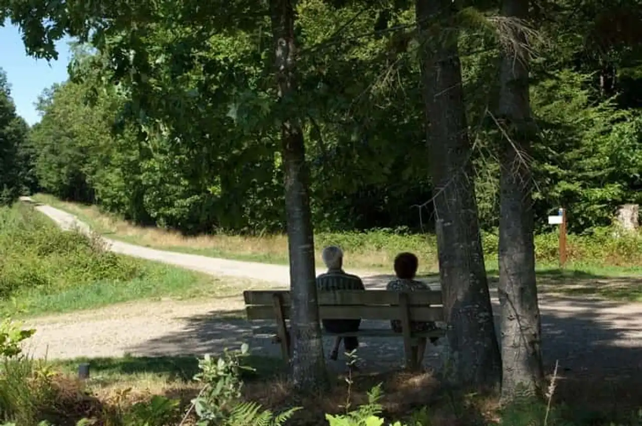
Photo credit: Flickr – Tourisme Haute-Vienne
- Duration 1h15
- Distance 5.6 km
- Denivelé 135 m
- Difficulty Easy
- See the hiking trail
A natural area of 105 hectares covered with trees, trails and bushes, this forest is less than 10 kilometres from Limoges.
It is a protected site (label PeFC), maintained and valued to raise awareness of its preservation. During this hike, you will cross a very diverse flora and fauna.
You will also follow a small stretch of water where some insectivorous birds love hunting! A permanent orientation course allows people of any age to discover the forest and its singularities.
Also, the Vaseix Forest has a small historical secret: traces of a very ancient Roman track crossing from east to west have been found. This route was used to connect Lyon to the Atlantic coast under the Empire of Augustus!
5. Limoges and porcelain buckle
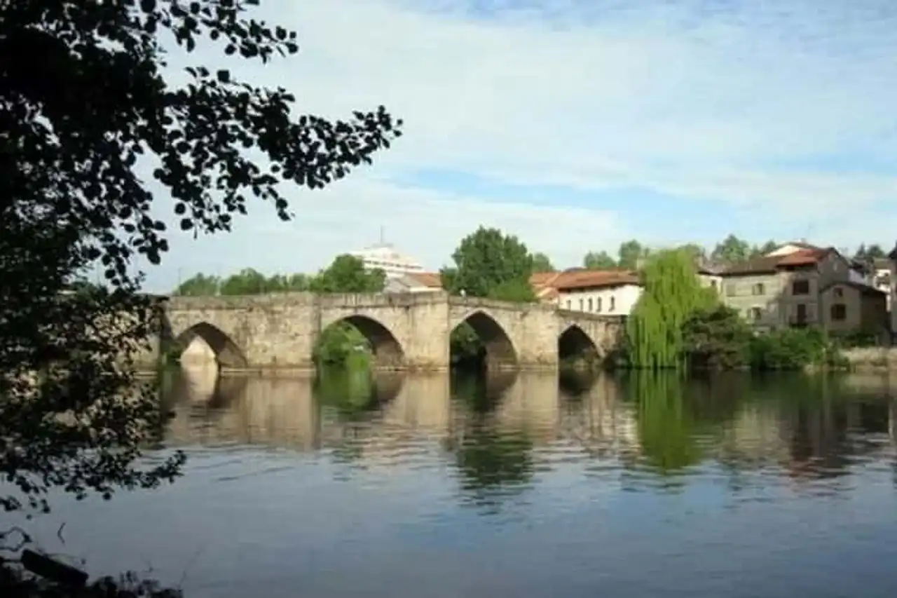
Photo credit: Alltrails
- Duration 2:15.
- Distance 9.3 km
- Denivelé 133 m
- Difficulty Average
- See the hiking trail
Hiking in Upper Vienna can also be urban. The proof is with this journey in the city!
Along Vienna and crossing the parks of Auzette and mas Rome, this hike offers you to visit Limoges otherwise. Indeed, in addition to changing in a rather quiet urban environment, you will discover the city.
Thus follow the birds in the Rue de la Filature, stop on the Pont Saint-Étienne built in the 13th century and take the time to observe the cathedral Saint-Étienne de Limoges, the Jardins de l’Évêché and the Musée des Beaux-Arts de Limoges.
The escape through the parks of the city will make you enjoy the calm of the city, on the banks of the Auzette, confluence of Vienna.
6. The path of the ponds of Marval
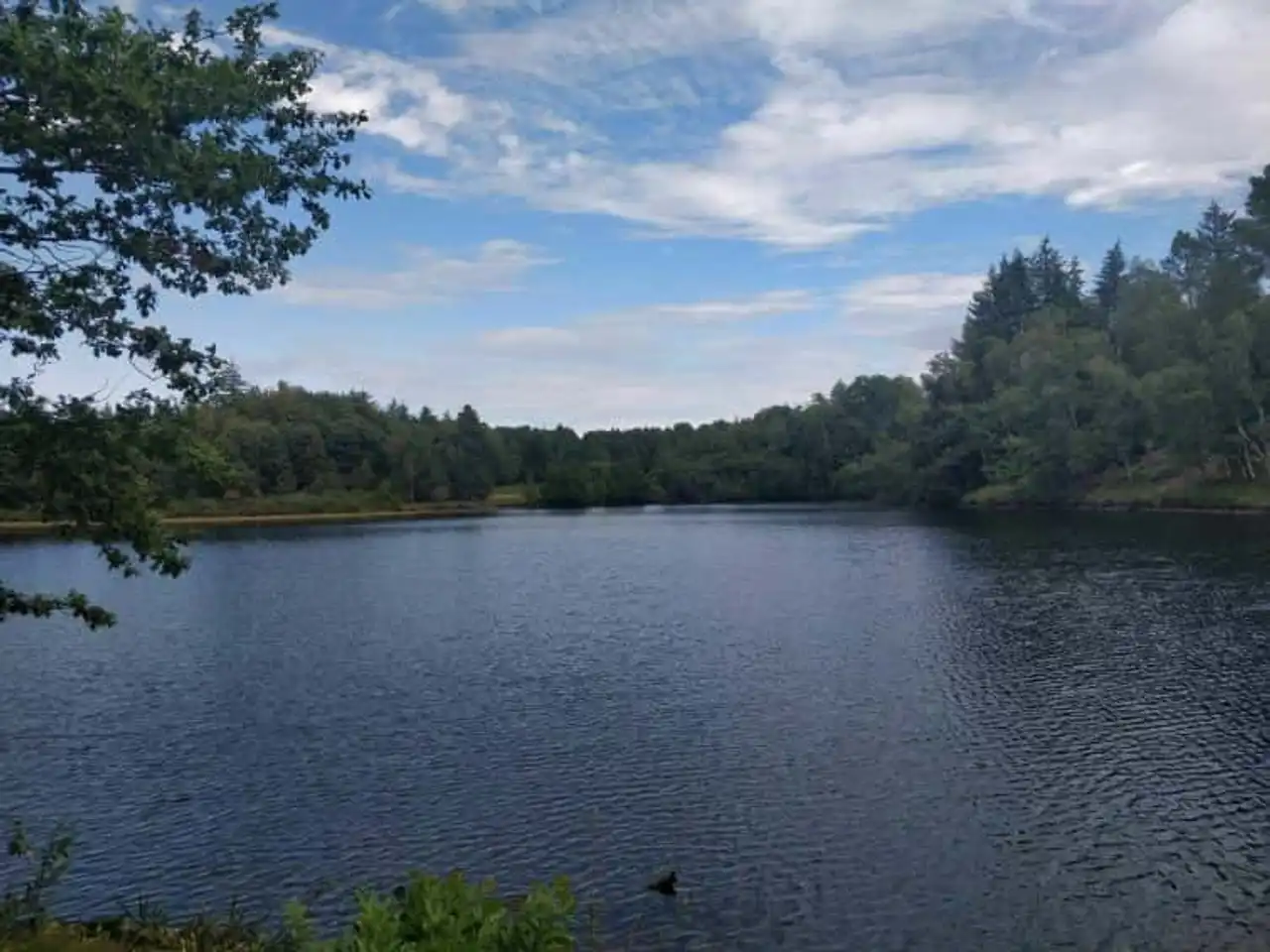
Photo credit: Alltrails
- Duration 2:30
- Distance 10.3 km
- Denivelé 154 m
- Difficulty Easy
- See the hiking trail
On foot, on horseback or by bike, go for a small tour of the ponds of Marval. In the north of the village of Marval, there is an area punctuated with many ponds, surrounded by forests cut by some secondary roads.
The trail that we are interested here offers the discovery of the Puy Chevalier pond and its forest as well as the Monfreboeuf pond, mainly.
But you will also see the Chautrandie stream that feeds these ponds. A real green, almost bucolic parenthesis.
7. The Menhir Trail
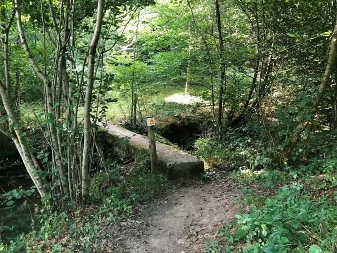
Photo credit: Alltrails
- Duration : 3h
- Distance 12.4 km
- Denivelé : 273 m
- Difficulty Average
- See the hiking trail
Megalithic Monument of Upper Vienna, the Menhir of Saint Paul (or Metayer) Measuring 5.20 metres , if we count the buried part. Intriguing and mysterious, he is the protagonist of many local legends, like many other menhirs.
Before you approach it, you will first pass through undergrowths that offer you on the occasion of beautiful views of the limousine countryside. On the way, you will also discover Lake Heart.
Once the menhir is observed, you will cross the city of Saint Paul to which the menhir is associated.
8. The loop between Peyrelade, Salomon and Le Pic
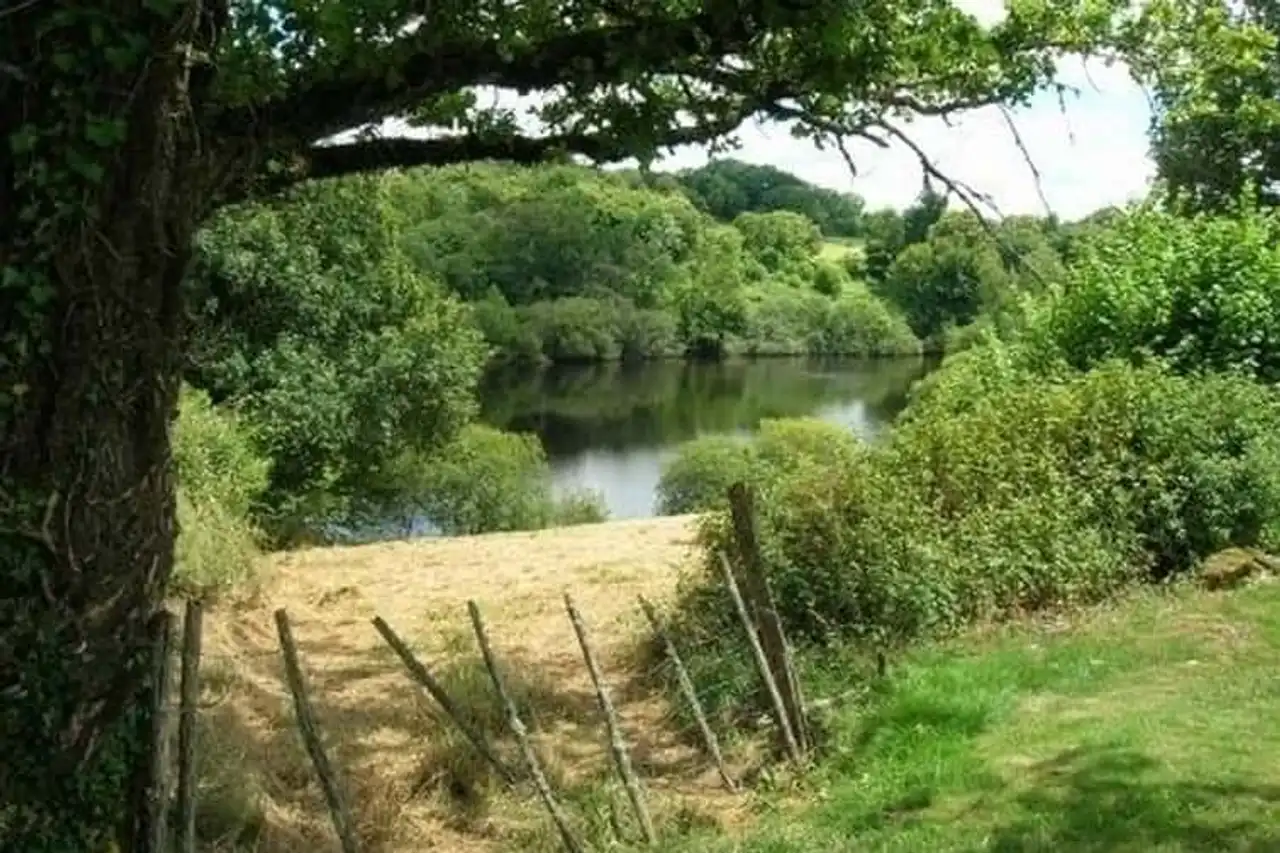
Photo credit: Alltrails
- Duration : 3h
- Distance 12.7 km
- Denivelé 350 m
- Difficulty Average
- See the hiking trail
From Montrol-Sénard, start this loop between three villages in Haute-Vienne. You will first meet Montmézérie at the foot of the Puy Tourteau (481 meters) before joining Peyrelade, the first stage.
Then, direction Solomon, passing through the small village of Montrocher, after you have been arrested on the edge of the expansion of the Chabrette River. Finally, go up the forest and its undergrowth to Le Pic, your last step before returning to your starting point.
This succession of villages, typical of the north of France, interrupted by forests and water points, makes this path one of the most pleasant hikes in Upper Vienna.
9. The Puy de Bar and Fayat Forest Trail
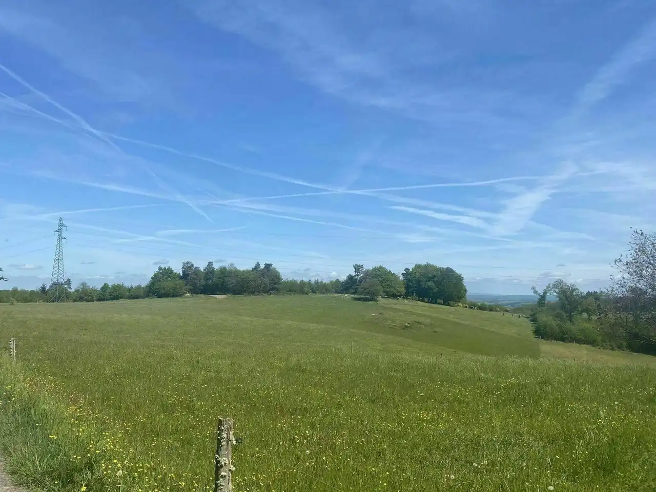
Photo credit: Alltrails
- Duration : 3h
- Distance 12.9 km
- Denivelé 253 m
- Difficulty Easy
- See the hiking trail
With its valleys and wooded and sub-bodied hills, the forest of Fayat will revitalize you.
During your hike, you will pass next to the Rompu pond and Gadanets, a set of small water areas. The path will then take you to the Puy Jaillant (495 meters) from which you can observe the area.
To close this hike in beauty, follow the Puy de Bar trail to its highest point, at 534 metres .
At the top, outside the magnificent views of the peaks and surrounding areas, you will see the small chapel of Notre-Dame-du-Bar, dating from the mid-19th century. Be careful, it is a private property.
10. The Circuit des Serves in Videix
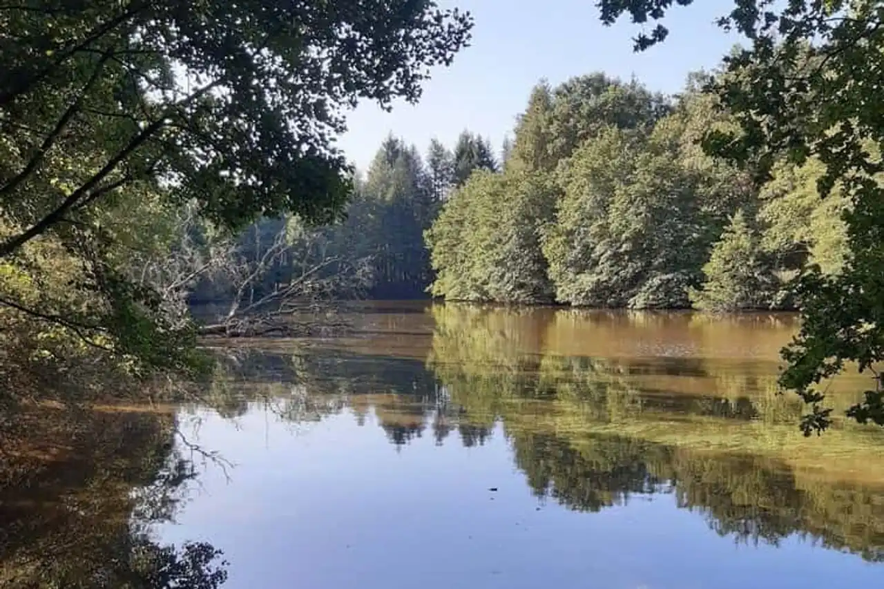
Photo credit: Alltrails
- Duration : 3h30
- Distance 14.8 km
- Denivelé 300 m
- Difficulty Average
- See the hiking trail
The Tour des Serves offers you to explore the limousine nature and pass through typical villages.
Thus, if the starting point is the beach of La Chassagne, it is interesting to linger at the nearby village. Moreover, you can enjoy the beach at the end of your journey.
You can also enjoy the view of the widening of the river, taking almost the form of a lake. On the way, do not miss the rich natural heritage of the region as well as its built heritage (fontaines, lavoirs...).
Finally, a detour by Videix, located only 5 kilometers from the source of Charente, will make you discover a pigeonnier and a Romanesque church, both dated the eighteenth century.
So, by which of these hikes in Upper Vienna will you start your discovery of the region?


Loading comments ...