The hike in Cassis is ideal for exploring this charming Provencal resort: between Calanques and the Mediterranean, the recipe proves!
Because of his situation in the heart of Calanques National Park Cassis marks the starting point of many walking routes to discover this beautiful natural region of southern France.
With its charming fishing port, its beach and its atmosphere (but also its fresh white wine), Cassis also turns out to be a very nice fall point for the after hike: always a big plus!
On the coast of Provence, it is certain that the weather conditions for hiking in Cassis are not perfect in the summer. Heat is a risk factor (always provide plenty of water and sun protections), and often, the Calanques National Park is prohibited from accessing visitors for fire risks (remember the day before your hike).
The rest of the year, however, is a real pleasure to hike Cassis, especially in the spring and back-season, but also during the beautiful winter days, for a perfect air clarity. The beauty of the Calanques is then at its paroxysm, and we will have the chance to avoid the periods of more frequentation: one stone, two strokes. Backpack, sticks and good walking shoes, let's start discovering Cassis' most beautiful hikes!
1. The trio of Cassis calanques: Port Miou, Port Pin and En-Vau
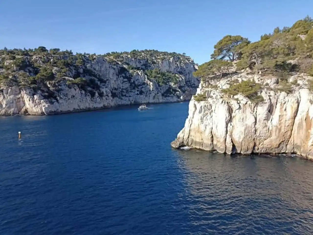
Photo credit: Alltrails
- Duration : about 2h50
- Distance 7.7 km
- Denivelé : 392 m
- Difficulty : easy
- See the hiking trail
Let's start with a great classic of the hike in Cassis, the tower of the Calanques that surround with the resort, on the side of the Calanques National Park. The departure is made directly on foot from Cassis, no transport is required.
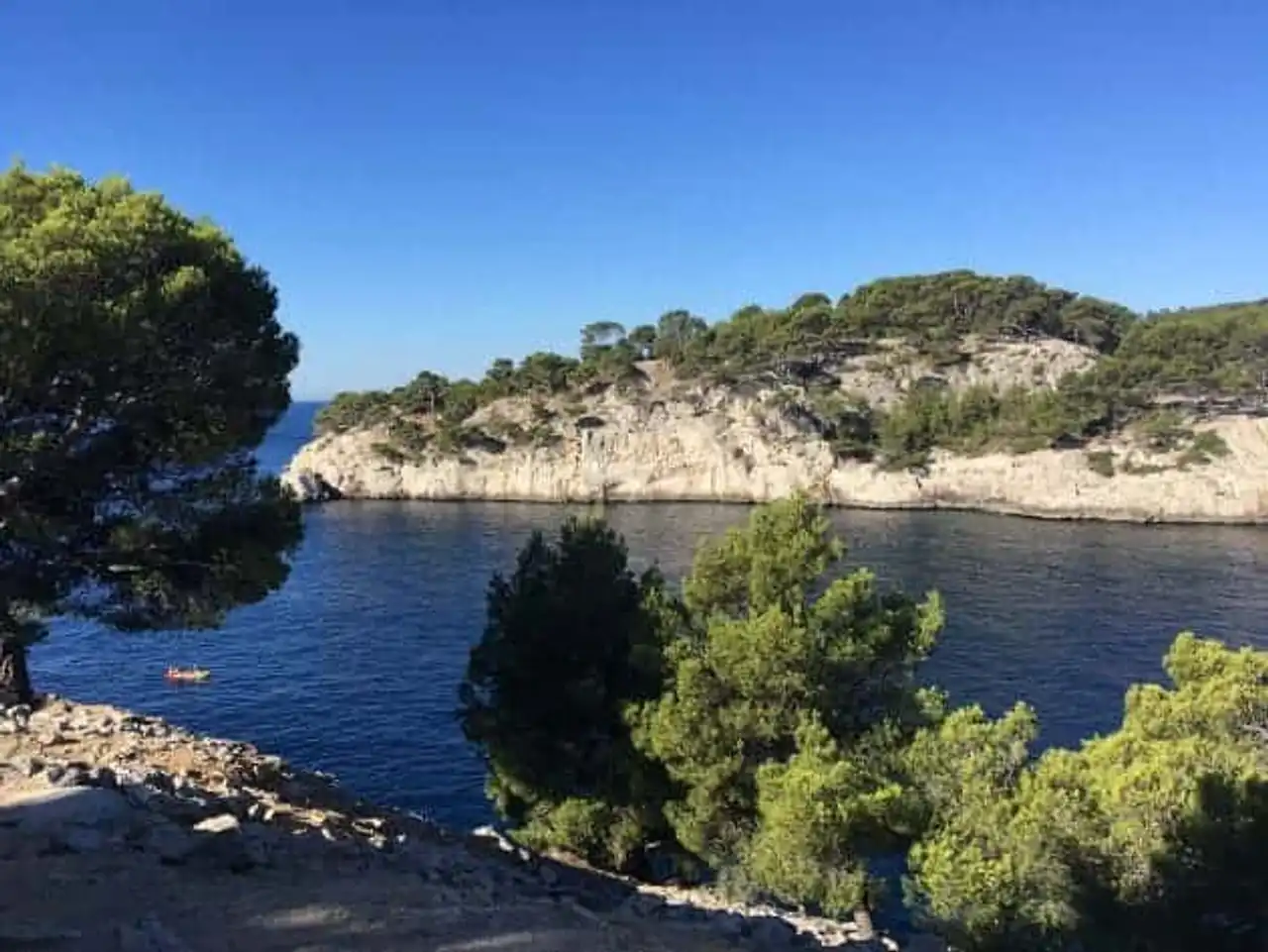
The itinerary in a first time runs along the very pretty calanque of Port Miou, with its alignments of sailboats moored in calm water. A swim stop is then possible at the charming beach of Port Pin, before reaching the point separating Port Pin from En-Vau. The decor is superb, and becomes even more climbing the cliffs overlooking the calanque of En-Vau, the nail of the show, and the objective of the exit, then back to Cassis by another way.
This path, accessible and without major difficulty, is often very frequented. Arrange to leave early in the morning, or at the end of the day to enjoy the colors and walk in optimal conditions.
2. En-Vau tip from Cassis easy version
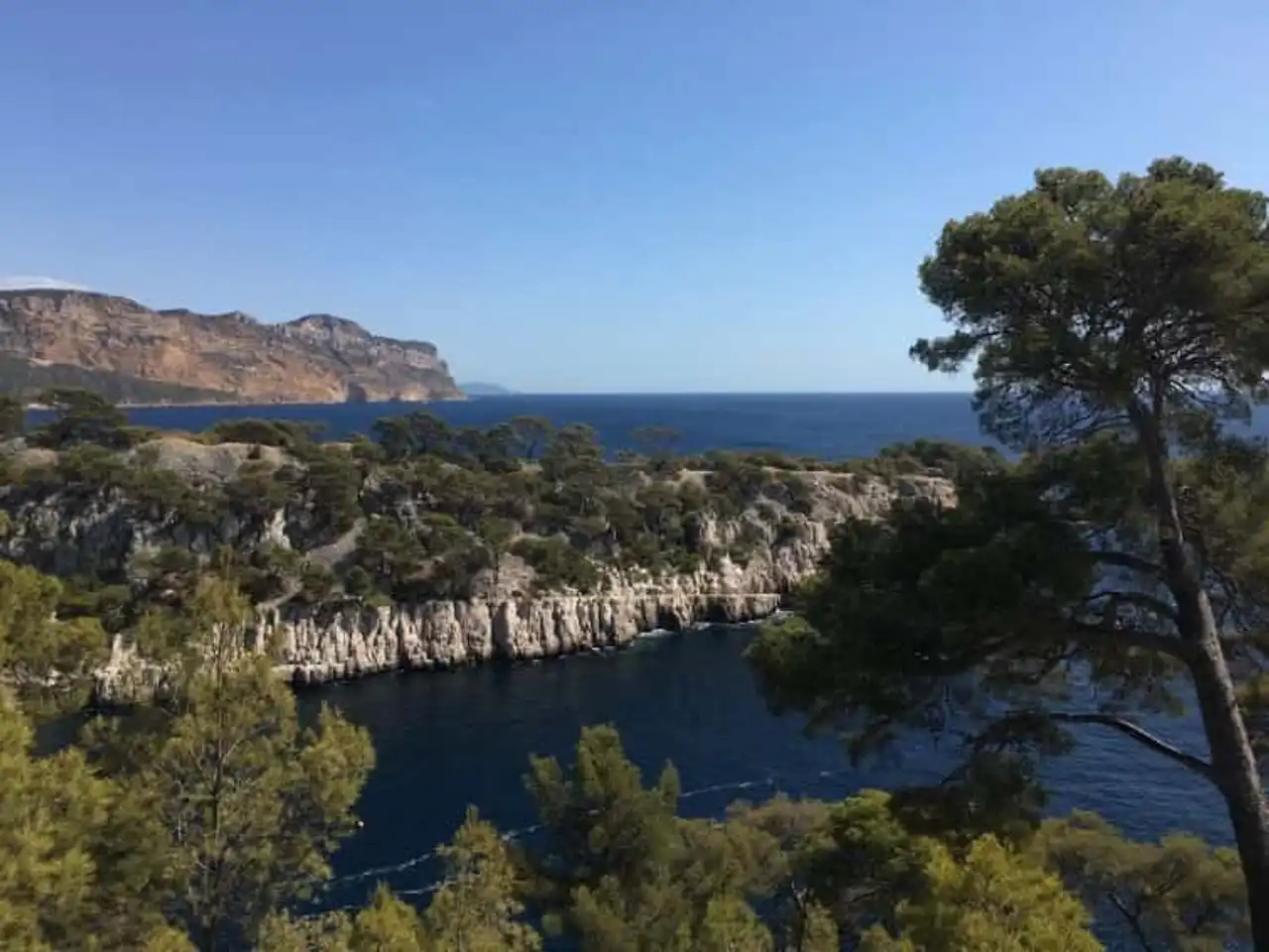
Photo credit: Alltrails
- Duration : about 1h30
- Distance : 4.3 km
- Denivelé : 167 m
- Difficulty : easy
- See the hiking trail
If the previous version of trekking in Cassis seems too difficult in terms of elevations and kilometers, then you can always opt for this variant. The departure is done in the same place, to take the same path along the Layer of Port Miou.
Follow the itinerary, easy and well traced, to reach the famous point separating the calanque of Port Pin from that of En-Vau, to appreciate the point of view and the striking beauty of the National Park of the Calanques.
The return is simply by the same route, by rebrouting path, direction Cassis. A small walking-level hike is a great way to get your legs down the time of a short walk. Once again, beware of the affluence, time and season.
3. On cliffs on the Belvedere des Calanques
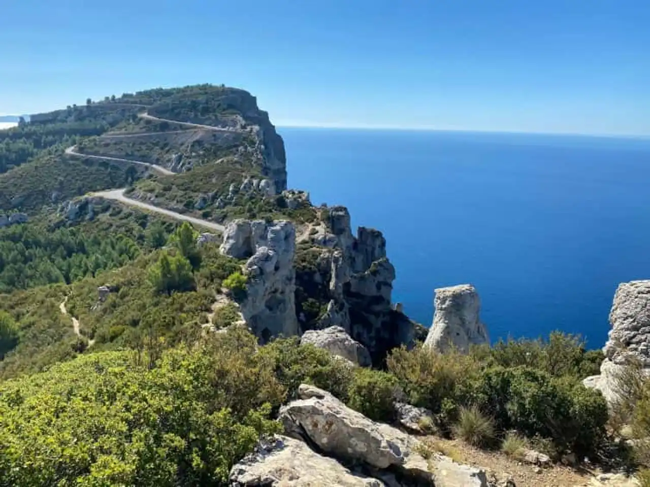
Photo credit: Alltrails
- Duration : about 3h20
- Distance 5.5 km
- Denivelé 792 m
- Difficulty difficult:
- See the hiking trail
The National Park of the Calanques does not include the territory of the commune of Cassis, but includes the cliffs of Cap Canaille and Soubeyrannes that stand between the station and La Ciotat Southeast. Wait for beautiful limestone landscapes, just as spectacular (this is the highest sea cliffs in Europe), as on the Calanques side of Cassis.
Be careful not to rely too much on the small number of kilometers to go! This hike in Cassis is of a difficult level, with technical passages and a solid denived. It remains uncommon to walkers suffering from vertigo... The others, on the other hand, will enjoy several viewpoints offering breathtaking views on these brown-ocre limestone cliffs and on the Mediterranean Sea.
Go with good shoes and sticks, early in the morning or at the end of the day for the most striking brightness possible.
4. La calanque d’En-Vau depuis le Col de la Gardiole
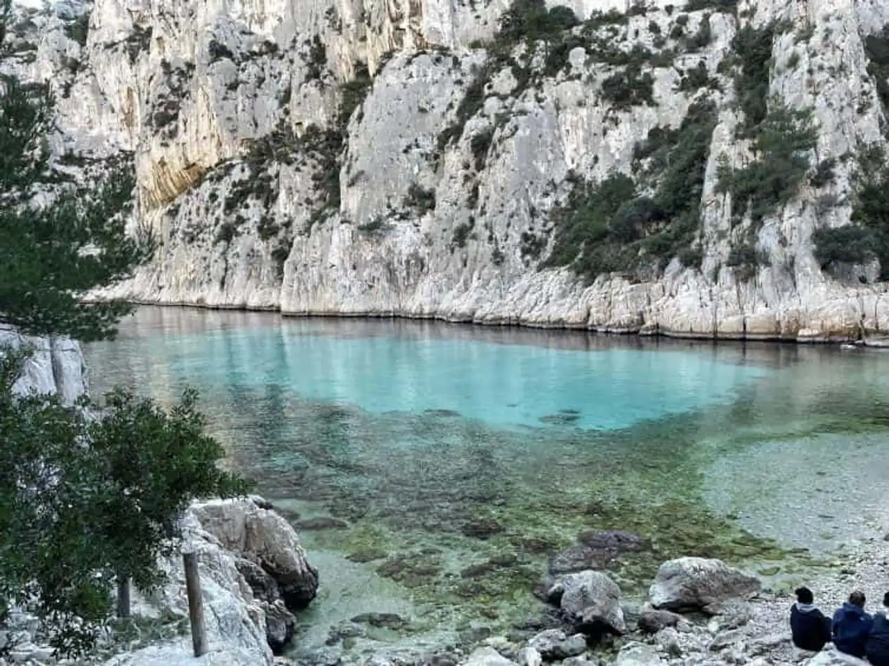
Photo credit: Alltrails
- Duration : about 3h
- Distance 8.5 km
- Denivelé : 344 m
- Difficulty Average
- See the hiking trail
There are different ways to rally the calanque of En-Vau, following various paths of the Parc national des Calanques. In this version we do not start the hike in Cassis, but from the Col de la Gardiole, where you will find a car park where to leave your vehicle.
From there, the trail runs through the Mediterranean landscapes typical of the Calanques Mountain, on a path probably less frequented than at the start of Cassis. The route gradually leads to the En-Vau calanque, known as one of the most beautiful in the region. If you manage to get there a day of low affluence, magic works even more!
Think about the swimsuit for a refreshing dip in the clear waters, before leaving by another path to form a loop to the starting point, not without enjoying some beautiful views of the sea on the way.
5. Walk for the view of the Little Prince Trail
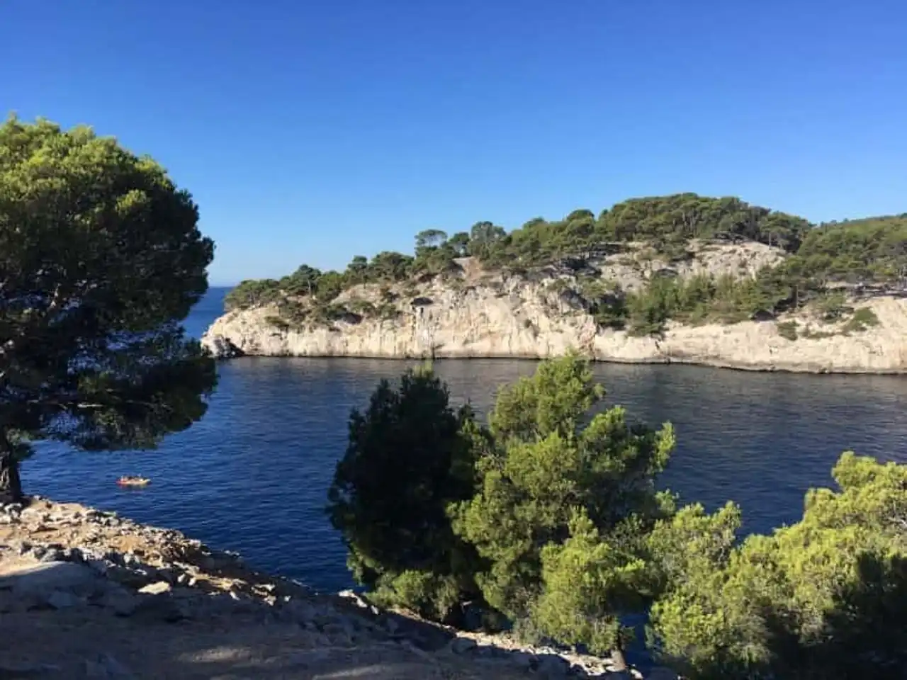
Photo credit: Alltrails
- Duration approximately 30 minutes
- Distance 1.6 km
- Denivelé 48 m
- Difficulty : easy
- See the hiking trail
This hike in Cassis is more in the category walking. The Trail of the Little Prince makes the tour of the peninsula of Port Miou in less than 2km, and does not present any difficulties in the course of the road, if it is the strong heat some days!
This route is baptized in tribute to Antoine de Saint-Exupéry, author of the famous Petit Prince, who disappeared at sea by flying his plane off Marseilles, and thus not very far from Cassis and its Calanques.
During this marked, quiet and looped course that is taken directly from Cassis, several explanatory panels embellish the trail and inform you about the history of the Calanques, the formation of the massif, fauna and flora, etc... The walk offers one of the breathtaking views on the Subeyranne cliffs and Cap Canaille, which peak at 394 meters above the Mediterranean, then on the Calanque of Port Miou.
6. On the heights of Cassis at Mont Gibaou
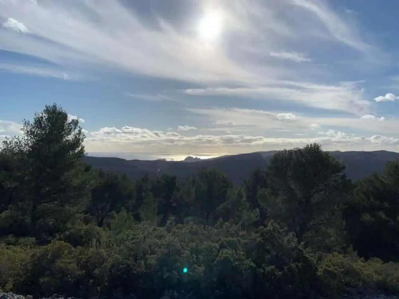
Photo credit: Alltrails
- Duration : about 2h50
- Distance 7.7 km
- Denivelé : 336 m
- Difficulty Average
- See the hiking trail
Let’s change a bit of area for this hike in Cassis, which this time does not take place in the Calanques, or in the Cap Canaille, but offers you to explore the heights that dominate the area of the resort to Roquefort-La-Bédoule, the hinterland.
The aim of this pretty walk, which runs through fragrant pine trees in a very Provencal setting, is to reach the top of Mount Gibaou. There is a beautiful 360° view of the area, including the Baie de Cassis. The route then forms a loop, to reach the starting point.
Without being excessively difficult, we will be careful on the way to follow the good track. On Mount Gibaou, the trails are numerous and go in all directions, so to extend the ride for the walkers too distracted.
7. Tour of Cassis
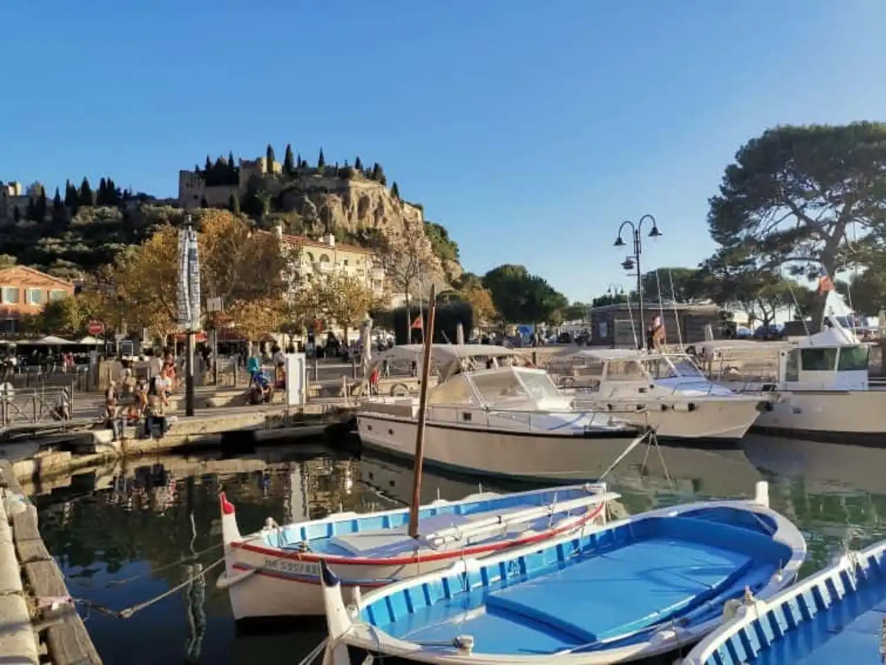
Photo credit: Alltrails
- Duration approximately 45 minutes
- Distance 2.6 km
- Denivelé 32 m
- Difficulty : easy
- See the hiking trail
A hike in Cassis can take the form of a thorough visit of the resort, on foot of course. This is what offers you this well-designed itinerary to make the turn of Cassis, passing from both sides of the port docks, along the colored facades of the pretty houses of the cassidaines, through the small streets of the historic center, the surroundings of the beach of the Grande Mer, etc...
8. The path of Cap Canaille de Cassis in La Ciotat
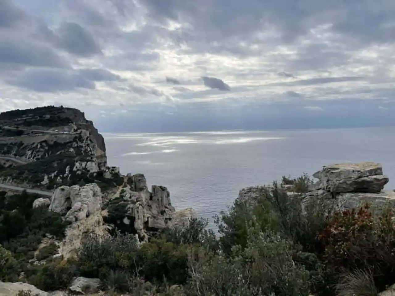
Photo credit: Alltrails
- Duration : about 6h30
- Distance 14 km
- Denivelé 1252 m
- Difficulty difficult:
- See the hiking trail
Finish this selection of the most beautiful hikes in Cassis by a spectacular route, but reserved for experienced hikers.
The route climbs steeply to the Cap Canaille, whose ochre cliffs already dominate the Baie de Cassis. Then, the path is layered on the top of the cliffs of Soubeyranes, astonishing geological patchwork of limestone and marnes, plunging dizzily into the Mediterranean. Arrived at the Rocher de la Grande Tête, you overlook the sea at 394 meters above sea level, with a magnificent view of all the surroundings. Further on, the Semaphore makes you swing on the other side of the massif, with views of La Ciotat, its Calanques and its shipyards.
Once at the bottom, the bravest go back in the other direction, but it is also possible to get back to Cassis by bus, to limit the difficulty of the day.




Loading comments ...