Once you have completed the tower of the ramparts, there are still many hikes to do in Saint-Malo to discover the Corsary City and its surroundings... Prepare yourself to make the full of iodized air while exercising your legs over steps, as beautiful as varied.
With the passage of a great mythical hiking path, the GR34 that makes the whole tour of the Brittany , and many other loops in the surrounding area, Saint-Malo announces itself as a destination that will delight hikers in love with coastal paths and marine landscapes (in the absence of large elevations). What is more pleasant, indeed, than to combine the walk and the air of the wide?
On the Breton coasts, the hiking season extends over the whole year, with a predilection for the period of May to September . Certainly, it will sometimes be necessary to provide raincoat clothing, and to protect itself from the big wind... However, temperatures, even in the middle of the summer, are seldom a discomfort for long walks.
The most beautiful hikes in Saint-Malo are ready in all seasons!
1. From Saint-Malo to Dinard by the coastal path
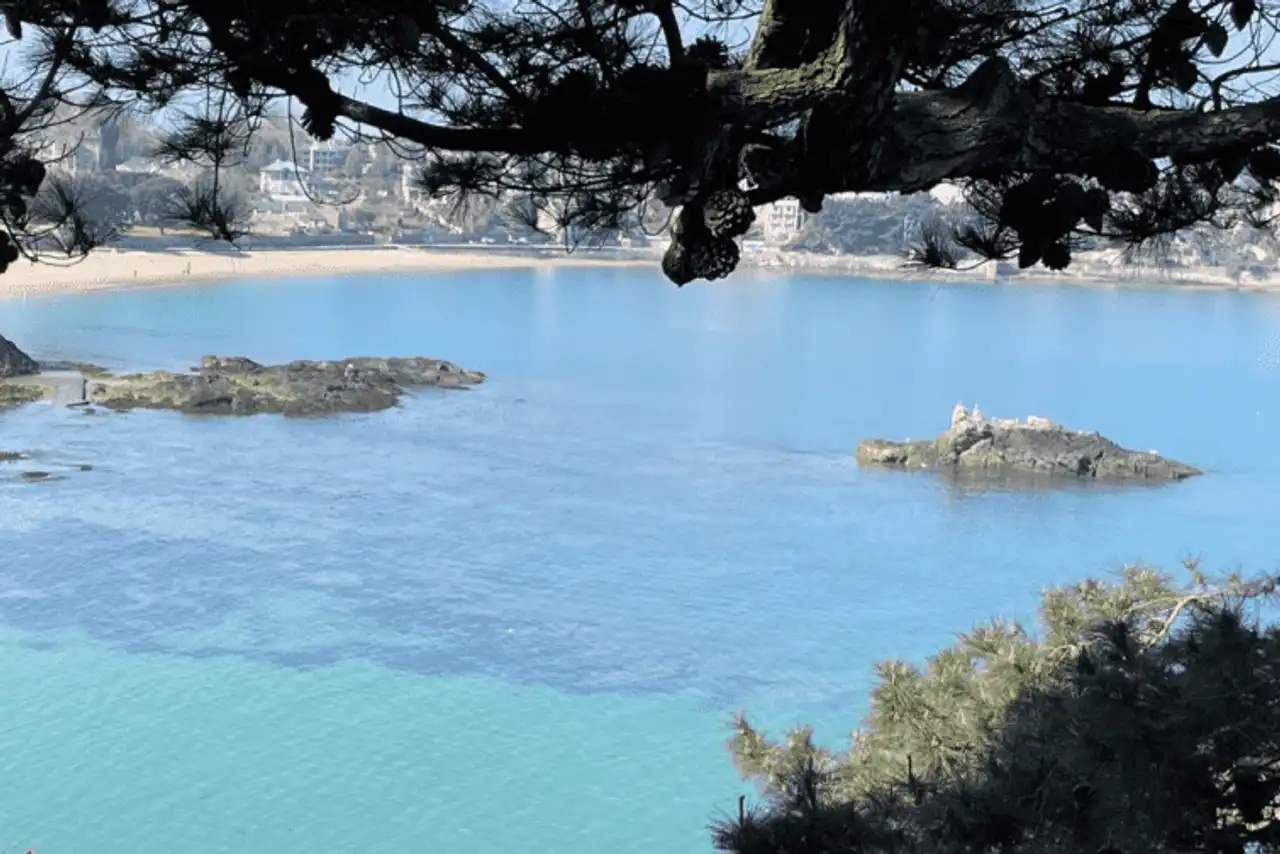
Photo credit: Alltrails
- Duration : about 3h30
- Distance 14.8 km
- Denivelé 286 m
- Difficulty Moderate
- See the hiking trail
We start with a classic of hiking in Saint-Malo: from the port, follow the route GR34 along the coast to reach Dinard on the other side of the Rance estuary. The route, which includes the crossing of the Rance dam, is simply magnificent, offering many beautiful views of the sea and the surrounding area, but also on Saint-Malo from another angle.
Itinerary of moderate difficulty but rather long in its entirety, the route is linear: a mode of transport for the return: car ( 25 minutes about), or line bus connecting the two cities.
2. The tower of the tip of the Varde
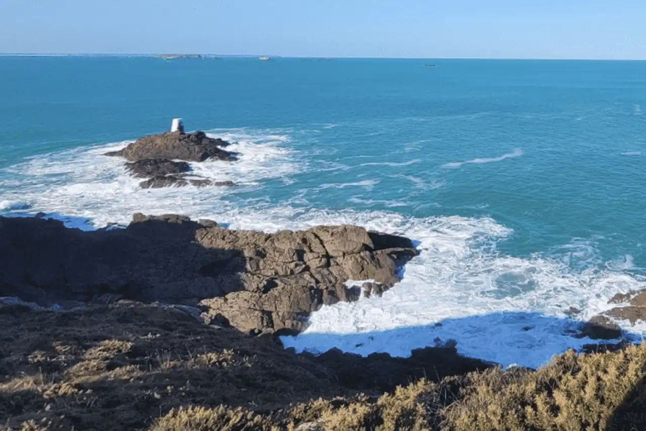
Photo credit: Alltrails
- Duration : about 2 hours
- Distance 8.4 km
- Denivelé 89 m
- Difficulty Easy
- See the hiking trail
From the beach of Minihic ( 15 minutes by car , 20 minutes by bike ), here is a shorter hike in Saint-Malo, easy in its entirety and accessible to the family.
The aim will be to take a look at the tip of the Varde, where you can enjoy a beautiful view of Saint-Malo, passing through the caves of Minihic. The surrounding area is then walking, for a varied walk to the tip of Rothéneuf, without forgetting a swim break, if the weather is ready, at the beach of Val. The return to the loop allows you to compose a varied route.
3. Grouin Point Exploration
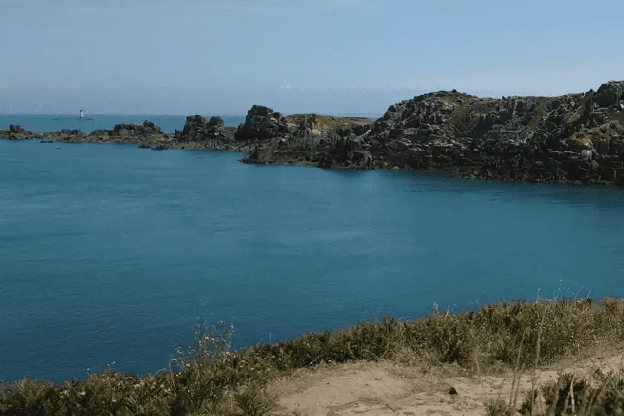
Photo credit: Alltrails
- Duration : about 3h
- Distance 12.1 km
- Denivelé 271 m
- Difficulty Moderate
- See the hiking trail
Let's continue a little further in the direction of Cancale, for a hike around Saint-Malo beginning at the beach of Petit Port ( 30 minutes by car ). The aim of the walk is to reach the tip of the Grouin, rocky, wild and beaten by the winds, from which there is a magnificent view of the bay of the Mont Saint-Michel ... a grudge to take your eyes!
Also not to be missed are the many gulls that populate Landes Island, a natural reserve parallel to the tip. The route allows to walk long by the sea, to stop at the beach of the Verger at the go or at the return, and to return to the starting point by making a loop.
4. A complete tour of Saint-Malo and its forts
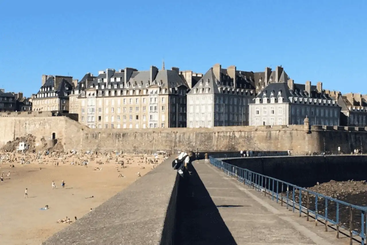
Photo credit: Alltrails
- Duration : about 1h45
- Distance 6.9 km
- Denivelé 86 m
- Difficulty Easy
- See the hiking trail
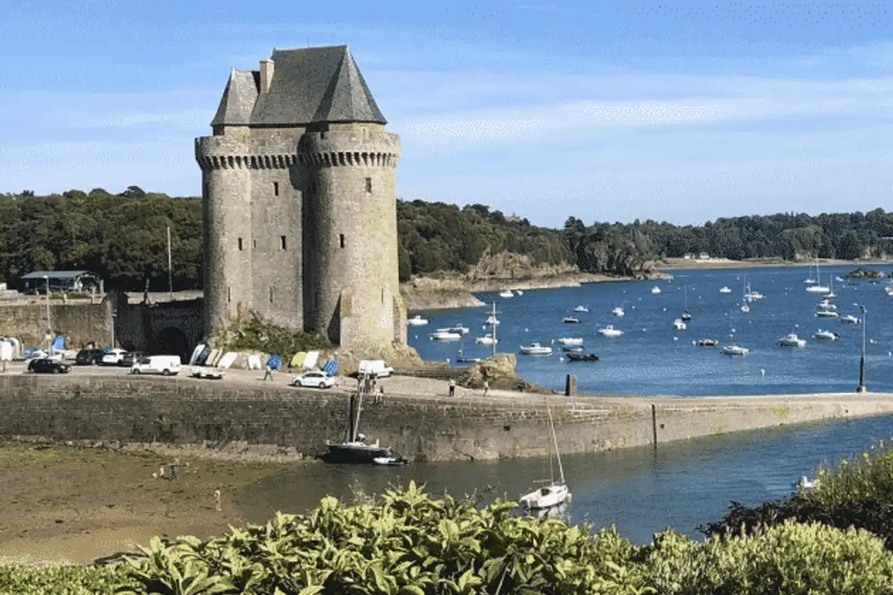
Anyone who visits Saint-Malo will undoubtedly take the tower of the ramparts of the Corsary City, burying the old town. This path, easy to realize in its entirety, invites you to widen the walk!
On the programme of this very complete route: discover the Fort National by crossing the beach of the Sillon, along the port to the Môle des Noires, take the passage of the Bés for a pilgrimage on the tomb of Châteaubriand in the Grand Bé, then a visit to the fort of the Petit Bé... A hike in Saint-Malo in the form of a tourist visit its great musts .
Attention to the tide schedules for this exit: the Bees are not accessible by foot only at low tide !
5. The Meinga Point Tower
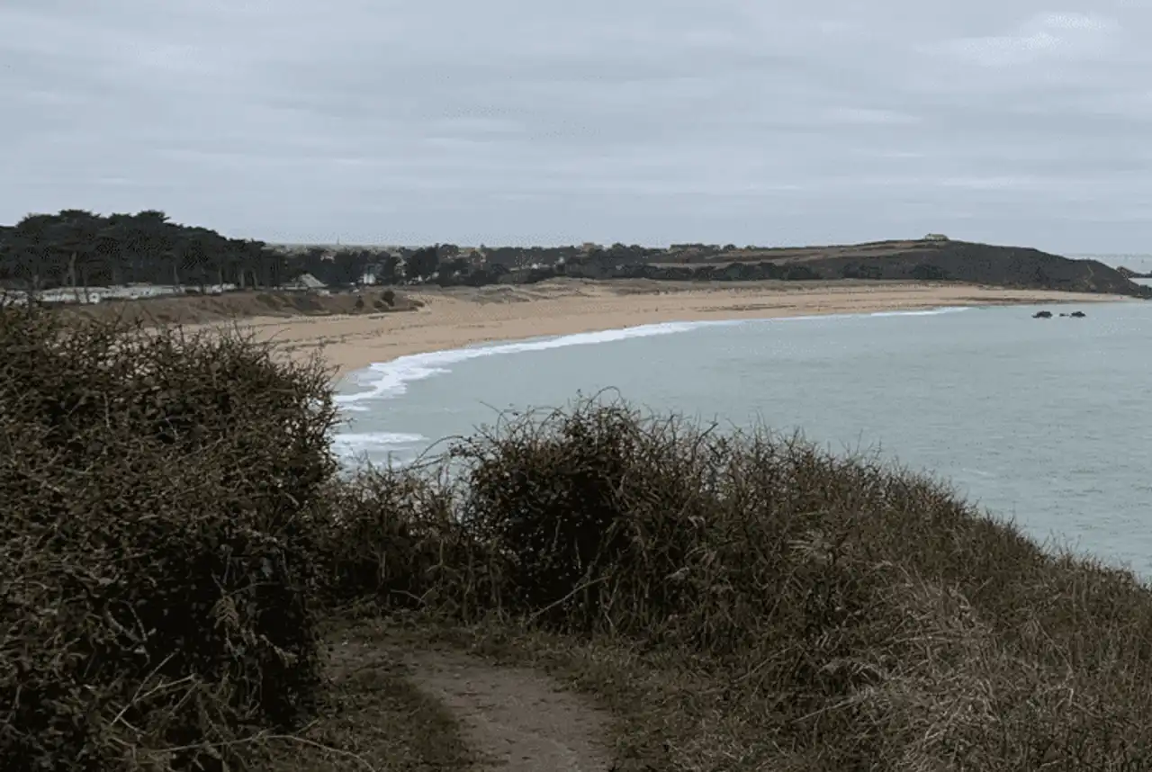
Photo credit: Alltrails
- Duration : about 1h
- Distance 4.2 km
- Denivelé : 93 m
- Difficulty Moderate
- See the hiking trail
Do not necessarily rely on the small number of kilometers of this hike around Saint-Malo, which can be more technical than it seems. The meinga tip is a beautiful sample of the coast of Emerald where to fill the sea breezes.
Some passages in the rocks require a bit of climbing and are not recommended in rainy weather, as well as hikers suffering from vertigo! The Chevrets beach, starting point of the exit ( 25 minutes de Saint-Malo), is excellent for a break by the sea on the back of a walk.
6. Coastal hike on Mont Saint-Michel bay from Cancale
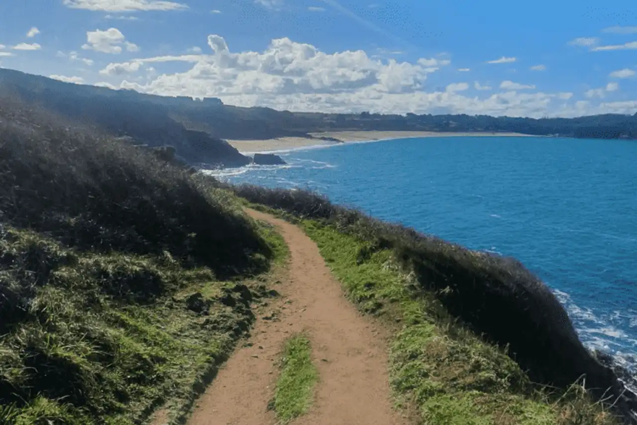
Photo credit: Alltrails
- Duration : about 3h30
- Distance 12.6 km
- Denivelé : 389 m
- Difficulty Moderate
- See the hiking trail
The departure of this hike around Saint-Malo begins directly in Cancale, in 30 minutes drive . From the beach, the route is no longer easy: just follow the coastline, go beyond the heart of Cancale and reach Port Mer, just upstream of the tip of the Grouin.
The hike, 100% coastal, opens all over the vast bay of Mont Saint-Michel: memorable.
7. The Minihic-sur-Rance loop
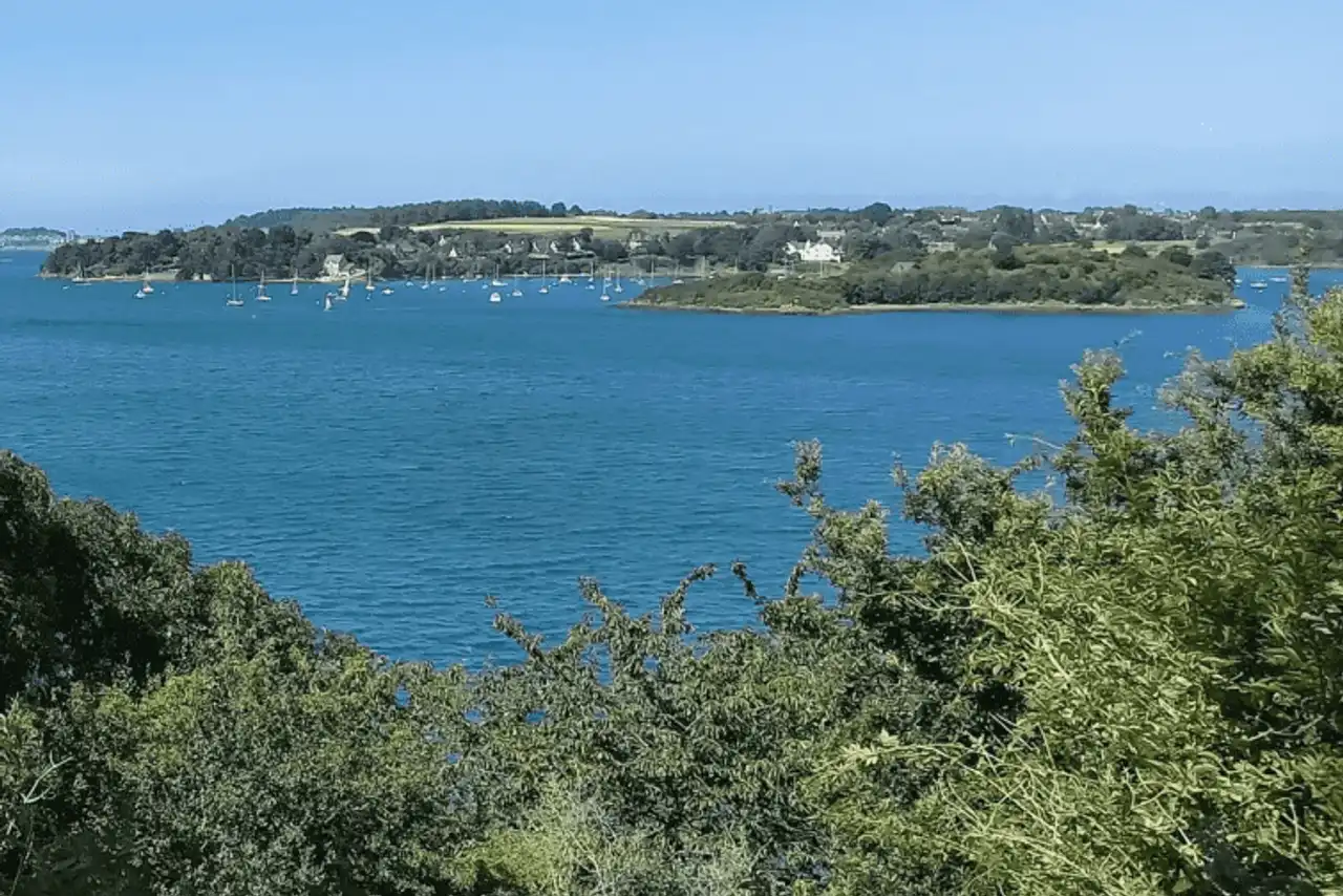
Photo credit: Alltrails
- Duration : about 3h
- Distance 11.7 km
- Denivelé 180 m
- Difficulty Easy
- See the hiking trail
Nice hike around Saint-Malo, this route offers you to discover the town of Minihic-sur-Rance, upstream of the Rance estuary. To get to it, count 22 minutes drive only, passing through the Rance Dam.
Aside from the tribulation of the coast, the route, in the form of a large buckle, is partly campagnard but takes place mainly on the banks of the estuary of the Rance, mixing various landscapes, small local heritage and beautiful views.
8. The loop of Saint-Suliac
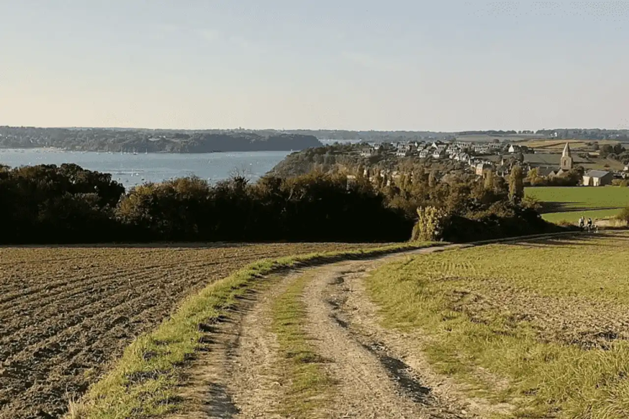
Photo credit: Alltrails
- Duration : about 2h40
- Distance 10.6 km
- Denivelé 202 m
- Difficulty Easy
- See the hiking trail
This hike around Saint-Malo echoes the previous one, with a route of the same barrel but on the other side of the Rance estuary, on the Saint-Suliac side. Count 20 minutes drive to reach the starting point.
The coastal path is once again at the heart of the route, which nevertheless accumulates its small denial at the level of Mount Garrot for beautiful views on the estuary of the Rance. The rando must be at low tide to keep feet dry.
9. Cultural exit at the Cité d’Alet
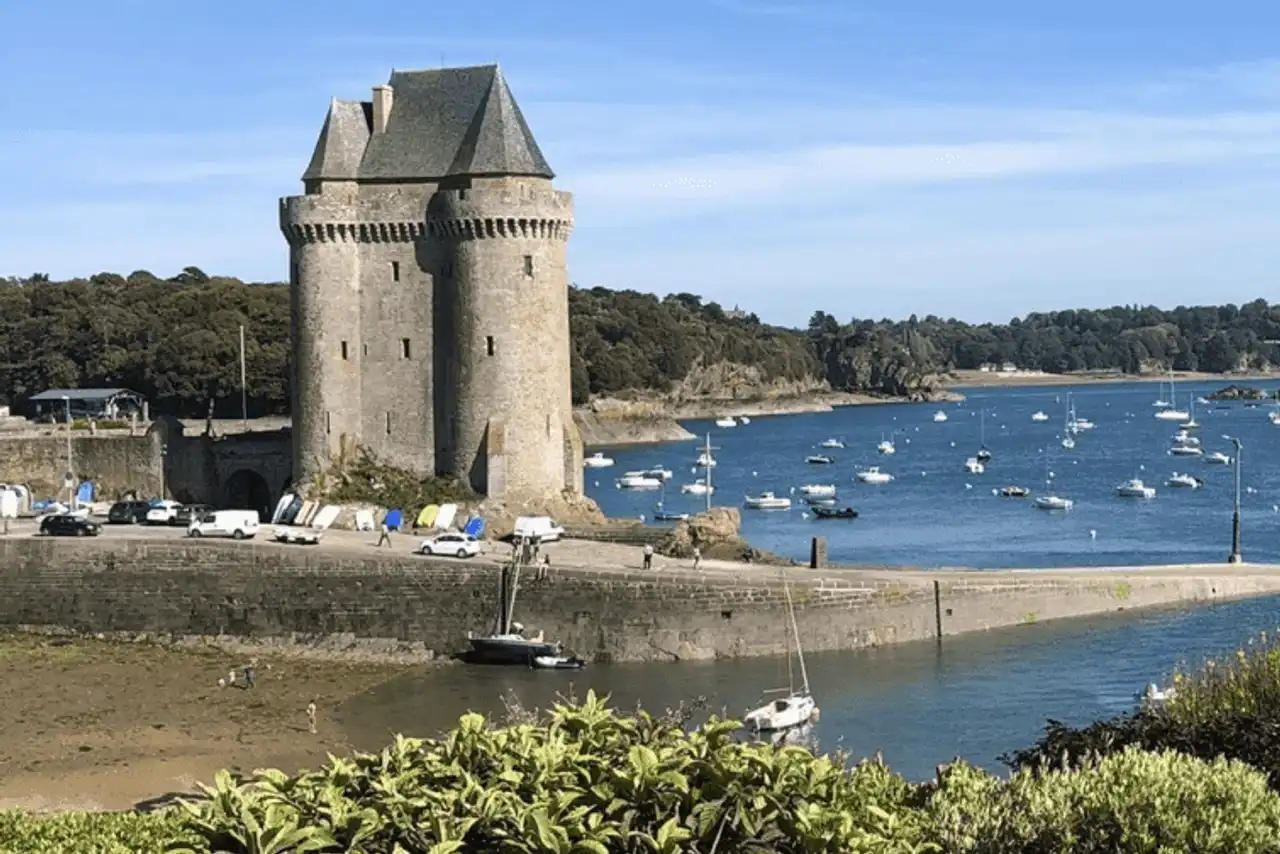
Photo credit: Alltrails
- Duration approximately 45 min
- Distance 2.4 km
- Denivelé 48 m
- Difficulty Easy
- See the hiking trail
A hike near Saint-Malo that gets closer to the ride by its length, with the advantage of making it easily accessible by family and by all time. It is possible to reach the starting point directly on foot from the ramparts of Saint-Malo, in 20 minutes walk .
The idea is simple, making the full tour of the city of Alet, the first settlement of the historic Saint-Malo. In addition to the views of the Rance, the exit is willingly cultural, with the Memorial 39/45, the old blockhouses, the Vauban citadel and the old Gallo-Roman speaker.
10. The seafront of Saint-Malo
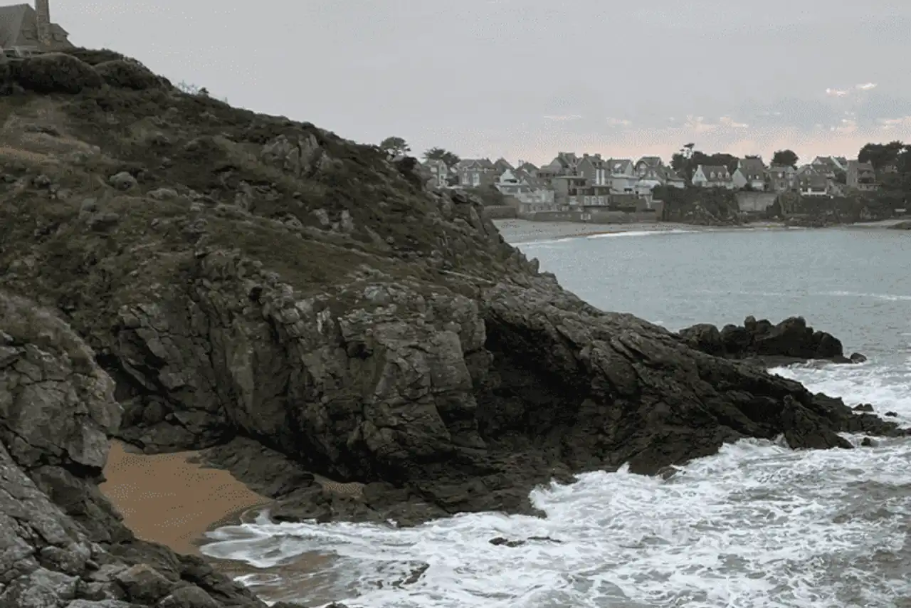
Photo credit: Alltrails
- Duration : about 3h30
- Distance 14.5 km
- Denivelé 165 m
- Difficulty Moderate
- See the hiking trail
It is not necessary to go far to find a good hike in Saint-Malo: here, the departure can be made directly from the ramparts of the Corsary city.
The route follows the line of the seafront of the seaside of Saint-Malo, going back to the beaches of Sillon, Hoguette and Rochebonne. Possibility to walk on the sand, to muscle the effort a little, and to get to the water if the sun is at the rendezvous.
11. The small tour of Besnard Island
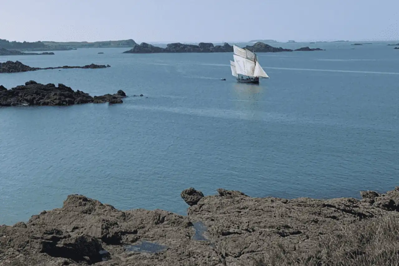
Photo credit: Alltrails
- Duration : about 30 min
- Distance 1.6 km
- Denivelé 28 m
- Difficulty Easy
- See the hiking trail
The Besnard Island Tour is a lovely hike near Saint-Malo, ideal for an easy outing with the children: you can take the air in a beautiful marine setting, while enjoying beautiful views.
The starting point is at the level of the Chevrets beach ( 20 minutes by car from Saint-Malo, to land on the sand at the end of the walk.
12. The loop of Saint-Briac
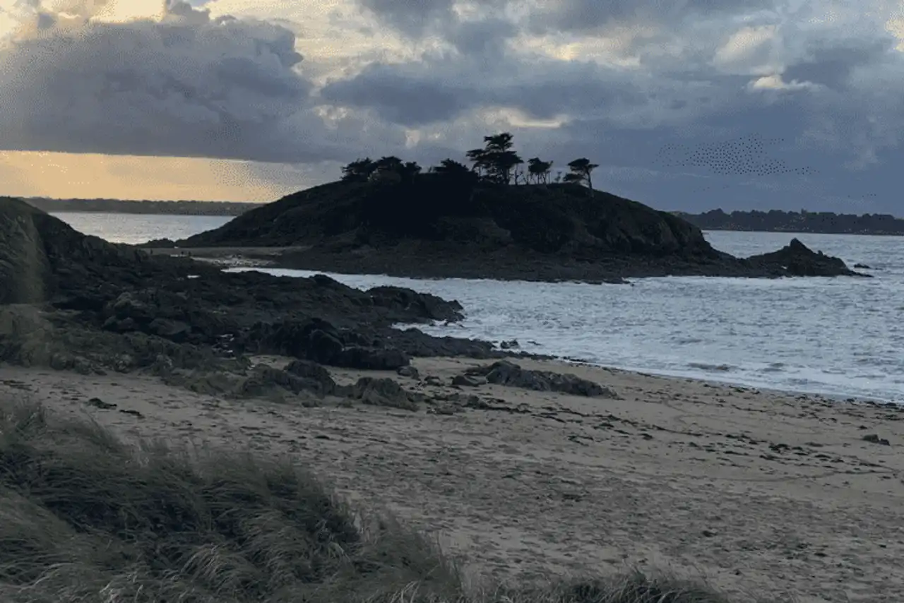
Photo credit: Alltrails
- Duration : about 4h
- Distance 16.7 km
- Denivelé 228 m
- Difficulty Moderate
- See the hiking trail
Let's change a little area to conclude this selection of the most beautiful hikes around Saint-Malo, starting from the side of Saint-Briac-sur-Mer ( 25 minutes drive ).
The route first crosses Saint-Briac, along the seafront and the old town, via the emblematic Nessay castle. The trail then becomes straight coastal, passing through several beaches and peaks, offering admirable views of Cape Fréhel and Saint-Malo. After Saint-Lunaire, return to the starting point by the way of the fields!


Loading comments ...