Explore the sublime Bouches-du-Rhône territory by discovering the best hikes around Marseille.
Marseille is obviously one of the largest cities in the Mediterranean. A secular commercial crossroads that have become a major metropolis, it is known for its Old Port or Notre-Dame-de-la-Garde Basilica.
Very close, Le Parc national des Calanques and the Marseilles hinterland offer visitors beautiful sunny excursions. At Wanderlix we wanted to get away from the beaten paths to offer you hiking routes around Marseille.
Seaside, garrigues or steep hills: there are for all tastes and whatever your physical condition. We'll let you get your boots up, the cigales are waiting for you!
1. Calanques of Sugiton and Morgiou
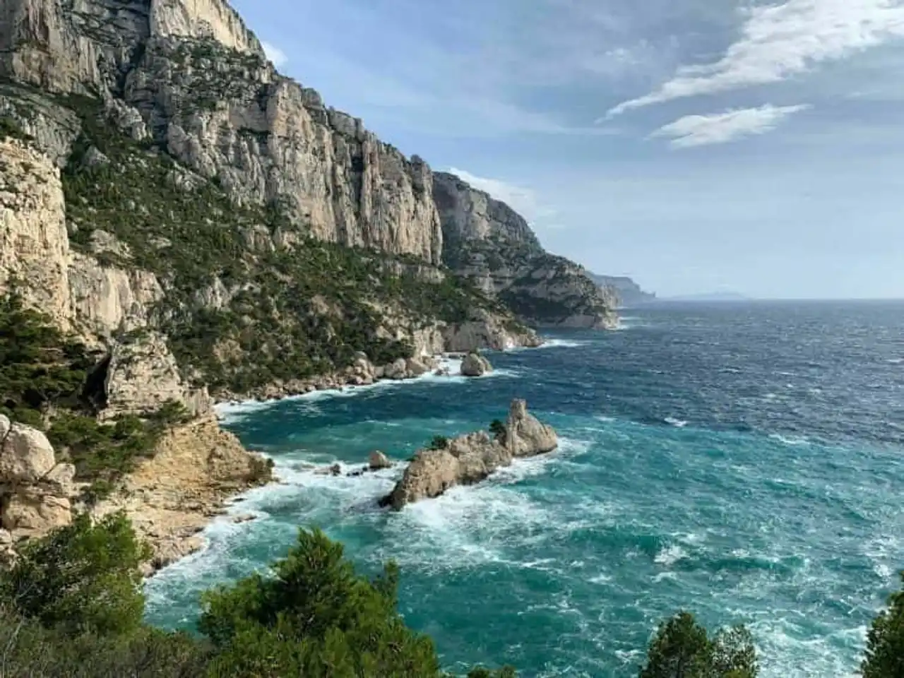
Photo credit: Alltrails
- Duration : about 4h
- Distance 10.8 km
- Denivelé 523 m
- Difficulty : Difficult
- See the hiking trail
Sugiton and Morgiou are one of the best hikes around Marseille. From the parking lot of the restaurant Ze Bar to Morgiou, follow the (perfect) signage. The direct path to Sugiton will lead you quickly to this one.
What a show offered by these light limestone cliffs seemingly erected in blue water! Along the calanque, you will follow red marking to his neighbor, Morgiou. With a nice small fishing port, the village of the same name will be to cross to reach the way back.
We need to plan good shoes and of sun cream to fully enjoy your getaway.
2. Tour of Mount Puget and Sugiton needle via Centaure
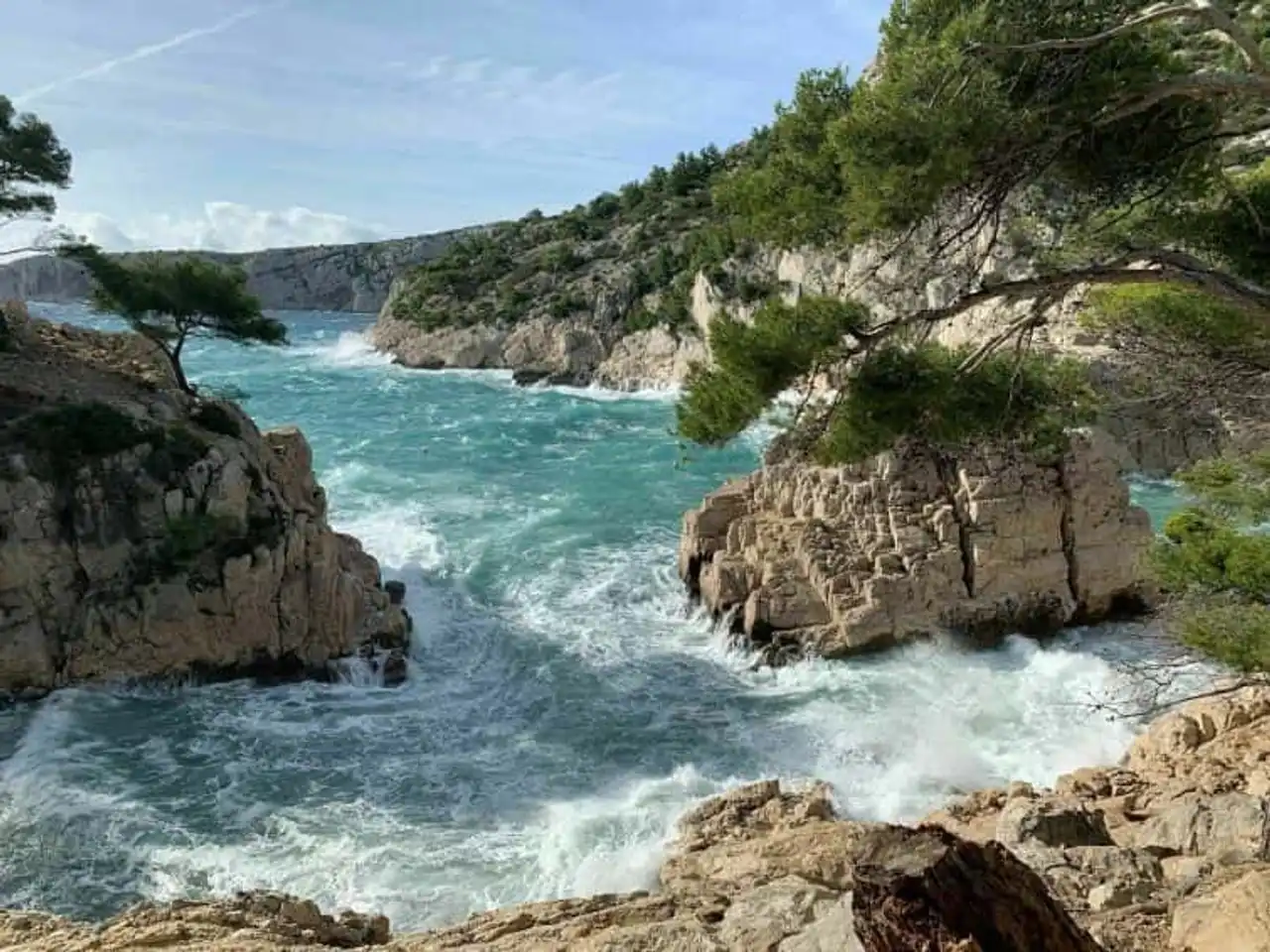
Photo credit: Alltrails
- Duration : about 5:15
- Distance 13.7 km
- Denivelé 817 m
- Difficulty : Difficult
- See the hiking trail
The mistral Do you know? This emblematic wind of the Rhone valley can blow strong during this hike around Marseille. It is the only negative point .
For the rest, once parked at the Gineste Pass, you will take the direction of the Candelle Pass and the splendid Ricard Pass. Mount Puget is right across the street. You can climb in ten minutes to contemplate an incredible view of the whole city of Marseille.
You will then explore the famous path of the Centaure to the Promontory of the Americans, on a cornice. It overlooks the Falaise des Toits and promises a beautiful show.
The loop ends with the descent ( a little sporty by big wind ) a typical local vallon... It’s already over, it’s there!
3. Calanque de Marseilleveyre
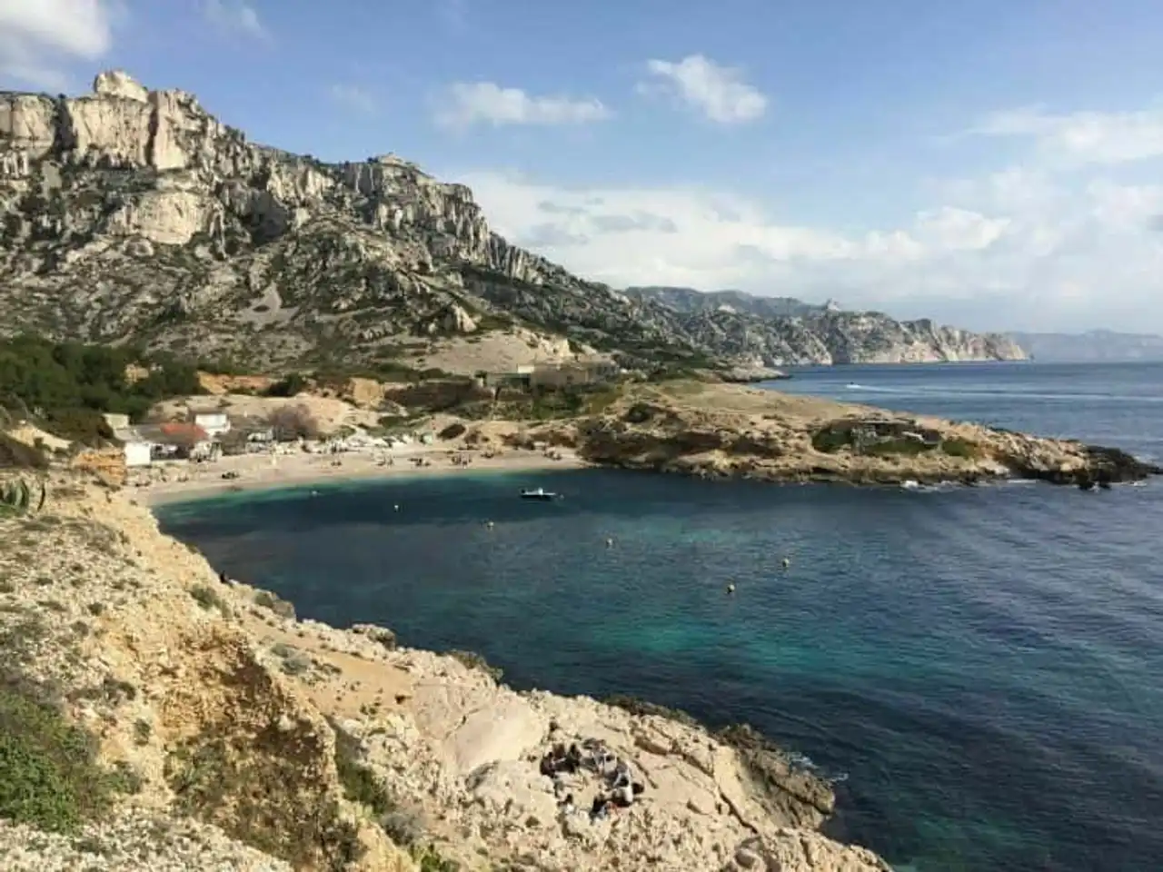
Photo credit: Alltrails
- Duration : about 2h45
- Distance 7.9 km
- Denivelé : 367 m
- Difficulty Average
- See the hiking trail
Marseilleveyre means "see Marseille" in Provence. This hike starts at the Callelongue calanque: a small fishing port allows you to park there. You will climb to the Calanques National Park by the passes of the Semaphore, Galinette and Selle. Cigales and sunshine are most often at the rendezvous.
The trail then descends brutally by the valley of Malvalon to the splendid calanque of Marseilleveyre. Its beautiful sandy and pebble beach offers a splendid view of the Riou archipelago.
The return is done along the water following the Douaniers Trail. You will overlook the Mounine calanque, another wonder of the corner.
4. The cave of Saint-Michel-d’Eau Douce
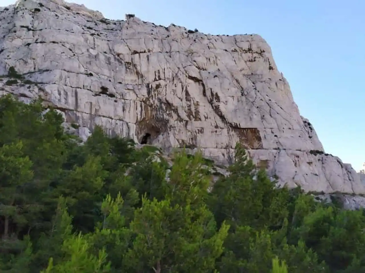
Photo credit: Alltrails
- Duration approximately 45 minutes
- Distance 2.6 km
- Denivelé 210 m
- Difficulty Easy
- See the hiking trail
This hike around Marseille is close to the previous one. It allows to reach exceptional caves where neolithic tools were found. There were troglodytes who were beating the place...
After a climb to the Saint-Michel rock bar, you will follow green marking . The Rocher des Goudes is nearby. What a breathtaking view of the islands of Frioul and the small port of Goudes!
A first cave (Ermite’s) is easily reached with a fixed rope. A second is on your right (Saint-Michel d’Eau Douce) and a third (the Bear). Incredible mineral sculptures await you.
5. Pointe du Belvédère
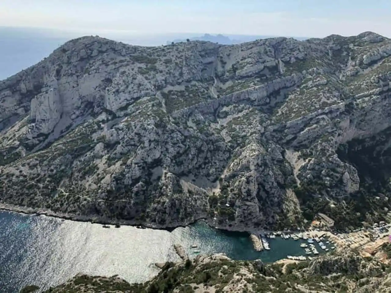
Photo credit: Alltrails
- Duration : about 1h30
- Distance 4.8 km
- Denivelé 105 m
- Difficulty Easy
- See the hiking trail
Starting from Luminy, this hike can easily take place with children .
The route is most enjoyable and allows you to quickly access the Sugiton window. Perched at 250 meters, it has a orientation table .
The Sugiton calanque and the Puget massif can be contemplated. You see this little point on the horizon, on your left? It is the island of Embiez. Cape Morgiou completes this panorama among the most beautiful in the Mediterranean Sea. For us, it is clear: to do and do again!
6. The Tour du Pomèguet
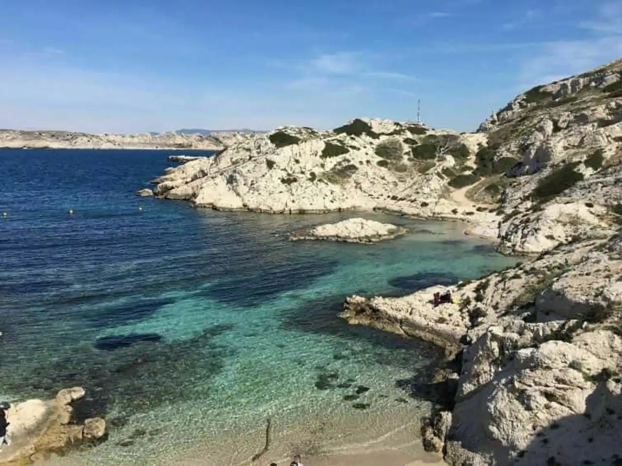
Photo credit: Alltrails
- Duration approximately 45 minutes
- Distance 2.6 km
- Denivelé 47 m
- Difficulty Easy
- See the hiking trail
This original route starts at the heart of the phocean city: its Old Port! To make this hike around Marseille, start by taking the express shuttle for the islands of Frioul. Stop at the island of Pomègues and then cross the Digue Berry to make the tour of the island.
You will pass through the uncontournable Tour du Pomèguet, the face caressed by the kisses. It was built in 1860 under the aegis of Napoleon to defend the islands of Friuli against the attacks of the English.
The visit continues with the sandy layer of Grande Brise. A superb view of Marseille can be admired and you can swim there. A great family moment.
7. De la Barasse au col Galvaudan
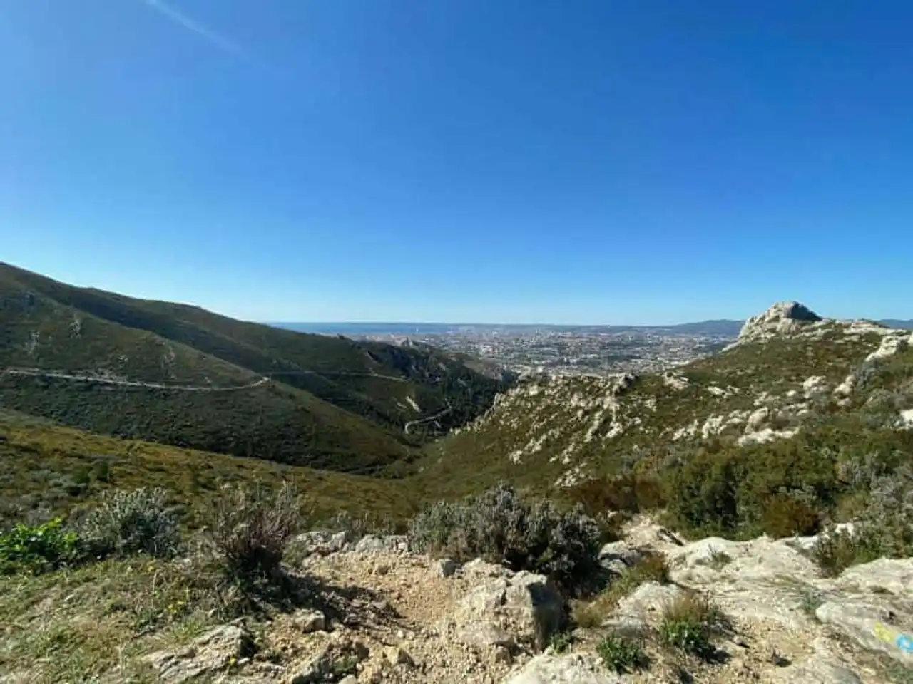
Photo credit: Alltrails
- Duration : about 2h30
- Distance 6.9 km
- Denivelé 350 m
- Difficulty : Difficult
- See the hiking trail
This route allows you to discover the valley of Huveaune at the edge of the Marseilles hinterland. Spring or fall allow you to enjoy it at best because the local flora has its most beautiful surroundings.
Garage at the parking lot of the Barasse then follow the marked path of blue to a wide track on the hillside. Escorted by lush green oaks, heathers and garbage trees, you will reach the cross of Saint Markel. The valley of Hauveaune is fully deployed in front of you.
Then turn the rock bar to the right: it's there, you're at the Gavaudan pass! A sumptuous panorama of the city and the coast offers you. The return of this hike around Marseille is made by the vallon de la Vigie and a pleasant undergrowth.
8. Col et calanque de Sormiou
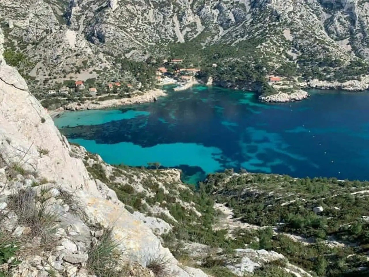
Photo credit: Alltrails
- Duration : about 1h30
- Distance 3.5 km
- Denivelé 217 m
- Difficulty Average
- See the hiking trail
Welcome to the Sormiou pass, which culminates in 180 meters altitude in the massif of Marseilleveyre. He owes his name to the calanque to which he gives access: it is the largest of the calanques in the city.
To access it, follow a rocky path to a sandy beach surrounded by picturesque fishing cabanons. The path is very well marked by yellow markers .
Enjoy it to swim in this well sheltered cove. A restaurant is there... Miam, seafood trays!
For the return, follow the friendly little path to the brown marking that runs along the access road to the calanque. Your starting point, Sormiou's proud pass, is in sight. What a nice afternoon, right?
9. Tour of the Dol valley basin
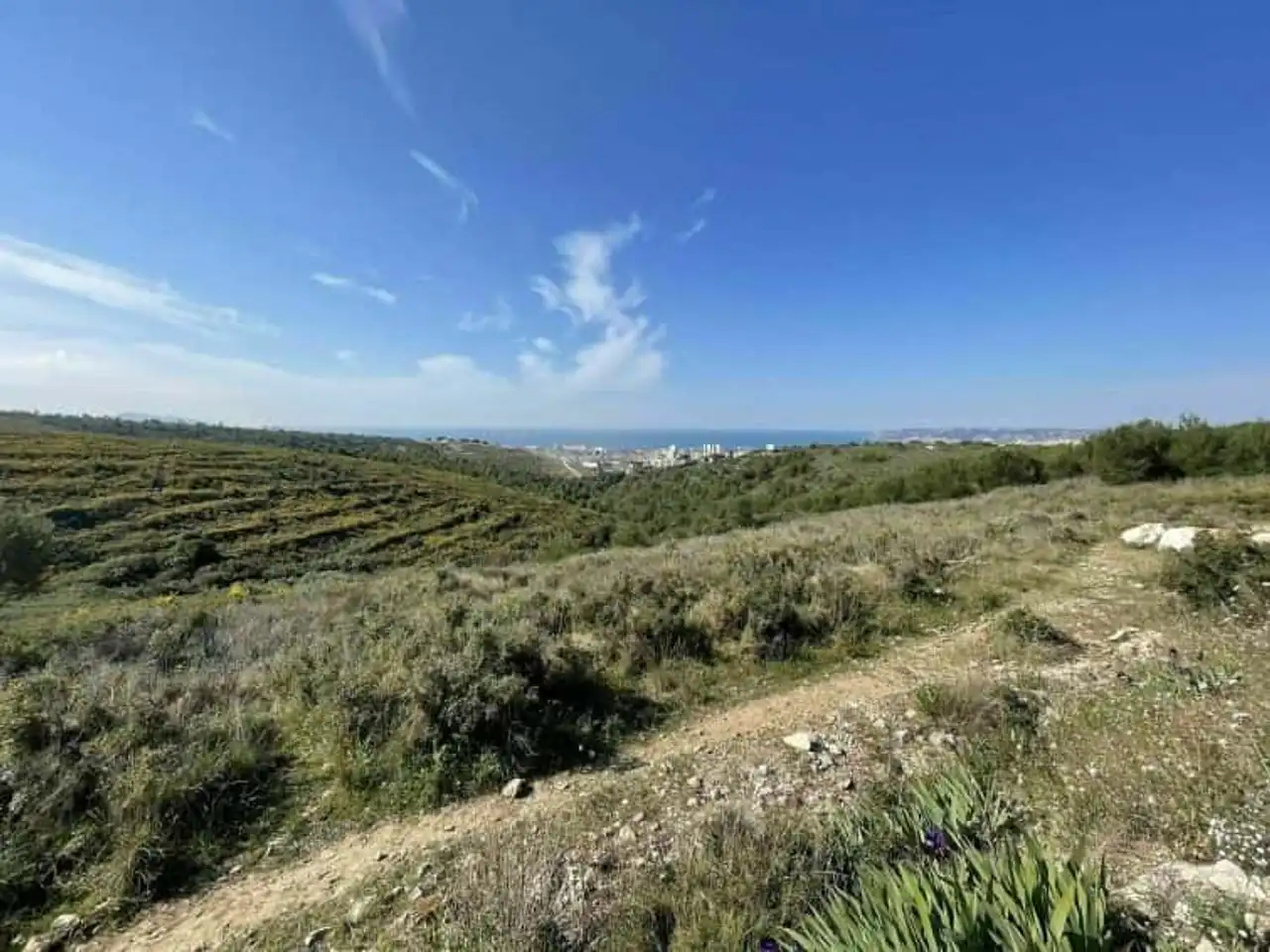
Photo credit: Alltrails
- Duration : about 2h30
- Distance 9.2 km
- Denivelé 228 m
- Difficulty Easy
- See the hiking trail
This hike around Marseille starts on the Mûre road, near Savine. The Dol valley basin is a huge water plan powered by the Verdon waters.
Many zigzaguent tracks in the garrigue and offer stunning views of Marseille and Garlaban. This protected natural space is home to a dense fauna that feels at home. Rabbits and birds accompany you for the greatest happiness of the little ones!
Let’s say that you’ll have to pass some raids, walk in the bass brushes and that the course is not shaded . Planned good shoes , one pants and one adequate head cover to take advantage of this route at best.
10. Beach of En Vau by the Gardiole
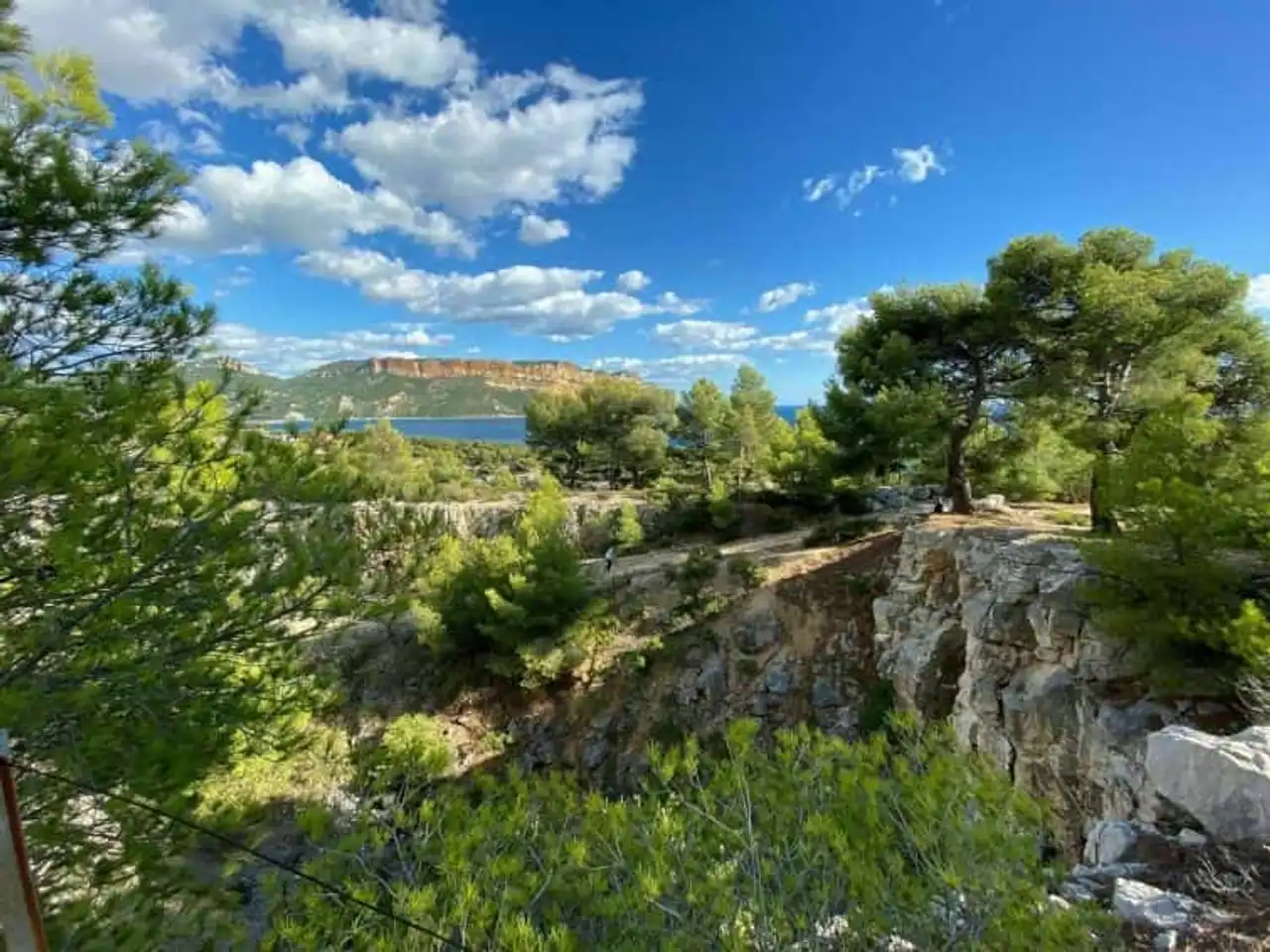
Photo credit: Alltrails
- Duration : about 3h
- Distance 9.5 km
- Denivelé : 327 m
- Difficulty Average
- See the hiking trail
The Marseillais often argue on the subject but for the most part the calanque of En Vau is the most beautiful of the massif. To understand why, go to the Gardiole Pass car park, perched at 260 meters. Follow a track at the brown marking to reach the Pass de l’Oule and the view of En Vau.
You dominate the beach near 170 metres with a beautiful show offered by its crystal clear waters. The return is made by a valley of steep rocks that requires good shoes .
This hike around Marseille is one of the most sporty but guarantees beautiful memories!


Loading comments ...