Among the flagship activities such as sailing or cycling, hiking in La Rochelle is another way to discover the surroundings of the city, the beautiful coastline of the Pertuis d’Antioche and its islands, always at its pace.
Around La Rochelle, the Atlantic coast is superb and has many hiking trails. So many beautiful walks to breathe a fresh and iodized air, coming directly from the ocean.
On generally flat terrains, because the reliefs are not a speciality of the Charente-Maritime, the hikes around La Rochelle range from the easy walk to the beautiful hike during the day, without ever reaching high levels of difficulty: outings that are aimed at all, even the youngest.
Thanks to the ocean climate, you can hike around La Rochelle all year round: the ideal season runs from May to October , when at the turn of a beach, you do not resist the pleasure of getting to water... Out of season, the coast is empty and the trails are quiet, a clothing of rain, a windscreen and good shoes are enough to hike all the time.
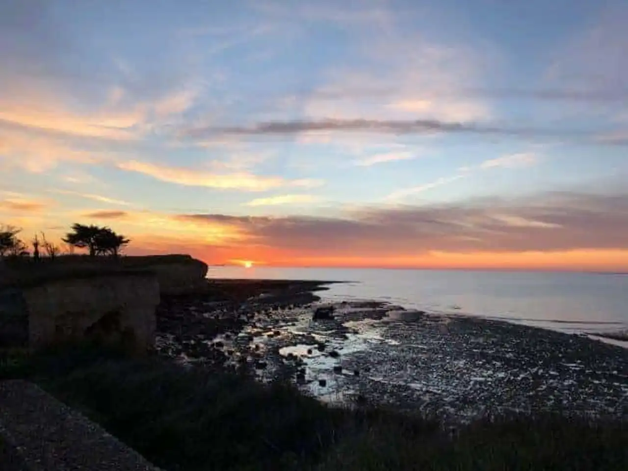
1. Facing the Pertuis of Antioch des Minimes in Aytré
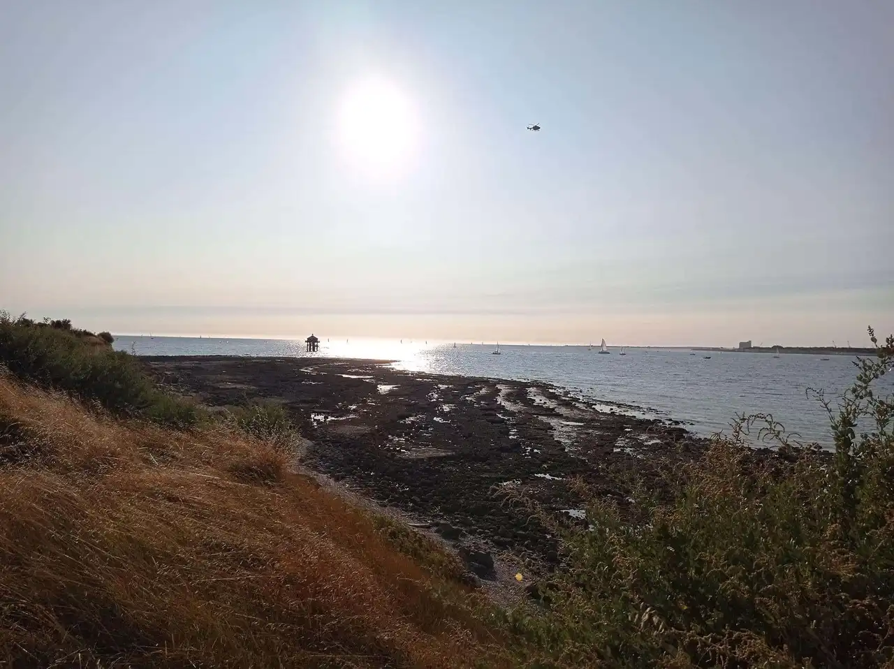
Photo credit: Alltrails
- Duration : about 2h20
- Distance 10.1 km
- Denivelé 88 m
- Difficulty : easy
- See the hiking trail
We start with a great classic among the hikes around La Rochelle, a great loop linking the Minimes to Aytré, via the coast, the marshes and the largest marina in Europe. The route is largely done along the sea, with several beaches where to stop, but also renovated tiles and their large nets.
On the broad, the island Re , island of Oleron , the island of Aix and the Fort Boyard , while the sails of the boaters punctuate the horizon of the Pertuis of Antioch. Great bowl of marine air on the way!
Several choices are available to you for the start, you can even get started directly from downtown. It is easier to adapt the length of this hike to your desires, with the possibility of taking the TER to Aytré to reach La Rochelle.
2. The crossing of the bridge of the island of Re
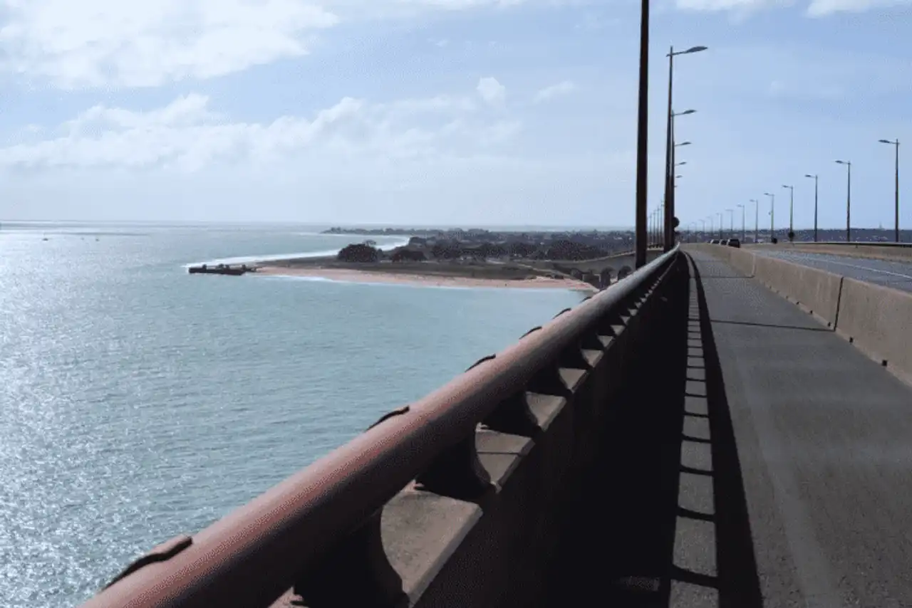
Photo credit: Alltrails
- Duration : about 2 hours
- Distance 9.3 km
- Denivelé 47 m
- Difficulty : easy
- See the hiking trail
The nearby island of Ré offers several opportunities to hike around La Rochelle. To fill the lungs of the good air of the sea, the crossing of the bridge linking the island of Re to the continent is an excellent option, easy to make in return. By car, we have to 15 minutes to reach the Belvedere, starting point of this route, but the journey is also by city bus or by bike.
The itinerary is then no longer easy: you cross the bridge, which offers a beautiful view on the rock coast and on Re, to reach the pretty sandy beach of Sablanceaux. The place is perfect to take a break, take a sea bath at the beach or picnic in the shade of a cypress, the story of prolonging the day before rebooting path, and taking the bridge back in the other direction.
A wonderful walk at sunset.
3. The Rivedoux loop
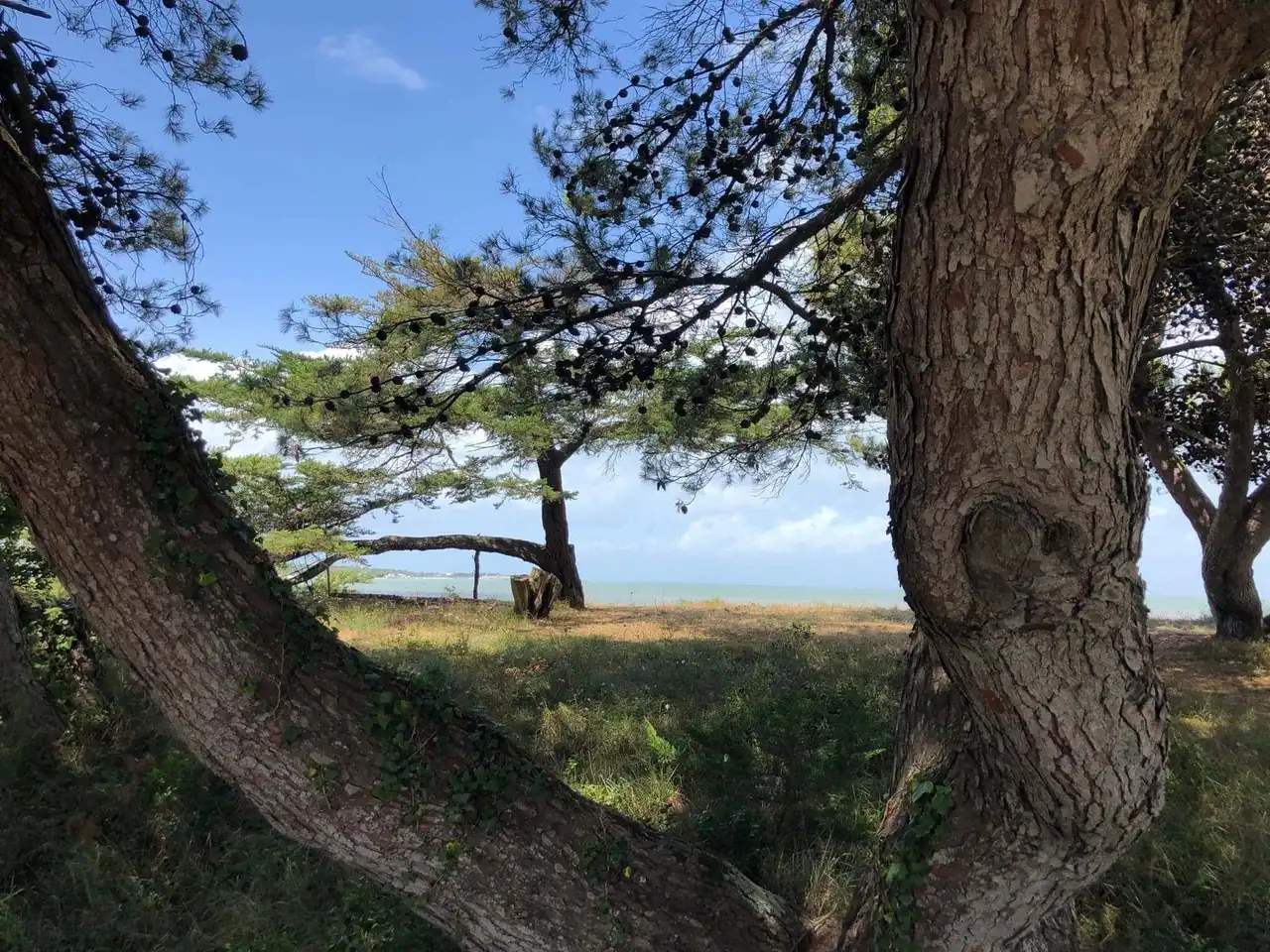
Photo credit: Alltrails
- Duration : about 2h20
- Distance 10.5 km
- Denivelé 78 m
- Difficulty : easy
- See the hiking trail
Let’s take advantage of being on the island of Ré for a moment, with another beautiful hike around La Rochelle. The starting point of this route is in Sablanceaux, where the previous one ends: those who have under the sole will accumulate both.
The trail runs along the large sandy beach, then passes under the cover of well fragrant maritime pines. At low tide, don’t hesitate to walk on the wet sand, leave to remove the shoes and soak the feet a bit.
Don't miss the bifurcation that takes you through wood and fields, with a rando that takes accents of the countryside to reach the village of Rivedoux. Here, the coastal walk on a backdrop of oyster parks brings you back by another way to your starting point.
4. The tower of the Pointe du Chay
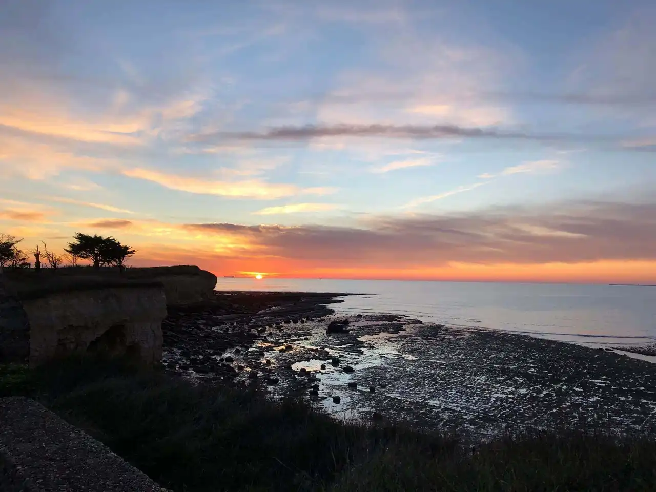
Photo credit: Alltrails
- Duration : about 1h20
- Distance 5.8 km
- Denivelé 41 m
- Difficulty : easy
- See the hiking trail
Several options are available to you to reach the starting point of this hike around La Rochelle. We have to. 20 minutes by car to get to Angoulin, and not much more if you go by bike by the coast, before exploring the Chay Point on foot. In TER, it is even more practical: 8 minutes to connect La Rochelle and Angoulin train station.
This small, easy level hike leads you through the very typical landscapes of the region: marshes, oyster farms, clears, these ponds where oysters are raised, before returning to the seaside with its beaches (Aytré beach and Angoulin beach) and its limestone cliffs.
They also make up the tip of Chay, offering pleasant views on the wide.
5. Châtelaillon and Boucholeurs by the coastal ride
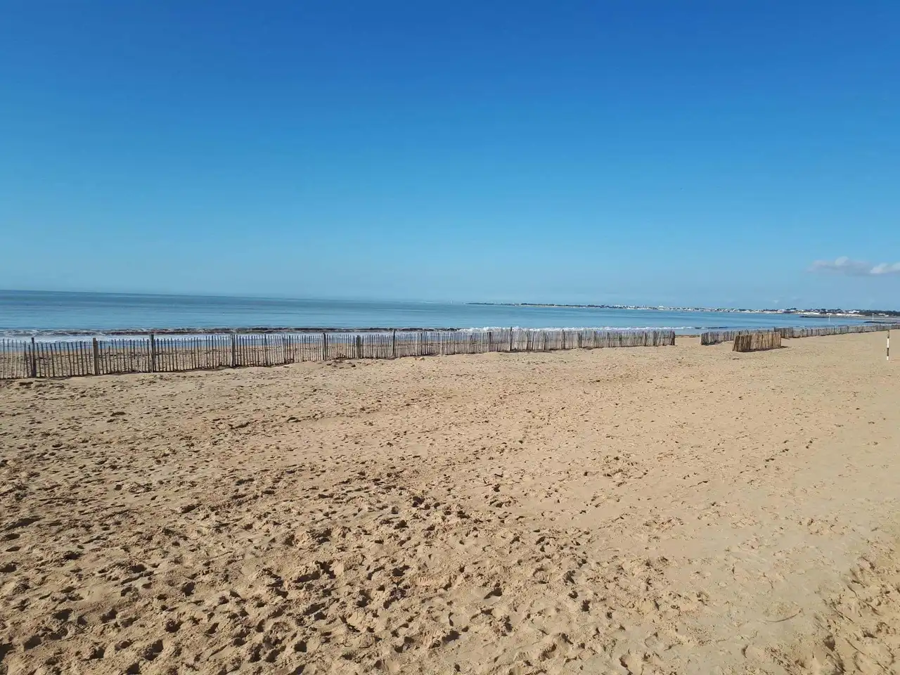
Photo credit: Alltrails
- Duration : about 1h50
- Distance 8.2 km
- Denivelé : 64 m
- Difficulty : easy
- See the hiking trail
This hike around La Rochelle is once again essentially by the sea: it is good for the ocean that we stay here! For this looped route, we depart from the great beach of Châtelaillon, seaside resort 25 minutes from La Rochelle , TER or car.
To cope with the risks of submersion on storm days, the entire coast has been redesigned on a long walk protected by a dam. Once you pass the small port of Châtelaillon, you arrive on the side of the Whistlers. This small village in the centre hut with its coffee terraces precedes more chaotic ostreiculture areas, but not devoid of charm for who knows how to appreciate them.
It is not uncommon to see on the way the oysters in full work. The route ends with the ornithological reserve of the Yves marsh in sight, before returning to its steps.
6. From Rivedoux to Saint-Martin-de-Ré
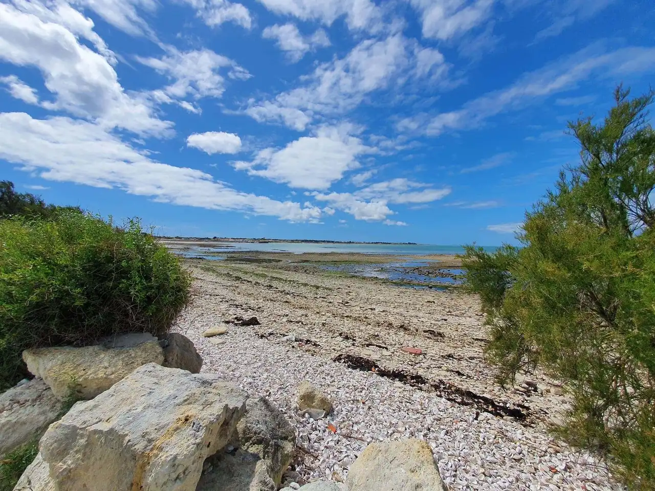
Photo credit: Alltrails
- Duration : about 2h45
- Distance 11.9 km
- Denivelé 90 m
- Difficulty : easy
- See the hiking trail
Another nice hike around La Rochelle taking place on the island of Ré. To 20 minutes drive only, with bus connections directly from La Rochelle, it would be a shame to deprive yourself of it!
We start this route in the village of Rivedoux, the first of the island. The walking route runs along the large bay of oyster parks before passing through fields, to catch up with the coastal path, Breton pertuis side. In clear weather, the bay of the Aiguillon and the coasts of the Vendée are well distinguished.
The route, linear, follows the coastline by surpassing the abbey of the Châteliers in ruins, before reaching the charming port of La Flotte and its typically reborn atmosphere. The ride can stop there, on the way back, or continue on the coast to Saint-Martin, the “capital” of the island of Ré, with its port and alleys. Frequent buses allow you to find the starting point.
7. Through the channel of Rompsay
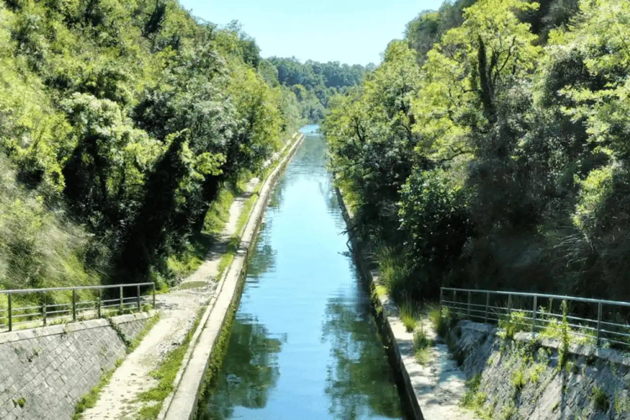
Photo credit: Alltrails
- Duration : about 2 hours
- Distance 9 km
- Denivelé 44 m
- Difficulty : easy
- See the hiking trail
The Rompsay Canal is similar to a true green casting from La Rochelle to Marans, 24 km away. Sufficiently so, to adapt its hiking trail around La Rochelle according to its desires of the day, from the little health walk to the longer exit.
Through the Rompsay channel, you will not encounter any difficulty: everything is flat and peaceful, wooded and shaded, conducive to the observation of the environment around you... Be careful to look at where you set your feet to cross the Saint-Léonard tunnel, quite impressive!
The return route is done by an identical route, but by the other side of the canal, the story of varying.


Loading comments ...