You are a mountain lover and want to go to the exploration of nature lady around Chambéry? Discover the unmissable summits and massive secrets of the region.
Scope Massif des Bauges passing through the Chartreuse and the Epine, if you have a certainty on the great Chambéry it is that you will find family trails and walks for all tastes and levels. With more than 500 kilometers of marked hikes, the diversity of landscapes and the variety of terrains will give you access to routes of different formats with as contrasting as striking panoramas.
So let’s go for the best hikes in Chambéry, with good walking shoes and a swimsuit to enjoy lakes and waterfalls in the region after the wonder of its high mountain landscapes.
1. Mont Granier
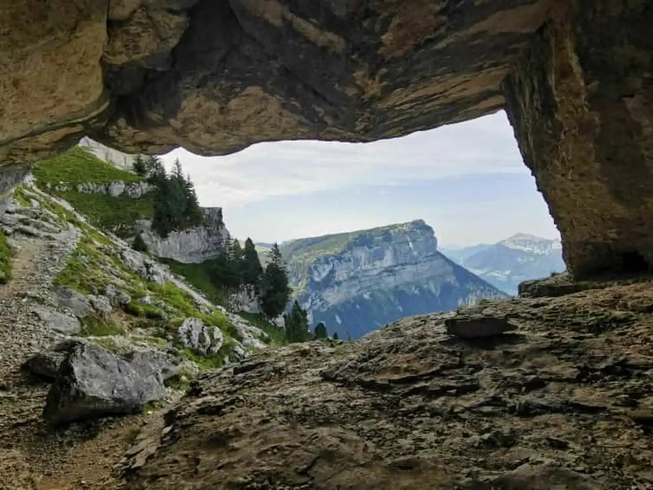
Photo credit: Alltrails
- Duration : about 4h
- Distance 11.4 km
- Denivelé 1 049 m
- Difficulty : Difficult
- See the hiking trail
Mont Granier is in Chambéry what the Parmelan is in Annecy : the emblematic landscape of the city. This famous vertiginous cliff overlooks the cluse of the city offering a breathtaking view of Lake Bourget, but also on the Bauges and the Belledonne chain.
This hike around Chambéry presents varied landscapes as well as exceptional views throughout the trail. After 1 hour walking only you will reach the pass of the Alpette and once the latter cross, you can then see the sublime Mont-Blanc .
By continuing your way to the foot of the chimney, cables and bars will facilitate your progression to access the famous Granier Mountain. A magnificent 360-degree view of all the alpine mountains will await you at the finish.
The hike is quite physical and some passages like the portion of the rock bar just before the cable passage can be impressive for people subject to vertigo. However the game is really worth the candle with an arrival at the top simply masterful.
2. The Cascade du Pissieu
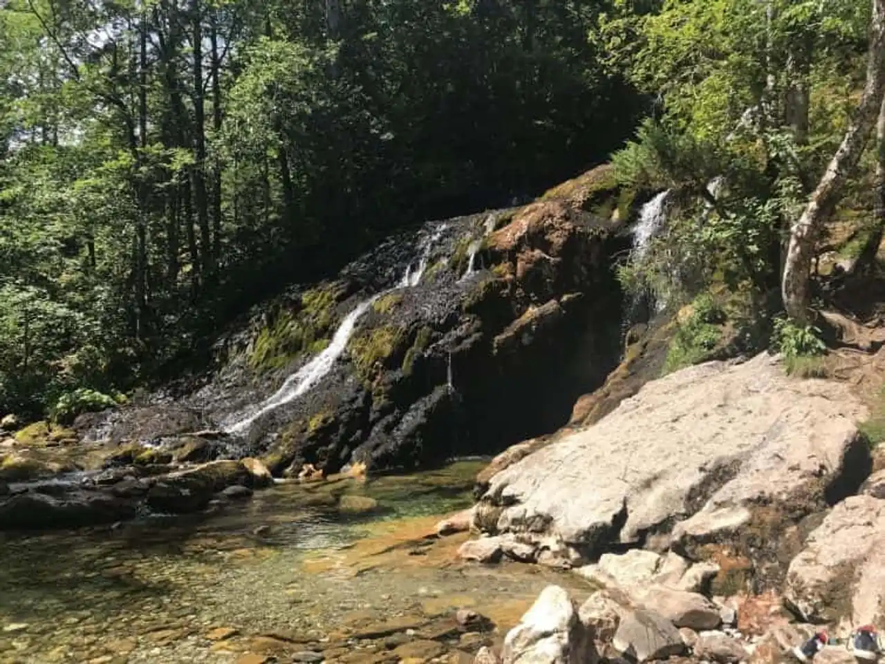
Photo credit: Alltrails
- Duration : about 1h
- Distance 3.5 km
- Denivelé : 117 m
- Difficulty Easy
- See the hiking trail
Change of scenery, let's start refreshing at the edge of the Pissieu waterfall. This family walk will give you access to sublime landscapes emblematic of the Bauges. Along the Nant d’Aillon stream, you will progress on a path along the edge of the forest.
Easy, quiet and shady, it is a very good idea to hike around Chambéry to cool off in the summer and finish the day with a swim in an enchanting setting.
3. The cross of the Nivolet by the Sire
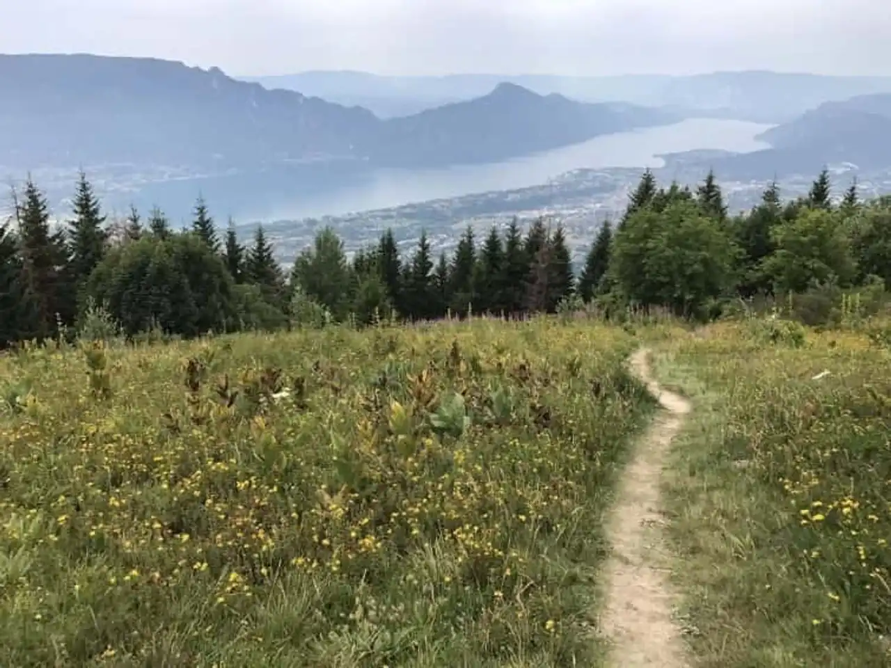
Photo credit: Alltrails
- Duration : about 2 hours
- Distance 6 km
- Denivelé 236 m
- Difficulty Average
- See the hiking trail
The Cross of Nivolet by Sire is a great classic of the Chambériens. Easy and accessible, this is the place or the time of a day or half-day when the beautiful days arrive.
At the heart of the Bauges mountain range, the course starts at the Féclaz ski resort. He then crosses the forest of Charvettant before leading you to the immense cross of the Nivolet. Enjoy the moment with a pleasant picnic in the head with a magnificent view of Chambéry, Aix-les-Bains, Lake Bourget and its surrounding mountains.
This hike around Chambéry is as pleasant during the spring-summer season as in winter, where its beautiful snow coat gives rise to sublime snowshoe rides.
4. The cross of the Nivolet and the Cascade of the Doria
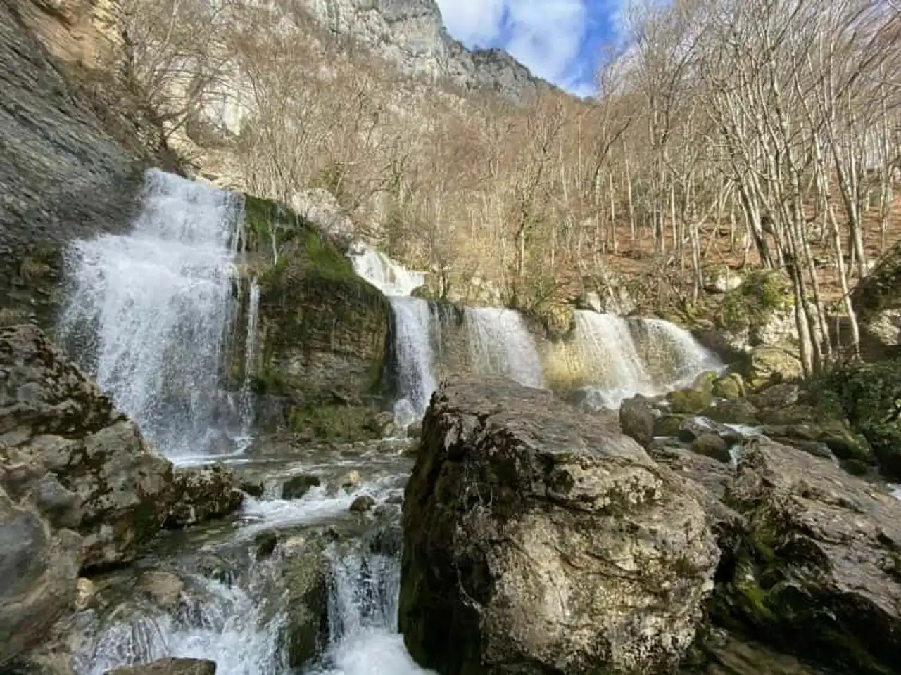
Photo credit: Alltrails
- Duration : about 3h
- Distance 7.2 km
- Denivelé 620 m
- Difficulty : Difficult
- See the hiking trail
If La Croix du Nivolet tempts you, another path will allow you to make a loop with the Doria waterfall. It is the ideal hiking trail to combine grandiose views, freshness and swimming. It also represents a good alternative to flee the crowd of the beaches of Lake Bourget in the summer.
The landscape is simply sublime on the path: flowery meadows, forest and exceptional panorama at the highest point. Attention, however, to access the waterfall you will need to take a small via ferrata passage for which it is recommended to have the equipment. But the hike is truly beautiful and is widely worth a visit.
Good to know: to access directly the Doria waterfall without passing through the hiking box, you can also park at the parking lot of Lovettaz. On site you will find the indication of the trail and you will be able to access the swimming after half an hour walk.
5. Les Cascades du Cirque de Saint Same
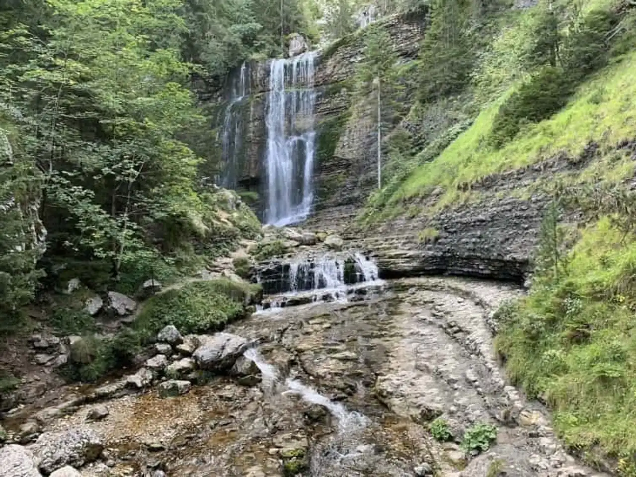
Photo credit: Alltrails
- Duration : about 1h
- Distance 2.7 km
- Denivelé : 226 m
- Difficulty Average
- See the hiking trail
You dream of enchanting landscapes and high waterfalls in a forest with trees worthy of a filming of the forbidden forest Harry Potter ? You must absolutely discover the cascade loop of Cirque de Saint-Même.
This superb hike will lead you to the sources of the Guiers-Vif. Following the torrent, you will cross hamlets, forests and clearings of Cirque de Saint-Même. The trail is ideal for small and large looking for freshness or adventurers looking to discover the most beautiful iced cascades in a magical landscape.
Victim of its beauty, this place remains very frequent in the middle of the season. Then take the morning hours to avoid the crowd and enjoy Cirque de Saint Even in full privacy. Similarly, the sides of the waterfall can be muddy and slippery, then think to bring you good shoes to enjoy comfortably the moment. And of course, get ready for a good shower when you get to your destination!
6. La Dent du Chat via the Col du Chat
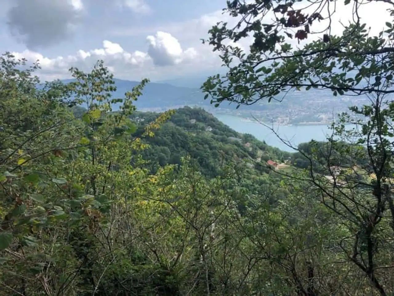
Photo credit: Alltrails
- Duration : about 4h
- Distance 10.8 km
- Denivelé 678 m
- Difficulty : Difficult
- See the hiking trail
Recognisable by its pointed canine shape, the cat’s tooth is located north of the Epine chain. Overlooking the Lake Bourget, it offers a magnificent panorama over the various massifs of Savoie and Belledonne.
Unlike its technical hiking reputation, the vast majority of the trail does not have any particular difficulties and remains widely accessible. Only the presence of ladders and cables on the last portion of the trail can be more impressive, especially for people subject to vertigo.
But the point of view at the arrival is all the sacrifices so the show is sublime! From the plateau you will see Mount Granier, the mountains of Belledonne, the Nivolet, the Revard without counting the famous and fascinating Mont Blanc.
7. The Cross of Bergers
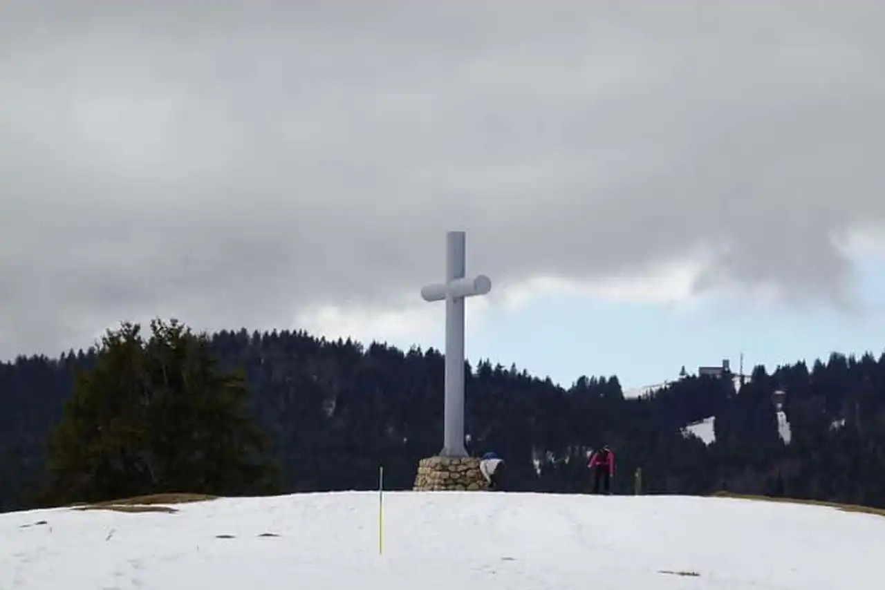
Photo credit: Flickr – Renaud Camus – Creative Commons
- Duration : about 2h30
- Distance 6.8 km
- Denivelé 162 m
- Difficulty Average
- See the hiking trail
Want a nice view without providing too much effort? Take the way to La Croix des Bergers. This short walk of about 2h30 will lead you to a superb panorama at the top by altering passages in the forest with pastures.
This hike around Chambéry is fully accessible to children and has no technical skills. It can be made in summer and winter in snowshoes and offers superb views of the surrounding mountain ranges. This is really a classic to be achieved in all seasons.
8. Le Mont Colombier par le Col de la Clochette
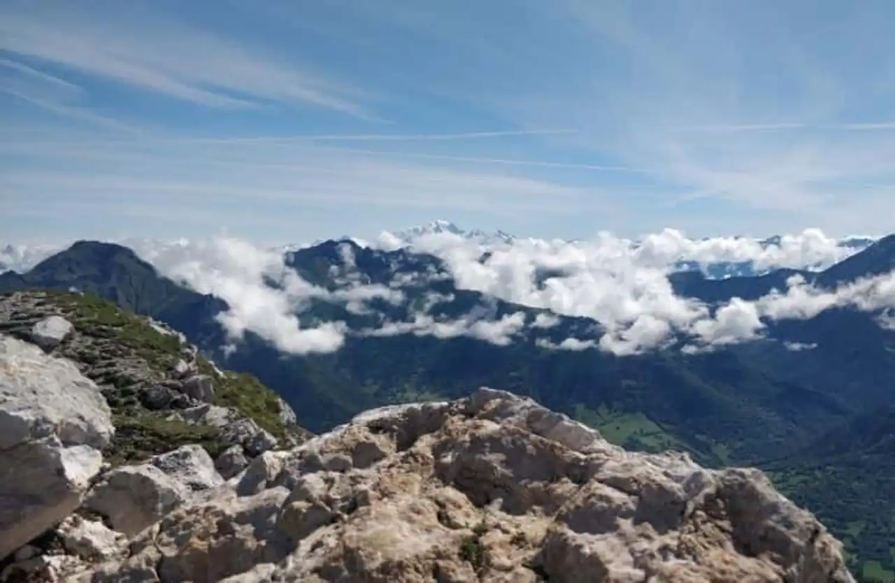
Photo credit: Alltrails
- Duration : about 2h30
- Distance 8.4 km
- Denivelé 827 m
- Difficulty Average
- See the hiking trail
If the name of Mount Colombiar doesn’t tell you anything, you probably noticed it if you’re on your way to Chambéry. It represents the central summit of the Bauges Mountains, offering an overview of the savoyard, high Savoyards and Isérois summits. The hike we offer crosses between forests and cliffs with a summit finish promising to be unforgettable!
From the Col de la Clochette, you will however be entitled to a magnificent view of Aix-les-Bains located below the mountain. The climbs and descents of the hike can sometimes be a little steep, but bring even more motivation to appreciate the view once you arrive at the top.
Apart from some passages, this hike around Chambéry remains accessible and the best time to get there is from May to November.
9. The Grand Moulins
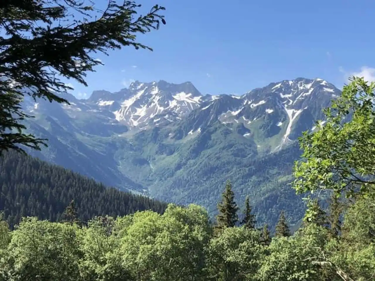
Photo credit: Alltrails
- Duration : about 2 hours
- Distance 6.9 km
- Denivelé : 469 m
- Difficulty Average
- See the hiking trail
The steep reliefs of the Grands Moulins represent a magnificent backdrop to the city of Chambéry. But this beauty is not only sublime by far, ascension offers a concentration of impressive and varied landscapes. It represents a superb sporting discovery as well as a pleasant place of life for the ubiquitous. Not to mention the simply beautiful top view.
With a 360° panorama, the Grands Moulins Plateau offers a fabulous view of the mountains of Belledonne, the chartreuse, the Vercors, and of course: Mont Blanc.
However, think about providing enough water for ascension. Although the Perrière refuge generally provides, during periods of severe drought, it can then be dry.
10. The Black Lake
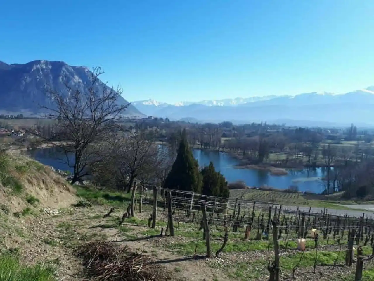
Photo credit: Alltrails
- Duration : about 4h30
- Distance 16.7 km
- Denivelé 585 m
- Difficulty Average
- See the hiking trail
A true source of inspiration for local painters and poets, the black lake holds its reputation for the Granier massif reflected in its limpid source. The trail will make you cross different hamlets typical of the region such as Atrus, Bellecombette, Palud or Darbe.
It is a pleasant hike around Chambéry, without difficulty allowing to apprehend another aspect of the region with in particular a nice portion in the vineyards. This trail is a call to escape, to delectation, a good time to enjoy beautiful landscapes without suffering from denial.




Loading comments ...