
Welcome to Euskal Herria! In this article, you can explore the most beautiful hikes in the French Basque Country.
The majority of visitors discover the Northern Basque Country through Biarritz , Bayonne or Saint-Jean-de-Luz. Yet, the inner Basque Country like the Pyrenees contain landscapes of wild beauty to breathe! Green alps, scattered with herds of sheep, pottoks and vultures, with vertiginous summits that delineate the Spanish border... There is no shortage of opportunities to make hiking lovers dream.
But what are the best paths to discover the region? In this article, you will find the 11 most beautiful hikes in the French Basque Country.
1. The Mondarrain peak
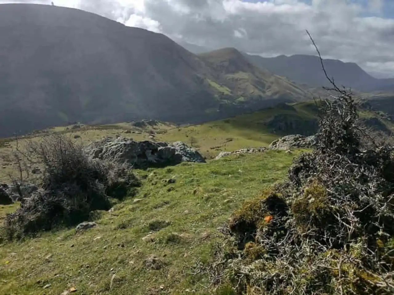
Photo credit: Alltrails
- Duration : about 3h20
- Distance 10 km
- Denivelé 230 m
- Difficulty : Difficult
- See the hiking trail
This hike in the French Basque Country is a must. Accessible to the whole family, it takes you up to admire a 360-degree panorama on the mountains and the coast.
The trail is only 10 kilometers and yet, it will make you discover all the salt of the landscapes of the region... and you may have the chance to cross some pottoks, the famous basque wild ponies!
If you decide to start this hike with children, make sure you follow the route. Otherwise, you may find yourself in front of quite technical passages, with climbing to the key.
2. The canyons of Holzarte and Olhadubi

Photo credit: Alltrails
- Duration : about 4h30
- Distance 13.4 km
- Denivelé 666 m
- Difficulty : Difficult
- See the hiking trail
Are you looking for a technical challenge? Then go to the discovery of the gorges of Holzarte and Olhadubi! From the beginning, the climb is steep. You reach the beautiful footbridge of Holzarte, which is the culminating point of this hike in the French Basque Country. You can turn around here, or continue your way. However, the end of the trail is long and difficult.
You will understand, the difficulty is at the rendezvous. But you will cross rich and varied landscapes, which alternate between forests, streams and waterfalls. A real time of escape!
3. The table of the Three Kings
Photo credit: Alltrails
- Duration : about 3h45
- Distance 11.1 km
- Denivelé 1 260 m
- Difficulty : Difficult
- See the hiking trail
Visit Lescun to go in search of the Three Kings table, located more than 2,000 meters above sea level. This hike in the French Basque Country will take you through wild and rocky landscapes, whose charm evokes the origins of the region. Very quickly, you will have the chance to see an incredible panorama of the surrounding area.
It is a difficult course, but its end-of-the-world air makes it conducive to the collection. A nugget!
4. The Montagnon d’Iseye, the Mardas peak and the Lasnères peak
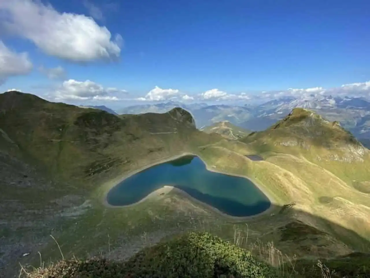
Photo credit: Alltrails
- Duration : about 4h10
- Distance 12.4 km
- Denivelé 1 248 m
- Difficulty : Difficult
- See the hiking trail
Looking for a nice hike in the Pyrenees? Then follow this mountain path from the Auroutort pass. It leads you to the Montagnon d’Iseye, which contains a beautiful lake shaped like a heart. You will also cross the Mardas peak and the Lasnères peak, which offer great views of the surroundings.
Some difficulties are to be expected on the course. Provide good hiking shoes and what to desalert you.
5. Arratzolatze – peak of Orhy
Photo credit: Alltrails
- Duration : about 5:15
- Distance 15.6 km
- Denivelé 995 m
- Difficulty : Difficult
- See the hiking trail
Rocky summits, clutched views and wild ponies are on the agenda of this superb hike in the French Basque Country. It leads you to the peak of Orhy, the giant of the Basque Pyrenees, which peaks at 2,07 meters above sea level. It offers a breathtaking view of the surrounding mountains, just steps from the Spanish border.
The route includes difficult passages, which is why it is to be reserved for experienced hikers.
6. Hautza via Urrizpilota and Usatxarreta
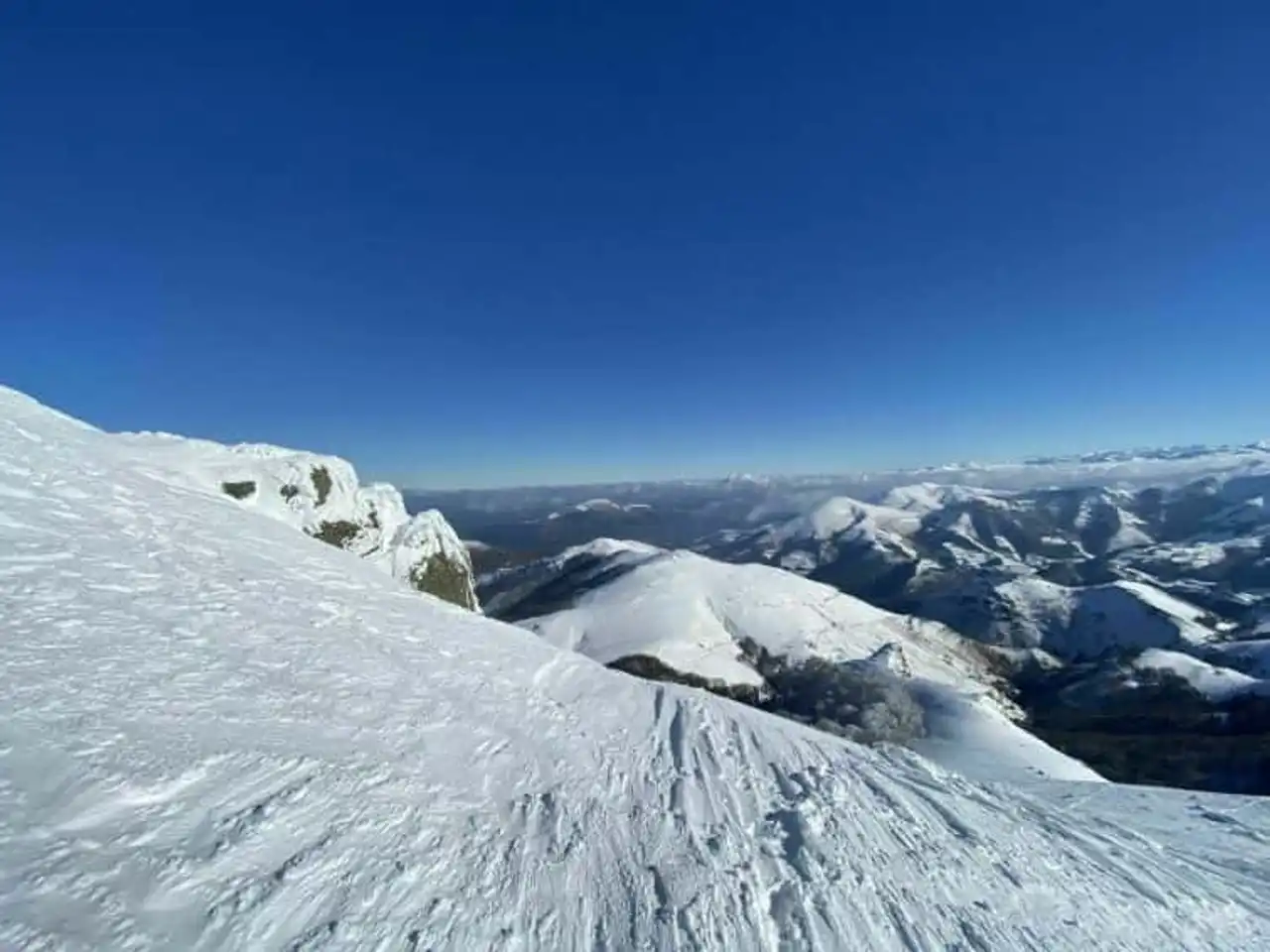
Photo credit: Alltrails
- Duration : about 5h30
- Distance 16.4 km
- Denivelé 1 393 m
- Difficulty : Difficult
- See the hiking trail
This beautiful looped path leads you to the heights of the Pyrenees-Atlantiques. Indeed, it will lead you to the summits of the Trempetta (812 m), the Urrizpilota (935 m), the Elhorriko Kaskoa (983 m), the Harrigorri (1 117 m), the Autza (1 306 m), the Olhate (925 m), the ridge of Olhateko Kaskoa (858 m) and the pass of Ispeguy The views of the valleys of Baïgorri and Baztan are simply magnificent.
A hike in the French Basque Country that reveals its charms in both summer and winter... But that’s right for the seasoned walkers, who are not afraid of the void and the sporting challenges!
7. Bidarray – Iparla peak
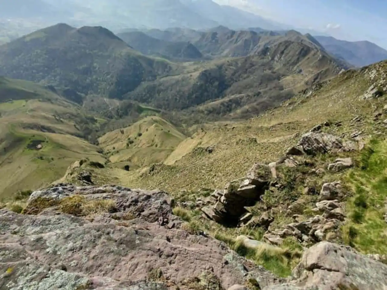
Photo credit: Alltrails
- Duration : about 4h30
- Distance 13.2 km
- Denivelé 964 m
- Difficulty : Difficult
- See the hiking trail
Starting from Bidarray, cross typical alpine plateaus of the Northern Basque Country and go to the heights of the Iparla peak. You then have the possibility to prolong on the ridges... Very beautiful landscapes stand out, inhabited by vultures with some points of view on the Atlantic.
On the other hand, the climb is quite steep. You should attack it in the morning to enjoy the trail in the shade. The descent is also sporty, with some technical passages. In other words, it is better to be in good physical condition to get started in this hike!
8. Buztanselai - Ubedo
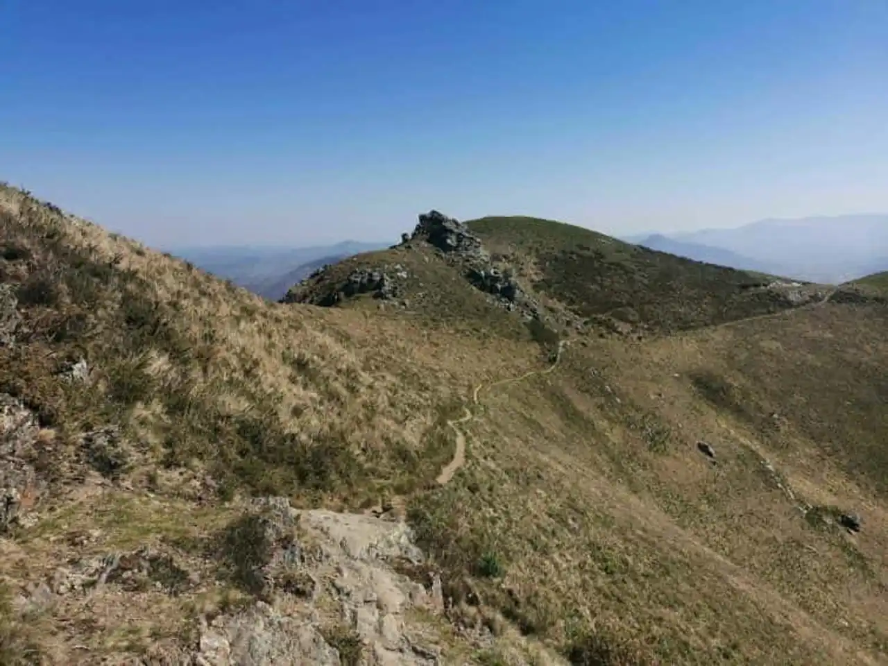
Photo credit: Alltrails
- Duration : about 3h10
- Distance 12.6 km
- Denivelé 955 m
- Difficulty Average
- See the hiking trail
Visit Saint-Étienne-de-Baïgorry to start this hike in the French Basque Country. The first part of the course makes you climb to the pass of Apaloy then the pass of Buztanzelai via a nice wooded path. Then the slope becomes very steep. This is why this path is best suited to experienced hikers!
But the game is worth it. From here you can admire on one side Euskal Herria, bordered by the Atlantic, and on the other the Spanish Pyrenees. Throughout the descent, you will have the opportunity to observe this beautiful landscape. A real pepit, but we still don't advise you to start in this hike if you suffer from vertigo.
9. The pass of Arras via the path of the Mâture
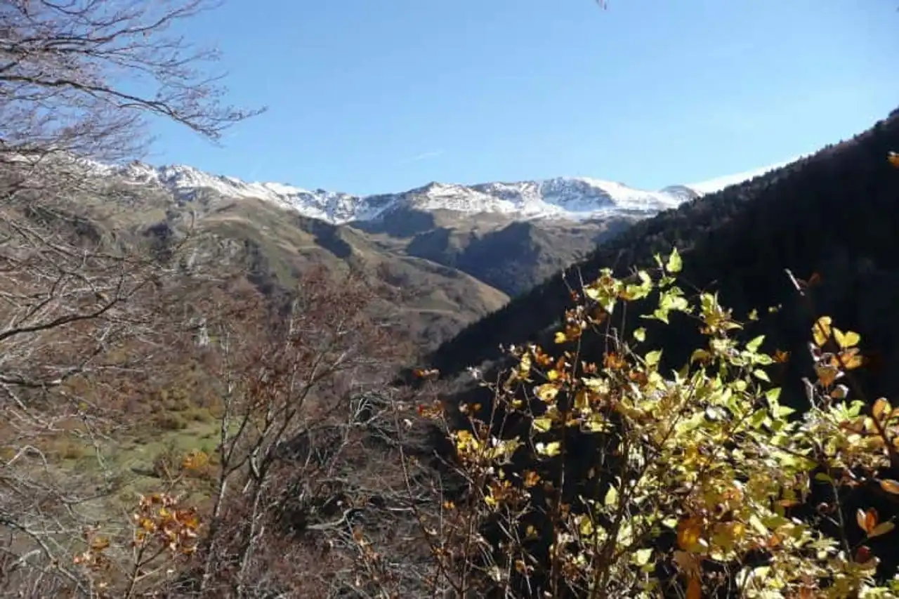
Photo credit: Alltrails
- Duration : about 2h30
- Distance 9.8 km
- Denivelé 706 m
- Difficulty Average
- See the hiking trail
Are you looking for a hike in the French Basque Country that comes out of the ordinary? The Mâture Road is a very famous trail in the Pyrenees. Driven by the rock in the 18th century to ensure the debugging of the wood from the Pacq forest, it rises the gorges of hell.
It includes many technical passages, including the last section. This is why it is not recommended to beginner hikers and those who are afraid of the void. In any case, stay careful by borrowing it!
But after the effort, comfort: the end of the hike is without difficulty. This is a lovely shaded walk, which leads you to the pass of Arras.
10. Lake Montagnon
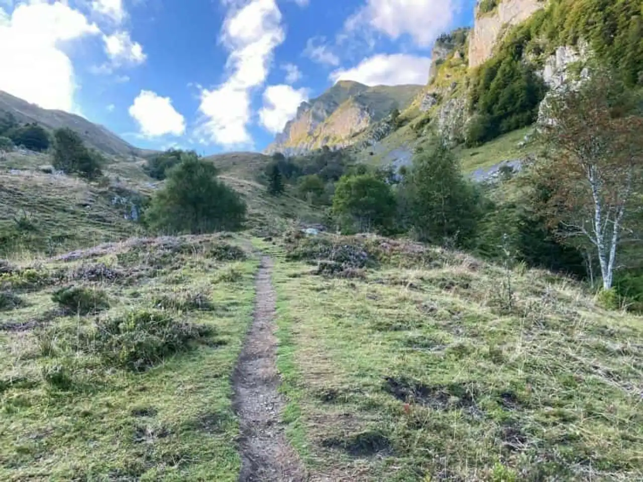
Photo credit: Alltrails
- Duration : about 4h15
- Distance 12.7 km
- Denivelé 1 161 m
- Difficulty : Difficult
- See the hiking trail
This superb hike leads you to the heights, discovering Lake Montagnon. This mountain lake has the peculiarity of being in the shape of a heart... It offers a breathtaking view of the surrounding summits, including the emblematic peak of the noon of Ossau, which peaks at 2,844 metres above sea level.
A real gem of nature, but deserves it! Indeed, the course is intended for seasoned hikers in very good physical condition. Denial is important, and some sections are quite technical, especially on the end of the trail.
11. The peak of Anie from the refuge of Aberouat
Photo credit: Alltrails
- Duration 4h40
- Distance 14 km
- Denivelé 1 165 m
- Difficulty : Difficult
- See the hiking trail
This hike in the French Basque Country will give you access to breathtaking views. However, it includes some very technical passages and its general difficulty is high. It requires a good level of hiking and a certain knowledge of the mountain environment. In addition, his beacon is quite random. Many paths can make you deviate from your itinerary... It'll have to be predictable!
The peak of Anie will be your playground during this rando. Its atypical pyramidal silhouette and its 2,507 meters of altitude make it an emblematic summit of the Pyrenees. By climbing it, you will cross varied and wild landscapes. A real wonder!


Loading comments ...