In South Sudan, Sudd marshes are often inaccessible
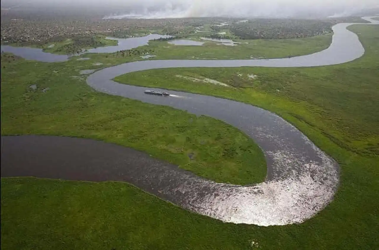
The Sudd is a large swamp area in the centre of South Sudan, formed by the White Nile River. The area covered by the marsh is one of the largest wetlands on the planet in the Nile basin. Its size is very variable about 30,000 square kilometers on average, but during the rainy season and according to the water, the Sudd can extend over more than 130,000 km2 the size of England.
The Sudd is watered by the tributaries of the White Nile i.e. the Al-Jabal River (the "Mountain River) in the center and the Al-Ghazal River ( Bahr el-Ghazal ) west. In the Sudd, the river flows through multiple channels intertwined in a pattern that changes each year. The papyrus, an aquatic herb, and the jacinth of water grow in dense kilns in shallow water, which is populated with crocodiles and hippopotamia. Sometimes, this vegetation "is released from its moorings", creating a plant floating island measuring up to 30 km in length. These islands decompose over time.
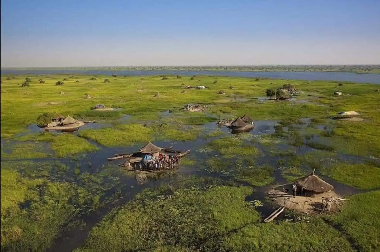
The Sudd is considered to be practically impractical either by road or by boat. In densely populated with roses, grasses, water jacinths and other aquatic plants, the Sudd can form massive blocks of vegetation that can change position and block inland waterways creating a constantly evolving network. Sometimes there is no channel on which a boat can navigate through the marsh. For centuries this region has prevented explorers from traveling along the Nile and is only inhabited by the Nilotic People Nuer .
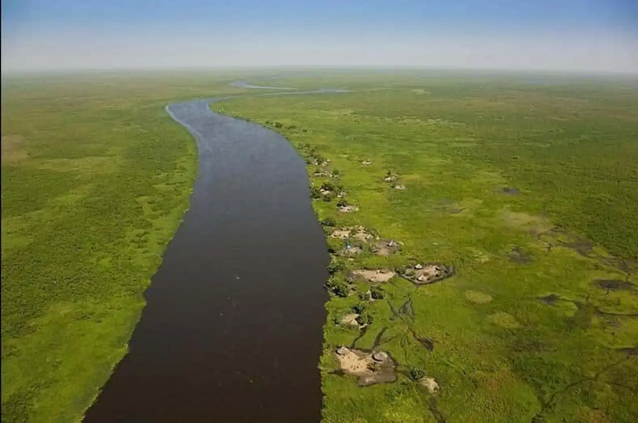
In the late 1970s, the construction of the Jonglei canal begana , whose challenge was to avoid the White Nile from crossing the Sudd marsh, inducing a strong water evaporation. But the project, which would have dried the marshes of Sudd and had a negative impact on agriculture, was halted by the Sudan People’s Liberation Army (SPLA) in 1984. During the work stop, 240 km out of 360 km had already been dug, since then no significant additional work has been undertaken.
One of the reasons for this channel project was to improve water supply in Egypt . Nearly half of the water in the White Nile is lost in swamps that vegetation absorbs or animals drink. The benefits of this project would be shared by Egypt and the Sudan, “giving” their problem in Southern Sudan. The complex environmental and social issues involved, including the failure of fishing, the drought of pasture, the decline in groundwater levels and the reduction of rainfall in the region, can, however, limit the scope of the project in practical terms. The drying of Sudd is also likely to result in massive environmental effects comparable to those of Lake Chad or the Aral Sea.
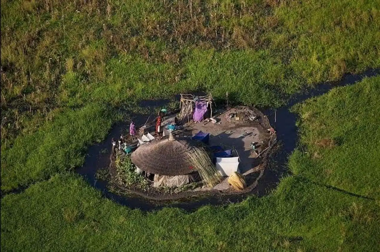
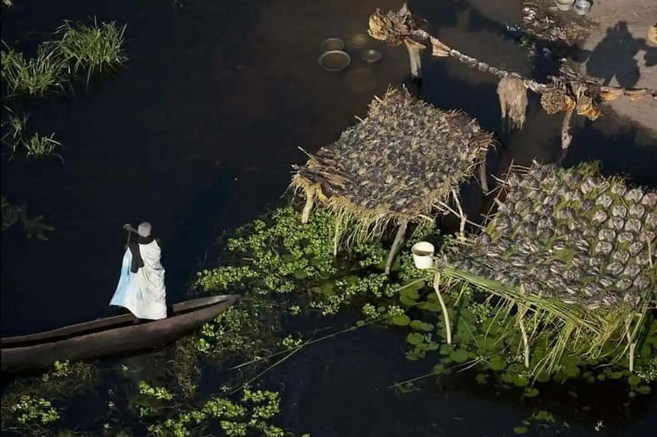
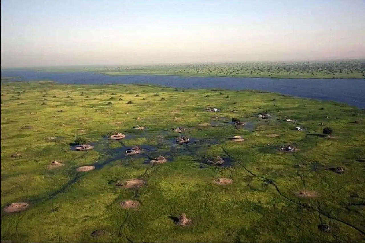
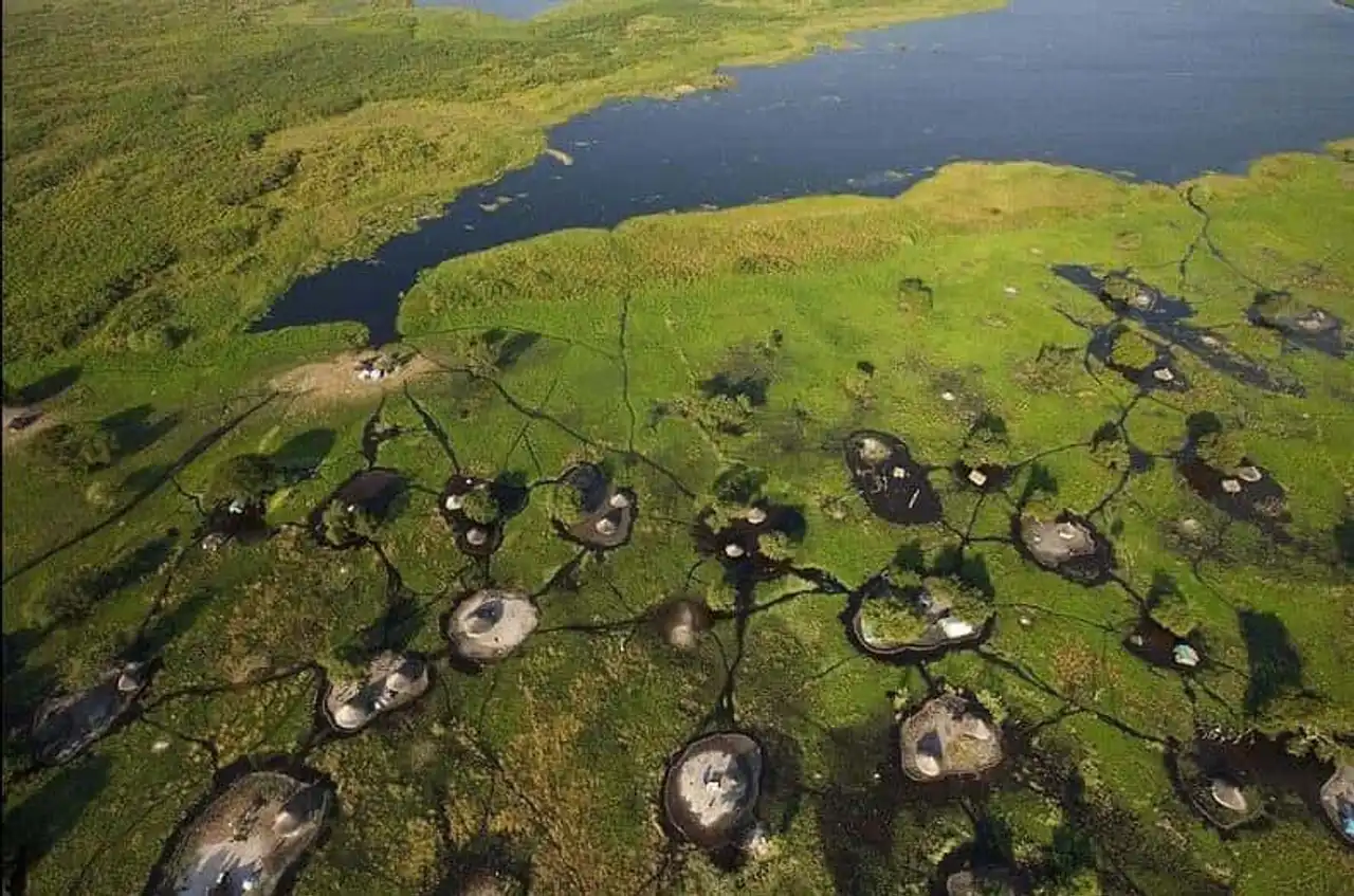
These are photos by Yann Arthus-Bertrand show us villages in the marshes of the White Nile near the city of Bor, in Jonglei State, South Sudan.
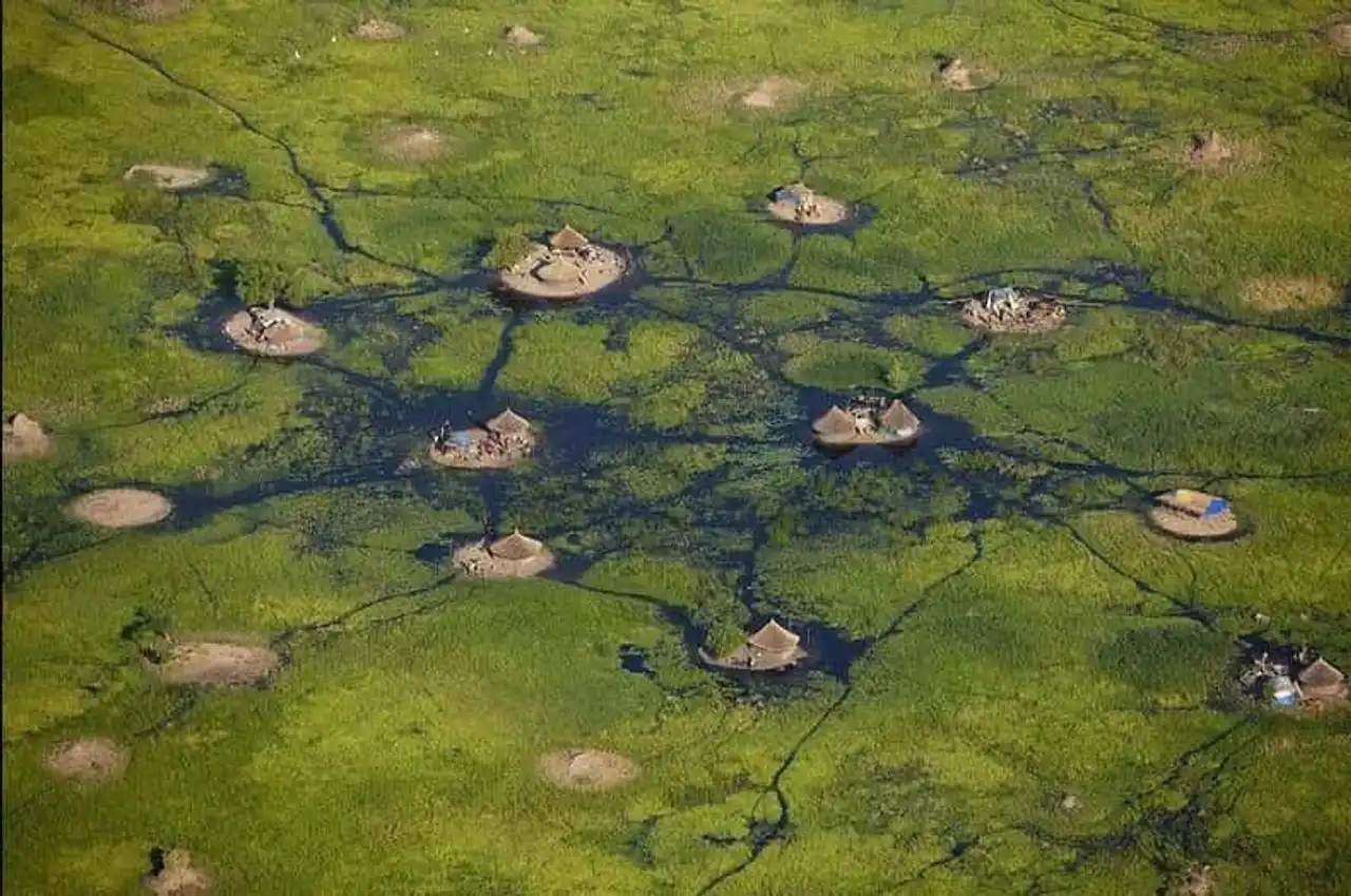
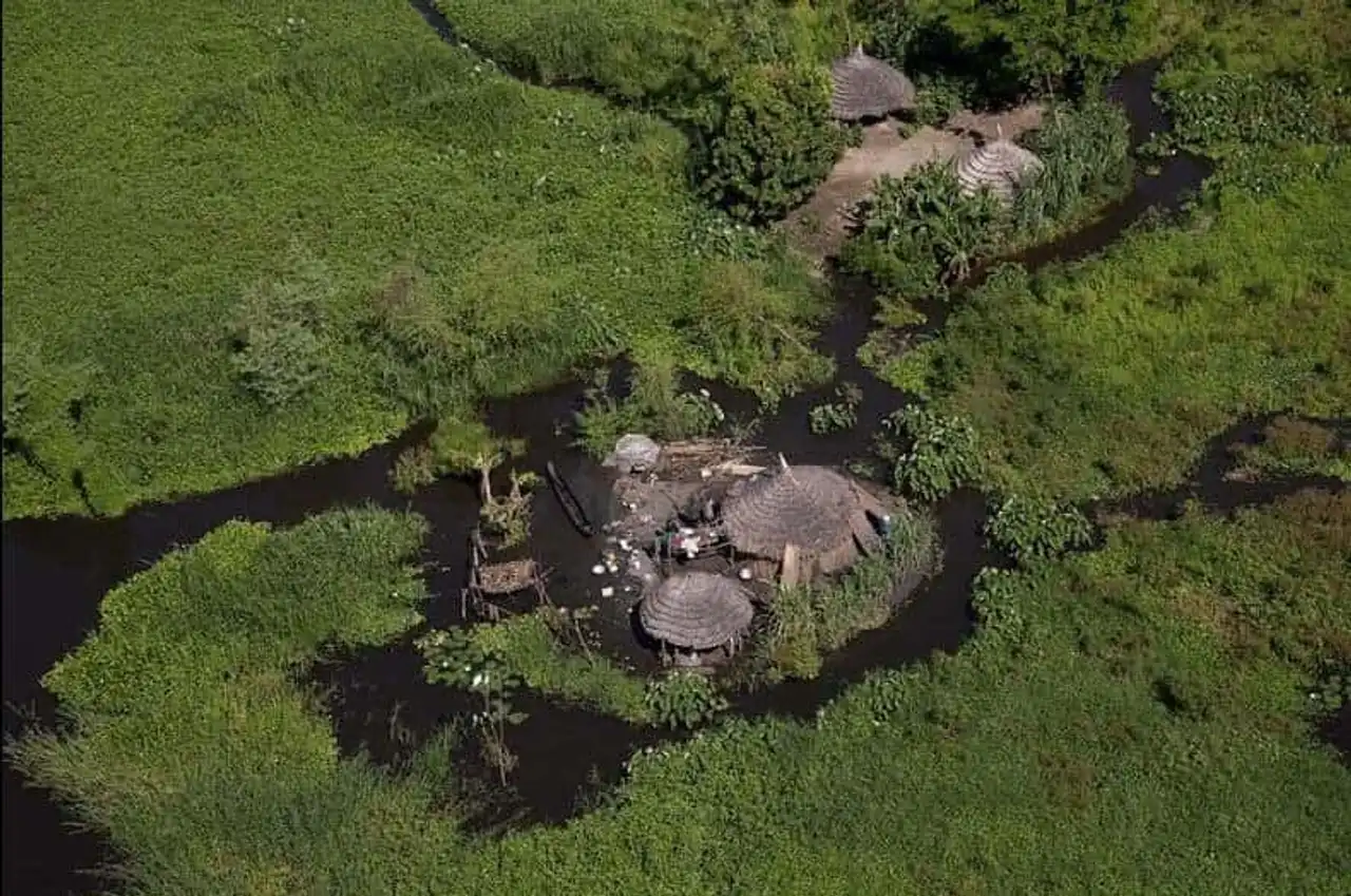
Photos : yannarthusbertrand.org . Sources: Wikipedia , Wikipedia , University of Texas


Loading comments ...